Hoades Wood
Wood, Forest in Kent Canterbury
England
Hoades Wood
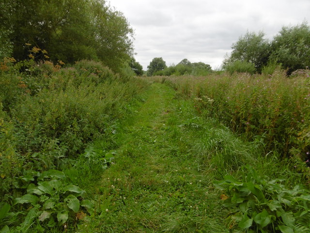
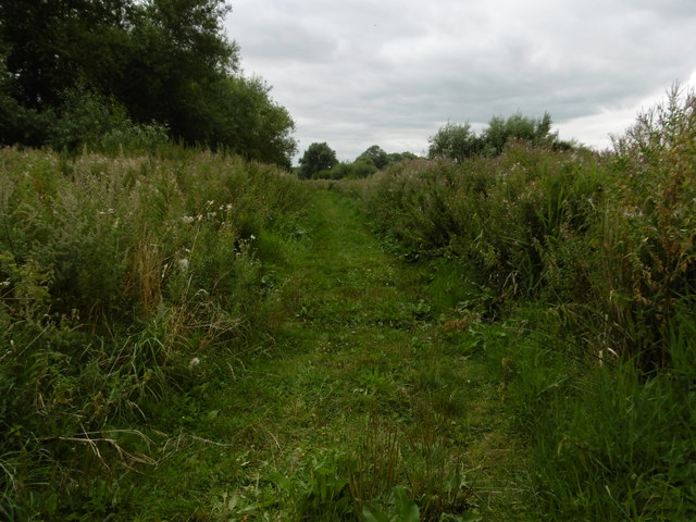
Hoades Wood is a picturesque woodland located in Kent, England. Situated near the village of Hoades, it covers an area of approximately 100 acres and is known for its diverse flora and fauna. The wood is managed by the Hoades Wood Trust, a local conservation organization dedicated to preserving its natural beauty and promoting environmental education.
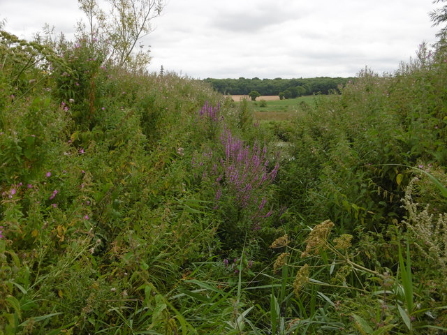
The wood is primarily composed of deciduous trees, including oak, beech, and birch, which create a stunning canopy during the summer months. The forest floor is carpeted with bluebells and other wildflowers, adding to the enchanting atmosphere. Hoades Wood is also home to a variety of wildlife, including deer, foxes, badgers, and a wide array of bird species. Birdwatchers often visit the wood to catch a glimpse of rare species such as the woodpecker and tawny owl.
The wood is crisscrossed by a network of footpaths and trails, making it easily accessible for visitors who wish to explore its natural wonders. Walking through the wood, visitors can enjoy the tranquility and solitude it offers, away from the hustle and bustle of urban life. The wood is particularly popular among nature enthusiasts, photographers, and families who enjoy picnicking in its peaceful surroundings.
Hoades Wood is a hidden gem in the Kent countryside, a place where people can reconnect with nature and appreciate the beauty of the natural world. Its conservation efforts and commitment to environmental education make it an important asset in preserving the local ecosystem for future generations to enjoy.
If you have any feedback on the listing, please let us know in the comments section below.
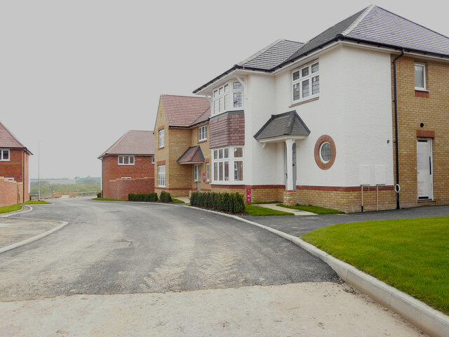
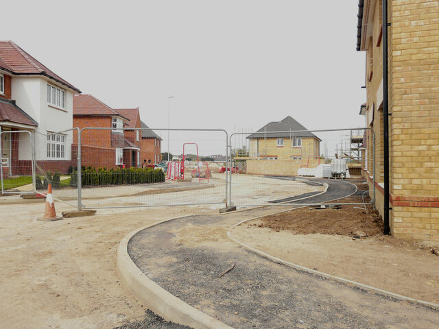
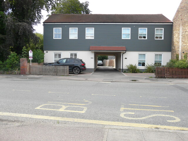
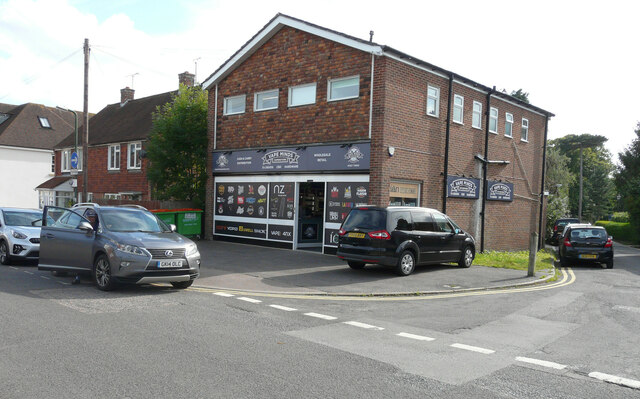
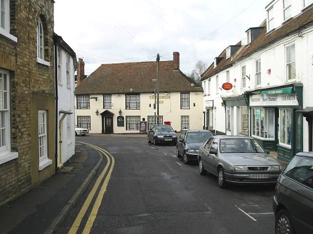
Hoades Wood Images
Images are sourced within 2km of 51.308506/1.1303234 or Grid Reference TR1861. Thanks to Geograph Open Source API. All images are credited.
Hoades Wood is located at Grid Ref: TR1861 (Lat: 51.308506, Lng: 1.1303234)
Administrative County: Kent
District: Canterbury
Police Authority: Kent
What 3 Words
///driveways.volunteered.soldiers. Near Sturry, Kent
Nearby Locations
Related Wikis

King's School Canterbury Boat Club
King's School Canterbury Boat Club is a rowing club based at Brett Sturry Quarry, Westbere Lakes, Sturry, Canterbury, Kent. == History == The club has...
Sturry
Sturry is a village on the Great Stour river situated 3 miles (4.8 km) northeast of Canterbury in Kent. Its large civil parish incorporates several hamlets...

Sturry Pit
Sturry Pit is a 0.7 hectares (1.7 acres) geological Site of Special Scientific Interest north-east of Canterbury in Kent. It is a Geological Conservation...

Westbere
Westbere is a small village and civil parish in Kent, England, centred 4 miles (6.4 km) north-east of Canterbury city centre along the A28 road to the...
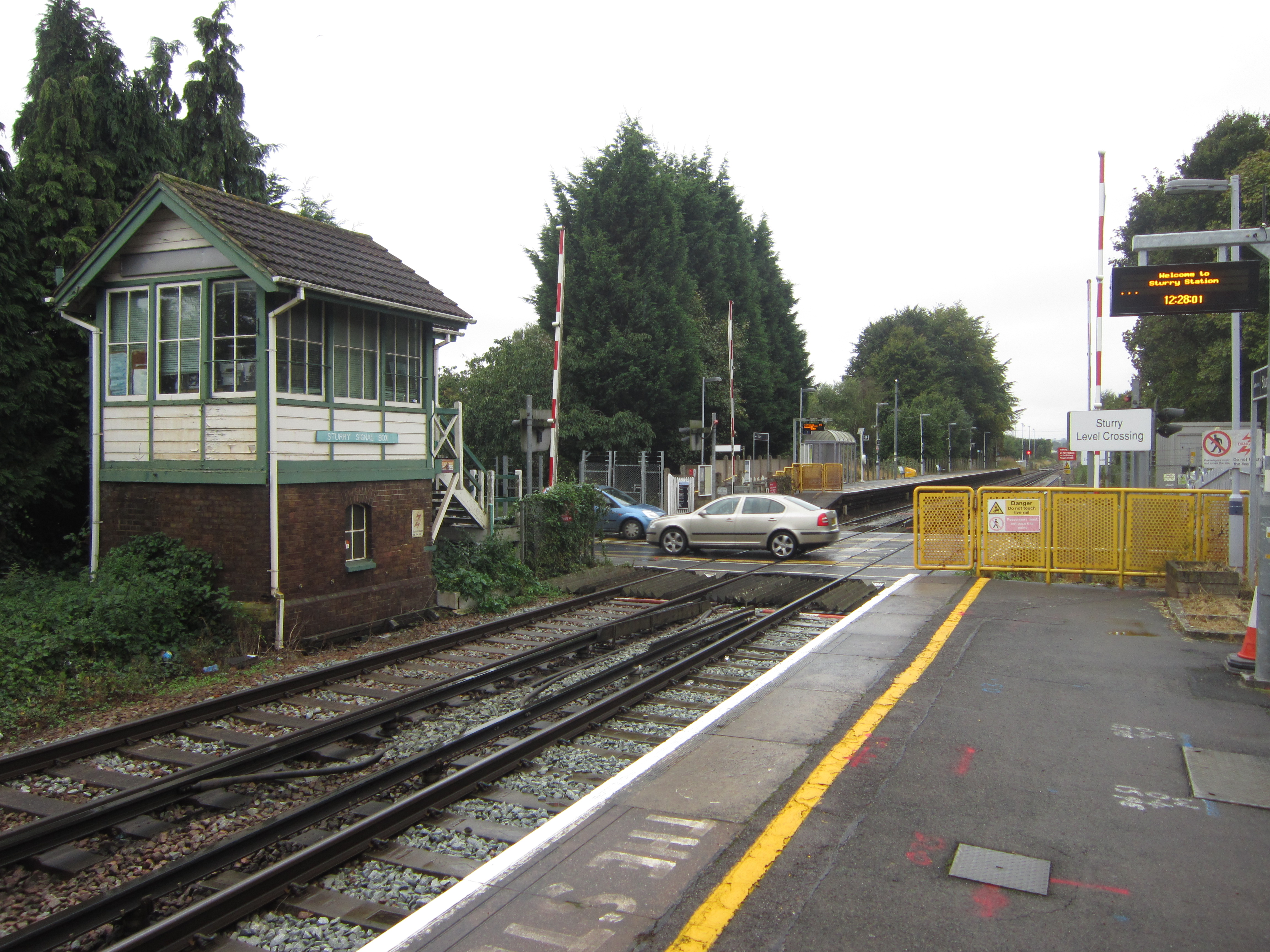
Sturry railway station
Sturry railway station is a railway station Kent, England, serving Sturry and Fordwich on the Ashford to Ramsgate line in Kent. It is 2+1⁄4 miles (3.6...

Tithe Barn, Sturry
The Tithe Barn, Sturry, Kent, England is a barn dating from the early 16th century. The barn was built as the tithe barn for the grange of St Augustine...
Spires Academy
The Spires Academy is a non-selective secondary school for pupils aged 11–16 in Canterbury, Kent. There is a sixth form. The school has dual specialist...
Frank Montgomery School
The Frank Montgomery School was a mixed-gender secondary modern school in the village of Sturry near Canterbury in east Kent. It was founded in 1935 and...
Related Videos

Fordwich & Sturry, a Walking History Tour Guide Using Old Postcards Kent UK
Fordwich, (the smallest English town) and Sturry, Kent, UK, A walking history tour guide of Fordwich and Sturry using old ...
Fordwich, Kent wood walk and camping kit review
A lovely 4 and a bit mile geo-cache walk through Fordwich, Kent whilst also trying out new camping kit.

FIRST walk in 5 MONTHS!!!
This was my first group walk in 5 months and it felt so good. Walking as a group feels like the most natural fun thing to do and I am ...

I Visited Britain's Smallest Town, Fordwich
I visited Britain's Smallest Town, a small town on the outskirts of Canterbury, Kent. The town is called Fordwich. We continue ...
Nearby Amenities
Located within 500m of 51.308506,1.1303234Have you been to Hoades Wood?
Leave your review of Hoades Wood below (or comments, questions and feedback).