Stonerocks Plantation
Wood, Forest in Kent Canterbury
England
Stonerocks Plantation
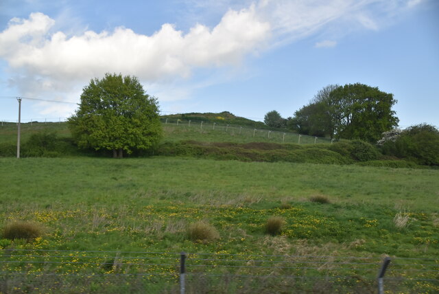
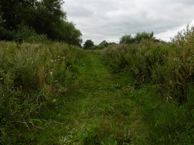
Stonerocks Plantation, located in Kent, England, is a picturesque woodland area known for its dense forest and serene environment. Spread across a vast area, this plantation is a haven for nature enthusiasts, offering a wide array of flora and fauna to explore.
The plantation is predominantly covered in woodlands, with towering trees creating a canopy that provides shade and tranquility. These trees consist of various species, including oak, birch, and beech, adding to the plantation's natural beauty. The forest floor is covered in a thick layer of moss, creating a rich and vibrant undergrowth.
Stonerocks Plantation is home to an abundant wildlife population, attracting birdwatchers and animal lovers alike. Visitors can spot numerous bird species, such as woodpeckers, thrushes, and robins, as they make their way through the treetops. Additionally, the plantation is a habitat for mammals like foxes, squirrels, and deer, which can often be observed in their natural habitats.
The plantation offers several well-maintained walking trails, allowing visitors to immerse themselves in the stunning surroundings. These trails wind through the forest, providing opportunities to observe the diverse plant life and catch glimpses of wildlife along the way. The peaceful atmosphere and captivating scenery make Stonerocks Plantation an ideal destination for nature walks, picnics, and photography.
Overall, Stonerocks Plantation in Kent is a captivating natural haven that showcases the beauty of woodlands and forests. With its lush vegetation, diverse wildlife, and tranquil ambiance, it offers a memorable experience for nature enthusiasts seeking solace in the heart of Kent.
If you have any feedback on the listing, please let us know in the comments section below.
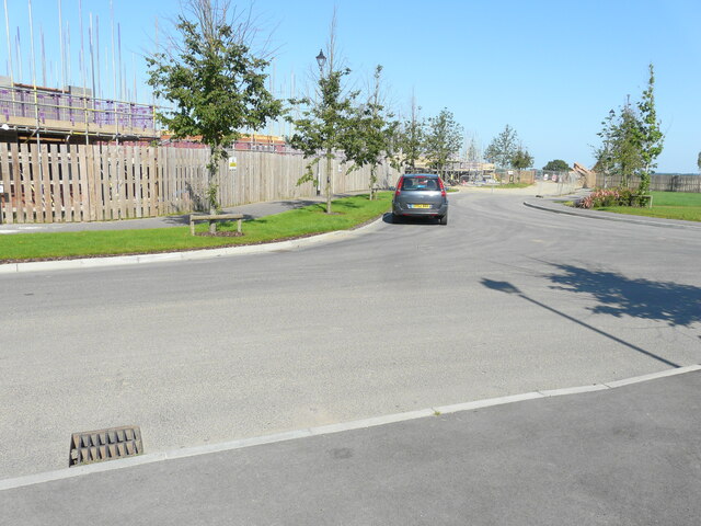
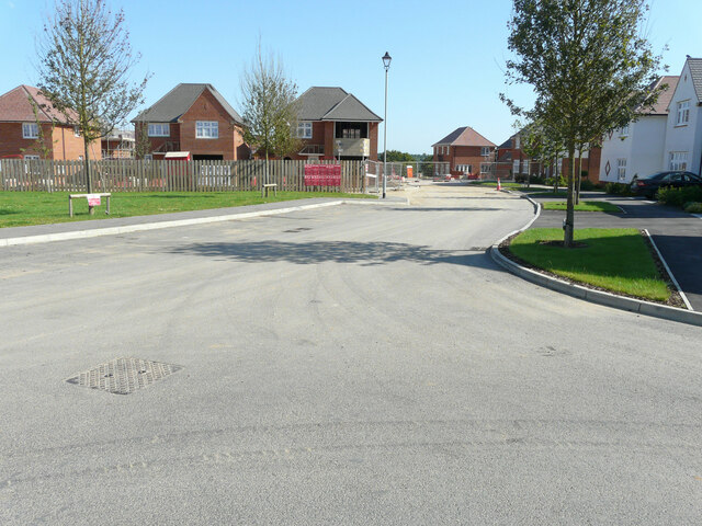
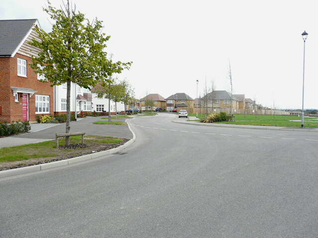
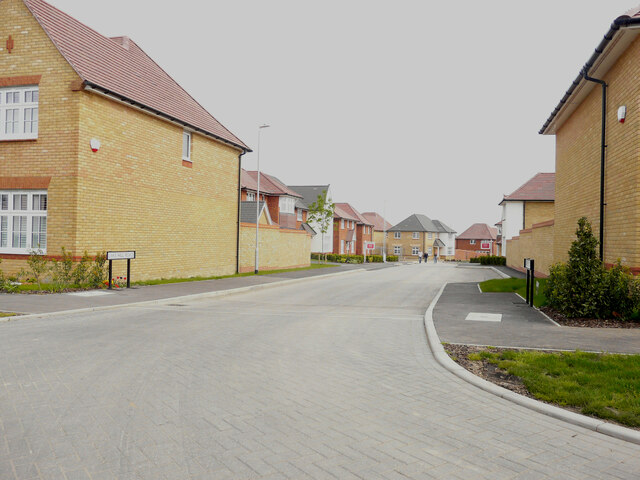
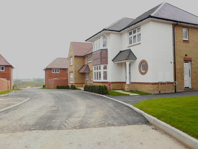
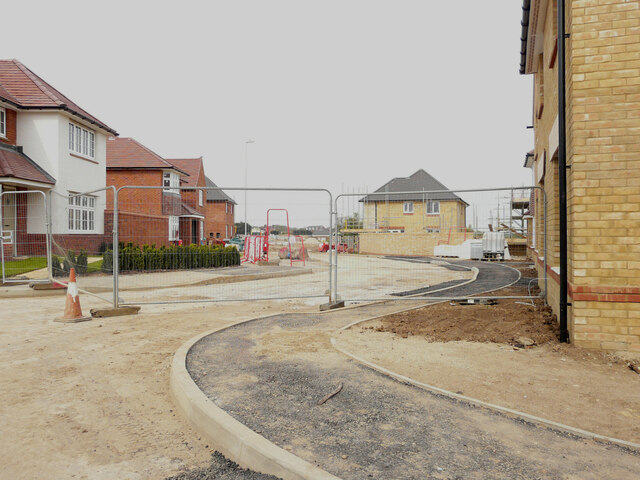
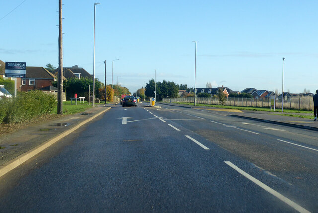
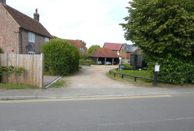
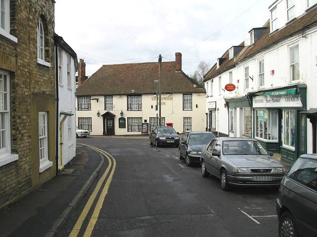
Stonerocks Plantation Images
Images are sourced within 2km of 51.312894/1.1330621 or Grid Reference TR1861. Thanks to Geograph Open Source API. All images are credited.

Stonerocks Plantation is located at Grid Ref: TR1861 (Lat: 51.312894, Lng: 1.1330621)
Administrative County: Kent
District: Canterbury
Police Authority: Kent
What 3 Words
///mega.stewing.galloping. Near Sturry, Kent
Nearby Locations
Related Wikis

Westbere
Westbere is a small village and civil parish in Kent, England, centred 4 miles (6.4 km) north-east of Canterbury city centre along the A28 road to the...

Spires Academy
The Spires Academy is a non-selective secondary school for pupils aged 11–16 in Canterbury, Kent. There is a sixth form. The school has dual specialist...
Frank Montgomery School
The Frank Montgomery School was a mixed-gender secondary modern school in the village of Sturry near Canterbury in east Kent. It was founded in 1935 and...
King's School Canterbury Boat Club
King's School Canterbury Boat Club is a rowing club based at Brett Sturry Quarry, Westbere Lakes, Sturry, Canterbury, Kent. == History == The club has...
Sturry
Sturry is a village on the Great Stour river situated 3 miles (4.8 km) northeast of Canterbury in Kent. Its large civil parish incorporates several hamlets...

Sturry Pit
Sturry Pit is a 0.7 hectares (1.7 acres) geological Site of Special Scientific Interest north-east of Canterbury in Kent. It is a Geological Conservation...
Calcott, Kent
Calcott is a hamlet in Sturry parish, in the Canterbury District of the English county of Kent. It lies on the A291 road, about 1+1⁄2 miles (2.4 km) north...
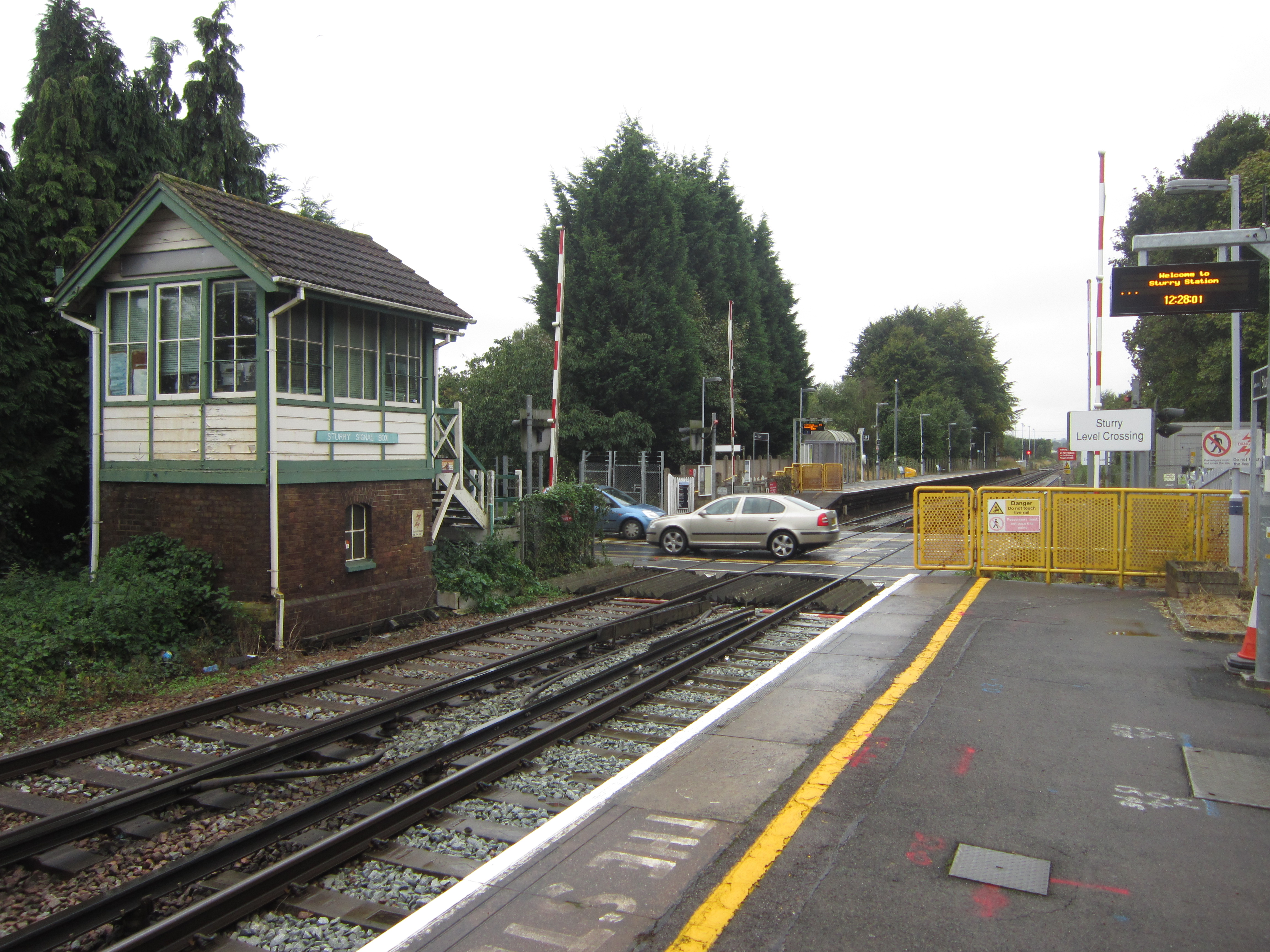
Sturry railway station
Sturry railway station is a railway station Kent, England, serving Sturry and Fordwich on the Ashford to Ramsgate line in Kent. It is 2+1⁄4 miles (3.6...
Nearby Amenities
Located within 500m of 51.312894,1.1330621Have you been to Stonerocks Plantation?
Leave your review of Stonerocks Plantation below (or comments, questions and feedback).