Glebe Wood
Wood, Forest in Suffolk Babergh
England
Glebe Wood
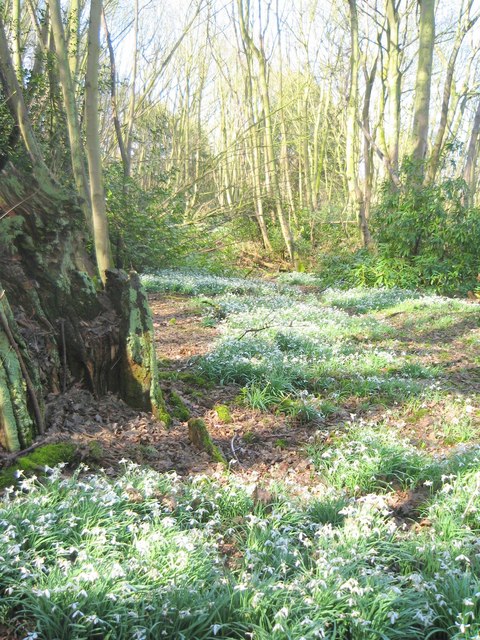
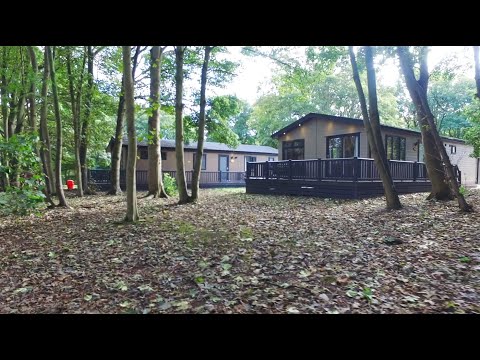
Glebe Wood is a picturesque woodland located in the county of Suffolk, England. Covering an area of approximately 50 acres, it is a haven for nature enthusiasts and those seeking a tranquil retreat.
The wood is characterized by its dense canopy of mature trees, including oak, beech, and ash, which provide a rich and varied habitat for a diverse range of wildlife. This makes it a popular destination for birdwatchers, as numerous bird species can be spotted here, including woodpeckers, thrushes, and owls. Additionally, the wood is home to a variety of mammals, such as deer, foxes, and badgers, contributing to its reputation as an important wildlife sanctuary.
Glebe Wood offers several walking trails, allowing visitors to explore its natural beauty at their own pace. These paths meander through the wood, offering glimpses of wildflowers, ferns, and moss-covered logs along the way. The peaceful atmosphere and the soothing sounds of birdsong provide a welcome respite from the hustle and bustle of everyday life.
Managed by the local council, Glebe Wood is well-maintained and boasts several picnic areas, making it an ideal spot for families and nature lovers to enjoy a day out. The wood is open to the public year-round, and the changing seasons bring their own enchantment, with vibrant autumn colors and delicate spring blossoms.
Overall, Glebe Wood showcases the natural beauty of Suffolk and provides a sanctuary for both wildlife and visitors alike. Its peaceful ambiance and diverse ecosystem make it a must-visit destination for anyone seeking a connection with nature.
If you have any feedback on the listing, please let us know in the comments section below.
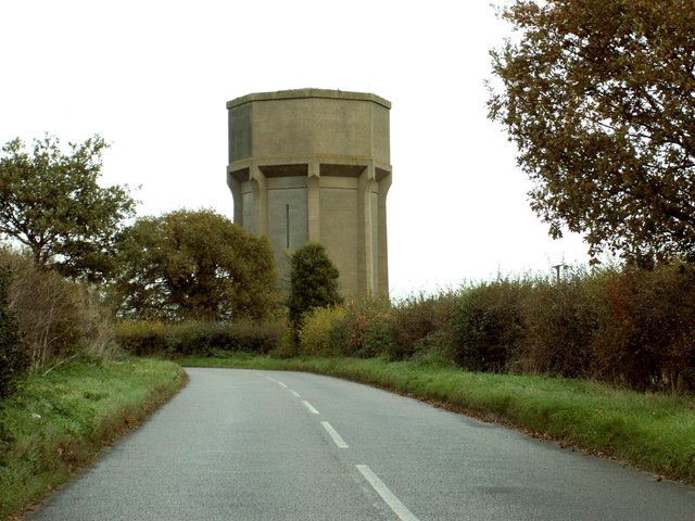
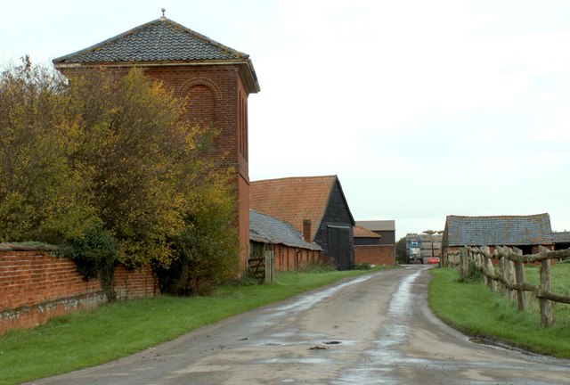
Glebe Wood Images
Images are sourced within 2km of 51.995049/1.1810484 or Grid Reference TM1837. Thanks to Geograph Open Source API. All images are credited.


Glebe Wood is located at Grid Ref: TM1837 (Lat: 51.995049, Lng: 1.1810484)
Administrative County: Suffolk
District: Babergh
Police Authority: Suffolk
What 3 Words
///stammer.capacity.strike. Near Holbrook, Suffolk
Nearby Locations
Related Wikis

Woolverstone
Woolverstone is a small village and civil parish in Suffolk, England located on the Shotley peninsula. It is situated about 6.4 km (4.0 mi) south of Ipswich...

Shotley Peninsula
The Shotley Peninsula is a rural area east of the A137 Ipswich-Colchester road located between the rivers Stour and Orwell in Suffolk, England. The peninsula...
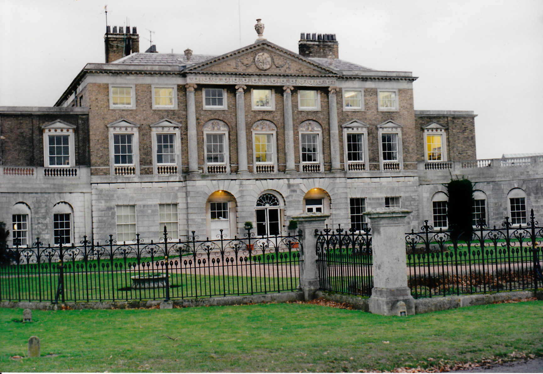
Woolverstone Hall School
In the early 1950s the London County Council obtained use of Woolverstone Hall near Ipswich, Suffolk, and some 50 acres (200,000 m2) of adjoining land...
Ipswich High School, Suffolk
Ipswich High School is a co-educational private school at Woolverstone Hall near Ipswich, England. Formerly an exclusive school for girls, it was converted...
Holbrook Academy, Suffolk
Holbrook Academy is a secondary school with academy status located in the village of Holbrook, 5 miles (8 km) south of Ipswich in the English county of...

Freston, Suffolk
Freston is a small village and civil parish in the Babergh district, in the county of Suffolk, England, located on the Shotley Peninsula, 4 miles south...

Holbrook, Suffolk
Holbrook is a village situated close to the northern shore of the estuary of the River Stour, in Suffolk, England. It is located on the Shotley Peninsula...

Chelmondiston
Chelmondiston is a small village and civil parish in Suffolk, England located on the Shotley Peninsula, five miles south-east of Ipswich. The hamlet of...
Related Videos
4k Relaxing and Peaceful Riverside Walk at low tide, Pin Mill Suffolk
4K Relaxing riverside walk. Join me on a gentle relaxing walk on the last day of 2021! Enjoy the calming sound of seagulls and ...

HOW I RESEARCH A LOCATION - PIN MILL - LONG EXPOSURE PHOTOGRAPHY
Pin mill has been on my bucket list for a while and I always wanted to do a Gary Gough long exposure-type image from this ...
Woolverstone Marina and Lodge Park: A wonderful staycation
Set in 22 acres of beautiful parkland on the River Orwell, Woolverstone Marina and Lodge Park is the perfect escape from the ...

Choose MDL Holidays for your idyllic UK Staycation
If you're looking for the perfect UK staycation then we have two stunning locations to choose from. Ideal any time of the year for ...
Nearby Amenities
Located within 500m of 51.995049,1.1810484Have you been to Glebe Wood?
Leave your review of Glebe Wood below (or comments, questions and feedback).