Willow Wood

Wood, Forest in Kent Shepway

England

Willow Wood

The Old Farmhouse, North Lyminge Lane Compared with <a href="https://www.geograph.org.uk/photo/4390822">TR1641 : Old Farm House, North Lyminge Lane</a>, this shows the extension that was built and mentioned in the planning application.
The Old Farmhouse, North Lyminge Lane Credit: John Baker

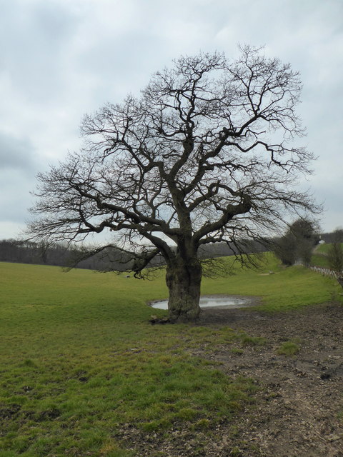
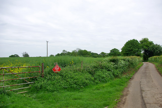
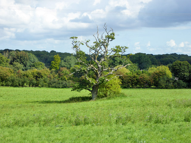
Willow Wood is a magnificent forest located in the county of Kent, England. Covering an area of approximately 500 acres, it is known for its dense population of willow trees, which give the woodland its name. The forest is situated in a picturesque landscape, surrounded by rolling hills and meandering streams, creating a tranquil and enchanting atmosphere.

The woodland is a haven for wildlife, providing a diverse habitat for a wide range of species. Visitors to Willow Wood may be fortunate enough to spot deer grazing amongst the trees, or catch a glimpse of the elusive red fox darting through the undergrowth. The forest is also home to a variety of bird species, including the great spotted woodpecker and the barn owl.

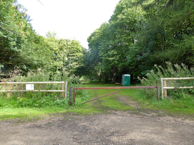
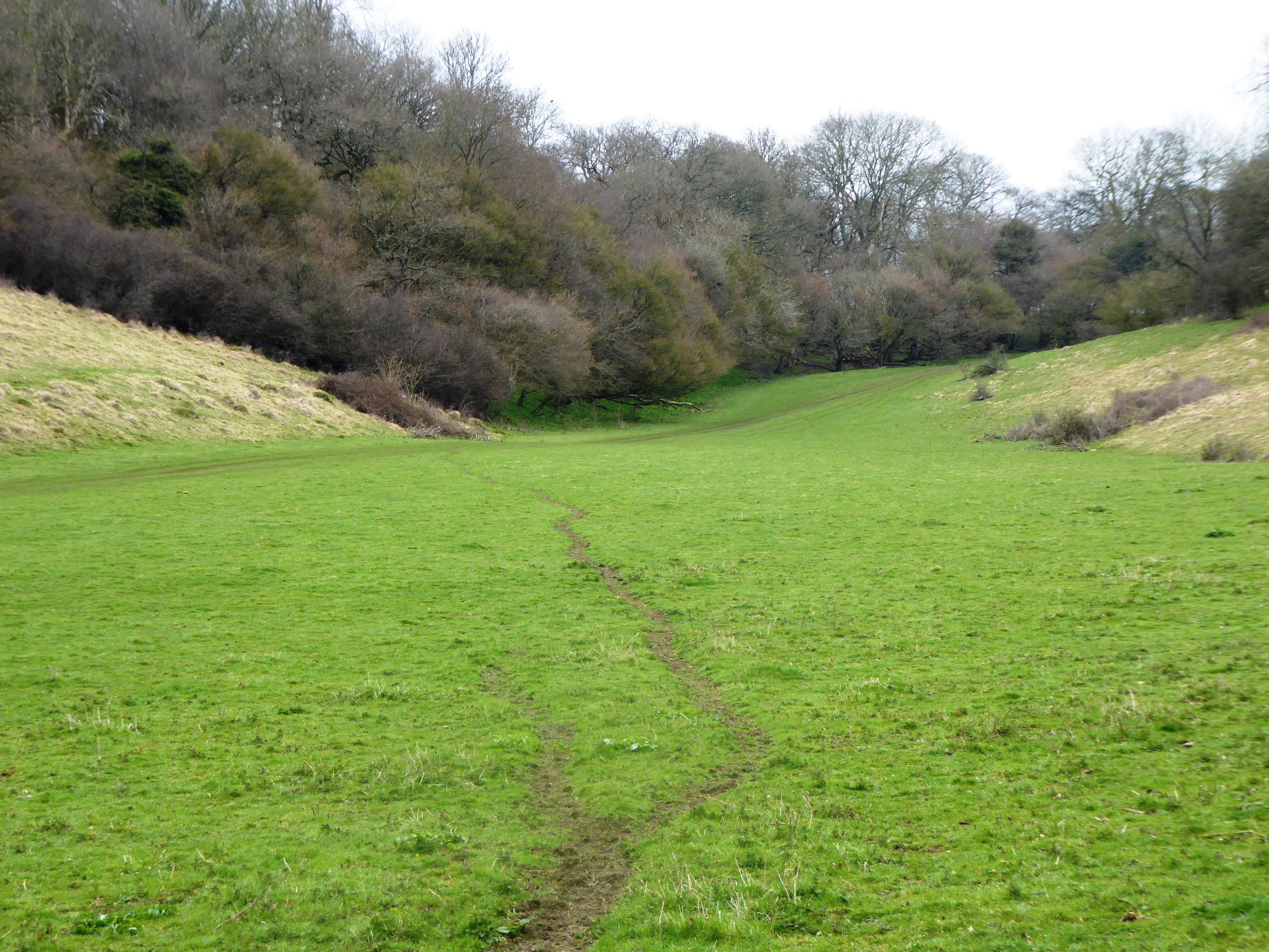
The woodland is a popular destination for nature enthusiasts and outdoor enthusiasts alike. It offers a network of well-maintained walking trails, providing opportunities for leisurely strolls or more challenging hikes. The forest boasts breathtaking views from numerous vantage points, allowing visitors to soak in the natural beauty of the surrounding countryside.

In addition to its natural splendor, Willow Wood is also of historical significance. It is believed to have been inhabited by humans for thousands of years, with archaeological evidence suggesting its use during the Neolithic period. The forest has witnessed the passage of time and serves as a reminder of the rich cultural heritage of the region.

Overall, Willow Wood in Kent is a captivating destination that offers a perfect blend of natural beauty, wildlife, and historical significance. It is a place where visitors can immerse themselves in the wonders of nature and experience the tranquility of a truly remarkable woodland setting.

If you have any feedback on the listing, please let us know in the comments section below.
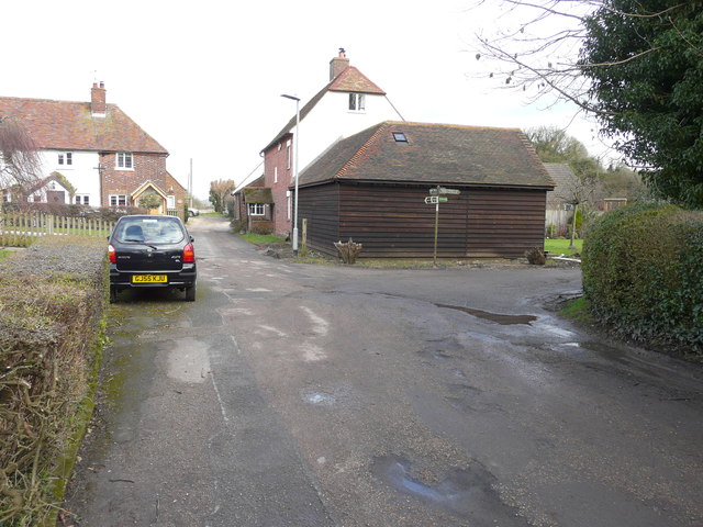
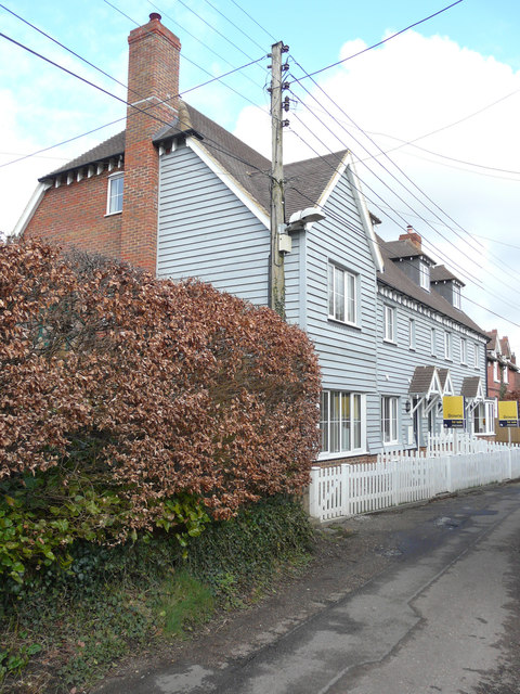
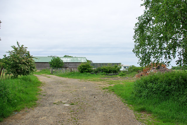
Willow Wood Images

Images are sourced within 2km of 51.122369/1.1178584 or Grid Reference TR1840. Thanks to Geograph Open Source API. All images are credited.

The Old Farmhouse, North Lyminge Lane Compared with <a href="https://www.geograph.org.uk/photo/4390822">TR1641 : Old Farm House, North Lyminge Lane</a>, this shows the extension that was built and mentioned in the planning application.
The Old Farmhouse, North Lyminge Lane
Compared with TR1641 : Old Farm House, North Lyminge Lane, this shows the extension that was built and mentioned in the planning application.
A terrace of four cottages, North Lyminge Lane These were built on the <a href="https://www.geograph.org.uk/photo/2823165">TR1641 : Former site of Thoroughly Wood, North Lyminge Lane</a>, which, after its demolition, appeared as <a href="https://www.geograph.org.uk/photo/4390819">TR1641 : Hoarding along North Lyminge Lane</a>. Each has been named after trees ie Oak Cottage, Cherry Cottage, Ash Cottage and Yew Cottage.
A terrace of four cottages, North Lyminge Lane
These were built on the TR1641 : Former site of Thoroughly Wood, North Lyminge Lane, which, after its demolition, appeared as TR1641 : Hoarding along North Lyminge Lane. Each has been named after trees ie Oak Cottage, Cherry Cottage, Ash Cottage and Yew Cottage.
Winter tree, Acrise
Winter tree, Acrise
Lane towards Etchinghill From Shuttlesfield.
Lane towards Etchinghill
From Shuttlesfield.
Farm track near Paddlesworth Court Farm It appears to be mainly access to stables and paddocks.
Farm track near Paddlesworth Court Farm
It appears to be mainly access to stables and paddocks.
Lane from Paddlesworth to Densole
Lane from Denshole to Paddlesworth
Lane towards Etchinghill
Out of bounds to troops A military training area covers a large area of agricultural land around here, so these signs are frequent where troops are not supposed to roam.
Out of bounds to troops
A military training area covers a large area of agricultural land around here, so these signs are frequent where troops are not supposed to roam.
Lane towards Mill Down Farm
View towards Hunts Rough Wood Behind the hedge on the right of the lane to Great Shuttlesfield Farm.
View towards Hunts Rough Wood
Behind the hedge on the right of the lane to Great Shuttlesfield Farm.
Lane to Great Shuttlesfield Farm A dead-end for vehicles, publicly stopping somewhat short of the farm.
Lane to Great Shuttlesfield Farm
A dead-end for vehicles, publicly stopping somewhat short of the farm.
Country north of Winterage Lane Military training land, as much of the country around here. It does not seem to be heavily used.
Country north of Winterage Lane
Military training land, as much of the country around here. It does not seem to be heavily used.
Cattle under tree By the crossroads.
Cattle under tree
By the crossroads.
Old pit near Acrise Place There is a larger one to the left of the road, but less visible.
Old pit near Acrise Place
There is a larger one to the left of the road, but less visible.
Bridleway to Acrise Court A straightening of the mapped public route, which kinks through the field to the right at first.
Bridleway to Acrise Court
A straightening of the mapped public route, which kinks through the field to the right at first.
Tree in field, Paddlesworth A very small pond is mapped here, but it is not obvious.
Tree in field, Paddlesworth
A very small pond is mapped here, but it is not obvious.
Way into Acrise Wood In the military training area.
Way into Acrise Wood
In the military training area.
Show me another place!

Willow Wood is located at Grid Ref: TR1840 (Lat: 51.122369, Lng: 1.1178584)

Administrative County: Kent

District: Shepway

Police Authority: Kent

What 3 Words

///dispensed.comet.foam. Near Lyminge, Kent

Nearby Locations

Holmes Shaw Willow Wood

Related Wikis

Great Shuttlesfield Down

Great Shuttlesfield Down is a 21.8-hectare (54-acre) biological Site of Special Scientific Interest north of Folkestone in Kent.This unimproved grassland...

Paddlesworth

Paddlesworth is a hamlet and parish located about 3 miles (4.8 km) NNW of Folkestone in Kent, England, near Hawkinge. Paddlesworth was a sighting-point...

Cheriton Hill

Cheriton Hill is a hill overlooking the English Channel near Folkestone in the south-east corner of Kent, England. The relatively low-lying hill (reaching...

Lyminge railway station

Lyminge was a station on the Elham Valley Railway serving the village of the same name. It opened in 1887 and finally closed to passengers and freight...

Etchinghill, Kent

Etchinghill is a village in Kent, England, about 5 km north of Hythe, and 1 km north of the Channel Tunnel terminal at Cheriton, near Folkestone. It is...

Acrise Place

Acrise Place is a mainly 18th-century house located about 6 miles (9.6 km) north of Folkestone in the village of Acrise, Kent, England. It is a Grade II...

Ottinge

Ottinge is a hamlet located NNW of Folkestone in Kent, England. It lies less than one mile (1 km) from the village of Lyminge and occupies a site at a...

St Martin's Church, Acrise

St Martin's Church is an Anglican church in the village and parish of Acrise in Kent, England. The church dates back to the Norman era, and was designated...

Nearby Amenities

Located within 500m of 51.122369,1.1178584
Give Way
Direction: backward
Lat/Long: 51.1231084/1.1180932
The data included in this document is from www.openstreetmap.org. The data is made available under ODbL.

Have you been to Willow Wood?

Leave your review of Willow Wood below (or comments, questions and feedback).