Dark Plantation

Wood, Forest in Norfolk Broadland

England

Dark Plantation

Old Milestone (south face) by the B1149, Holt Road, Felthorpe Parish Carved stone post by the B1149, in parish of FELTHORPE (BROADLAND District), Holt Road, opposite No. 24, on the verge, on West side of road. Norfolk County Council pillar, erected by an unknown authority in the 19th century. An earlier photograph can be found here <a title="https://www.geograph.org.uk/photo/6616348" href="https://www.geograph.org.uk/photo/6616348">Link</a>.

Inscription reads:- : TO / HOLT / 7 / MILES : : FELTHORPE : : TO / NORWICH / 14 / MILES : 

Listed. 

Milestone Society National ID: NO_NH07.
Old Milestone (south face) by the B1149, Holt Road, Felthorpe Parish Credit: Alan Lake

Dark Plantation is a woodland located in the county of Norfolk, England. Stretching over an area of approximately X square kilometers, it is known for its dense and mysterious atmosphere, earning the name "Dark Plantation." The woodland is situated in close proximity to the village of X, offering residents and visitors alike a tranquil natural escape.

The plantation is characterized by its thick canopy of trees, predominantly consisting of native species such as oak, beech, and birch. These towering giants create a dark and shadowy ambiance, particularly during the early morning or late afternoon hours. The forest floor is covered in a lush carpet of mosses, ferns, and wildflowers, adding to the enchanting beauty of the surroundings.

Dark Plantation attracts nature enthusiasts, hikers, and photographers who are captivated by its serene and untouched environment. The woodland is home to a variety of wildlife, including deer, foxes, rabbits, and an array of bird species. It provides a vital habitat for many creatures and contributes to the biodiversity of the region.

The plantation is crisscrossed with a network of well-maintained walking trails, allowing visitors to explore its depths and discover its hidden treasures. These paths lead to picturesque clearings, babbling brooks, and small ponds, providing opportunities for peaceful contemplation and immersion in nature.

Dark Plantation holds historical significance as well, with some parts dating back centuries. It has witnessed the passage of time and remains a reminder of Norfolk's rich heritage.

Overall, Dark Plantation is a captivating woodland, offering a sanctuary for both nature lovers and those seeking solace in its mysterious allure.

If you have any feedback on the listing, please let us know in the comments section below.

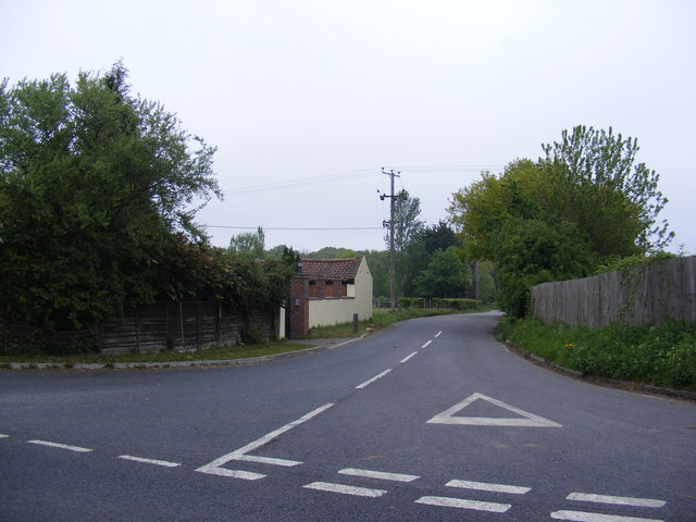
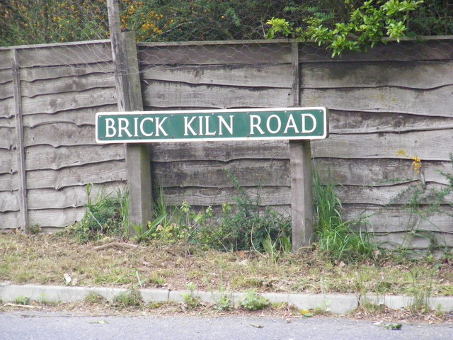
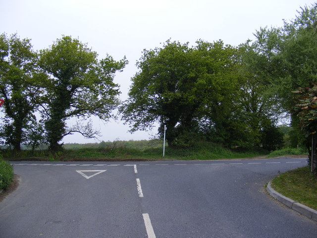
Dark Plantation Images

Images are sourced within 2km of 52.743197/1.2324858 or Grid Reference TG1821. Thanks to Geograph Open Source API. All images are credited.

Old Milestone (south face) by the B1149, Holt Road, Felthorpe Parish Carved stone post by the B1149, in parish of FELTHORPE (BROADLAND District), Holt Road, opposite No. 24, on the verge, on West side of road. Norfolk County Council pillar, erected by an unknown authority in the 19th century. An earlier photograph can be found here <a title="https://www.geograph.org.uk/photo/6616348" href="https://www.geograph.org.uk/photo/6616348">Link</a>.

Inscription reads:- : TO / HOLT / 7 / MILES : : FELTHORPE : : TO / NORWICH / 14 / MILES : 

Listed. 

Milestone Society National ID: NO_NH07.
Old Milestone (south face) by the B1149, Holt Road, Felthorpe Parish
Carved stone post by the B1149, in parish of FELTHORPE (BROADLAND District), Holt Road, opposite No. 24, on the verge, on West side of road. Norfolk County Council pillar, erected by an unknown authority in the 19th century. An earlier photograph can be found here Link. Inscription reads:- : TO / HOLT / 7 / MILES : : FELTHORPE : : TO / NORWICH / 14 / MILES : Listed. Milestone Society National ID: NO_NH07.
Short -Thorn Road & Short -Thorn Road Postbox Looking towards the A140 Cromer Road
Postbox No.NR10 1064
Short -Thorn Road & Short -Thorn Road Postbox
Looking towards the A140 Cromer Road Postbox No.NR10 1064
Short -Thorn Road Postbox On Short-Thorn Road
Postbox No.NR10 1064
Short -Thorn Road Postbox
On Short-Thorn Road Postbox No.NR10 1064
Short -Thorn Road Postbox On Short-Thorn Road
Postbox No.NR10 1064
In the background is a George V Postbox converted to a private residence letterbox
Short -Thorn Road Postbox
On Short-Thorn Road Postbox No.NR10 1064 In the background is a George V Postbox converted to a private residence letterbox
Short -Thorn Road Looking towards the B1149 Holt Road
Short -Thorn Road
Looking towards the B1149 Holt Road
Short -Thorn Road Looking towards the A140 Cromer Road
Short -Thorn Road
Looking towards the A140 Cromer Road
Hevingham Village Notice Board Off Short-Thorn Road
Hevingham Village Notice Board
Off Short-Thorn Road
Map of Hevingham & Stratton Strawless Parish walks Off Short-Thorn Road
Map of Hevingham & Stratton Strawless Parish walks
Off Short-Thorn Road
Map of Hevingham & Stratton Strawless Parish walks Off Short-Thorn Road
(Close up)
Map of Hevingham & Stratton Strawless Parish walks
Off Short-Thorn Road (Close up)
Short -Thorn Road, Felthorpe Approaching the B1149 Holt Road
Short -Thorn Road, Felthorpe
Approaching the B1149 Holt Road
Map of Hevingham & Stratton Strawless Parish walks Off Short-Thorn Road
(Very close up)
Map of Hevingham & Stratton Strawless Parish walks
Off Short-Thorn Road (Very close up)
Map of Hevingham & Stratton Strawless Parish walks (Very close up)
Map of Hevingham & Stratton Strawless Parish walks
(Very close up)
Bracken Brae Garage, Felthorpe Off Short Thorn Road
Bracken Brae Garage, Felthorpe
Off Short Thorn Road
B1149 Holt Street, Hevingham At the junction with Brick Kiln Road
B1149 Holt Street, Hevingham
At the junction with Brick Kiln Road
Brick Kiln Road, Hevingham At the junction with the B1149 Holt Street
Brick Kiln Road, Hevingham
At the junction with the B1149 Holt Street
Brick Kiln Road sign On Brick Kiln Road at the junction with the B1149 Holt Street
Brick Kiln Road sign
On Brick Kiln Road at the junction with the B1149 Holt Street
Brick Kiln Road, Hevingham At the junction with the B1149 Holt Road
Brick Kiln Road, Hevingham
At the junction with the B1149 Holt Road
B1149 Holt Road, Haveringland Near Marsham Lodge
B1149 Holt Road, Haveringland
Near Marsham Lodge
Show me another place!

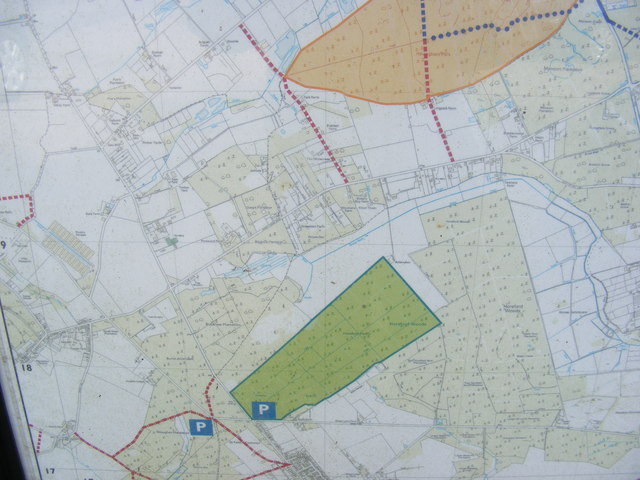
Dark Plantation is located at Grid Ref: TG1821 (Lat: 52.743197, Lng: 1.2324858)

Administrative County: Norfolk

District: Broadland

Police Authority: Norfolk

What 3 Words

///devours.vesting.altitude. Near Horsford, Norfolk

Related Wikis

St Faith's and Aylsham Rural District

St Faith's and Aylsham Rural Districts were adjacent rural districts in Norfolk, England from 1894 to 1935. They were formed under the Local Government...

Hevingham

Hevingham is a village and civil parish in the Broadland district of the English county of Norfolk. Situated between the A140 road Norwich to Cromer road...

Haveringland

Haveringland is a village and civil parish in the English county of Norfolk about 8 miles (13 km) north-west of Norwich. It covers an area of 8.91 km2...

Cawston and Marsham Heaths

Cawston and Marsham Heaths is a 116.7-hectare (288-acre) biological Site of Special Scientific Interest north of Norwich in Norfolk.These heaths are dominated...

Nearby Amenities

Located within 500m of 52.743197,1.2324858
Power: pole
Lat/Long: 52.7412317/1.2260123
Power: pole
Lat/Long: 52.7405635/1.2268504
Power: pole
Lat/Long: 52.7396874/1.2280038
Post Box
Operator: Royal Mail
Operator Wikidata: Q638098
Post Box Type: lamp
Ref: NR10 1059
Lat/Long: 52.7475046/1.2345515
Defibrillator
Booth: K6
Covered: booth
Defibrillator Location: inside old red phone box, The Heath, Hevingham
Disused Amenity: telephone
Emergency: defibrillator
Man Made: telephone_box
Ref GB The Circuit: 43276681-FDA9-4AEE-BF35-B13F00F63F9B
Lat/Long: 52.7474409/1.2324486
The data included in this document is from www.openstreetmap.org. The data is made available under ODbL.

Have you been to Dark Plantation?

Leave your review of Dark Plantation below (or comments, questions and feedback).