The Wilderness

Wood, Forest in Kent Canterbury

England

The Wilderness

Telecom mast
Telecom mast Credit: N Chadwick

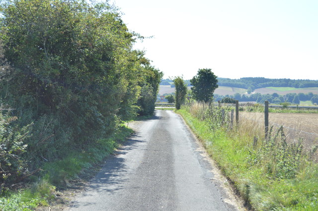
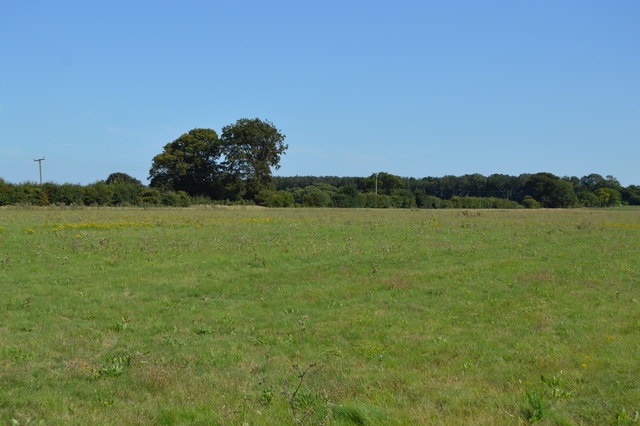
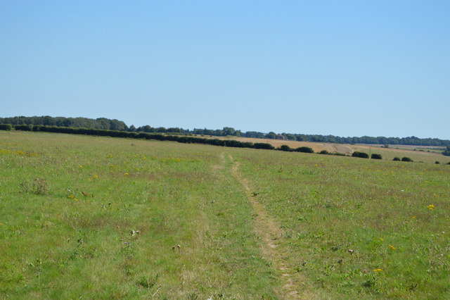
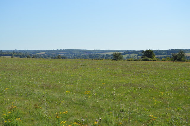
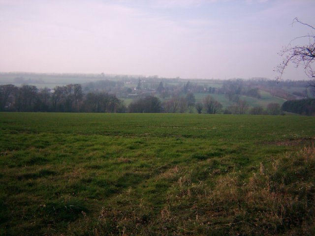
The Wilderness, Kent, also known as The Wilderness Wood or The Wilderness Forest, is a captivating woodland located in the county of Kent, England. Spanning over 60 acres, this picturesque forest is renowned for its natural beauty and tranquility. It is nestled within the High Weald Area of Outstanding Natural Beauty, offering visitors a unique opportunity to immerse themselves in nature.

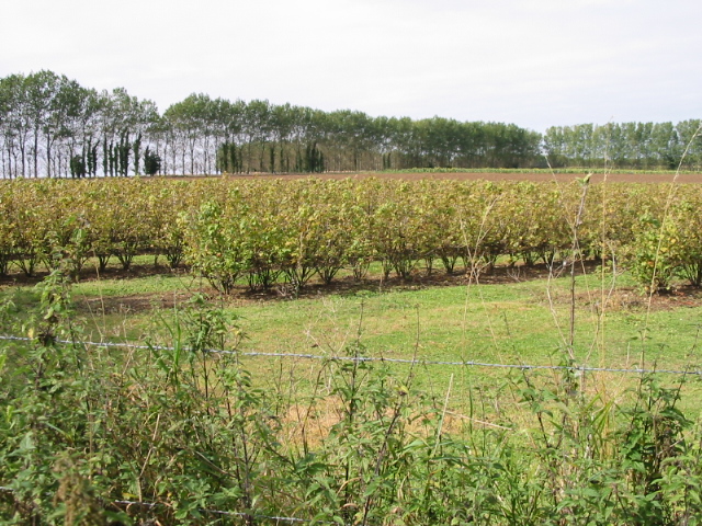
The Wilderness boasts a diverse range of tree species, including oak, birch, beech, and chestnut, which create a rich and vibrant canopy. This lush woodland is home to an abundance of wildlife, making it a haven for nature enthusiasts and avid bird watchers. Visitors can spot various bird species, such as woodpeckers, finches, and owls, as well as mammals like badgers, deer, and foxes.

The forest offers an array of activities for all ages. Families can enjoy picnicking in the open meadows, exploring the nature trails, or embarking on an enchanting woodland adventure. The Wilderness also provides opportunities for camping, where visitors can spend a night under the stars surrounded by the soothing sounds of nature.

In addition to its natural offerings, The Wilderness hosts educational workshops and events throughout the year. These range from woodland crafts and foraging sessions to educational talks on conservation and sustainability. The forest is committed to promoting environmental awareness and sustainable practices, making it an ideal destination for eco-conscious visitors.

Overall, The Wilderness, Kent, is a captivating woodland retreat that offers a tranquil escape from the hustle and bustle of everyday life. With its stunning scenery, diverse wildlife, and engaging activities, it provides a memorable experience for nature lovers and families alike.

If you have any feedback on the listing, please let us know in the comments section below.

The Wilderness Images

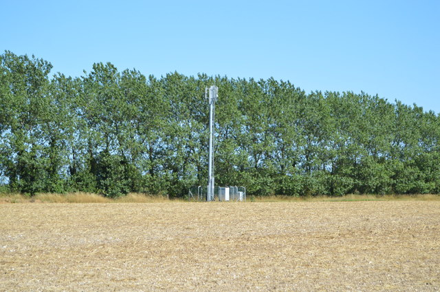
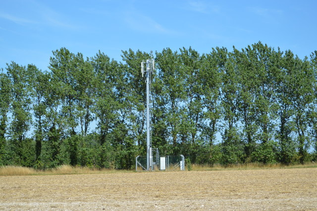
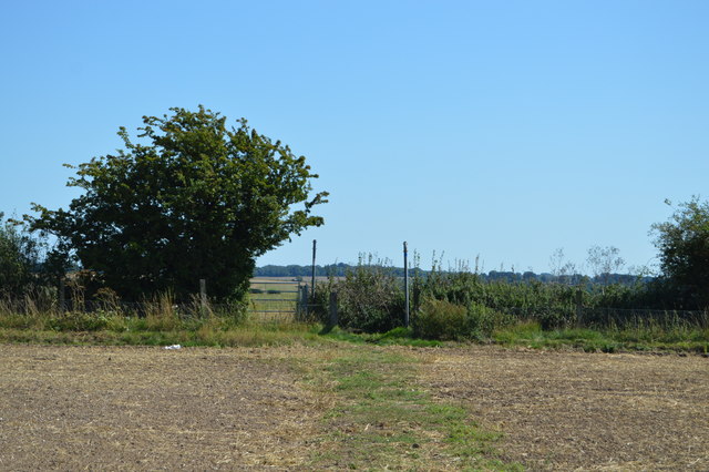
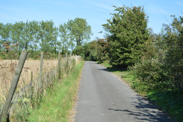
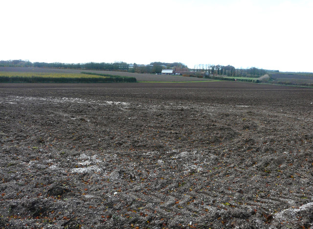
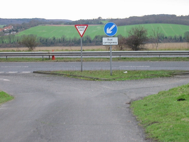
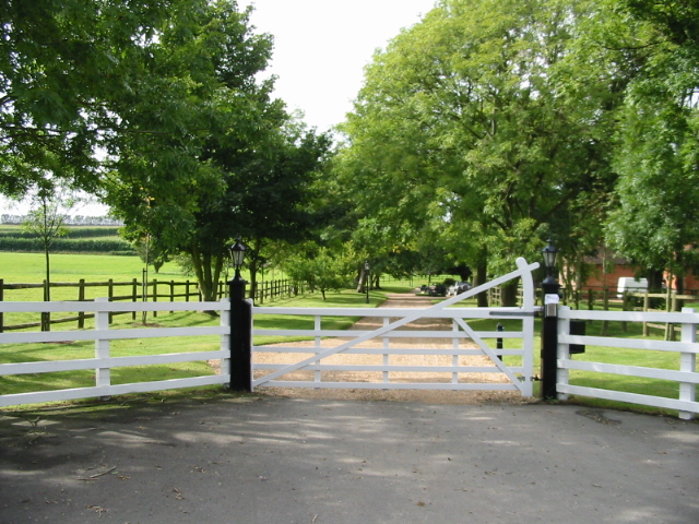
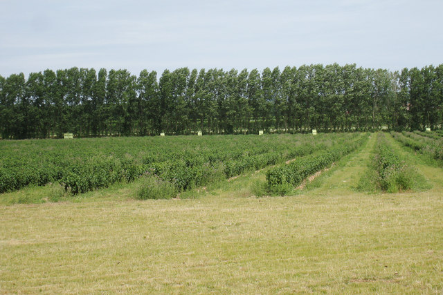
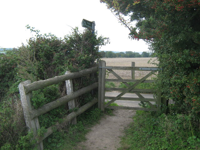
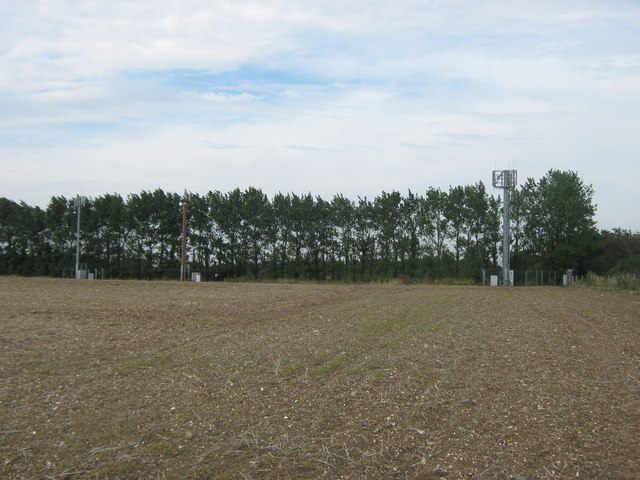
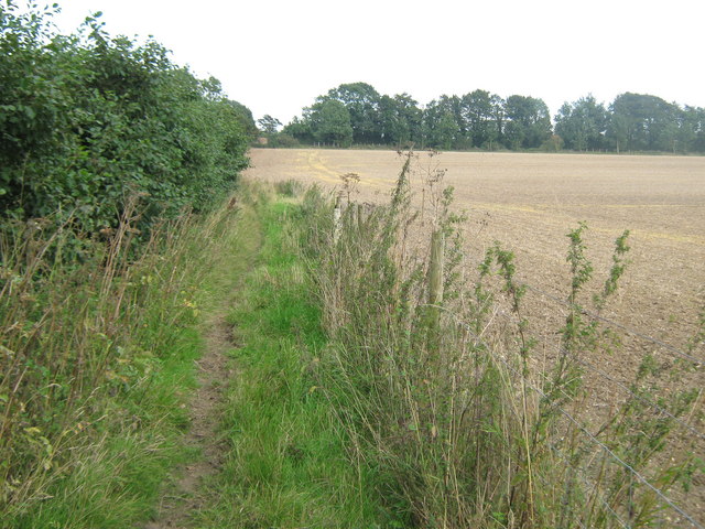
Images are sourced within 2km of 51.232734/1.1256332 or Grid Reference TR1852. Thanks to Geograph Open Source API. All images are credited.

Telecom mast
Telecom mast
Telecom mast
Telecom mast
North Downs Way A long distance path in southern England. It runs from Farnham to Dover, past Godalming, Guildford, Dorking, Merstham, Otford and Rochester, along the Surrey Hills Area of Outstanding Natural Beauty (AONB) and Kent Downs AONB. East of Boughton Lees, the path splits in two, the northern section running via Canterbury and the southern via Wye. The two sections of the path reunite at Dover. The northern route is 211 km long, and the southern route 201 km, the total length of the North Downs Way being 246 km.
The pathway is mixed in that it varies throughout its length from footpath status to bridleway, byway and road. Some 19% of the Way follows roads, though 75% of those are minor lanes. It is marked by an acorn. See <a href="https://www.geograph.org.uk/photo/1165027">TQ6561 : Crossover in Long Distance pathways</a>.
See <span class="nowrap"><a title="http://www.nationaltrail.co.uk/Northdowns/" rel="nofollow ugc noopener" href="http://www.nationaltrail.co.uk/Northdowns/">Link</a><img style="margin-left:2px;" alt="External link" title="External link - shift click to open in new window" src="https://s1.geograph.org.uk/img/external.png" width="10" height="10"/></span> for more details and an interactive map of the trail.
North Downs Way
A long distance path in southern England. It runs from Farnham to Dover, past Godalming, Guildford, Dorking, Merstham, Otford and Rochester, along the Surrey Hills Area of Outstanding Natural Beauty (AONB) and Kent Downs AONB. East of Boughton Lees, the path splits in two, the northern section running via Canterbury and the southern via Wye. The two sections of the path reunite at Dover. The northern route is 211 km long, and the southern route 201 km, the total length of the North Downs Way being 246 km. The pathway is mixed in that it varies throughout its length from footpath status to bridleway, byway and road. Some 19% of the Way follows roads, though 75% of those are minor lanes. It is marked by an acorn. See TQ6561 : Crossover in Long Distance pathways. See LinkExternal link for more details and an interactive map of the trail.
Lane crossing the North Downs Way
Lane to the A2
Lane to the A2
Barham Downs
Barham Downs
North Downs Way A long distance path in southern England. It runs from Farnham to Dover, past Godalming, Guildford, Dorking, Merstham, Otford and Rochester, along the Surrey Hills Area of Outstanding Natural Beauty (AONB) and Kent Downs AONB. East of Boughton Lees, the path splits in two, the northern section running via Canterbury and the southern via Wye. The two sections of the path reunite at Dover. The northern route is 211 km long, and the southern route 201 km, the total length of the North Downs Way being 246 km.
The pathway is mixed in that it varies throughout its length from footpath status to bridleway, byway and road. Some 19% of the Way follows roads, though 75% of those are minor lanes. It is marked by an acorn. See <a href="https://www.geograph.org.uk/photo/1165027">TQ6561 : Crossover in Long Distance pathways</a>.
See <span class="nowrap"><a title="http://www.nationaltrail.co.uk/Northdowns/" rel="nofollow ugc noopener" href="http://www.nationaltrail.co.uk/Northdowns/">Link</a><img style="margin-left:2px;" alt="External link" title="External link - shift click to open in new window" src="https://s1.geograph.org.uk/img/external.png" width="10" height="10"/></span> for more details and an interactive map of the trail.
North Downs Way
A long distance path in southern England. It runs from Farnham to Dover, past Godalming, Guildford, Dorking, Merstham, Otford and Rochester, along the Surrey Hills Area of Outstanding Natural Beauty (AONB) and Kent Downs AONB. East of Boughton Lees, the path splits in two, the northern section running via Canterbury and the southern via Wye. The two sections of the path reunite at Dover. The northern route is 211 km long, and the southern route 201 km, the total length of the North Downs Way being 246 km. The pathway is mixed in that it varies throughout its length from footpath status to bridleway, byway and road. Some 19% of the Way follows roads, though 75% of those are minor lanes. It is marked by an acorn. See TQ6561 : Crossover in Long Distance pathways. See LinkExternal link for more details and an interactive map of the trail.
Chalk grassland
Chalk grassland
Land at Highland Court Farm, Coldharbour Lane Planning permission was refused by Canterbury City Council under application number CA//18/01948 for a "hybrid planning application for mixed use development for leisure, commercial and tourism uses comprising: (1) A detailed planning application for a centre for sporting excellence (to include sports pitches, changing rooms, clubhouse and floodlights), business innovation centre, food and drinks hub and leisure hub; with access and associated highways works. (2) An outline planning application (with all matters reserved) for business uses, food and drinks hub, innovation centre, home farm centre, artisan offices, mixed use court and holiday homes; plus associated access, landscaping, parking and drainage infrastructure". 

The development would not have reached as far as the corner of this muddy field but it would have been a blot on the landscape, which lies within an Area of Outstanding Natural Beauty.  

Highland Court Farm <a href="https://www.geograph.org.uk/gridref/TR1953">TR1953</a> is visible in the distance.
Land at Highland Court Farm, Coldharbour Lane
Planning permission was refused by Canterbury City Council under application number CA//18/01948 for a "hybrid planning application for mixed use development for leisure, commercial and tourism uses comprising: (1) A detailed planning application for a centre for sporting excellence (to include sports pitches, changing rooms, clubhouse and floodlights), business innovation centre, food and drinks hub and leisure hub; with access and associated highways works. (2) An outline planning application (with all matters reserved) for business uses, food and drinks hub, innovation centre, home farm centre, artisan offices, mixed use court and holiday homes; plus associated access, landscaping, parking and drainage infrastructure". The development would not have reached as far as the corner of this muddy field but it would have been a blot on the landscape, which lies within an Area of Outstanding Natural Beauty. Highland Court Farm TR1953 is visible in the distance.
Junction of Brambling Road with the Dover bound carriageway of A2.
Entrance to Cold Harbour House
Blackcurrant bushes near the North Downs Way
Fruit Field near Cold Harbour Farm
The North Downs Way crosses Bramling Road The long distance path leads from a bridleway from Upper Digges Farm, across the lane and then towards Patrixbourne.
The North Downs Way crosses Bramling Road
The long distance path leads from a bridleway from Upper Digges Farm, across the lane and then towards Patrixbourne.
Mobile Phone Towers beside Bramling Road As seen from the North Downs Way.
Mobile Phone Towers beside Bramling Road
As seen from the North Downs Way.
Bridleway to Bramling Road This track leads from Keepers Hill Wood, through Highland Court Farm then it heads to the road (in the trees in the background).
Bridleway to Bramling Road
This track leads from Keepers Hill Wood, through Highland Court Farm then it heads to the road (in the trees in the background).
Bridge, near Canterbury View over the fields towards the village of Bridge.
Bridge, near Canterbury
View over the fields towards the village of Bridge.
Higham Park, Bridge, Kent
Show me another place!

The Wilderness is located at Grid Ref: TR1852 (Lat: 51.232734, Lng: 1.1256332)

Administrative County: Kent

District: Canterbury

Police Authority: Kent

What 3 Words

///disbanded.bounded.napped. Near Bridge, Kent

Related Wikis

Bourne Paddock

Bourne Paddock was a cricket ground at Bourne Park House, the seat of Sir Horatio Mann, at Bishopsbourne around 4 miles (6.4 km) south-east of Canterbury...
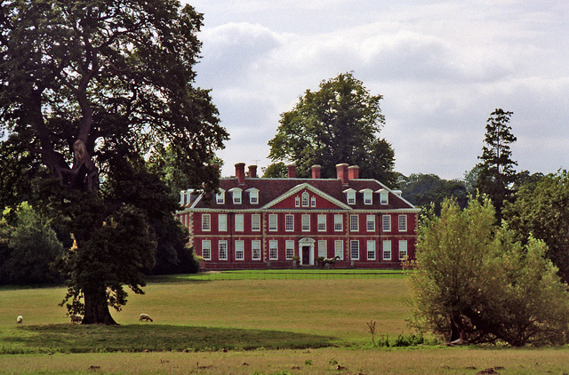
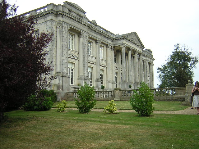
Bourne Park House

Bourne Park House is a Queen Anne style country house on Bourne Park Road, between Bishopsbourne and Bridge near Canterbury in Kent. Built in 1701, it...

Bishopsbourne railway station

Bishopsbourne was a station on the Elham Valley Railway. It opened in 1889 and closed to passengers in 1940 and freight in 1947. == History == The station...
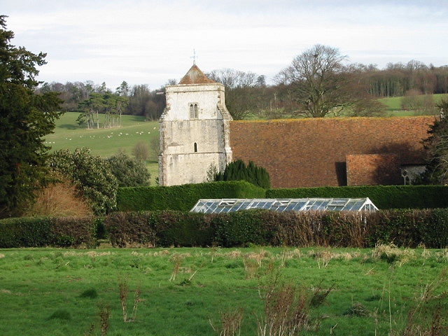
Bishopsbourne

Bishopsbourne is a mostly rural and wooded village and civil parish in Kent, England. It has two short developed sections of streets at the foot of the...

Nearby Amenities

Located within 500m of 51.232734,1.1256332
Bisshishopsbourne
Historic Railway: station
Note: Now a private residence
Railway: site
Source: Bing
Lat/Long: 51.2291616/1.1288656
The data included in this document is from www.openstreetmap.org. The data is made available under ODbL.

Have you been to The Wilderness?

Leave your review of The Wilderness below (or comments, questions and feedback).