Incleborough Hill
Hill, Mountain in Norfolk North Norfolk
England
Incleborough Hill
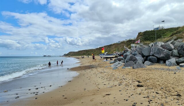
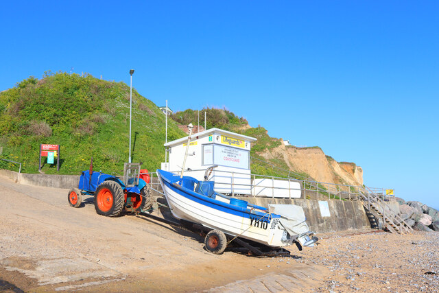
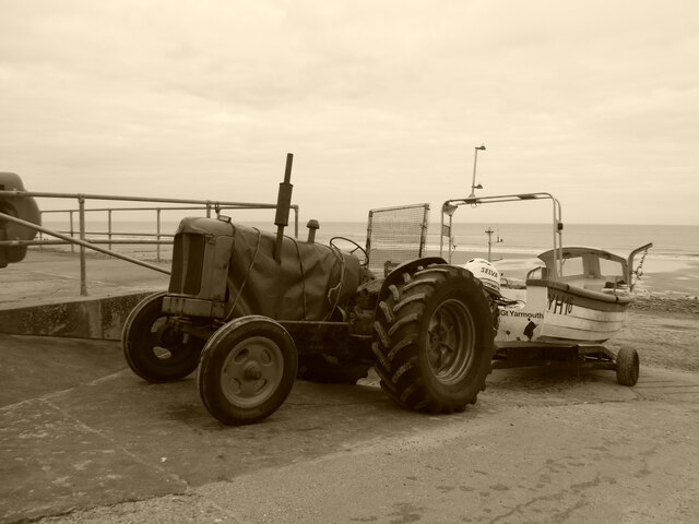
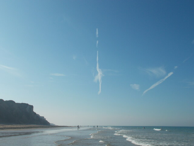
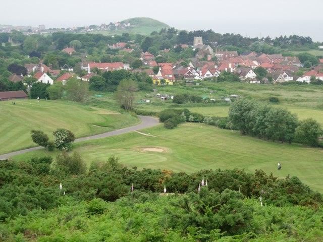
Incleborough Hill is a prominent hill located in the county of Norfolk, England. Situated near the coastal town of Mundesley, the hill rises to an elevation of 128 meters (420 feet) above sea level, making it the highest point in the surrounding area. As a result, it offers stunning panoramic views of the surrounding countryside and the North Sea.
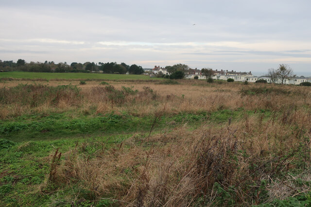
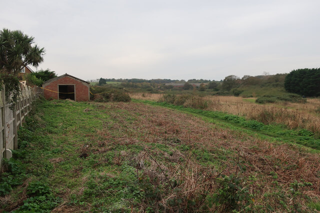
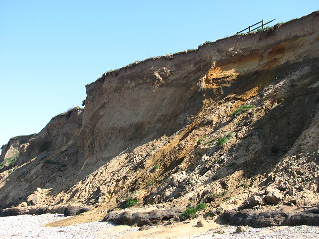
The hill itself is covered in a mix of woodland, grassland, and heathland, providing a diverse and rich habitat for a variety of flora and fauna. It is designated as a Site of Special Scientific Interest (SSSI) due to its biological importance and unique geological features.
Incleborough Hill is a popular destination for outdoor enthusiasts and nature lovers alike. It offers several walking trails, allowing visitors to explore the stunning landscape and take in the breathtaking views. The hill is also a haven for birdwatchers, with a range of bird species including buzzards, kestrels, and barn owls often spotted in the area.
Archaeological evidence suggests that the hill has been inhabited for thousands of years, with remnants of Iron Age fortifications found on its slopes. These historical features add to the cultural significance of Incleborough Hill, making it a fascinating destination for those interested in the region's past.
Overall, Incleborough Hill is a beautiful and ecologically important landmark in Norfolk, offering visitors a chance to appreciate the natural beauty of the area and explore its rich history.
If you have any feedback on the listing, please let us know in the comments section below.
Incleborough Hill Images
Images are sourced within 2km of 52.933069/1.2559751 or Grid Reference TG1842. Thanks to Geograph Open Source API. All images are credited.


Incleborough Hill is located at Grid Ref: TG1842 (Lat: 52.933069, Lng: 1.2559751)
Administrative County: Norfolk
District: North Norfolk
Police Authority: Norfolk
What 3 Words
///swanky.coffee.cabbies. Near Cromer, Norfolk
Nearby Locations
Related Wikis

Runton
Runton is a civil parish in the English county of Norfolk consisting of the villages of East Runton and West Runton. It covers an area of 5.44 km2 (2.10...

West Runton railway station
West Runton railway station is on the Bittern Line in Norfolk, England, serving the village of West Runton. It is 28 miles 55 chains (46.2 km) down the...

West Runton Mammoth
The West Runton Mammoth is a fossilized skeleton of a steppe mammoth (Mammuthus trogontherii) found in the cliffs of West Runton in the county of Norfolk...
West Runton Cliffs
West Runton Cliffs is a 17.8-hectare (44-acre) geological Site of Special Scientific Interest east of Sheringham in Norfolk. It is a Geological Conservation...
Beacon Hill, Norfolk
Beacon Hill is the highest point in the English county of Norfolk. The hill is located 0.75 miles (1.2 km) south of the village of West Runton on the North...
West Runton
West Runton is a village in North Norfolk, England, on the North Sea coast. == Toponymy == The villages name means either, Runa's farm/settlement' or...

East Runton Windmill
East Runton Windmill is a grade II listed tower mill at East Runton, Norfolk, England which has been converted to residential accommodation. == History... ==

East Runton Cliffs
East Runton Cliffs is a 20.6-hectare (51-acre) geological Site of Special Scientific Interest west of Cromer in Norfolk. It is a Geological Conservation...
Nearby Amenities
Located within 500m of 52.933069,1.2559751Have you been to Incleborough Hill?
Leave your review of Incleborough Hill below (or comments, questions and feedback).