Tower Hill

Hill, Mountain in Norfolk South Norfolk

England

Tower Hill

Richmond Road
Richmond Road Credit: Hugh Venables

Tower Hill, Norfolk, is a prominent geological feature located in the eastern part of the county of Norfolk, England. Despite its name, it is not a hill or a mountain but rather a gently sloping area of elevated ground that offers stunning panoramic views of the surrounding countryside.

Situated near the village of Snettisham, Tower Hill is renowned for its historical significance and natural beauty. The area is characterized by its diverse flora and fauna, making it a popular destination for nature enthusiasts and hikers. Tower Hill is part of the Norfolk Coast Area of Outstanding Natural Beauty, which further enhances its appeal to visitors.

The main attraction at Tower Hill is the ancient Snettisham Iron Age Fort, believed to have been built around 200 BC. This archaeological site consists of a series of earthworks and ditches that once served as a defensive structure. Visitors can explore the remains of the fort and gain insight into the lives of the Iron Age inhabitants of the region.

Tower Hill also offers picturesque walking trails that wind through its rolling landscape. These trails provide an opportunity to appreciate the unspoiled beauty of the Norfolk countryside, with its lush meadows, woodlands, and breathtaking views of the North Sea.

Overall, Tower Hill, Norfolk, is a captivating destination that seamlessly combines history, natural beauty, and recreational opportunities. Whether it is exploring the ancient fort, enjoying a leisurely hike, or simply taking in the stunning vistas, visitors to Tower Hill are guaranteed an unforgettable experience.

If you have any feedback on the listing, please let us know in the comments section below.
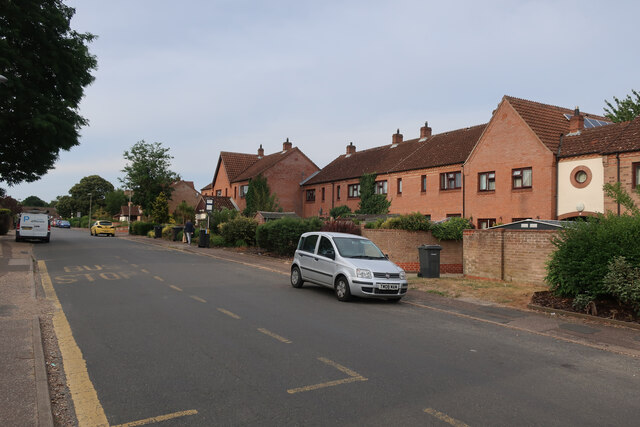
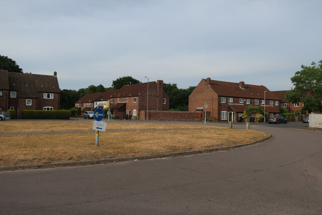
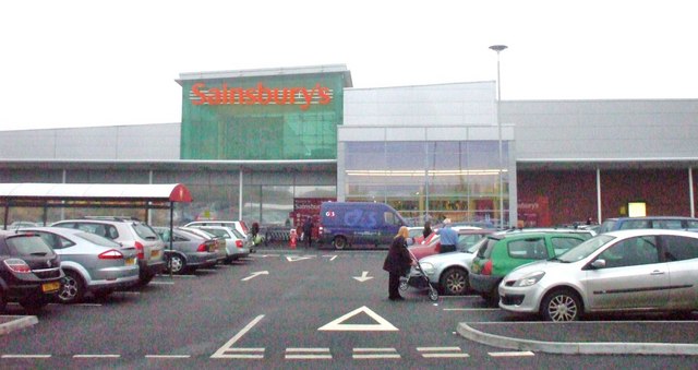
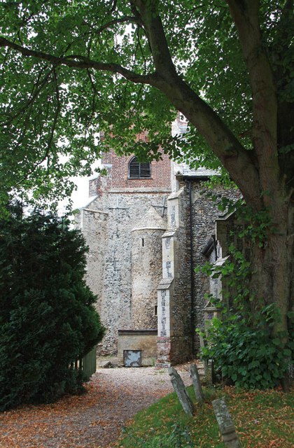
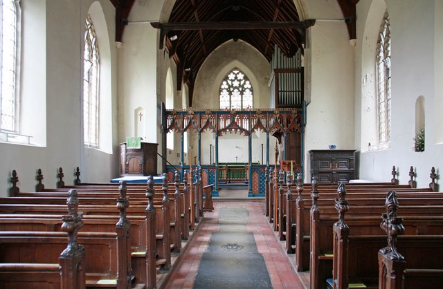
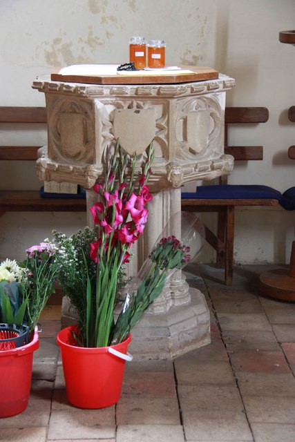
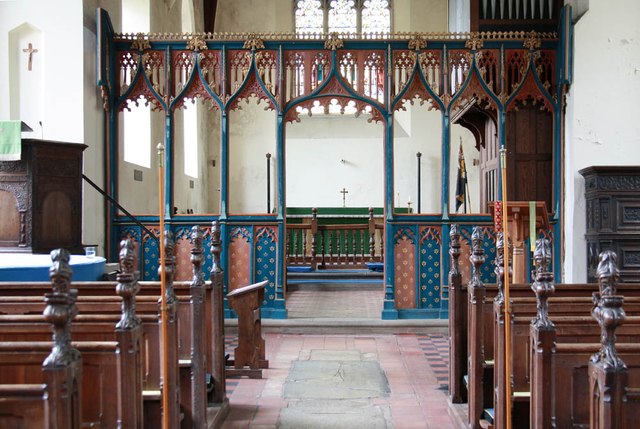
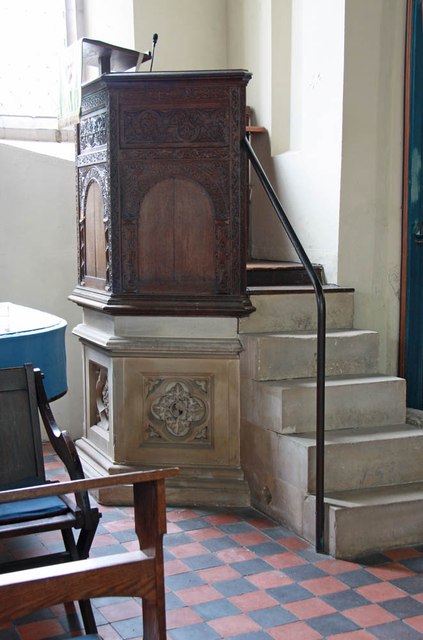
Tower Hill Images

Images are sourced within 2km of 52.660295/1.1957439 or Grid Reference TG1611. Thanks to Geograph Open Source API. All images are credited.

Richmond Road
Richmond Road
Middleton Crescent
Middleton Crescent
Old Milestone by Dereham Road, near Royal Norfolk Showground Metal plate attached to stone post by the UC road, in parish of COSTESSEY (SOUTH NORFOLK District), Dereham Road, 70yds West of Costessey Lodge entrance, rear of grass verge against wooden fence, on North side of road. Dereham iron plate, erected by the Norwich & Swaffham turnpike trust in the 19th century. An earlier photograph can be found here <a title="https://www.geograph.org.uk/photo/6037516" href="https://www.geograph.org.uk/photo/6037516">Link</a>.

Inscription reads:-
NORWICH
5
DEREHAM
11 
Carved benchmark on lower right side. 

Milestone Society National ID: NO_NSM05.
Old Milestone by Dereham Road, near Royal Norfolk Showground
Metal plate attached to stone post by the UC road, in parish of COSTESSEY (SOUTH NORFOLK District), Dereham Road, 70yds West of Costessey Lodge entrance, rear of grass verge against wooden fence, on North side of road. Dereham iron plate, erected by the Norwich & Swaffham turnpike trust in the 19th century. An earlier photograph can be found here Link. Inscription reads:- NORWICH 5 DEREHAM 11 Carved benchmark on lower right side. Milestone Society National ID: NO_NSM05.
Sainsbury's, Norwich The Longwater branch that's so big, it could almost be a hypermarket.
Sainsbury's, Norwich
The Longwater branch that's so big, it could almost be a hypermarket.
St Edmund, Costessey
St Edmund, Costessey - East end
St Edmund, Costessey - Font
St Edmund, Costessey - East end
St Edmund, Costessey - Pulpit
St Edmund, Costessey - Wall monument
St Edmund, Costessey - Ledger slab
St Edmund, Costessey - Incumbent board
St Edmund, Costessey - War Memorial
St Edmund, Costessey
Show me another place!

Tower Hill is located at Grid Ref: TG1611 (Lat: 52.660295, Lng: 1.1957439)

Administrative County: Norfolk

District: South Norfolk

Police Authority: Norfolk

What 3 Words

///putty.simulates.romance. Near Costessey, Norfolk

Related Wikis

Costessey Hall

Costessey Hall (pronounced and sometimes spelt Cossey Hall, also written as Cotesby Hall) was a manor house in Costessey, Norfolk, England, four miles...

Costessey

Costessey ( KOSS-ee) is a town and civil parish in the South Norfolk district of Norfolk, England, and is 4 miles (6.4 km) north west of Norwich. The...

Ormiston Victory Academy

Ormiston Victory Academy (formerly Costessey High School) is a secondary school and sixth form located in Costessey, Norfolk, England. The academy has...

Taverham

Taverham is a village and civil parish in Norfolk, in England. It is approximately 5 miles (8 km) north-west of Norwich. Taverham sits on the River Wensum...

Marriott's Way

The Marriott's Way is a footpath, cycle-path and bridleway in north Norfolk, England, between Norwich and Aylsham via Themelthorpe. It forms part of the...

Taverham Hall School

Taverham Hall School was a private co-educational day and boarding preparatory school. Situated in Taverham, Norfolk, it was founded in 1920. The school...

Drayton railway station

Drayton railway station is a former station in Norfolk, England. Constructed by the Midland and Great Northern Joint Railway in the 1880s, on the line...

Thorpe Marriott

Thorpe Marriott is a residential area in Norfolk, England covering part of Taverham and Drayton parishes. Much of the housing was built in the latter part...

Nearby Amenities

Located within 500m of 52.660295,1.1957439
Traffic Calming: hump
Lat/Long: 52.6621367/1.1979793
Traffic Calming: cushion
Lat/Long: 52.6589477/1.2026155
Traffic Calming: hump
Lat/Long: 52.6611191/1.1988555
Traffic Calming: hump
Lat/Long: 52.6606578/1.1993459
Traffic Calming: hump
Lat/Long: 52.6616773/1.1983662
Traffic Calming: hump
Lat/Long: 52.6631154/1.1974552
Traffic Calming: hump
Lat/Long: 52.6636526/1.1972336
Post Box
Collection Times: Mo-Fr 09:00; Sa 07:00
Operator: Royal Mail
Post Box Type: wall
Ref: NR8 801D
Lat/Long: 52.6591202/1.2022689
Traffic Calming: bump
Lat/Long: 52.658375/1.197755
Traffic Calming: bump
Lat/Long: 52.658424/1.199191
Traffic Calming: bump
Lat/Long: 52.658475/1.199991
Traffic Calming: hump
Lat/Long: 52.6642913/1.1969813
Traffic Calming: hump
Lat/Long: 52.6616675/1.1948603
Traffic Calming: hump
Lat/Long: 52.6617779/1.195308
Traffic Calming: hump
Lat/Long: 52.6619323/1.1947351
Traffic Calming: bump
Lat/Long: 52.6615752/1.1955396
Entrance: main
Lat/Long: 52.6582097/1.1971798
Entrance: yes
Lat/Long: 52.6581166/1.1971523
Entrance: yes
Lat/Long: 52.658225/1.1967651
Bench
Backrest: yes
Colour: brown
Material: wood
Lat/Long: 52.6584018/1.1964176
Barrier: kissing_gate
Lat/Long: 52.6612846/1.1945504
Golf: pin
Ref: 2
Lat/Long: 52.6566172/1.1951012
Golf: pin
Ref: 7
Lat/Long: 52.6578155/1.1922207
Golf: pin
Ref: 8
Lat/Long: 52.6582172/1.1955029
Golf: pin
Ref: 9
Lat/Long: 52.6570842/1.1950336
Golf: pin
Ref: 10
Lat/Long: 52.6592077/1.1899268
Golf: pin
Ref: 16
Lat/Long: 52.6579021/1.1994368
Golf: pin
Ref: 14
Lat/Long: 52.6565009/1.1992849
Golf: pin
Ref: 18
Lat/Long: 52.6578783/1.1966257
Generator Method: photovoltaic
Generator Output Electricity: yes
Generator Solar Modules: 12
Generator Source: solar
Generator Type: solar_photovoltaic_panel
Location: roof
Power: generator
Lat/Long: 52.6601782/1.1993749
Barrier: bollard
Bollard: fixed
Material: concrete
Lat/Long: 52.6600458/1.1988957
Give Way
Lat/Long: 52.6591375/1.2019971
Speed Camera
Direction: 130
Maxspeed: 20 mph
Lat/Long: 52.6605703/1.1993343
Speed Display
Direction: SSE
Maxspeed: 20 mph
Lat/Long: 52.6611116/1.1987932
Speed Camera
Direction: 292
Maxspeed: 20 mph
Lat/Long: 52.6590036/1.2025946
Give Way
Lat/Long: 52.6588471/1.2017084
The data included in this document is from www.openstreetmap.org. The data is made available under ODbL.

Have you been to Tower Hill?

Leave your review of Tower Hill below (or comments, questions and feedback).