Daynes' Plantation

Wood, Forest in Norfolk South Norfolk

England

Daynes' Plantation

The Village Shop, Grove Avenue, Costessey See <a href="https://www.geograph.org.uk/photo/1972424">TG1810 : Your shop Village Store, Grove Avenue, Costessey</a> for an earlier view.
The Village Shop, Grove Avenue, Costessey Credit: Hugh Venables

Daynes' Plantation, located in Norfolk, is a picturesque wood or forest that spans over a vast area. With its serene atmosphere and lush greenery, it offers a beautiful escape from the hustle and bustle of city life. The plantation is renowned for its diverse range of flora and fauna, making it a popular destination for nature enthusiasts and avid photographers.

The wood boasts a variety of tree species, including oak, beech, and pine, which provide a dense canopy that filters sunlight and creates a tranquil ambiance. The forest floor is adorned with an assortment of wildflowers and ferns, adding to its natural beauty. The plantation also features several well-maintained trails, allowing visitors to explore the area on foot or by bike.

Daynes' Plantation is home to a multitude of wildlife, including deer, rabbits, squirrels, and numerous bird species. Birdwatchers can spot woodpeckers, owls, and various songbirds, making it an ideal spot for bird-watching enthusiasts. The plantation's diverse ecosystem also attracts a wide range of insects and butterflies, further enhancing its ecological significance.

Aside from its natural wonders, Daynes' Plantation offers recreational activities such as picnicking, camping, and nature walks. The plantation provides designated picnic areas with tables and benches, allowing visitors to enjoy a delightful outdoor meal amidst the tranquil surroundings. Camping facilities are available for those who wish to spend a night in the wilderness and immerse themselves in the sounds of nature.

Overall, Daynes' Plantation in Norfolk is a captivating wood or forest that offers a perfect blend of natural beauty and recreational opportunities. Whether it's a leisurely stroll, a bird-watching expedition, or a family picnic, this plantation is a haven for nature lovers seeking a peaceful retreat.

If you have any feedback on the listing, please let us know in the comments section below.

Daynes' Plantation Images

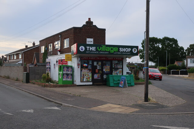
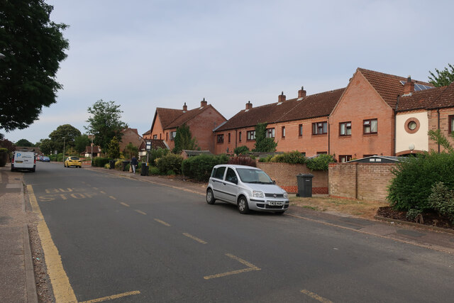
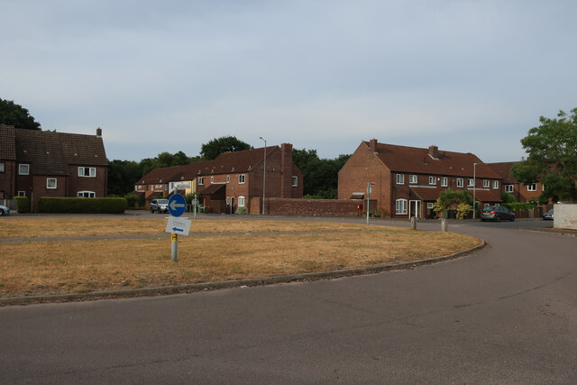
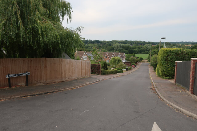
Images are sourced within 2km of 52.656084/1.2057891 or Grid Reference TG1611. Thanks to Geograph Open Source API. All images are credited.

The Village Shop, Grove Avenue, Costessey See <a href="https://www.geograph.org.uk/photo/1972424">TG1810 : Your shop Village Store, Grove Avenue, Costessey</a> for an earlier view.
The Village Shop, Grove Avenue, Costessey
Richmond Road
Richmond Road
Middleton Crescent
Middleton Crescent
Farmland Road, New Costessey
Royal Mail depot and Screwfix, Bowthorpe Industrial Area
Sinclair International, Jarrold Way Producing labels for fresh produce.
Sinclair International, Jarrold Way
Producing labels for fresh produce.
Fox Joinery, Bowthorpe Industrial Area
Bowthorpe Park Industrial Estate
Bowthorpe water tower
Sainsbury's, Norwich The Longwater branch that's so big, it could almost be a hypermarket.
Sainsbury's, Norwich
The Longwater branch that's so big, it could almost be a hypermarket.
St Edmund, Costessey
St Edmund, Costessey - East end
St Edmund, Costessey - Font
St Edmund, Costessey - East end
St Edmund, Costessey - Pulpit
Show me another place!

Daynes' Plantation is located at Grid Ref: TG1611 (Lat: 52.656084, Lng: 1.2057891)

Administrative County: Norfolk

District: South Norfolk

Police Authority: Norfolk

What 3 Words

///tickling.intestine.dabble. Near Costessey, Norfolk

Related Wikis

Costessey Hall

Costessey Hall (pronounced and sometimes spelt Cossey Hall, also written as Cotesby Hall) was a manor house in Costessey, Norfolk, England, four miles...

Ormiston Victory Academy

Ormiston Victory Academy (formerly Costessey High School) is a secondary school and sixth form located in Costessey, Norfolk, England. The academy has...

Costessey

Costessey ( KOSS-ee) is a town and civil parish in the South Norfolk district of Norfolk, England, and is 4 miles (6.4 km) north west of Norwich. The...

Marriott's Way

The Marriott's Way is a footpath, cycle-path and bridleway in north Norfolk, England, between Norwich and Aylsham via Themelthorpe. It forms part of the...

Norwich CBS F.C.

Norwich CBS Football Club is a football club based in Norwich, England. They are currently members of the Eastern Counties League Division One North and...
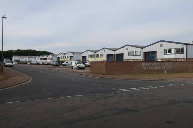
Bowthorpe

Bowthorpe is a suburban village to the west of Norwich, in the county of Norfolk, England. == Geography == Bowthorpe is primarily a residential area, but...

Drayton railway station

Drayton railway station is a former station in Norfolk, England. Constructed by the Midland and Great Northern Joint Railway in the 1880s, on the line...

Drayton, Norfolk

Drayton, Norfolk, is a suburban village in the English county of Norfolk. The village is located in the district of Broadland, 4.3 miles (6.9 km) north...

Nearby Amenities

Located within 500m of 52.656084,1.2057891
Traffic Calming: hump
Lat/Long: 52.6570486/1.2066447
Traffic Calming: choked_cushion
Lat/Long: 52.6556805/1.2063279
Traffic Calming: hump
Lat/Long: 52.6579541/1.2069079
Traffic Calming: hump
Lat/Long: 52.6574265/1.2068251
Traffic Calming: cushion
Lat/Long: 52.6589477/1.2026155
Traffic Calming: cushion
Lat/Long: 52.6586544/1.2034679
Traffic Calming: cushion
Lat/Long: 52.658329/1.2053043
Mini Roundabout
Direction: clockwise
Lat/Long: 52.6591569/1.2101628
Costessey
Alt Name: Old Costessey
Place: village
Postal Code: NR8
Website: https://www.costessey.org.uk/
Wikidata: Q2201571
Wikipedia: en:Costessey
Lat/Long: 52.6592947/1.2100682
Bus Stop
Longwater Lane / Doctors Surgery
Naptan AtcoCode: 2900C271
Naptan Bearing: N
Naptan CommonName: Medical Centre
Naptan Indicator: opp
Naptan Landmark: Recreaction Ground
Naptan Locality: Costessey
Naptan NaptanCode: nfoajpmw
Naptan PlusbusZoneRef: NRCH
Naptan Street: Longwater Lane
Shelter: yes
Source: naptan_import;survey
Lat/Long: 52.656632/1.2064418
Bus Stop
Longwater Lane / Doctors Surgery
Naptan AtcoCode: 2900C2711
Naptan Bearing: S
Naptan CommonName: Medical Centre
Naptan Indicator: adj
Naptan Landmark: Medical Centre
Naptan Latitude: 52.6563518
Naptan Locality: Costessey
Naptan Longitude: 1.2065517
Naptan NaptanCode: nfoajptd
Naptan PlusbusZoneRef: NRCH
Naptan Street: Longwater Lane
Shelter: yes
Source: naptan_import;survey
Lat/Long: 52.6561777/1.2065431
Bus Stop
Hall Drive, nr
Naptan AtcoCode: 2900C2732
Naptan Bearing: NW
Naptan CommonName: Hall Drive
Naptan Indicator: nr
Naptan Locality: Costessey
Naptan NaptanCode: nfoajtdj
Naptan PlusbusZoneRef: NRCH
Naptan Street: Longwater Lane
Naptan Verified: no
Shelter: no
Source: naptan_import
Lat/Long: 52.6534444/1.2063092
Bus Stop
Longwater Lane / The Loke
Naptan AtcoCode: 2900C2733
Naptan Bearing: S
Naptan CommonName: Hall Drive
Naptan Indicator: opp
Naptan Locality: Costessey
Naptan NaptanCode: nfoajtdm
Naptan PlusbusZoneRef: NRCH
Naptan Street: Longwater Lane
Shelter: no
Source: naptan_import;survey
Lat/Long: 52.6531578/1.2065434
Bus Stop
West End, opp
Naptan AtcoCode: 2900C2734
Naptan Bearing: NE
Naptan CommonName: West End
Naptan Indicator: opp
Naptan Landmark: Cleves Way
Naptan Locality: Costessey
Naptan NaptanCode: nfoajtdp
Naptan PlusbusZoneRef: NRCH
Naptan ShortCommonName: West End
Naptan Street: West End
Naptan Verified: no
Source: naptan_import
Lat/Long: 52.6588823/1.2084232
Bus Stop
The Harte of Costessey, adj
Naptan AtcoCode: 2900C2735
Naptan Bearing: E
Naptan CommonName: The Harte of Costessey
Naptan Indicator: adj
Naptan Locality: Costessey
Naptan NaptanCode: nfoajtdt
Naptan PlusbusZoneRef: NRCH
Naptan Street: Town House Road
Naptan Verified: no
Note: Road name is 'Townhouse Road'
Source: naptan_import
Lat/Long: 52.65909/1.2107162
Bus Stop
The Harte of Costessey, opp
Naptan AtcoCode: 2900C2736
Naptan Bearing: W
Naptan CommonName: The Harte of Costessey
Naptan Indicator: opp
Naptan Locality: Costessey
Naptan NaptanCode: nfoajtdw
Naptan PlusbusZoneRef: NRCH
Naptan Street: Town House Road
Naptan Verified: no
Note: Road name is 'Townhouse Road'
Source: naptan_import
Lat/Long: 52.6590397/1.2105794
Barrier: bollard
Bicycle: yes
Foot: yes
Lat/Long: 52.6559906/1.206509
Traffic Calming: hump
Lat/Long: 52.6565999/1.2065143
Post Box
Collection Times: Mo-Fr 09:00; Sa 07:00
Operator: Royal Mail
Post Box Type: wall
Ref: NR8 801D
Lat/Long: 52.6591202/1.2022689
Traffic Calming: bump
Lat/Long: 52.658475/1.199991
Traffic Calming: cushion
Lat/Long: 52.6583996/1.2044974
Traffic Calming: cushion
Lat/Long: 52.6583996/1.2061141
Post Office
Costessey Post Office
Brand: Post Office
Brand Wikidata: Q1783168
Check Date: 2023-09-27
Ref Pol Id: 806
Source: Survey
Lat/Long: 52.6592033/1.2097798
Barrier: bollard
Motor Vehicle: yes
Lat/Long: 52.6569756/1.2064458
Crossing
Crossing: unmarked
Crossing Island: yes
Tactile Paving: no
Lat/Long: 52.6591438/1.2100538
Crossing
Crossing: unmarked
Crossing Island: yes
Tactile Paving: no
Lat/Long: 52.6592273/1.2102125
Post Box
Collection Times: Mo-Fr 17:00; Sa 11:30
Operator: Royal Mail
Post Box Type: pillar
Ref: NR8 800
Royal Cypher: EIIR
Royal Cypher Wikidata: Q33102113
Lat/Long: 52.6591473/1.2098317
Power: pole
Lat/Long: 52.6520634/1.2087349
Power: pole
Lat/Long: 52.6534522/1.2082454
Power: pole
Lat/Long: 52.6543357/1.2079664
Power: pole
Lat/Long: 52.6552025/1.2078021
Colour: red and white
Marker: aerial
Pipeline: marker
Substance: gas
Utility: gas
Lat/Long: 52.6564407/1.2065844
Power: pole
Lat/Long: 52.6549446/1.2069398
Power: pole
Lat/Long: 52.6556662/1.2071101
Power: pole
Lat/Long: 52.6552383/1.2069975
Power: pole
Lat/Long: 52.656496/1.2082286
Power: pole
Lat/Long: 52.6558086/1.2079563
Power: pole
Lat/Long: 52.6561388/1.207216
Power: pole
Lat/Long: 52.6566025/1.2073823
Power: pole
Lat/Long: 52.6542812/1.2069686
Power: pole
Lat/Long: 52.6539493/1.2070598
Power: pole
Lat/Long: 52.6546107/1.206876
Power: pole
Lat/Long: 52.6528379/1.2073709
Power: pole
Lat/Long: 52.6524816/1.2074648
Power: pole
Lat/Long: 52.6521838/1.2075452
Power: pole
Lat/Long: 52.651873/1.207623
Power: pole
Lat/Long: 52.6531691/1.2072783
Power: pole
Lat/Long: 52.6535181/1.2071831
Power: pole
Lat/Long: 52.6534791/1.2063007
Give Way
Lat/Long: 52.6591259/1.2102477
Give Way
Lat/Long: 52.6592131/1.2102025
Give Way
Lat/Long: 52.6591465/1.2100767
Generator Method: photovoltaic
Generator Output Electricity: yes
Generator Source: solar
Generator Type: solar_photovoltaic_panel
Location: roof
Power: generator
Lat/Long: 52.6531935/1.2068251
Generator Method: photovoltaic
Generator Output Electricity: yes
Generator Source: solar
Generator Type: solar_photovoltaic_panel
Location: roof
Power: generator
Lat/Long: 52.6532439/1.2069002
Generator Method: photovoltaic
Generator Output Electricity: yes
Generator Source: solar
Generator Type: solar_photovoltaic_panel
Location: roof
Power: generator
Lat/Long: 52.653859/1.2057415
Generator Method: photovoltaic
Generator Output Electricity: yes
Generator Source: solar
Generator Type: solar_photovoltaic_panel
Location: roof
Power: generator
Lat/Long: 52.6538167/1.2058085
Generator Method: photovoltaic
Generator Output Electricity: yes
Generator Source: solar
Generator Type: solar_photovoltaic_panel
Location: roof
Power: generator
Lat/Long: 52.6577085/1.2090862
Generator Method: photovoltaic
Generator Output Electricity: yes
Generator Source: solar
Generator Type: solar_photovoltaic_panel
Location: roof
Power: generator
Lat/Long: 52.6576614/1.2087321
Generator Method: photovoltaic
Generator Output Electricity: yes
Generator Source: solar
Generator Type: solar_photovoltaic_panel
Location: roof
Power: generator
Lat/Long: 52.6576955/1.2087885
Covered: yes
Leisure: picnic_table
Lat/Long: 52.6592118/1.2104521
Covered: yes
Leisure: picnic_table
Lat/Long: 52.6591549/1.2105265
Covered: no
Leisure: picnic_table
Lat/Long: 52.6592423/1.2104414
Entrance: service
Lat/Long: 52.6591435/1.2107315
Entrance: yes
Lat/Long: 52.6591323/1.2106206
Entrance: yes
Lat/Long: 52.659269/1.2104411
Entrance: main
Lat/Long: 52.6591847/1.2104838
Crossing
Crossing: unmarked
Lat/Long: 52.6588303/1.2088823
Give Way
Lat/Long: 52.6588935/1.2088497
Colour: yellow
Marker: post
Material: concrete
Pipeline: marker
Substance: gas
Utility: gas
Lat/Long: 52.6564575/1.2063948
Barrier: cycle_barrier
Lat/Long: 52.6585798/1.2036594
Golf: pin
Ref: 16
Lat/Long: 52.6579021/1.1994368
Golf: pin
Ref: 14
Lat/Long: 52.6565009/1.1992849
Golf: pin
Ref: 15
Lat/Long: 52.6572812/1.2032448
Give Way
Lat/Long: 52.6591375/1.2019971
Speed Camera
Direction: 292
Maxspeed: 20 mph
Lat/Long: 52.6590036/1.2025946
Give Way
Lat/Long: 52.6588471/1.2017084
The data included in this document is from www.openstreetmap.org. The data is made available under ODbL.

Have you been to Daynes' Plantation?

Leave your review of Daynes' Plantation below (or comments, questions and feedback).