Ash Plantation
Wood, Forest in Norfolk South Norfolk
England
Ash Plantation
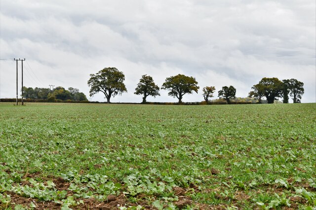
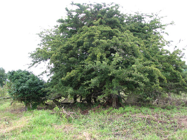
Ash Plantation is a picturesque woodland located in the county of Norfolk, England. Situated near the village of Ashwellthorpe, the plantation covers an area of approximately 50 hectares. Comprising mainly of ash trees, it is a stunning example of a natural forest ecosystem.
The trees in Ash Plantation are predominantly English ash (Fraxinus excelsior), known for their distinctive light gray bark and elegant, feathery leaves. The plantation also features a diverse range of other native tree species, including oak, beech, and birch, creating a rich and varied woodland environment.
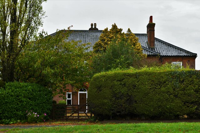
Visitors to Ash Plantation can explore the network of well-maintained footpaths that crisscross the woodland, allowing for leisurely walks or more challenging hikes. The plantation is a popular spot for nature enthusiasts, offering opportunities for birdwatching and observing a variety of wildlife such as deer, squirrels, and various woodland birds.
The management of Ash Plantation focuses on maintaining a healthy and sustainable forest ecosystem. Regular thinning of the trees ensures that the woodland remains diverse and allows for the growth of understory vegetation, providing habitat for a wide range of flora and fauna.
Ash Plantation also serves as an important carbon sink, contributing to the reduction of greenhouse gases in the atmosphere. The woodland's natural beauty and ecological significance make it an invaluable asset to the local community and a cherished destination for visitors seeking tranquility and a connection with nature.
If you have any feedback on the listing, please let us know in the comments section below.
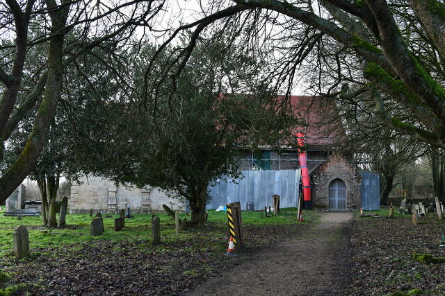
Ash Plantation Images
Images are sourced within 2km of 52.551399/1.1981921 or Grid Reference TM1699. Thanks to Geograph Open Source API. All images are credited.


Ash Plantation is located at Grid Ref: TM1699 (Lat: 52.551399, Lng: 1.1981921)
Administrative County: Norfolk
District: South Norfolk
Police Authority: Norfolk
What 3 Words
///grant.unsightly.darkens. Near Hethel, Norfolk
Nearby Locations
Related Wikis

Hethel
Hethel is a small village in Norfolk, England, approximately five miles (8.0 km) southeast of the market town of Wymondham, and approximately ten miles...
Hethel Old Thorn
Hethel Old Thorn is a 0.025-hectare (0.062-acre) nature reserve south-west of Norwich in Norfolk. It is managed by the Norfolk Wildlife Trust.This is...

Wreningham
Wreningham is a village and civil parish in the English county of Norfolk. It is situated some 3 miles (4.8 km) south east of Wymondham and 9 miles (14...

Bracon Ash
Bracon Ash is a village and civil parish in the South Norfolk district of Norfolk, England. == History == Bracon Ash's name is of Anglo-Saxon origin and...

Forehoe and Henstead Rural District
Forehoe and Henstead Rural Districts were adjacent rural districts in Norfolk, England from 1894 to 1935.They were formed under the Local Government Act...
Ashwellthorpe railway station
Ashwellthorpe was a railway station that existed in the village of Ashwellthorpe, Norfolk, on a cutoff line between Forncett and Wymondham. This entry...

RAF Hethel
Royal Air Force Hethel or more simply RAF Hethel is a former Royal Air Force station (ICAO: EGSK) which was used by both the United States Army Air Forces...

East Carleton
East Carleton is a village and civil parish in the English county of Norfolk. The village is located 6.3 kilometres (3.9 mi) east of nearby Wymondham and...
Nearby Amenities
Located within 500m of 52.551399,1.1981921Have you been to Ash Plantation?
Leave your review of Ash Plantation below (or comments, questions and feedback).