Linall's Belt

Wood, Forest in Norfolk South Norfolk

England

Linall's Belt

Richmond Road
Richmond Road Credit: Hugh Venables

Linall's Belt is a woodland area located in Norfolk, England. Covering an expansive area, the belt is popularly known for its lush greenery and dense forest. It is situated in close proximity to the village of Linall and is easily accessible to visitors.

The woodland is characterized by a mix of deciduous and coniferous trees, creating a diverse and vibrant ecosystem. Oak, beech, and ash trees dominate the landscape, providing a habitat for a wide array of flora and fauna. The forest floor is adorned with a carpet of wildflowers during the spring and summer months, adding to the natural beauty of the area.

Linall's Belt is a haven for nature enthusiasts and offers numerous opportunities for outdoor activities. The well-maintained trails and pathways make it ideal for hiking, walking, and cycling. Birdwatchers can spot a variety of species, including woodpeckers, owls, and various migratory birds.

The woodland is also home to a rich diversity of wildlife, including deer, foxes, and rabbits. It serves as an important habitat for many endangered and protected species, making it a site of conservation significance.

Visitors to Linall's Belt can enjoy picnicking in designated areas and immersing themselves in the peaceful surroundings. The tranquility of the forest provides a perfect escape from the bustling city life.

Overall, Linall's Belt in Norfolk is a picturesque woodland that offers a unique natural experience. Its abundant wildlife, diverse flora, and recreational opportunities make it a popular destination for nature lovers and outdoor enthusiasts alike.

If you have any feedback on the listing, please let us know in the comments section below.

Linall's Belt Images

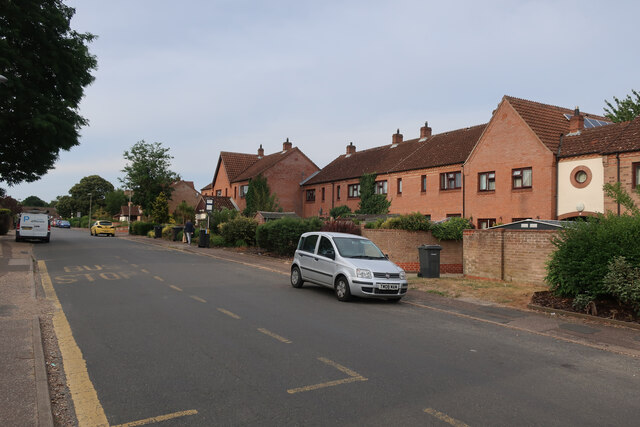
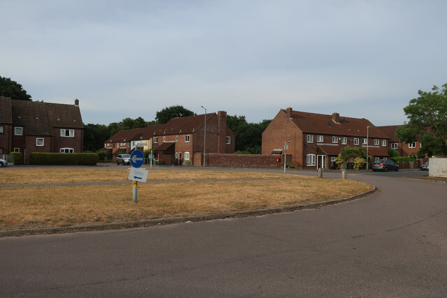
Images are sourced within 2km of 52.661219/1.1968172 or Grid Reference TG1611. Thanks to Geograph Open Source API. All images are credited.

Richmond Road
Richmond Road
Middleton Crescent
Middleton Crescent
Old Milestone by Dereham Road, near Royal Norfolk Showground Metal plate attached to stone post by the UC road, in parish of COSTESSEY (SOUTH NORFOLK District), Dereham Road, 70yds West of Costessey Lodge entrance, rear of grass verge against wooden fence, on North side of road. Dereham iron plate, erected by the Norwich & Swaffham turnpike trust in the 19th century. An earlier photograph can be found here <a title="https://www.geograph.org.uk/photo/6037516" href="https://www.geograph.org.uk/photo/6037516">Link</a>.

Inscription reads:-
NORWICH
5
DEREHAM
11 
Carved benchmark on lower right side. 

Milestone Society National ID: NO_NSM05.
Old Milestone by Dereham Road, near Royal Norfolk Showground
Metal plate attached to stone post by the UC road, in parish of COSTESSEY (SOUTH NORFOLK District), Dereham Road, 70yds West of Costessey Lodge entrance, rear of grass verge against wooden fence, on North side of road. Dereham iron plate, erected by the Norwich & Swaffham turnpike trust in the 19th century. An earlier photograph can be found here Link. Inscription reads:- NORWICH 5 DEREHAM 11 Carved benchmark on lower right side. Milestone Society National ID: NO_NSM05.
Sainsbury's, Norwich The Longwater branch that's so big, it could almost be a hypermarket.
Sainsbury's, Norwich
The Longwater branch that's so big, it could almost be a hypermarket.
St Edmund, Costessey
St Edmund, Costessey - East end
St Edmund, Costessey - Font
St Edmund, Costessey - East end
St Edmund, Costessey - Pulpit
St Edmund, Costessey - Wall monument
St Edmund, Costessey - Ledger slab
St Edmund, Costessey - Incumbent board
St Edmund, Costessey - War Memorial
St Edmund, Costessey
Show me another place!

Linall's Belt is located at Grid Ref: TG1611 (Lat: 52.661219, Lng: 1.1968172)

Administrative County: Norfolk

District: South Norfolk

Police Authority: Norfolk

What 3 Words

///slide.frogs.soonest. Near Costessey, Norfolk

Related Wikis

Costessey Hall

Costessey Hall (pronounced and sometimes spelt Cossey Hall, also written as Cotesby Hall) was a manor house in Costessey, Norfolk, England, four miles...

Costessey

Costessey ( KOSS-ee) is a town and civil parish in the South Norfolk district of Norfolk, England, and is 4 miles (6.4 km) north west of Norwich. The...

Ormiston Victory Academy

Ormiston Victory Academy (formerly Costessey High School) is a secondary school and sixth form located in Costessey, Norfolk, England. The academy has...

Taverham

Taverham is a village and civil parish in Norfolk, in England. It is approximately 5 miles (8 km) north-west of Norwich. Taverham sits on the River Wensum...

Nearby Amenities

Located within 500m of 52.661219,1.1968172
Traffic Calming: hump
Lat/Long: 52.6621367/1.1979793
Traffic Calming: cushion
Lat/Long: 52.6589477/1.2026155
Traffic Calming: hump
Lat/Long: 52.6611191/1.1988555
Traffic Calming: hump
Lat/Long: 52.6606578/1.1993459
Traffic Calming: hump
Lat/Long: 52.6616773/1.1983662
Traffic Calming: hump
Lat/Long: 52.6631154/1.1974552
Traffic Calming: hump
Lat/Long: 52.6636526/1.1972336
Traffic Calming: cushion
Lat/Long: 52.6649807/1.1967463
Post Box
Collection Times: Mo-Fr 09:00; Sa 07:00
Operator: Royal Mail
Post Box Type: wall
Ref: NR8 801D
Lat/Long: 52.6591202/1.2022689
Traffic Calming: bump
Lat/Long: 52.658375/1.197755
Traffic Calming: bump
Lat/Long: 52.658424/1.199191
Traffic Calming: bump
Lat/Long: 52.658475/1.199991
Traffic Calming: hump
Lat/Long: 52.6642913/1.1969813
Traffic Calming: hump
Lat/Long: 52.6616675/1.1948603
Traffic Calming: hump
Lat/Long: 52.6617779/1.195308
Traffic Calming: hump
Lat/Long: 52.6619323/1.1947351
Traffic Calming: bump
Lat/Long: 52.6615752/1.1955396
Traffic Calming: hump;chicane
Lat/Long: 52.6655455/1.1964655
Entrance: main
Lat/Long: 52.6582097/1.1971798
Waste Basket
Waste Basket: dog_feces
Lat/Long: 52.6652114/1.1967342
Entrance: yes
Lat/Long: 52.6581166/1.1971523
Entrance: yes
Lat/Long: 52.658225/1.1967651
Bench
Backrest: yes
Colour: brown
Material: wood
Lat/Long: 52.6584018/1.1964176
Barrier: kissing_gate
Lat/Long: 52.6612846/1.1945504
Golf: pin
Ref: 7
Lat/Long: 52.6578155/1.1922207
Golf: pin
Ref: 8
Lat/Long: 52.6582172/1.1955029
Golf: pin
Ref: 9
Lat/Long: 52.6570842/1.1950336
Golf: pin
Ref: 16
Lat/Long: 52.6579021/1.1994368
Golf: pin
Ref: 18
Lat/Long: 52.6578783/1.1966257
Generator Method: photovoltaic
Generator Output Electricity: yes
Generator Solar Modules: 12
Generator Source: solar
Generator Type: solar_photovoltaic_panel
Location: roof
Power: generator
Lat/Long: 52.6601782/1.1993749
Barrier: bollard
Bollard: fixed
Material: concrete
Lat/Long: 52.6600458/1.1988957
Give Way
Lat/Long: 52.6591375/1.2019971
Speed Camera
Direction: 130
Maxspeed: 20 mph
Lat/Long: 52.6605703/1.1993343
Speed Display
Direction: SSE
Maxspeed: 20 mph
Lat/Long: 52.6611116/1.1987932
Speed Camera
Direction: 292
Maxspeed: 20 mph
Lat/Long: 52.6590036/1.2025946
Give Way
Lat/Long: 52.6588471/1.2017084
The data included in this document is from www.openstreetmap.org. The data is made available under ODbL.

Have you been to Linall's Belt?

Leave your review of Linall's Belt below (or comments, questions and feedback).