Anguish Hill

Hill, Mountain in Norfolk North Norfolk

England

Anguish Hill

Disused church at North Barningham
Disused church at North Barningham Credit: Raymond Knapman

Anguish Hill is a prominent geographic feature located in the county of Norfolk, England. Despite its name, it is not a hill or a mountain in the traditional sense, but rather a gentle rise in the landscape that offers panoramic views of the surrounding area. Situated near the village of South Creake, Anguish Hill is a popular destination for hikers and nature enthusiasts.

The hill is characterized by its rolling green slopes and is primarily covered in grass and scattered trees. Its elevation is modest, standing at approximately 50 meters above sea level, but it still provides stunning vistas of the Norfolk countryside. On a clear day, visitors can see for miles, taking in the picturesque villages, farmland, and winding rivers that make up the region.

The name "Anguish Hill" is believed to have originated from a historical event or local legend. However, the exact origins and meaning of the name remain unclear. Some speculate that it may have derived from a tragic incident or a personal connection to someone named Anguish.

Aside from its natural beauty, Anguish Hill is also home to a diverse range of wildlife. The area supports various bird species, including skylarks and kestrels, making it a popular spot for birdwatching. Small mammals such as rabbits and foxes can also be found here, adding to the biodiversity of the region.

Overall, Anguish Hill offers visitors a serene escape from the hustle and bustle of daily life, providing a tranquil setting to appreciate the stunning Norfolk landscape.

If you have any feedback on the listing, please let us know in the comments section below.
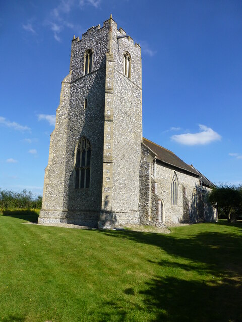
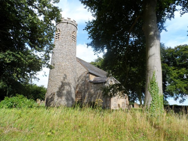
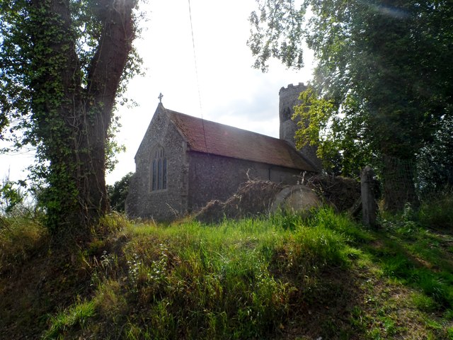
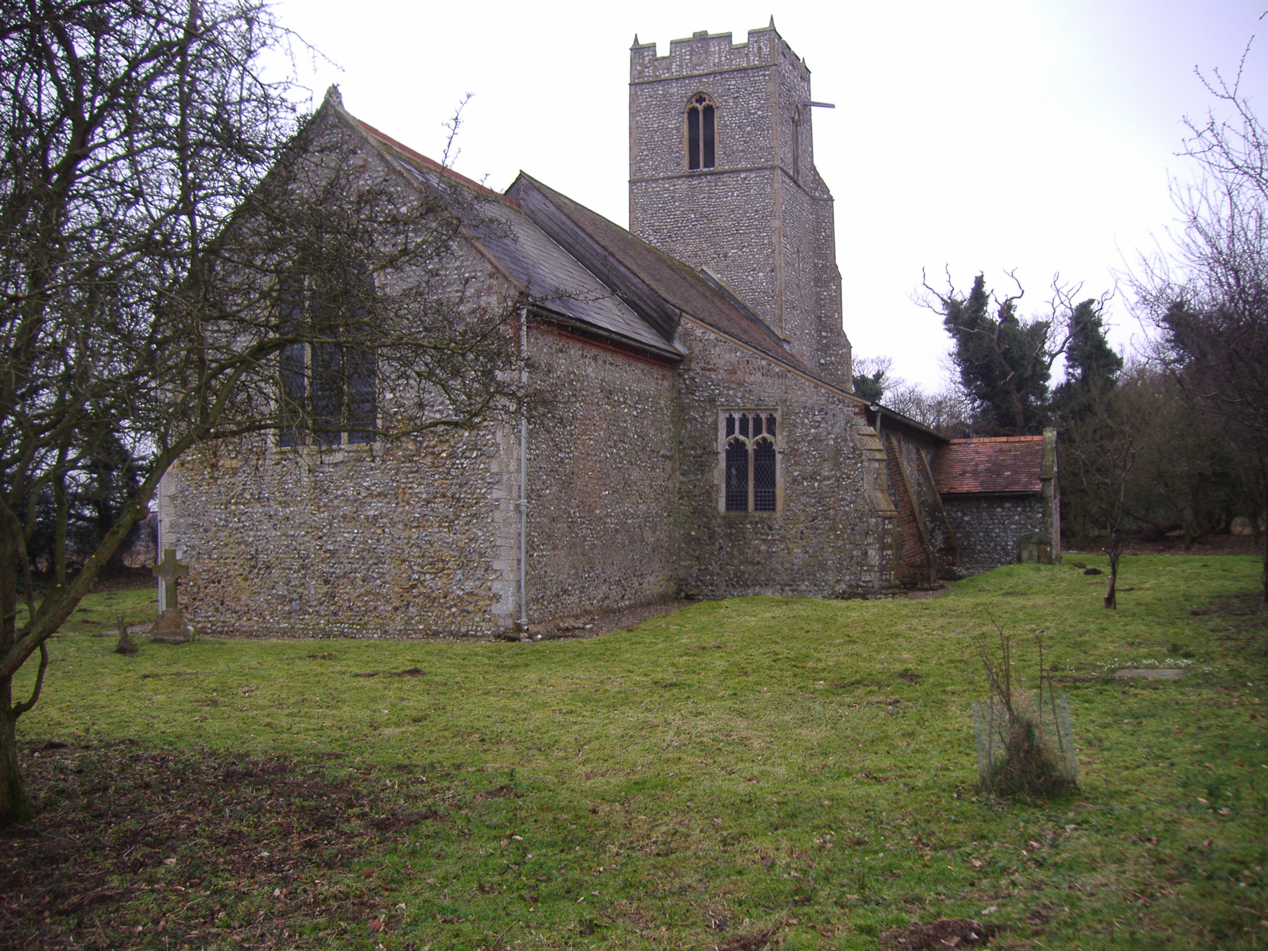
Anguish Hill Images

Images are sourced within 2km of 52.903171/1.2125759 or Grid Reference TG1638. Thanks to Geograph Open Source API. All images are credited.

Disused church at North Barningham
All Saints' church, Gresham See <span class="nowrap"><a title="http://www.norfolkchurches.co.uk/gresham/gresham.htm" rel="nofollow ugc noopener" href="http://www.norfolkchurches.co.uk/gresham/gresham.htm">Link</a><img style="margin-left:2px;" alt="External link" title="External link - shift click to open in new window" src="https://s1.geograph.org.uk/img/external.png" width="10" height="10"/></span>.
All Saints' church, Gresham
See LinkExternal link.
St Mary's church, Bessingham According to <span class="nowrap"><a title="http://www.norfolkchurches.co.uk/bessingham/bessingham.htm" rel="nofollow ugc noopener" href="http://www.norfolkchurches.co.uk/bessingham/bessingham.htm">Link</a><img style="margin-left:2px;" alt="External link" title="External link - shift click to open in new window" src="https://s1.geograph.org.uk/img/external.png" width="10" height="10"/></span> , the tower is anglo-saxon but the body of the church was rebuilt in the 1870's.
St Mary's church, Bessingham
According to LinkExternal link , the tower is anglo-saxon but the body of the church was rebuilt in the 1870's.
Aylmerton Cross Restored ancient cross situated one mile south of the village of Aylmerton at a crossroads (3 roads and a track).
Aylmerton Cross
Restored ancient cross situated one mile south of the village of Aylmerton at a crossroads (3 roads and a track).
RAF West Beckham radar station (A Site) Entrance into the transmitter block. This structure currently forms part of a farm and was accessed by kind permisison of the owner.
RAF West Beckham radar station (A Site)
Entrance into the transmitter block. This structure currently forms part of a farm and was accessed by kind permisison of the owner.
RAF West Beckham radar station (A Site) Interior of the transmitter block > <a title="https://www.geograph.org.uk/photo/3962674" href="https://www.geograph.org.uk/photo/3962674">Link</a>.
RAF West Beckham radar station (A Site)
Interior of the transmitter block > Link.
RAF West Beckham radar station (A Site) Old bricks which were used to cover electric cables on the site.
RAF West Beckham radar station (A Site)
Old bricks which were used to cover electric cables on the site.
Aylmerton Stone Cross before restoration
Pillar piscina in St Peter's Church At the end of the aisle of St Peter's in North Barningham (or Barningham Northwood) is this unusual form of piscina.  To quote from the church guide by Derek A. Palgrave: "It is positioned so as to be convenient for a side altar, suggesting that in the 15th century the north aisle was probably in use as a Lady or Guild Chapel.  The presence of the two elevated stone brackets north and south of the site of this altar, which may well have been used for statues, adds weight to this view."
Pillar piscina in St Peter's Church
At the end of the aisle of St Peter's in North Barningham (or Barningham Northwood) is this unusual form of piscina. To quote from the church guide by Derek A. Palgrave: "It is positioned so as to be convenient for a side altar, suggesting that in the 15th century the north aisle was probably in use as a Lady or Guild Chapel. The presence of the two elevated stone brackets north and south of the site of this altar, which may well have been used for statues, adds weight to this view."
St Peter as an angel The current dedication of the church at North Barningham (or Barningham Northwood) is simply to St Peter, but the earlier dedication was jointly to SS Peter & Paul.  Both saints are symbolised in the shields borne by the wooden angels above the chancel step.  Here, on the north side, St Peter is identified by his crossed keys.
St Peter as an angel
The current dedication of the church at North Barningham (or Barningham Northwood) is simply to St Peter, but the earlier dedication was jointly to SS Peter & Paul. Both saints are symbolised in the shields borne by the wooden angels above the chancel step. Here, on the north side, St Peter is identified by his crossed keys.
Poppyhead pews Medieval pews in the south aisle of St Peter's Church at North Barningham.  In the background can be seen the church's unusual Canadian harmonium <a title="www.geograph.org.uk/photo/1544182" href="https://www.geograph.org.uk/photo/1544182">Link</a> .
Poppyhead pews
Medieval pews in the south aisle of St Peter's Church at North Barningham. In the background can be seen the church's unusual Canadian harmonium Link .
West tower of St Peter's Church, North Barningham The three-storey tower was one of the last parts of the church to be completed, in the late 15th century.  Originally it contained two bells, but one was thrown out in 1669 after being cracked and the remaining bell was transferred to Bawdeswell to replace a bell destroyed in an air raid.
West tower of St Peter's Church, North Barningham
The three-storey tower was one of the last parts of the church to be completed, in the late 15th century. Originally it contained two bells, but one was thrown out in 1669 after being cracked and the remaining bell was transferred to Bawdeswell to replace a bell destroyed in an air raid.
Aylmerton Cross One mile south of the village on Church Road, at a small junction of the Lower Gresham to Metton road, is this ancient cross which has been recently restored. Aylmerton cross is on the parish boundary with Gresham. It is said to have been one of a number of guides to Walsingham where pilgrims could rest and do whatever else pilgrims used to do on their journeys. This seems most unlikely as it is nowhere near to being on the route heading to Walsingham being 15 miles the east of the shrine and there being nothing resembling a direct route betwixt the two.
Aylmerton Cross
One mile south of the village on Church Road, at a small junction of the Lower Gresham to Metton road, is this ancient cross which has been recently restored. Aylmerton cross is on the parish boundary with Gresham. It is said to have been one of a number of guides to Walsingham where pilgrims could rest and do whatever else pilgrims used to do on their journeys. This seems most unlikely as it is nowhere near to being on the route heading to Walsingham being 15 miles the east of the shrine and there being nothing resembling a direct route betwixt the two.
Gresham village sign Village signs are typically placed along the principal road or in a prominent location such as a village green or close by the church. The design often depicts a particularly feature of the village or a scene from its history, heritage, or culture. They are typically made of wood or metal or a combination of both, the designs are often made by the local community.
Although they do appear in villages and towns all over the country they are more prominent in East Anglia than elsewhere in the country.
Gresham village sign
Village signs are typically placed along the principal road or in a prominent location such as a village green or close by the church. The design often depicts a particularly feature of the village or a scene from its history, heritage, or culture. They are typically made of wood or metal or a combination of both, the designs are often made by the local community. Although they do appear in villages and towns all over the country they are more prominent in East Anglia than elsewhere in the country.
Gresham village sign The grasshopper on top of the sign is an heraldic device used by the Gresham family. It is used by Gresham College, which was founded by Sir Thomas Gresham and can also be seen as the weathervane on the Royal Exchange in the City of London, which he also founded in 1565. The windmill, watermill and castle are also featured
Gresham village sign
The grasshopper on top of the sign is an heraldic device used by the Gresham family. It is used by Gresham College, which was founded by Sir Thomas Gresham and can also be seen as the weathervane on the Royal Exchange in the City of London, which he also founded in 1565. The windmill, watermill and castle are also featured
East and West Beckham War Memorial The Memorial bears nine names of the men lost in WW1. They are repeated on the Roll of Honour which stands outside the church and is in a very poor condition with the surface of the stone flaking badly. <a title="https://www.geograph.org.uk/photo/2113136" href="https://www.geograph.org.uk/photo/2113136">Link</a>
East and West Beckham War Memorial
The Memorial bears nine names of the men lost in WW1. They are repeated on the Roll of Honour which stands outside the church and is in a very poor condition with the surface of the stone flaking badly. Link
Bessingham War Memorial The memorial is to the two men lost in WW1.
There are no WW2 losses recorded.
Bessingham War Memorial
The memorial is to the two men lost in WW1. There are no WW2 losses recorded.
Show me another place!

Anguish Hill is located at Grid Ref: TG1638 (Lat: 52.903171, Lng: 1.2125759)

Administrative County: Norfolk

District: North Norfolk

Police Authority: Norfolk

What 3 Words

///classic.super.limitless. Near Sheringham, Norfolk

Related Wikis

Nearby Amenities

Located within 500m of 52.903171,1.2125759
Holt Road, W-bound
Naptan AtcoCode: 2900G102
Naptan Bearing: W
Naptan BusStopType: CUS
Naptan CommonName: Holt Road
Naptan Indicator: W-bound
Naptan Locality: Gresham
Naptan NaptanCode: nfoatawm
Naptan Street: Holt Road
Naptan Verified: no
Source: naptan_import
Lat/Long: 52.8995197/1.2120478
Holt Road, E-bound
Naptan AtcoCode: 2900G105
Naptan Bearing: E
Naptan BusStopType: CUS
Naptan CommonName: Holt Road
Naptan Indicator: E-bound
Naptan Landmark: bus shelter
Naptan Locality: Gresham
Naptan NaptanCode: nfoatdad
Naptan Street: Holt Road
Naptan Verified: no
Source: naptan_import
Lat/Long: 52.8993689/1.2134296
Turning Circle
Lat/Long: 52.8997553/1.2140535
Bench
Backrest: no
Material: wood
Seats: 3
Lat/Long: 52.9009424/1.2174721
Bench
Backrest: yes
Material: wood
Seats: 2
Lat/Long: 52.901054/1.2174775
Leisure: playground
Lat/Long: 52.9014132/1.2176948
Leisure: picnic_table
Lat/Long: 52.9015292/1.2180958
Bench
Backrest: no
Material: wood
Seats: 3
Lat/Long: 52.9015608/1.2181869
Bench
Backrest: no
Material: wood
Seats: 3
Lat/Long: 52.901579/1.2182245
Bench
Backrest: no
Material: wood
Seats: 3
Lat/Long: 52.901583/1.2181615
Bench
Backrest: no
Material: wood
Seats: 3
Lat/Long: 52.9015855/1.2181943
Bench
Backrest: yes
Material: wood
Seats: 3
Lat/Long: 52.8995135/1.2120958
Dog Waste Basket
Lat/Long: 52.9015092/1.2188027
The data included in this document is from www.openstreetmap.org. The data is made available under ODbL.

Have you been to Anguish Hill?

Leave your review of Anguish Hill below (or comments, questions and feedback).