The Hangs
Hill, Mountain in Norfolk North Norfolk
England
The Hangs
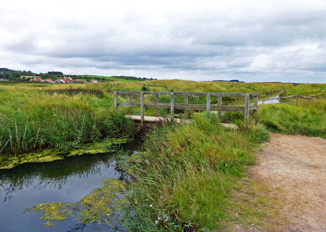
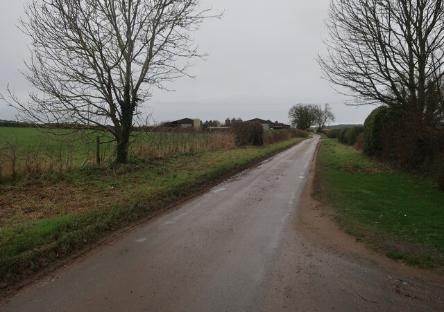
The Hangs is a prominent hill located in Norfolk, England. Situated near the village of Norfolk, it is part of the Norfolk Coast Area of Outstanding Natural Beauty. The hill is characterized by its distinctive steep slopes and rugged terrain, which make it a popular destination for hikers and nature enthusiasts.
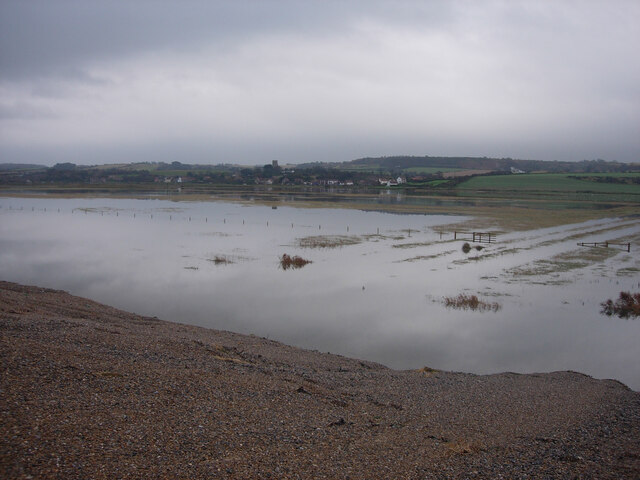
The Hangs rises to an elevation of approximately 100 meters above sea level, offering breathtaking panoramic views of the surrounding countryside and the North Sea. Its strategic location provides visitors with a unique vantage point to observe the diverse wildlife and bird species that inhabit the area.
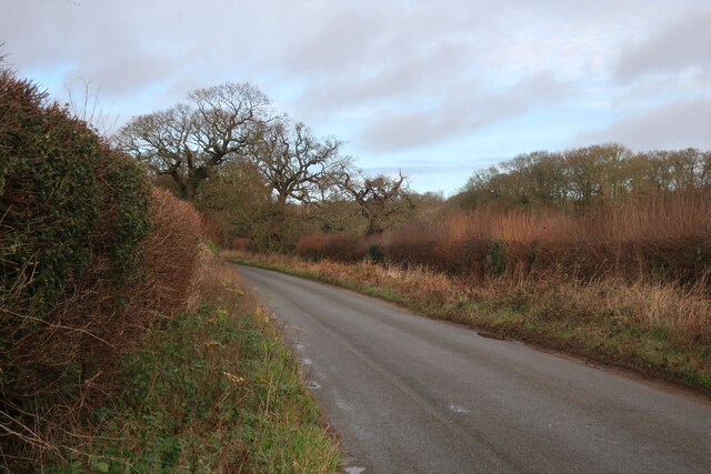
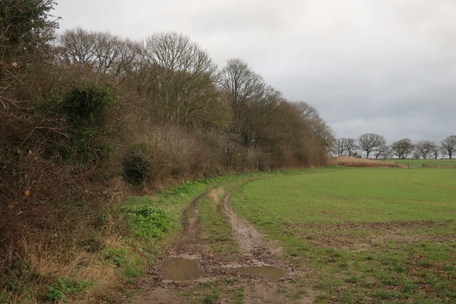
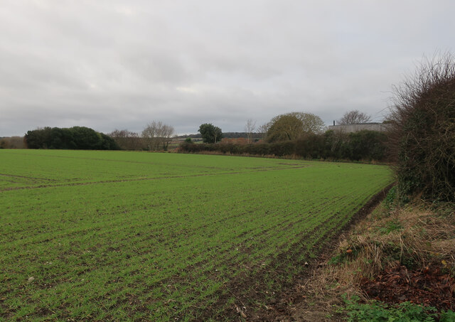
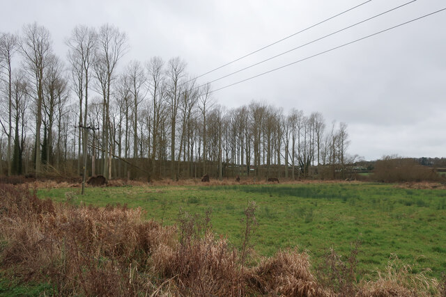
This natural landmark is covered by a mixture of grassland, heath, and woodland, creating a diverse ecosystem that supports a variety of plant and animal life. The hill is also home to several rare and protected species, including the Norfolk Hawker dragonfly and the Dartford Warbler.
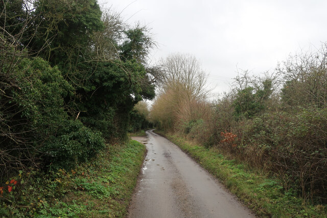
Access to The Hangs is facilitated by a network of footpaths and trails that wind their way up the hill, allowing visitors to explore its natural beauty at their own pace. The area is well-maintained and offers excellent opportunities for picnicking, photography, and wildlife spotting.
Overall, The Hangs in Norfolk, England, is a remarkable hill that showcases the natural beauty and biodiversity of the region. Its stunning views, diverse flora and fauna, and accessible walking routes make it a must-visit destination for nature lovers and outdoor enthusiasts.
If you have any feedback on the listing, please let us know in the comments section below.
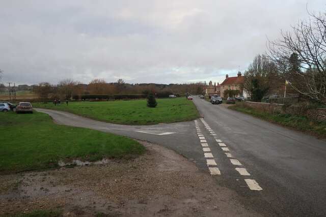
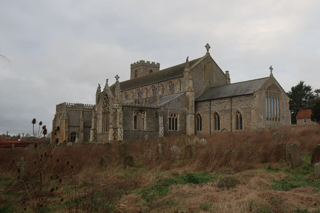
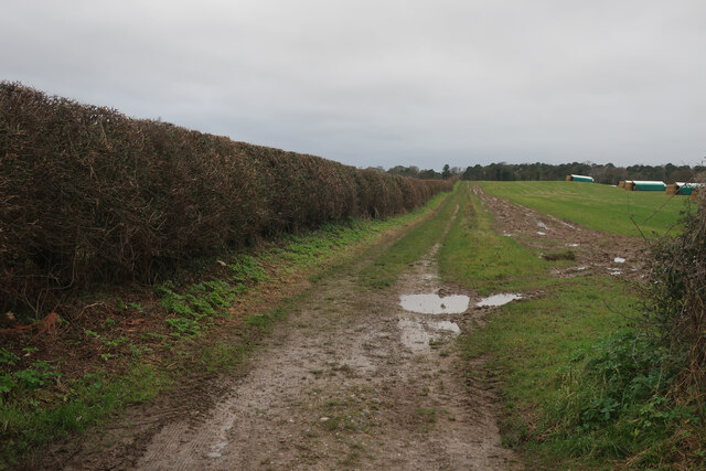
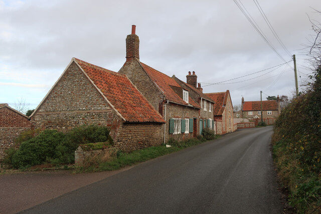
The Hangs Images
Images are sourced within 2km of 52.94178/1.0704431 or Grid Reference TG0642. Thanks to Geograph Open Source API. All images are credited.
The Hangs is located at Grid Ref: TG0642 (Lat: 52.94178, Lng: 1.0704431)
Administrative County: Norfolk
District: North Norfolk
Police Authority: Norfolk
What 3 Words
///provoking.skipped.coins. Near Sheringham, Norfolk
Nearby Locations
Related Wikis

Glandford (Hurdle Lane)
Glandford (Hurdle Lane) is a 9.4-hectare (23-acre) geological Site of Special Scientific Interest west of Sheringham in Norfolk. It is a Geological Conservation...
Salthouse
Salthouse is a village and a civil parish in the English county of Norfolk. It is situated on the salt marshes of North Norfolk. It is 3.8 miles (6.1 km...
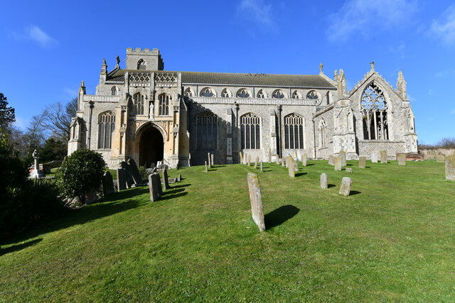
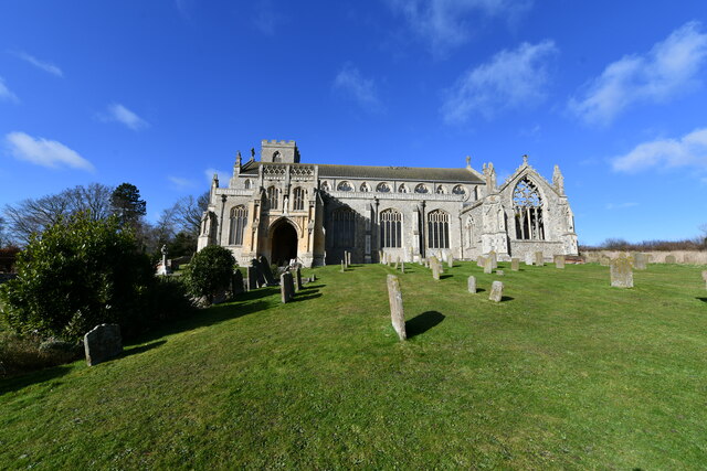
St Margaret's, Cley
St Margaret's is the Anglican parish church of Cley next the Sea, Norfolk, in the deanery of Holt, the Archdeaconry of Lynn and the Diocese of Norwich...

Salthouse Marshes
Salthouse Marshes is a 66-hectare (160-acre) nature reserve west of Sheringham in Norfolk. It is managed by the Norfolk Wildlife Trust. It is part of...
Airship N.S.11 crash
The Airship NS11 crash was an airship accident which occurred on 15 July 1919. The Royal Air Force (RAF) airship exploded off the east coast of England...

Wiveton
Wiveton is a village and civil parish in the English county of Norfolk. It is situated on the west bank of the River Glaven, 3 km (1.9 mi) inland from...

Cley Marshes
Cley Marshes is a 176-hectare (430-acre) nature reserve on the North Sea coast of England just outside the village of Cley next the Sea, Norfolk. A reserve...

Cley Hall
Cley Hall, in Cley next the Sea, Norfolk, is a Grade II listed house in Norfolk. == References == == External links == http://www.mcnamarallp.co.uk/projects/cley...
Nearby Amenities
Located within 500m of 52.94178,1.0704431Have you been to The Hangs?
Leave your review of The Hangs below (or comments, questions and feedback).