Taylors Wood
Wood, Forest in Norfolk North Norfolk
England
Taylors Wood
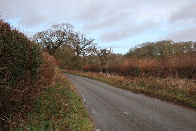
Taylors Wood is a picturesque woodland located in the county of Norfolk, England. Situated near the village of Taylors, this woodland is a popular destination for nature enthusiasts and outdoor adventurers.
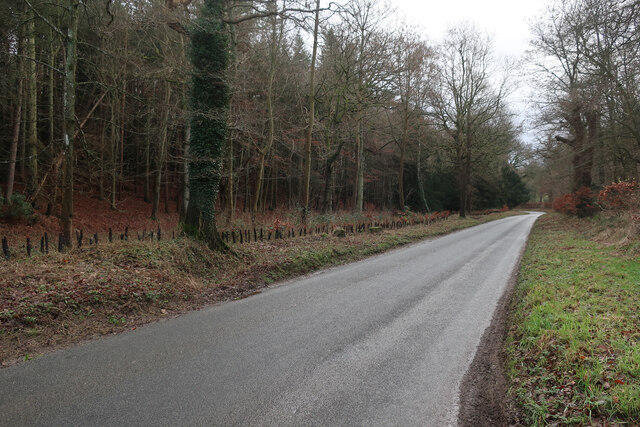
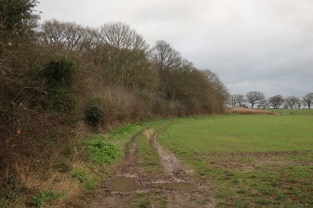
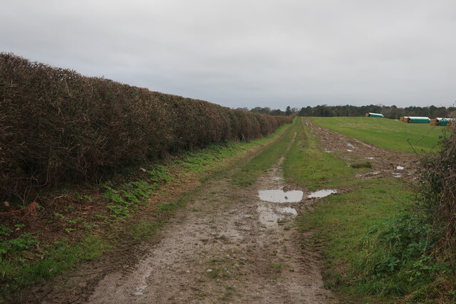
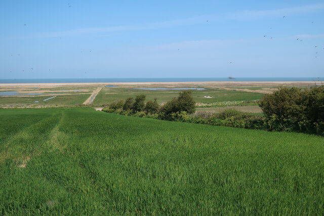
Covering an area of approximately 100 acres, Taylors Wood is characterized by its diverse range of flora and fauna. The wood is predominantly composed of broadleaf trees such as oak, beech, and birch, creating a rich and vibrant canopy. These trees provide a habitat for various bird species including woodpeckers, owls, and thrushes, making it a haven for birdwatchers.
The forest floor is covered with a carpet of wildflowers and ferns, adding to the beauty and biodiversity of the woodland. Visitors can expect to find bluebells, primroses, and foxgloves during the spring and summer months, creating a stunning display of colors.
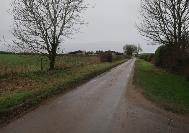
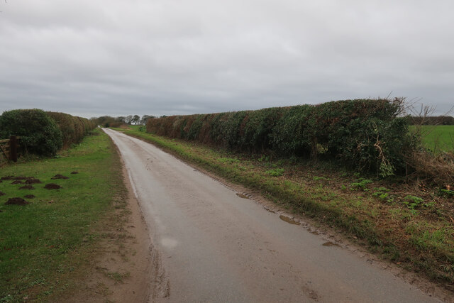
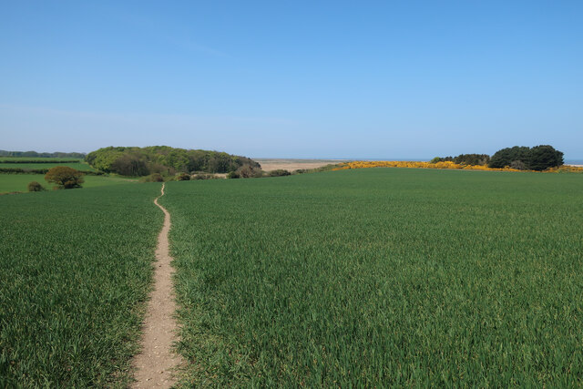
Taylors Wood offers a network of well-maintained footpaths and trails, allowing visitors to explore the woodland at their own pace. The paths are suitable for walkers of all ages and abilities, making it an ideal destination for families and individuals seeking a peaceful and tranquil escape from the hustle and bustle of everyday life.
In addition to its natural beauty, Taylors Wood also holds historical significance. The wood is believed to have been in existence for several centuries and has witnessed various human activities throughout its history. Archaeological evidence suggests that the area was once used for charcoal production and timber extraction.
Overall, Taylors Wood in Norfolk is a captivating woodland that offers a perfect blend of natural beauty, wildlife, and historical significance. It is a place where visitors can immerse themselves in nature, enjoy peaceful walks, and appreciate the wonders of the natural world.
If you have any feedback on the listing, please let us know in the comments section below.
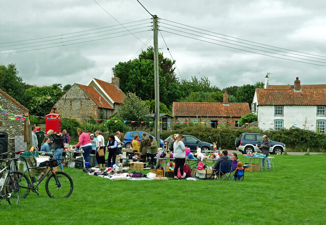
Taylors Wood Images
Images are sourced within 2km of 52.936226/1.0768965 or Grid Reference TG0642. Thanks to Geograph Open Source API. All images are credited.


Taylors Wood is located at Grid Ref: TG0642 (Lat: 52.936226, Lng: 1.0768965)
Administrative County: Norfolk
District: North Norfolk
Police Authority: Norfolk
What 3 Words
///botanists.shadowing.gambles. Near Sheringham, Norfolk
Nearby Locations
Related Wikis

Glandford (Hurdle Lane)
Glandford (Hurdle Lane) is a 9.4-hectare (23-acre) geological Site of Special Scientific Interest west of Sheringham in Norfolk. It is a Geological Conservation...
Salthouse
Salthouse is a village and a civil parish in the English county of Norfolk. It is situated on the salt marshes of North Norfolk. It is 3.8 miles (6.1 km...
Kelling Hall
Kelling Hall is a Grade II* listed building situated in the civil parish of Kelling in the English county of Norfolk. It is 0.7 miles from the parish of...

Salthouse Marshes
Salthouse Marshes is a 66-hectare (160-acre) nature reserve west of Sheringham in Norfolk. It is managed by the Norfolk Wildlife Trust. It is part of...
Kelling
Kelling (also known as Low Kelling and as Lower Kelling) is a village and a civil parish in the English county of Norfolk. The village is 10.1 miles...
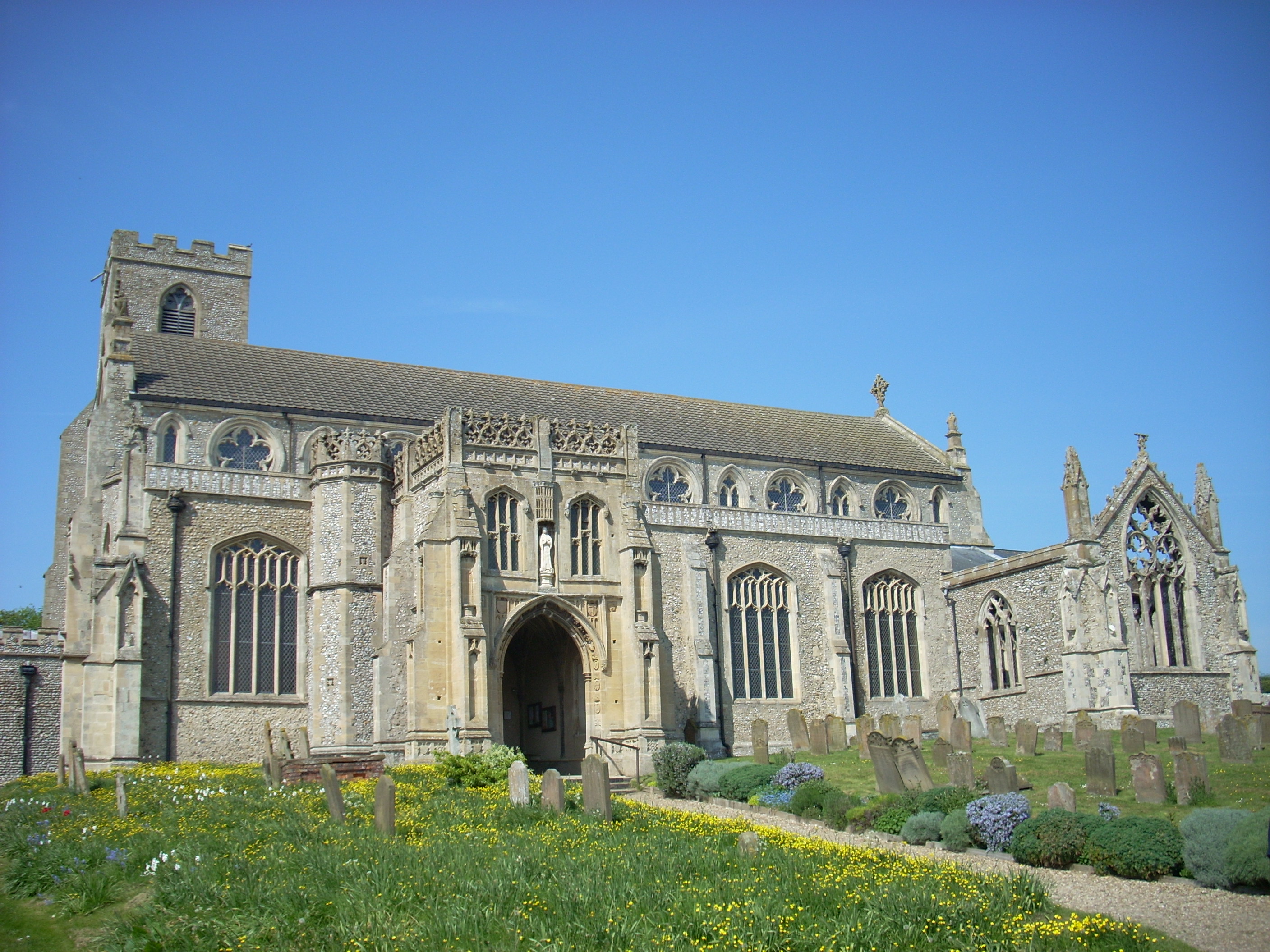
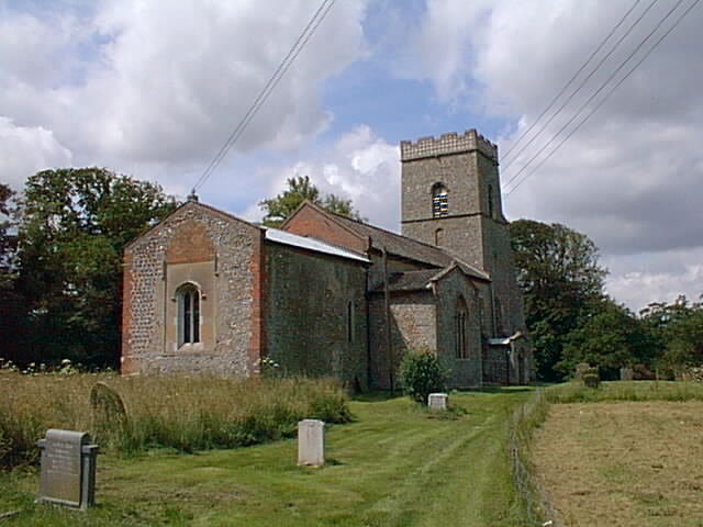
St Margaret's, Cley
St Margaret's is the Anglican parish church of Cley next the Sea, Norfolk, in the deanery of Holt, the Archdeaconry of Lynn and the Diocese of Norwich...
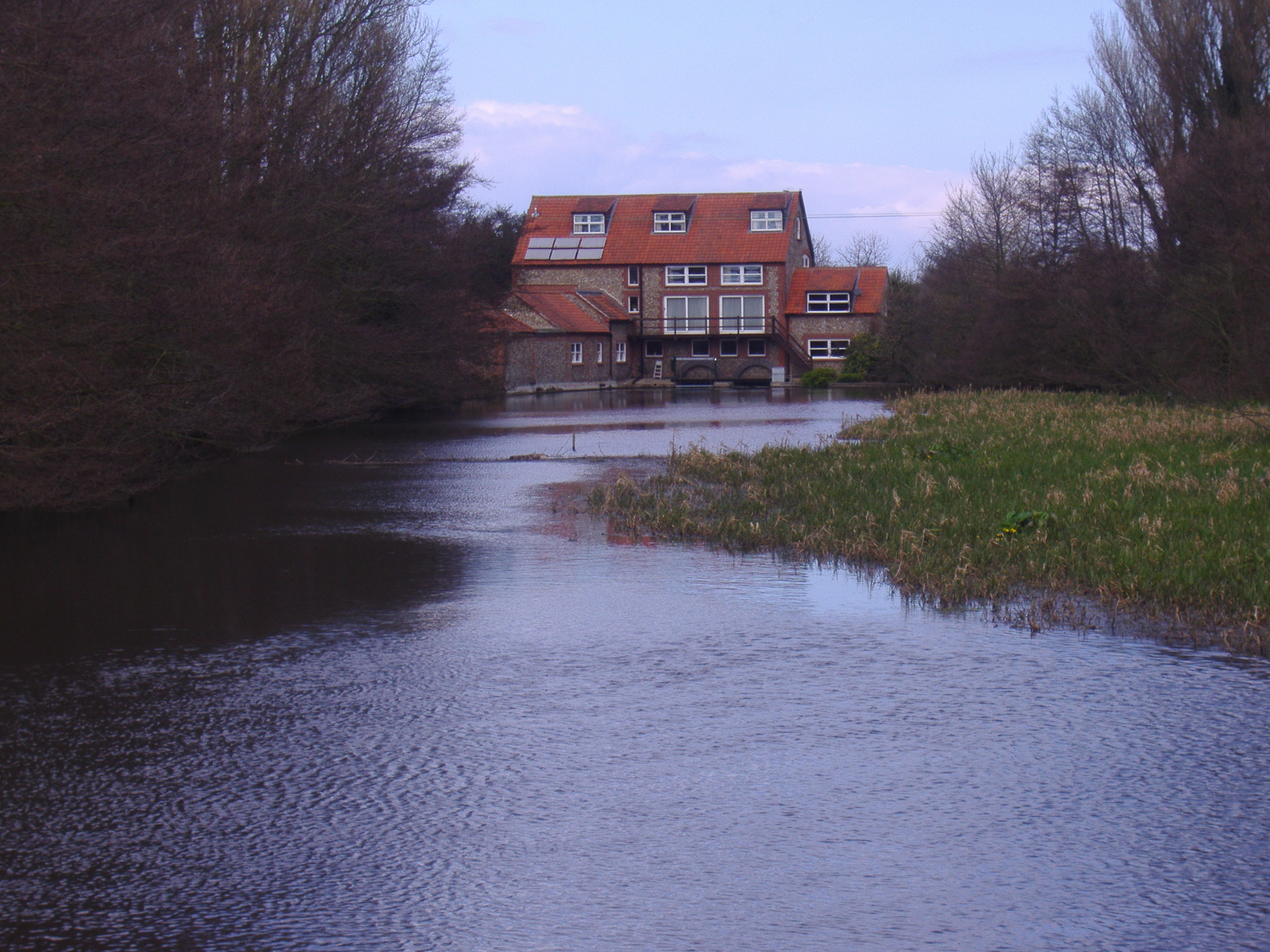
Glandford Watermill
Glandford watermill is situated on the River Glaven a little north of the village of Glandford within the English county of Norfolk. Glandford is in the...

The Shell Museum
The Shell Museum in Glandford, Norfolk is the oldest museum in the county and holds one of the country's largest collections of sea shells. It was founded...
Nearby Amenities
Located within 500m of 52.936226,1.0768965Have you been to Taylors Wood?
Leave your review of Taylors Wood below (or comments, questions and feedback).