Potato Hill
Hill, Mountain in Norfolk North Norfolk
England
Potato Hill
Potato Hill is a prominent geographical feature located in the county of Norfolk, England. Despite its name, it is not a hill or a mountain in the traditional sense, but rather a small, low-lying elevation that stands out within the predominantly flat landscape of the region.
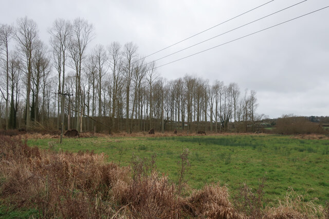
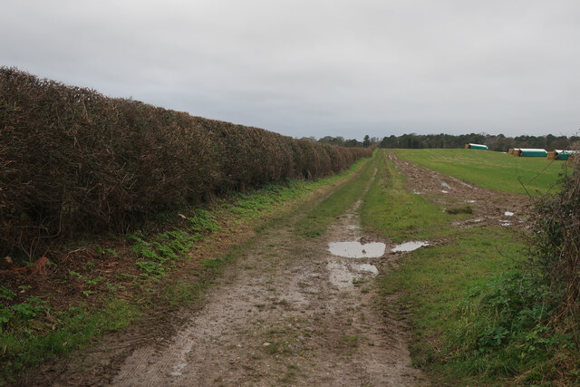
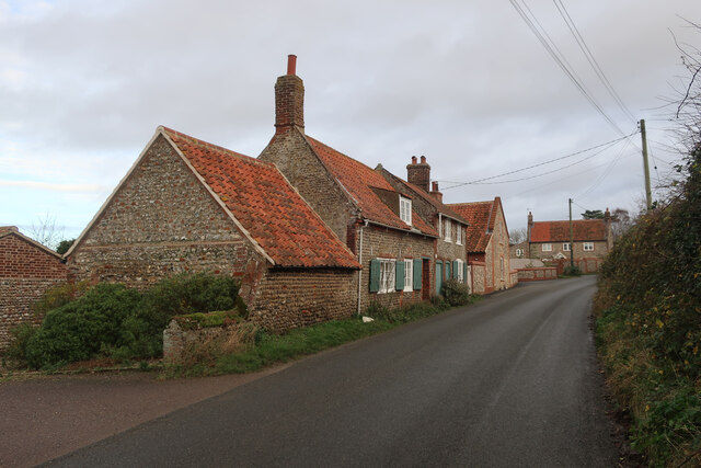
Situated near the village of East Lexham, Potato Hill is known for its distinctive shape and lush greenery. It rises to a modest height of around 30 meters (98 feet) above sea level, making it an easily recognizable landmark in the area. The hill is covered in a variety of vegetation, including grass, shrubs, and trees, creating a picturesque scene throughout the year.
Potato Hill is a popular destination for outdoor enthusiasts and nature lovers. Its gentle slopes and well-maintained paths make it a perfect spot for leisurely walks and hikes, offering panoramic views of the surrounding countryside. The hill's location also makes it an ideal place for picnics and family outings, attracting visitors from both the local community and beyond.
The origin of the name "Potato Hill" remains uncertain, with various theories proposed over the years. Some believe that the name may have derived from historical potato farming in the area, while others suggest that it could stem from a local legend or folklore.
Overall, Potato Hill is a unique and picturesque feature of the Norfolk landscape, offering a delightful escape into nature for those seeking tranquility and natural beauty.
If you have any feedback on the listing, please let us know in the comments section below.
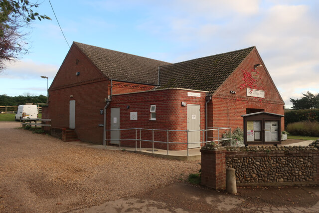
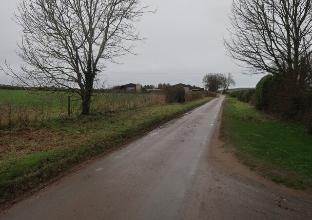
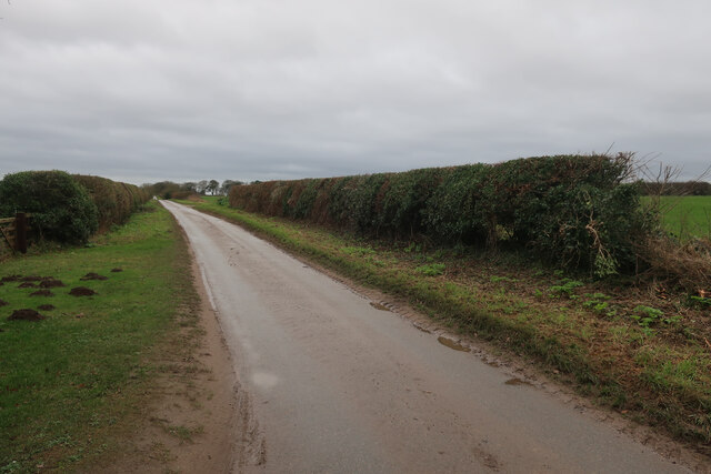
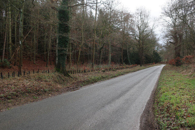
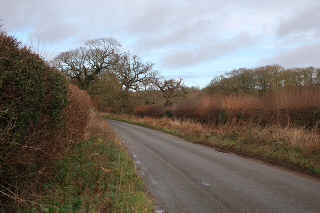
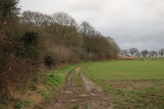
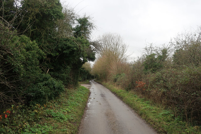
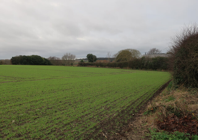
Potato Hill Images
Images are sourced within 2km of 52.938532/1.0663132 or Grid Reference TG0642. Thanks to Geograph Open Source API. All images are credited.

Potato Hill is located at Grid Ref: TG0642 (Lat: 52.938532, Lng: 1.0663132)
Administrative County: Norfolk
District: North Norfolk
Police Authority: Norfolk
What 3 Words
///gradually.sticking.editor. Near Briston, Norfolk
Nearby Locations
Related Wikis

Glandford (Hurdle Lane)
Glandford (Hurdle Lane) is a 9.4-hectare (23-acre) geological Site of Special Scientific Interest west of Sheringham in Norfolk. It is a Geological Conservation...
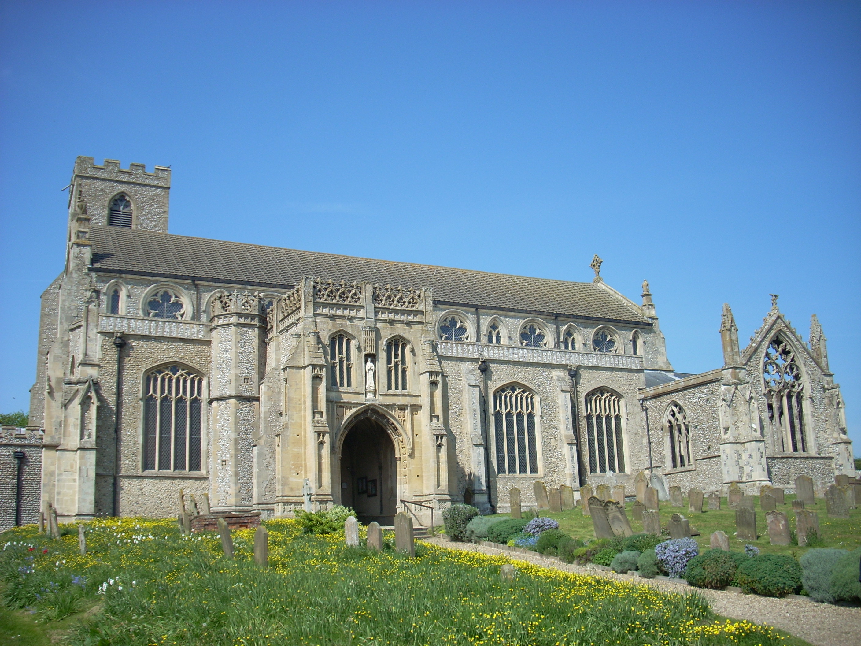
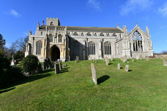
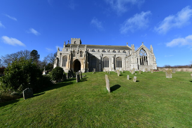
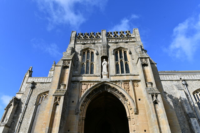
St Margaret's, Cley
St Margaret's is the Anglican parish church of Cley next the Sea, Norfolk, in the deanery of Holt, the Archdeaconry of Lynn and the Diocese of Norwich...
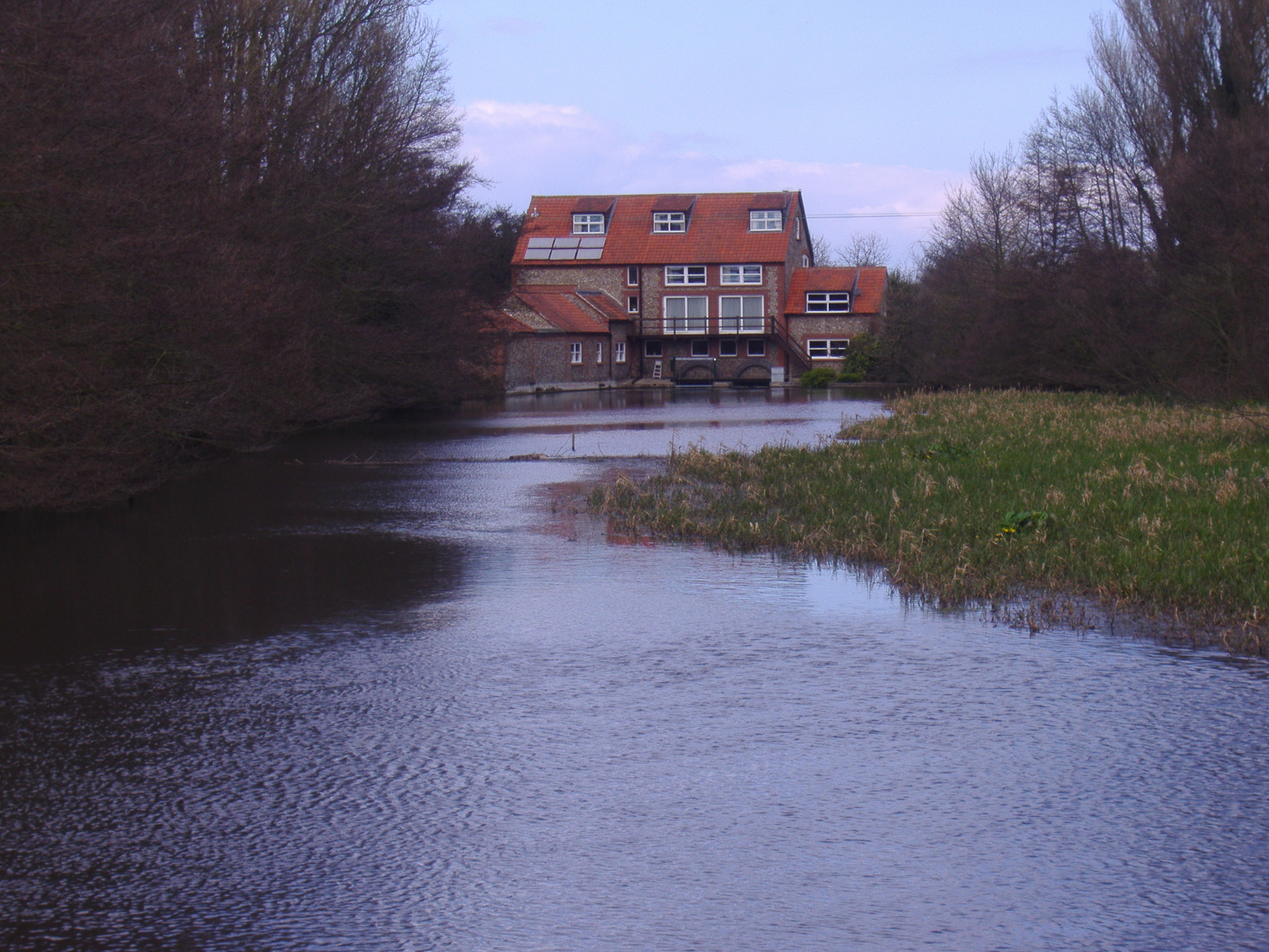
Glandford Watermill
Glandford watermill is situated on the River Glaven a little north of the village of Glandford within the English county of Norfolk. Glandford is in the...

Wiveton
Wiveton is a village and civil parish in the English county of Norfolk. It is situated on the west bank of the River Glaven, 3 km (1.9 mi) inland from...

The Shell Museum
The Shell Museum in Glandford, Norfolk is the oldest museum in the county and holds one of the country's largest collections of sea shells. It was founded...
Salthouse
Salthouse is a village and a civil parish in the English county of Norfolk. It is situated on the salt marshes of North Norfolk. It is 3.8 miles (6.1 km...

Airship N.S.11 crash
The Airship NS11 crash was an airship accident which occurred on 15 July 1919. The Royal Air Force (RAF) airship exploded off the east coast of England...

Cley Hall
Cley Hall, in Cley next the Sea, Norfolk, is a Grade II listed house in Norfolk. == References == == External links == http://www.mcnamarallp.co.uk/projects/cley...
Nearby Amenities
Located within 500m of 52.938532,1.0663132Have you been to Potato Hill?
Leave your review of Potato Hill below (or comments, questions and feedback).