Duke's Plantation
Wood, Forest in Norfolk South Norfolk
England
Duke's Plantation

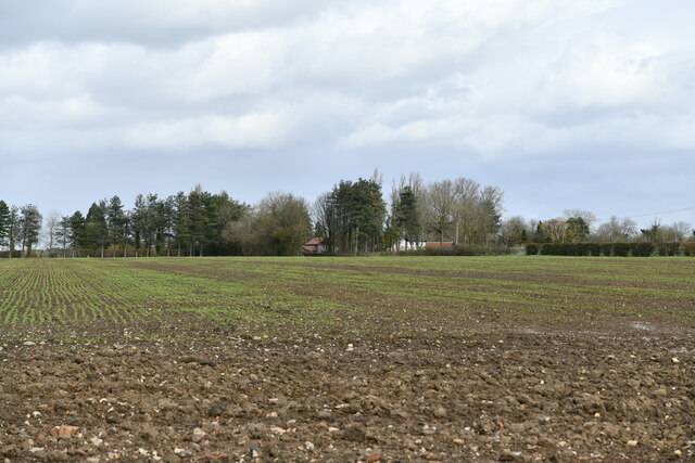
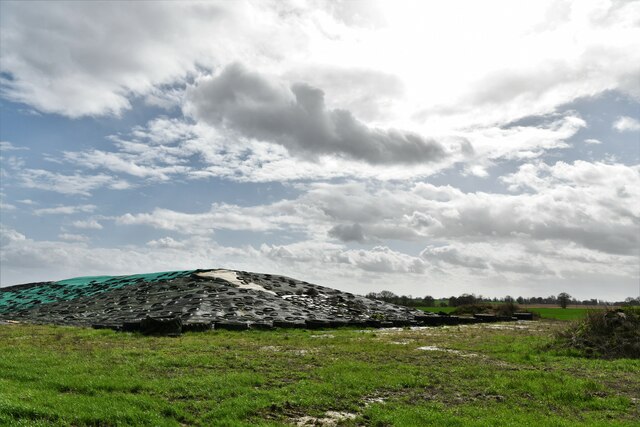
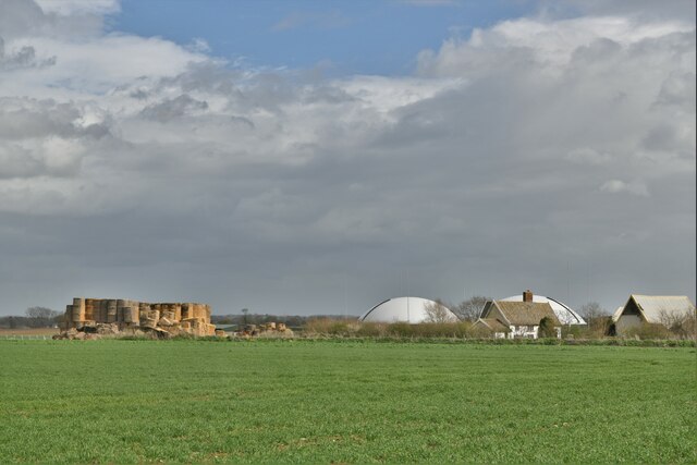
Duke's Plantation, also known as Norfolk Wood or Norfolk Forest, is a sprawling plantation located in Norfolk, England. Covering an extensive area of land, it is renowned for its picturesque beauty and rich historical significance. The plantation is nestled within the Norfolk Broads, a scenic region famous for its wetlands and diverse wildlife.
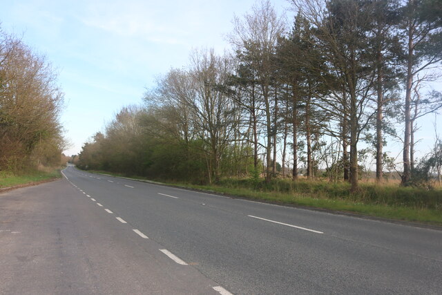
Duke's Plantation is a haven for nature enthusiasts and history buffs alike. The woodland is characterized by a variety of tree species, including oak, beech, and birch, which create an enchanting and peaceful atmosphere. The plantation offers an extensive network of walking trails that wind through the forest, providing visitors with an opportunity to explore its natural wonders and discover hidden gems along the way.
The historical importance of Duke's Plantation adds an extra layer of fascination to this enchanting destination. It is believed that the plantation has been in existence since the medieval period, serving as a hunting ground for noble families. Over the centuries, it has witnessed various transformations and been under the ownership of different aristocratic families.
Today, Duke's Plantation is managed by a local conservation organization, which aims to preserve its natural beauty and protect its diverse ecosystem. The plantation also hosts educational programs and guided tours to raise awareness about the importance of environmental conservation and the historical significance of the site.
In conclusion, Duke's Plantation, Norfolk Wood, or Norfolk Forest is a captivating destination that combines natural beauty with a rich historical background. With its lush woodland and intriguing heritage, it offers visitors an immersive and unforgettable experience.
If you have any feedback on the listing, please let us know in the comments section below.
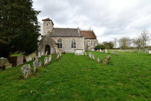
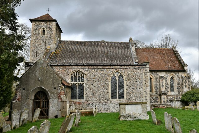
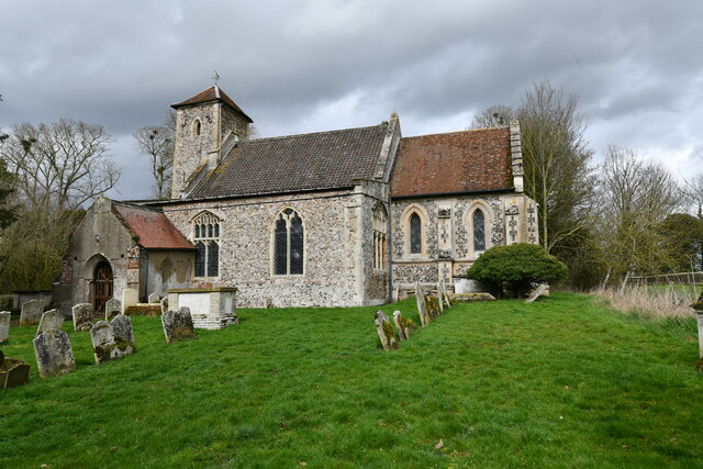
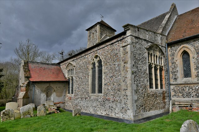
Duke's Plantation Images
Images are sourced within 2km of 52.399912/1.0394529 or Grid Reference TM0682. Thanks to Geograph Open Source API. All images are credited.


Duke's Plantation is located at Grid Ref: TM0682 (Lat: 52.399912, Lng: 1.0394529)
Administrative County: Norfolk
District: South Norfolk
Police Authority: Norfolk
What 3 Words
///pound.narrating.viewer. Near Diss, Norfolk
Nearby Locations
Related Wikis

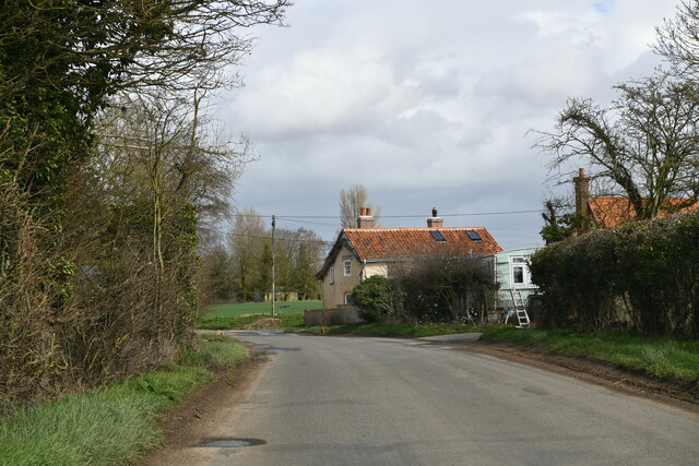
Fersfield
Fersfield is a village and former civil parish, now in the parish of Bressingham, in the South Norfolk district, in the county of Norfolk, England. The...

Boyland Common
Boyland Common is a place in the English county of Norfolk. It lies on the border of Fersfield and Shelfanger parishes. It consists of a few scattered...

Bressingham
Bressingham is a village and civil parish in the English county of Norfolk. It covers an area of 15.77 km2 (6.09 sq mi) and had a population of 751 in...

Bressingham Steam and Gardens
Bressingham Steam & Gardens is a steam museum and gardens located at Bressingham (adjacent to a garden centre), west of Diss in Norfolk, England. The site...
Nearby Amenities
Located within 500m of 52.399912,1.0394529Have you been to Duke's Plantation?
Leave your review of Duke's Plantation below (or comments, questions and feedback).