Fersfield

Settlement in Norfolk South Norfolk

England

Fersfield

Bressingham Trig Pillar Flush bracket S1952.
Bressingham Trig Pillar Credit: David Bremner

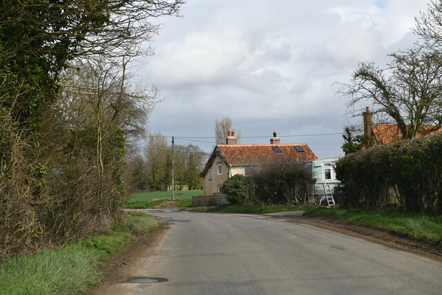
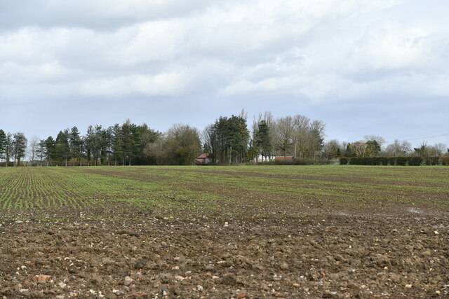
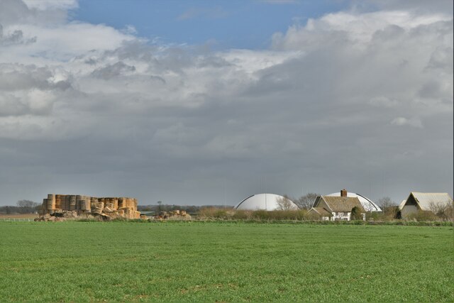
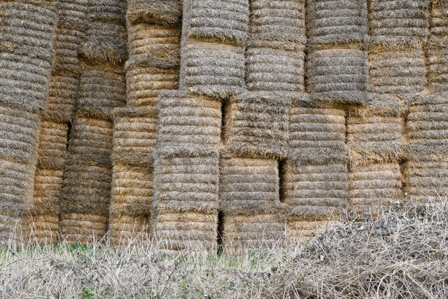
Fersfield is a small village located in Norfolk, England. It is situated approximately 3 miles south of the market town of Diss. The village is surrounded by picturesque countryside, with rolling fields and woodlands providing a peaceful and rural setting.

Fersfield is a close-knit community with a population of around 300 residents. The village has a mix of traditional cottages and more modern houses, giving it a quaint and charming feel. There is a village hall which hosts various community events and activities, as well as a local pub where residents can gather and socialize.

The surrounding area offers plenty of opportunities for outdoor recreation, with numerous walking and cycling paths crisscrossing the countryside. The nearby town of Diss provides amenities such as shops, schools, and healthcare facilities, making Fersfield a convenient place to live.

Overall, Fersfield is a peaceful and idyllic village that offers a tranquil setting for those looking to escape the hustle and bustle of city life.

If you have any feedback on the listing, please let us know in the comments section below.
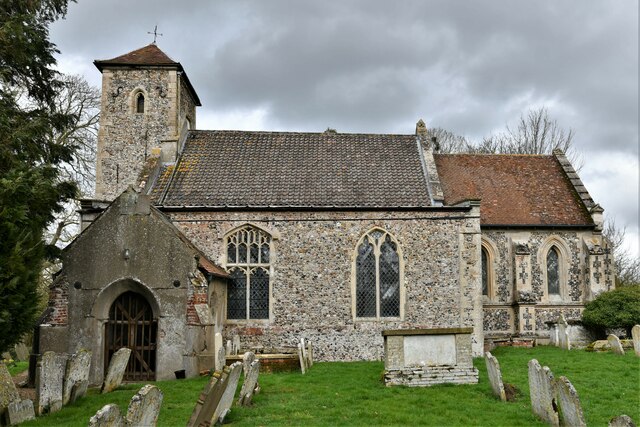
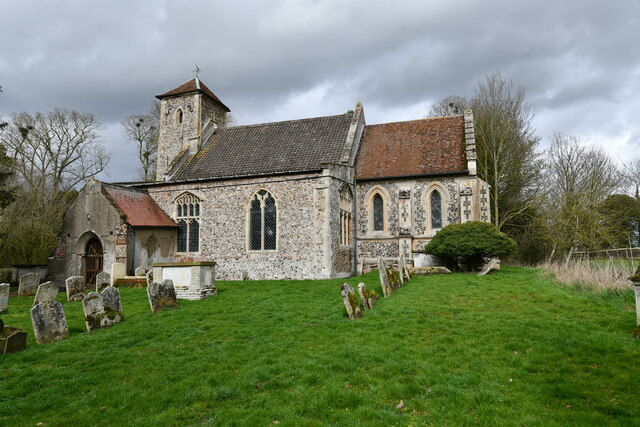
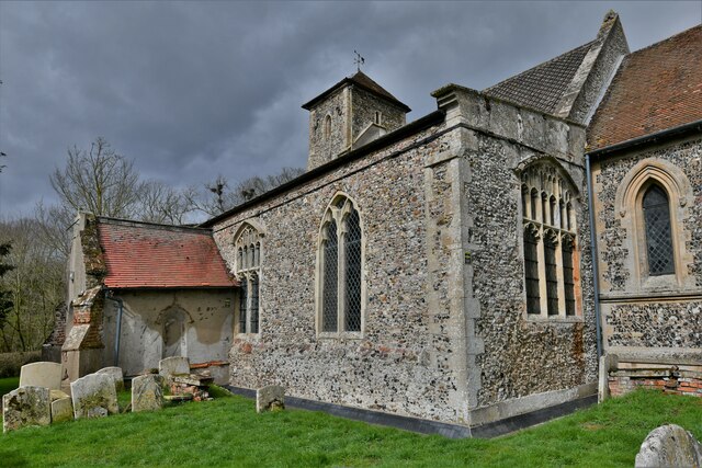
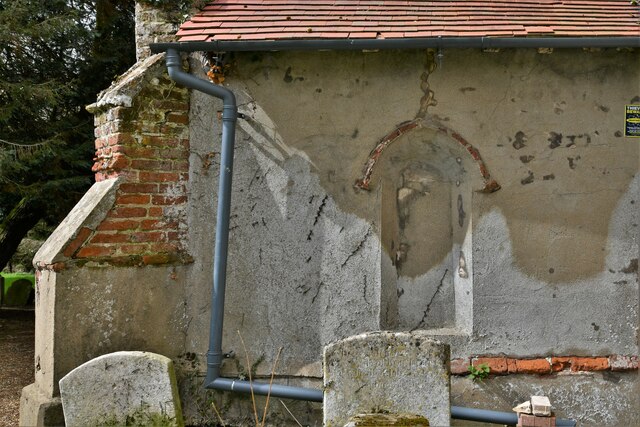
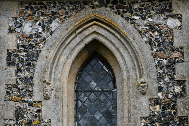
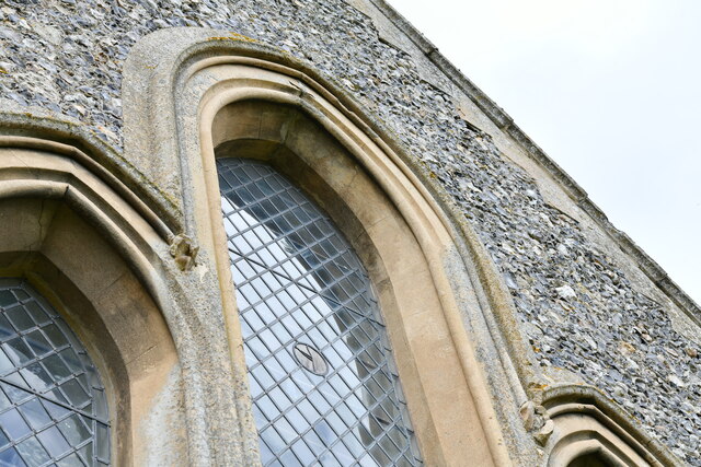
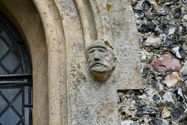
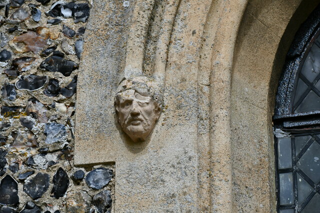
Fersfield Images

Images are sourced within 2km of 52.405498/1.035859 or Grid Reference TM0682. Thanks to Geograph Open Source API. All images are credited.

Bressingham Trig Pillar Flush bracket S1952.
Bressingham Trig Pillar
Flush bracket S1952.
Fersfield: Approaching Holly Cottage in The Street
Fersfield: A Crop beginning to show
Bressingham: A man-made covered mound surrounded by old tyres
Bressingham: Deal Farm
Bressingham, Deal Farm: A small part of a huge, uncovered hay storage area
Fersfield, St. Andrew's Church: The tower
Fersfield, St. Andrew's Church: Southern aspect
Fersfield, St. Andrew's Church: South eastern aspect
Fersfield, St. Andrew's Church: South porch
Fersfield, St. Andrew's Church: South porch, east wall detail
Fersfield, St. Andrew's Church: Chancel window detail
Fersfield, St. Andrew's Church: Victorianised triple lancet east window
Fersfield, St. Andrew's Church: South chancel window head stop
Show me another place!

Fersfield is located at Grid Ref: TM0682 (Lat: 52.405498, Lng: 1.035859)

Administrative County: Norfolk

District: South Norfolk

Police Authority: Norfolk

What 3 Words

///outbound.wolf.merchant. Near Banham, Norfolk

Related Wikis

Fersfield

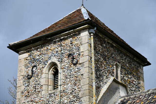
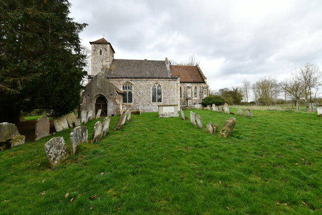
Fersfield is a village and former civil parish, now in the parish of Bressingham, in the South Norfolk district, in the county of Norfolk, England. The...

Boyland Common

Boyland Common is a place in the English county of Norfolk. It lies on the border of Fersfield and Shelfanger parishes. It consists of a few scattered...

Bressingham

Bressingham is a village and civil parish in the English county of Norfolk. It covers an area of 15.77 km2 (6.09 sq mi) and had a population of 751 in...

RAF Fersfield

Royal Air Force Fersfield or more simply RAF Fersfield (originally known as RAF Winfarthing) is a former Royal Air Force station located 16 miles (26 km...

Nearby Amenities

Located within 500m of 52.405498,1.035859
Power: pole
Source: Bing
Lat/Long: 52.4051876/1.0398012
Power: pole
Source: Bing
Lat/Long: 52.4059926/1.0365557
Power: pole
Source: Bing
Lat/Long: 52.4054564/1.0386991
Power: pole
Source: Bing
Lat/Long: 52.4057177/1.0376125
Power: pole
Source: Bing
Lat/Long: 52.4049351/1.0408925
Power: pole
Source: Bing
Lat/Long: 52.4047097/1.0418665
Power: pole
Source: Bing
Lat/Long: 52.4044807/1.0429179
Fersfield
Man Made: village_sign
Material: metal
Lat/Long: 52.4040658/1.0347466
Fersfield
Place: hamlet
Source: OS 1:25k
Lat/Long: 52.4045001/1.0358045
Post Box
Collection Times: Mo-Fr 17:00; Sa 11:00
Post Box Mounting: telegraph_pole
Post Box Type: lamp
Ref: IP22 7024
Royal Cypher: EIIR
Royal Cypher Wikidata: Q33102113
Lat/Long: 52.4083273/1.0381962
Note: Gap
Lat/Long: 52.4084036/1.0381023
Waste Basket
Lat/Long: 52.4083748/1.0381144
War Memorial
Description: Stone Pillar beside path
Historic: memorial
Inscription: In Memory of the Men of This Parish Who Fell in the Grerat War 1914 - 1918 (4 mens names engraved). Greater Love Hath No Man Than This That A Man Lay Down His Life For His Friends.
Lat/Long: 52.4046391/1.0352165
Bench
Backrest: yes
Material: wood
Seats: 3
Lat/Long: 52.4044564/1.0351264
Leisure: picnic_table
Lat/Long: 52.4083723/1.0377842
Leisure: picnic_table
Lat/Long: 52.4084844/1.0380525
Bench
Backrest: yes
Material: wood
Seats: 2
Lat/Long: 52.4045073/1.0350832
Board Type: map
Description: Walks in area.
Information: board
Tourism: information
Lat/Long: 52.4041093/1.0347748
Entrance: main
Lat/Long: 52.4044038/1.0351596
The data included in this document is from www.openstreetmap.org. The data is made available under ODbL.

Have you been to Fersfield?

Leave your review of Fersfield below (or comments, questions and feedback).