Iron Hill

Hill, Mountain in Kent Swale

England

Iron Hill

Danecourt Bridge As can be seen from the state of the road, Kit Hill is narrow and little used. A little way ahead it reaches the tiny hamlet of Crouch. Here it passes under the railway line between Faversham and Selling at Danecourt Bridge.

The section of the East Kent Railway between Chatham and Faversham opened on 25th January 1858. The continuation from Faversham to Canterbury East was opened on 9th July 1860 by the London, Chatham & Dover Railway. Faversham is the next station to the left and Selling to the right.
Danecourt Bridge Credit: Marathon

Iron Hill is a prominent geographical feature located in Kent, England. It is a relatively small hill, standing at an elevation of 215 meters (705 feet) above sea level. Despite its modest height, Iron Hill is well-known for its historical significance and captivating natural beauty.

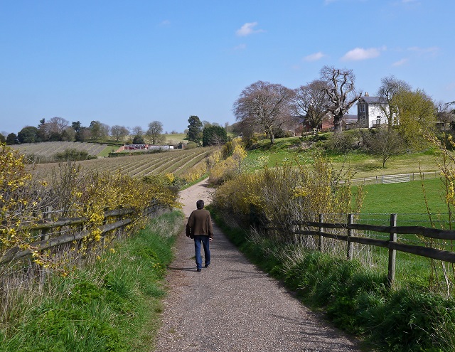
Situated in the eastern part of Kent, Iron Hill offers panoramic views of the surrounding countryside. Its location within the Kent Downs Area of Outstanding Natural Beauty enhances its allure, attracting hikers, nature enthusiasts, and photographers alike. The hill is covered in lush greenery, with a variety of trees and plant species dotting its slopes.

The name "Iron Hill" has historical origins, as it is believed to be associated with the Iron Age. Archaeological evidence suggests that Iron Hill was once a settlement, possibly a hillfort or an ironworking site. The area has yielded numerous iron artifacts, further supporting this theory.

Today, Iron Hill remains a popular destination for outdoor activities. It is crisscrossed with footpaths and trails, providing opportunities for leisurely walks, challenging hikes, and even mountain biking. The hill's summit offers commanding views of the surrounding countryside, making it a favorite spot for picnics and photography.

Iron Hill is easily accessible, with nearby towns offering parking facilities and public transportation links. Whether one is interested in the hill's historical significance or simply seeking a peaceful escape into nature, Iron Hill is a destination that offers both.

If you have any feedback on the listing, please let us know in the comments section below.
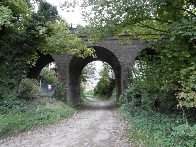
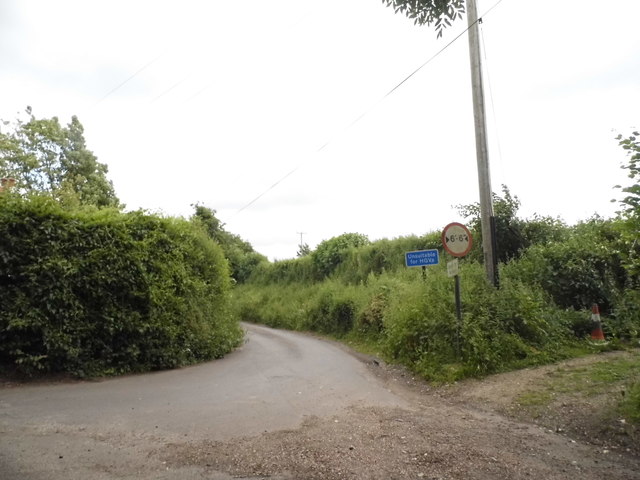
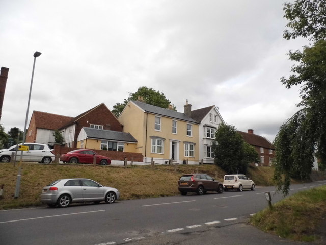
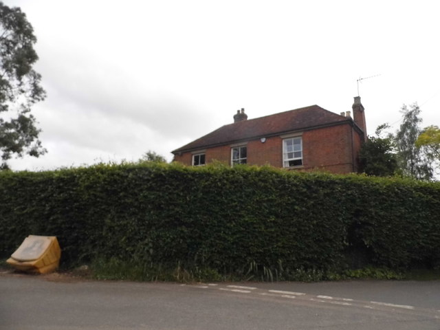
Iron Hill Images

Images are sourced within 2km of 51.286277/0.95688837 or Grid Reference TR0658. Thanks to Geograph Open Source API. All images are credited.

Danecourt Bridge As can be seen from the state of the road, Kit Hill is narrow and little used. A little way ahead it reaches the tiny hamlet of Crouch. Here it passes under the railway line between Faversham and Selling at Danecourt Bridge.

The section of the East Kent Railway between Chatham and Faversham opened on 25th January 1858. The continuation from Faversham to Canterbury East was opened on 9th July 1860 by the London, Chatham & Dover Railway. Faversham is the next station to the left and Selling to the right.
Danecourt Bridge
As can be seen from the state of the road, Kit Hill is narrow and little used. A little way ahead it reaches the tiny hamlet of Crouch. Here it passes under the railway line between Faversham and Selling at Danecourt Bridge. The section of the East Kent Railway between Chatham and Faversham opened on 25th January 1858. The continuation from Faversham to Canterbury East was opened on 9th July 1860 by the London, Chatham & Dover Railway. Faversham is the next station to the left and Selling to the right.
'The Bounds' From Bounds Lane
'The Bounds'
From Bounds Lane
Ordnance Survey Flush Bracket S6173 This can be found on the roadside wall of the former primary school in Dunkirk.
For more detail see : <span class="nowrap"><a title="http://www.bench-marks.org.uk/bm19720" rel="nofollow ugc noopener" href="http://www.bench-marks.org.uk/bm19720">Link</a><img style="margin-left:2px;" alt="External link" title="External link - shift click to open in new window" src="https://s1.geograph.org.uk/img/external.png" width="10" height="10"/></span>
Ordnance Survey Flush Bracket S6173
This can be found on the roadside wall of the former primary school in Dunkirk. For more detail see : LinkExternal link
Ordnance Survey Flush Bracket S6174 This can be found on the wall of the Primary School in Boughton Street.
For more detail see : <span class="nowrap"><a title="http://www.bench-marks.org.uk/bm19721" rel="nofollow ugc noopener" href="http://www.bench-marks.org.uk/bm19721">Link</a><img style="margin-left:2px;" alt="External link" title="External link - shift click to open in new window" src="https://s1.geograph.org.uk/img/external.png" width="10" height="10"/></span>
Ordnance Survey Flush Bracket S6174
This can be found on the wall of the Primary School in Boughton Street. For more detail see : LinkExternal link
Ordnance Survey Cut Mark with Bolt This can be found on the roadside wall of a former Chapel building in The Street, Boughton Street.
For more detail see : <span class="nowrap"><a title="http://www.bench-marks.org.uk/bm29610" rel="nofollow ugc noopener" href="http://www.bench-marks.org.uk/bm29610">Link</a><img style="margin-left:2px;" alt="External link" title="External link - shift click to open in new window" src="https://s1.geograph.org.uk/img/external.png" width="10" height="10"/></span>
Ordnance Survey Cut Mark with Bolt
This can be found on the roadside wall of a former Chapel building in The Street, Boughton Street. For more detail see : LinkExternal link
The Street in Boughton Street Looking eastward.
The Street in Boughton Street
Looking eastward.
Hops and Oast in Bull Lane
Bungalow on South Street, Crouch
Little road to Winterbourne
Verge by Horselees Road, Boughton-under-Blean
Horselees Road, Boughton-under-Blean Going under the A2
Horselees Road, Boughton-under-Blean
Going under the A2
Horselees Road, Boughton Street
The Street, Boughton Street
Old Bakery Mews, Broughton Street The OS map says Broughton Street while the A-Z says Boughton-under-Blean. I will go with the OS map as these are posted on it but mention the other for reference.
Old Bakery Mews, Broughton Street
The OS map says Broughton Street while the A-Z says Boughton-under-Blean. I will go with the OS map as these are posted on it but mention the other for reference.
Bull Lane, Broughton Street
House on the corner of Fox Lane, Oversland In the Google view in 2009 the hedge only comes half way up the ground floor.
House on the corner of Fox Lane, Oversland
In the Google view in 2009 the hedge only comes half way up the ground floor.
Houses on South Street
Tudor cottages on South Street There are two front doors so presumably semi-detached. It is also probably genuine Tudor. The bendy beams and other local buildings are the main clues.
Tudor cottages on South Street
There are two front doors so presumably semi-detached. It is also probably genuine Tudor. The bendy beams and other local buildings are the main clues.
Show me another place!

Iron Hill is located at Grid Ref: TR0658 (Lat: 51.286277, Lng: 0.95688837)

Administrative County: Kent

District: Swale

Police Authority: Kent

What 3 Words

///flamingo.turns.engages. Near Chartham, Kent

Related Wikis

Oversland

Oversland is a settlement in the Swale district of Kent, England. It is located about 1 mile (1.6 km) to the west of Selling and is situated near Selling...

Boughton under Blean

Boughton under Blean is a village and civil parish between Faversham and Canterbury in south-east England. "Boughton under Blean" technically refers only...

Selling railway station

Selling railway station is on the Dover branch of the Chatham Main Line in England, serving the village of Selling, Kent. It is 55 miles 18 chains (88...

Mount Ephraim Gardens

Mount Ephraim Gardens is an Edwardian terraced gardens located at Hernhill, near Faversham, in the English county of Kent. == History == The gardens are...

Nearby Amenities

Located within 500m of 51.286277,0.95688837
Generator Method: photovoltaic
Generator Output Electricity: yes
Generator Solar Modules: 8
Generator Source: solar
Generator Type: solar_photovoltaic_panel
Location: roof
Power: generator
Lat/Long: 51.2832775/0.9597749
Generator Method: photovoltaic
Generator Output Electricity: yes
Generator Solar Modules: 8
Generator Source: solar
Generator Type: solar_photovoltaic_panel
Location: roof
Power: generator
Lat/Long: 51.2833324/0.9597554
The data included in this document is from www.openstreetmap.org. The data is made available under ODbL.

Have you been to Iron Hill?

Leave your review of Iron Hill below (or comments, questions and feedback).