Trent Wood

Wood, Forest in Kent Swale

England

Trent Wood

Boughton Golf Course, Boughton-under-Blean Viewed from the footpath that leads from the village to the church of St. Peter and St. Paul on South Street.
Boughton Golf Course, Boughton-under-Blean Credit: pam fray

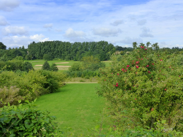
Trent Wood, Kent, also known as Wood Forest, is a picturesque woodland located in the county of Kent, England. Covering an area of approximately 200 acres, this ancient forest is a captivating natural beauty that offers a serene and tranquil escape for visitors.

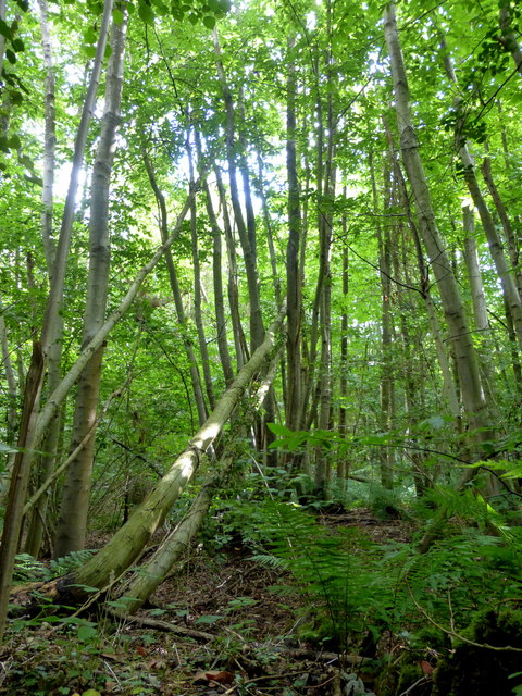
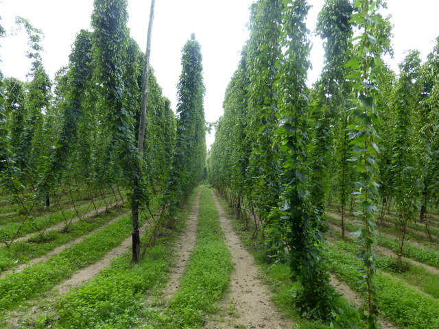
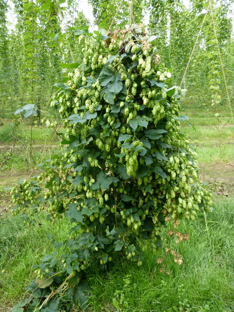
Composed primarily of oak trees, Trent Wood boasts a rich biodiversity, providing a habitat for an array of flora and fauna. The forest floor is carpeted with a vibrant assortment of wildflowers, creating a stunning display during the spring and summer months. Moreover, the wood is home to numerous species of birds, including woodpeckers, nightingales, and owls, making it a haven for birdwatchers and nature enthusiasts.

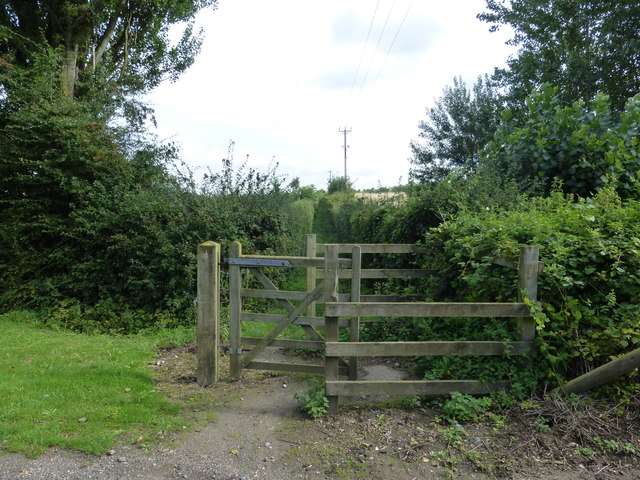
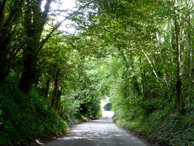
The forest provides an extensive network of walking trails, allowing visitors to explore its enchanting surroundings at their own pace. These well-maintained paths wind through the forest, leading visitors to secluded clearings, babbling brooks, and hidden ponds, further enhancing the sense of tranquility and seclusion.

Trent Wood also offers various recreational activities for visitors to enjoy. Picnic areas are scattered throughout the forest, providing an ideal spot for families and friends to relax and enjoy a meal amidst the natural beauty. Additionally, the forest is a popular destination for camping and hiking, with designated camping areas and trails that cater to outdoor enthusiasts.

Overall, Trent Wood, Kent is a captivating woodland that combines natural beauty, biodiversity, and recreational opportunities, making it an ideal destination for nature lovers seeking solace in the heart of the English countryside.

If you have any feedback on the listing, please let us know in the comments section below.
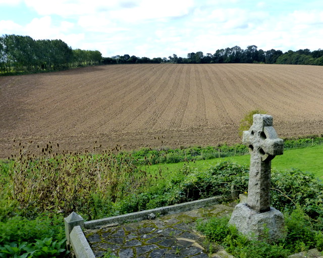
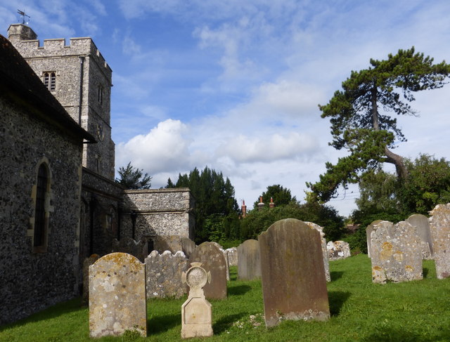
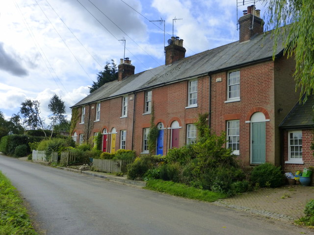
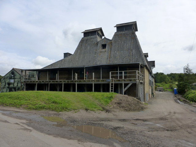
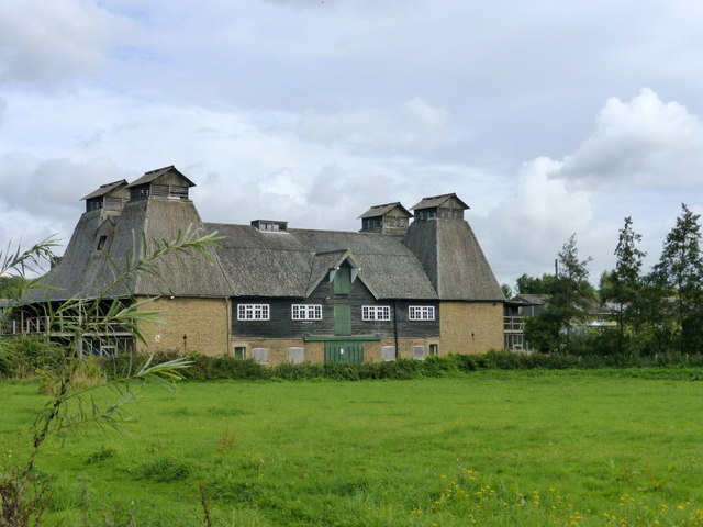
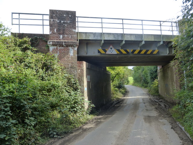
Trent Wood Images

Images are sourced within 2km of 51.287976/0.95371283 or Grid Reference TR0658. Thanks to Geograph Open Source API. All images are credited.

Boughton Golf Course, Boughton-under-Blean Viewed from the footpath that leads from the village to the church of St. Peter and St. Paul on South Street.
Boughton Golf Course, Boughton-under-Blean
Viewed from the footpath that leads from the village to the church of St. Peter and St. Paul on South Street.
Footpath from Boughton-under-Blean to South Street The path crosses Boughton Golf Course and leads from the village to the parish church of St. Peter and St. Paul which is about a mile from the village centre.
Footpath from Boughton-under-Blean to South Street
The path crosses Boughton Golf Course and leads from the village to the parish church of St. Peter and St. Paul which is about a mile from the village centre.
The 9th hole, Boughton Golf Course Viewed from the footpath that leads from the village to the church of St. Peter and St. Paul on South Street.
The 9th hole, Boughton Golf Course
Viewed from the footpath that leads from the village to the church of St. Peter and St. Paul on South Street.
Boughton Church, South Street The church of St. Peter and St. Paul, Boughton-under-Blean, is a Grade I listed medieval building, situated nearly a mile from the village centre. The footpath leading to it is known as the coffin track as the funeral procession used to travel along it with the coffin on a cart.
Boughton Church, South Street
The church of St. Peter and St. Paul, Boughton-under-Blean, is a Grade I listed medieval building, situated nearly a mile from the village centre. The footpath leading to it is known as the coffin track as the funeral procession used to travel along it with the coffin on a cart.
View from Boughton churchyard Looking towards Brenley Farm. The church of St. Peter and St. Paul, Boughton-under-Blean, is a Grade I listed medieval building, situated nearly a mile from the village centre.
View from Boughton churchyard
Looking towards Brenley Farm. The church of St. Peter and St. Paul, Boughton-under-Blean, is a Grade I listed medieval building, situated nearly a mile from the village centre.
View from Boughton churchyard Looking towards Selling.The church of St. Peter and St. Paul, Boughton-under-Blean, is a Grade I listed medieval building, situated nearly a mile from the village centre.
View from Boughton churchyard
Looking towards Selling.The church of St. Peter and St. Paul, Boughton-under-Blean, is a Grade I listed medieval building, situated nearly a mile from the village centre.
Boughton church and churchyard, South Street The church of St. Peter and St. Paul, Boughton-under-Blean, is a Grade I listed medieval building, situated nearly a mile from the village centre. The footpath leading to it is known as the coffin track as the funeral procession used to travel along it with the coffin on a cart.
Boughton church and churchyard, South Street
The church of St. Peter and St. Paul, Boughton-under-Blean, is a Grade I listed medieval building, situated nearly a mile from the village centre. The footpath leading to it is known as the coffin track as the funeral procession used to travel along it with the coffin on a cart.
Cottages in South Street, Boughton-under-Blean Being so close to Boughton Church Farm, I assume that these dwellings were originally built for farm workers.
Cottages in South Street, Boughton-under-Blean
Being so close to Boughton Church Farm, I assume that these dwellings were originally built for farm workers.
Oast house, South Street, Boughton-under-Blean One of the few working oasts in the area.
Oast house, South Street, Boughton-under-Blean
One of the few working oasts in the area.
Oast house, South Street, Boughton-under-Blean One of the few working oasts in the area.
Oast house, South Street, Boughton-under-Blean
One of the few working oasts in the area.
Crouch Lane passing under the railway bridge Leading to Selling Station.
Crouch Lane passing under the railway bridge
Leading to Selling Station.
New homes in Selling A small development taking place near Oversland.
New homes in Selling
A small development taking place near Oversland.
Fox Lane railway bridge Looking towards Oversland.
Fox Lane railway bridge
Looking towards Oversland.
Horselees Road, by Meadow Wood Looking towards Boughton-under-Blean
Horselees Road, by Meadow Wood
Looking towards Boughton-under-Blean
Meadow Wood, near Boughton-under-Blean Viewed from Horselees Road.
Meadow Wood, near Boughton-under-Blean
Viewed from Horselees Road.
Hop fields, Boughton-under-Blean Situated on the south side of the A2 road from Faversham to Canterbury. It is now hop picking time and Faversham Hop Festival is about to begin.
Hop fields, Boughton-under-Blean
Situated on the south side of the A2 road from Faversham to Canterbury. It is now hop picking time and Faversham Hop Festival is about to begin.
Hops in a field in Boughton-under-Blean Situated on the south side of the A2 road from Faversham to Canterbury. It is now hop picking time and Faversham Hop Festival is about to begin.
Hops in a field in Boughton-under-Blean
Situated on the south side of the A2 road from Faversham to Canterbury. It is now hop picking time and Faversham Hop Festival is about to begin.
Hop picking, modern style. Boughton-under-Blean Situated on the south side of the A2 road from Faversham to Canterbury. Hop picking is now under way and Faversham Hop Festival is about to begin.
Hop picking, modern style. Boughton-under-Blean
Situated on the south side of the A2 road from Faversham to Canterbury. Hop picking is now under way and Faversham Hop Festival is about to begin.
Show me another place!

Trent Wood is located at Grid Ref: TR0658 (Lat: 51.287976, Lng: 0.95371283)

Administrative County: Kent

District: Swale

Police Authority: Kent

What 3 Words

///emblem.lamplight.emotional. Near Faversham, Kent

Related Wikis

Oversland

Oversland is a settlement in the Swale district of Kent, England. It is located about 1 mile (1.6 km) to the west of Selling and is situated near Selling...

Boughton under Blean

Boughton under Blean is a village and civil parish between Faversham and Canterbury in south-east England. "Boughton under Blean" technically refers only...

Selling railway station

Selling railway station is on the Dover branch of the Chatham Main Line in England, serving the village of Selling, Kent. It is 55 miles 18 chains (88...

Mount Ephraim Gardens

Mount Ephraim Gardens is an Edwardian terraced gardens located at Hernhill, near Faversham, in the English county of Kent. == History == The gardens are...

Staplestreet

Staplestreet is a village near the village of Boughton Street, in the Swale District of the English county of Kent. It is east of the town of Faversham...

Dunkirk, Kent

Dunkirk is a village and civil parish between Faversham and Canterbury in southeast England. It lies on the Canterbury Road between Boughton under Blean...

Hernhill

Hernhill is a village and civil parish between Faversham and Canterbury in southeast England. The parish includes the hamlets of Crockham, Dargate, The...

Battle of Bossenden Wood

The Battle of Bossenden Wood took place on 31 May 1838 near Hernhill in Kent; it has been called the last battle on English soil. The battle was fought...

Nearby Amenities

Located within 500m of 51.287976,0.95371283
The data included in this document is from www.openstreetmap.org. The data is made available under ODbL.

Have you been to Trent Wood?

Leave your review of Trent Wood below (or comments, questions and feedback).