Mount Wood
Wood, Forest in Kent Swale
England
Mount Wood
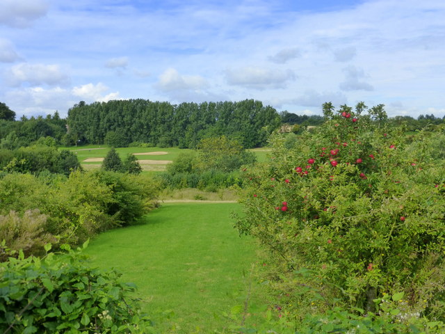
Mount Wood is a prominent geographical feature located in the county of Kent, England. Situated in the heart of the Wood Forest, it stands tall at an elevation of approximately 500 meters above sea level. The mountain is renowned for its picturesque beauty and is a popular destination for hikers, nature enthusiasts, and tourists alike.
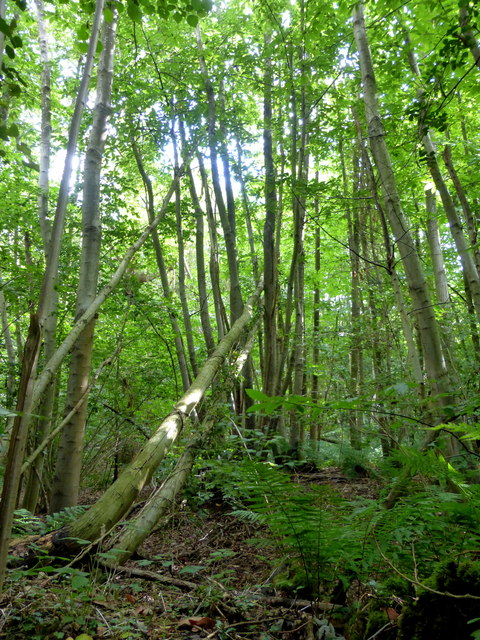
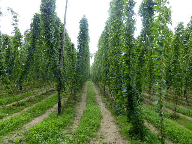
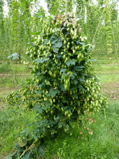
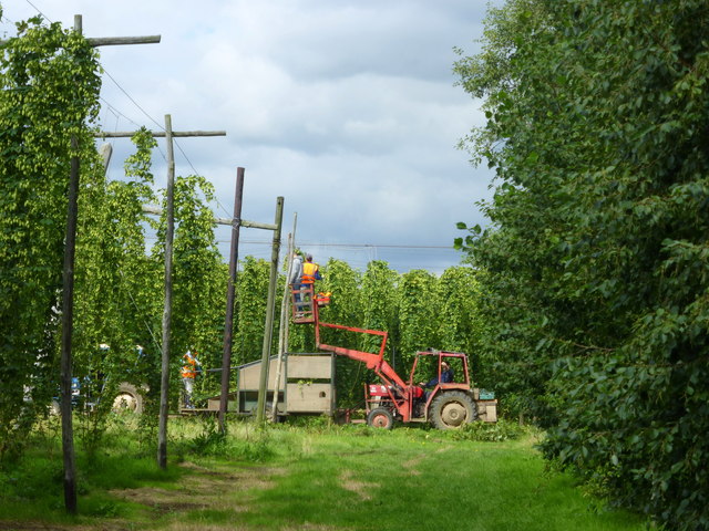
The Wood Forest, of which Mount Wood is a part, is characterized by dense woodlands, sprawling meadows, and a diverse range of flora and fauna. The forest covers an extensive area of over 1,000 hectares and is known for its biodiversity and ecological significance. It is home to numerous species of birds, mammals, and insects, making it a haven for wildlife enthusiasts.
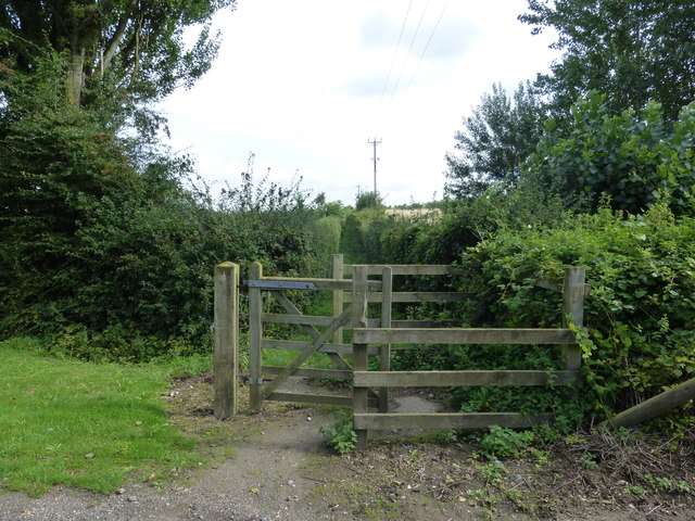
Mount Wood itself offers breathtaking panoramic views of the surrounding landscape, including rolling hills, picturesque valleys, and charming villages. Its summit can be reached through well-marked trails that wind through the forest, providing an opportunity for visitors to immerse themselves in the natural beauty of the area.
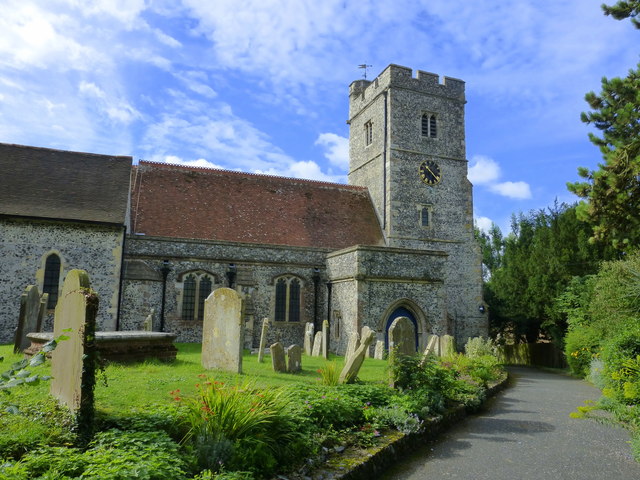
The mountain is also historically significant, with evidence of human habitation dating back to ancient times. Archaeological finds indicate that the area was inhabited as early as the Neolithic period, and remnants of ancient settlements and burial sites have been discovered in the vicinity.
In addition to its natural and historical significance, Mount Wood offers various recreational activities for visitors, such as camping, picnicking, and wildlife spotting. It is a cherished destination for both locals and tourists seeking solace in nature and a glimpse into the rich history of the region.
If you have any feedback on the listing, please let us know in the comments section below.
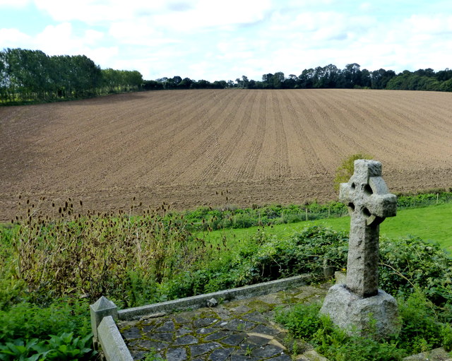
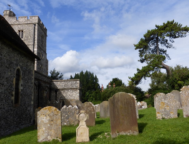
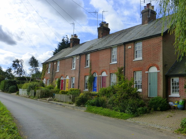
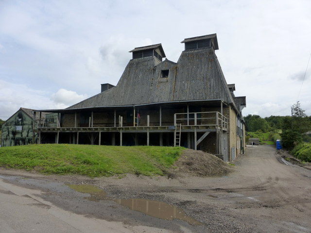
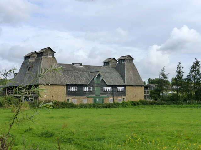
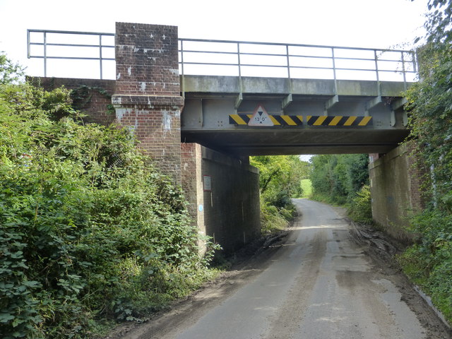
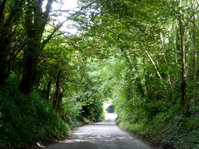
Mount Wood Images
Images are sourced within 2km of 51.283968/0.9578587 or Grid Reference TR0658. Thanks to Geograph Open Source API. All images are credited.


Mount Wood is located at Grid Ref: TR0658 (Lat: 51.283968, Lng: 0.9578587)
Administrative County: Kent
District: Swale
Police Authority: Kent
What 3 Words
///script.rectangular.tumblers. Near Chartham, Kent
Nearby Locations
Related Wikis

Oversland
Oversland is a settlement in the Swale district of Kent, England. It is located about 1 mile (1.6 km) to the west of Selling and is situated near Selling...

Selling railway station
Selling railway station is on the Dover branch of the Chatham Main Line in England, serving the village of Selling, Kent. It is 55 miles 18 chains (88...

Boughton under Blean
Boughton under Blean is a village and civil parish between Faversham and Canterbury in south-east England. "Boughton under Blean" technically refers only...
Dunkirk, Kent
Dunkirk is a village and civil parish between Faversham and Canterbury in southeast England. It lies on the Canterbury Road between Boughton under Blean...

Mount Ephraim Gardens
Mount Ephraim Gardens is an Edwardian terraced gardens located at Hernhill, near Faversham, in the English county of Kent. == History == The gardens are...
Staplestreet
Staplestreet is a village near the village of Boughton Street, in the Swale District of the English county of Kent. It is east of the town of Faversham...
Hernhill
Hernhill is a village and civil parish between Faversham and Canterbury in southeast England. The parish includes the hamlets of Crockham, Dargate, The...

Battle of Bossenden Wood
The Battle of Bossenden Wood took place on 31 May 1838 near Hernhill in Kent; it has been called the last battle on English soil. The battle was fought...
Nearby Amenities
Located within 500m of 51.283968,0.9578587Have you been to Mount Wood?
Leave your review of Mount Wood below (or comments, questions and feedback).