Arnolds Wood

Wood, Forest in Kent Swale

England

Arnolds Wood

Boughton Golf Course, Boughton-under-Blean Viewed from the footpath that leads from the village to the church of St. Peter and St. Paul on South Street.
Boughton Golf Course, Boughton-under-Blean Credit: pam fray

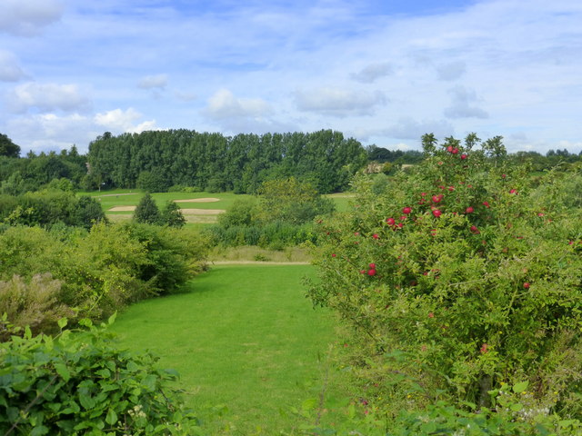
Arnolds Wood, located in Kent, England, is a picturesque forest that covers an area of approximately 100 acres. It is a popular destination for nature enthusiasts, hikers, and birdwatchers due to its diverse flora and fauna.

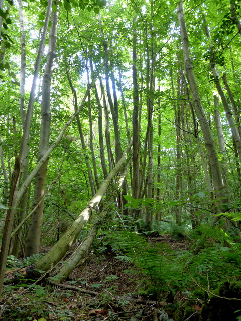
The wood is characterized by its dense canopy of deciduous and evergreen trees, including oak, beech, ash, and birch. These majestic trees create a serene and tranquil environment, providing a habitat for a variety of wildlife species. Visitors can often spot squirrels, rabbits, and deer roaming freely within the wood. Birdwatchers are particularly drawn to Arnolds Wood, as it is home to a wide range of bird species, including woodpeckers, buzzards, and owls.

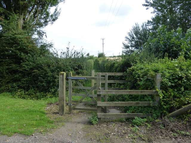
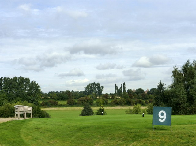
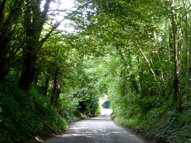
There are several well-maintained walking trails within the wood, allowing visitors to explore its beauty at their own pace. These trails lead to hidden clearings, offering stunning views of the surrounding countryside. There are also designated picnic areas, providing visitors with the perfect opportunity to relax and enjoy the peaceful surroundings.

Arnolds Wood is well-preserved and managed by local authorities, ensuring its natural beauty is protected for future generations. It is a designated Site of Special Scientific Interest (SSSI), due to its importance for wildlife conservation. The wood also plays a vital role in maintaining the ecological balance of the area and acts as a carbon sink, contributing to the fight against climate change.

Overall, Arnolds Wood is a haven for nature lovers, offering a tranquil escape from the hustle and bustle of everyday life. Its rich biodiversity and awe-inspiring landscapes make it a must-visit destination for anyone seeking a connection with nature.

If you have any feedback on the listing, please let us know in the comments section below.
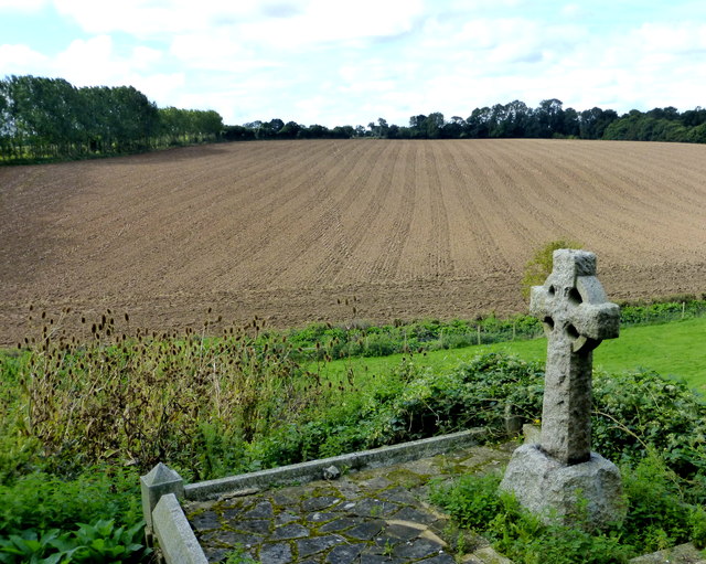
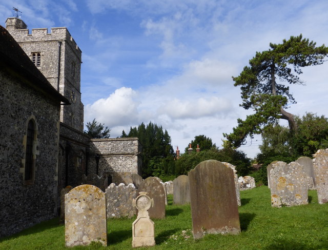
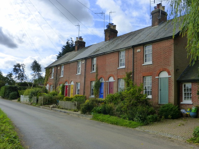
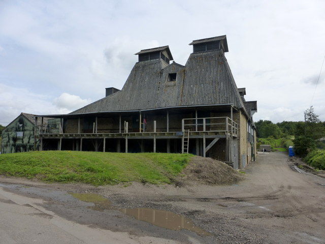
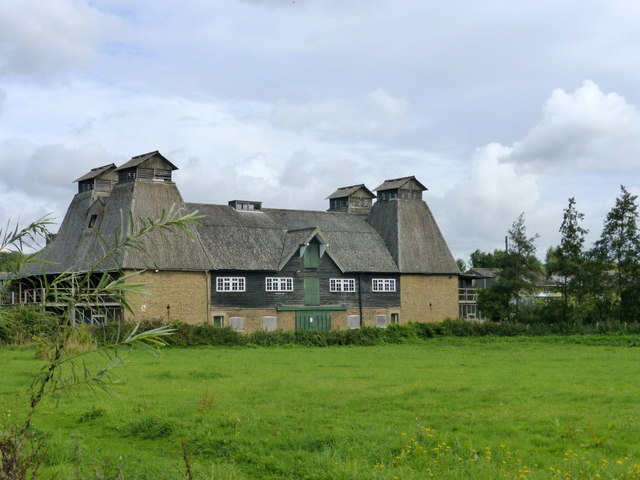
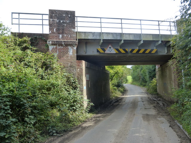
Arnolds Wood Images

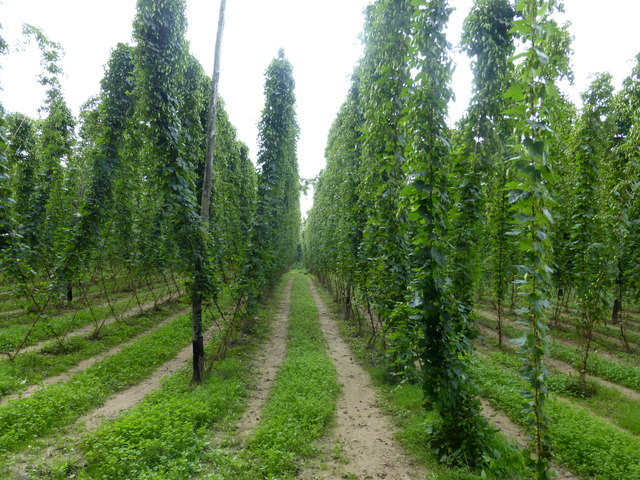
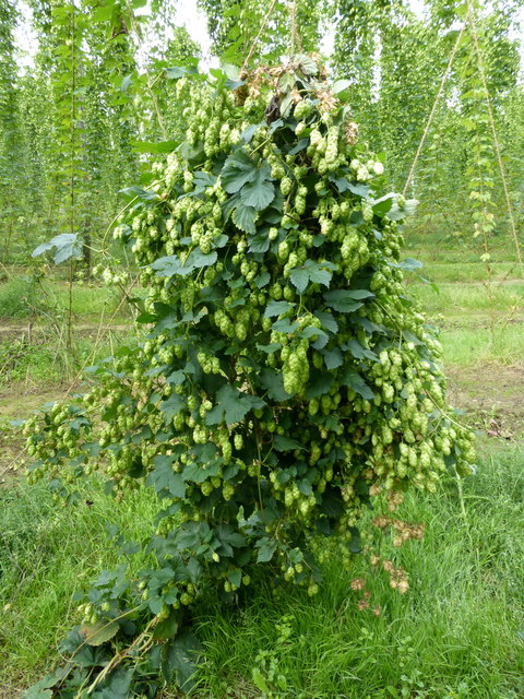
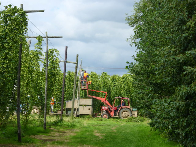
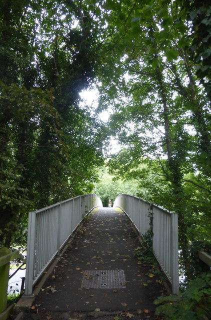
Images are sourced within 2km of 51.285406/0.96251226 or Grid Reference TR0658. Thanks to Geograph Open Source API. All images are credited.

Boughton Golf Course, Boughton-under-Blean Viewed from the footpath that leads from the village to the church of St. Peter and St. Paul on South Street.
Boughton Golf Course, Boughton-under-Blean
Viewed from the footpath that leads from the village to the church of St. Peter and St. Paul on South Street.
Footpath from Boughton-under-Blean to South Street The path crosses Boughton Golf Course and leads from the village to the parish church of St. Peter and St. Paul which is about a mile from the village centre.
Footpath from Boughton-under-Blean to South Street
The path crosses Boughton Golf Course and leads from the village to the parish church of St. Peter and St. Paul which is about a mile from the village centre.
The 9th hole, Boughton Golf Course Viewed from the footpath that leads from the village to the church of St. Peter and St. Paul on South Street.
The 9th hole, Boughton Golf Course
Viewed from the footpath that leads from the village to the church of St. Peter and St. Paul on South Street.
Boughton Church, South Street The church of St. Peter and St. Paul, Boughton-under-Blean, is a Grade I listed medieval building, situated nearly a mile from the village centre. The footpath leading to it is known as the coffin track as the funeral procession used to travel along it with the coffin on a cart.
Boughton Church, South Street
The church of St. Peter and St. Paul, Boughton-under-Blean, is a Grade I listed medieval building, situated nearly a mile from the village centre. The footpath leading to it is known as the coffin track as the funeral procession used to travel along it with the coffin on a cart.
View from Boughton churchyard Looking towards Selling.The church of St. Peter and St. Paul, Boughton-under-Blean, is a Grade I listed medieval building, situated nearly a mile from the village centre.
View from Boughton churchyard
Looking towards Selling.The church of St. Peter and St. Paul, Boughton-under-Blean, is a Grade I listed medieval building, situated nearly a mile from the village centre.
Boughton church and churchyard, South Street The church of St. Peter and St. Paul, Boughton-under-Blean, is a Grade I listed medieval building, situated nearly a mile from the village centre. The footpath leading to it is known as the coffin track as the funeral procession used to travel along it with the coffin on a cart.
Boughton church and churchyard, South Street
The church of St. Peter and St. Paul, Boughton-under-Blean, is a Grade I listed medieval building, situated nearly a mile from the village centre. The footpath leading to it is known as the coffin track as the funeral procession used to travel along it with the coffin on a cart.
Cottages in South Street, Boughton-under-Blean Being so close to Boughton Church Farm, I assume that these dwellings were originally built for farm workers.
Cottages in South Street, Boughton-under-Blean
Being so close to Boughton Church Farm, I assume that these dwellings were originally built for farm workers.
Oast house, South Street, Boughton-under-Blean One of the few working oasts in the area.
Oast house, South Street, Boughton-under-Blean
One of the few working oasts in the area.
Oast house, South Street, Boughton-under-Blean One of the few working oasts in the area.
Oast house, South Street, Boughton-under-Blean
One of the few working oasts in the area.
Crouch Lane passing under the railway bridge Leading to Selling Station.
Crouch Lane passing under the railway bridge
Leading to Selling Station.
New homes in Selling A small development taking place near Oversland.
New homes in Selling
A small development taking place near Oversland.
Fox Lane railway bridge Looking towards Oversland.
Fox Lane railway bridge
Looking towards Oversland.
Horselees Road, by Meadow Wood Looking towards Boughton-under-Blean
Horselees Road, by Meadow Wood
Looking towards Boughton-under-Blean
Meadow Wood, near Boughton-under-Blean Viewed from Horselees Road.
Meadow Wood, near Boughton-under-Blean
Viewed from Horselees Road.
Hop fields, Boughton-under-Blean Situated on the south side of the A2 road from Faversham to Canterbury. It is now hop picking time and Faversham Hop Festival is about to begin.
Hop fields, Boughton-under-Blean
Situated on the south side of the A2 road from Faversham to Canterbury. It is now hop picking time and Faversham Hop Festival is about to begin.
Hops in a field in Boughton-under-Blean Situated on the south side of the A2 road from Faversham to Canterbury. It is now hop picking time and Faversham Hop Festival is about to begin.
Hops in a field in Boughton-under-Blean
Situated on the south side of the A2 road from Faversham to Canterbury. It is now hop picking time and Faversham Hop Festival is about to begin.
Hop picking, modern style. Boughton-under-Blean Situated on the south side of the A2 road from Faversham to Canterbury. Hop picking is now under way and Faversham Hop Festival is about to begin.
Hop picking, modern style. Boughton-under-Blean
Situated on the south side of the A2 road from Faversham to Canterbury. Hop picking is now under way and Faversham Hop Festival is about to begin.
Footbridge over the A2 Boughton bypass Looking north towards Boughton Street.
Footbridge over the A2 Boughton bypass
Looking north towards Boughton Street.
Show me another place!

Arnolds Wood is located at Grid Ref: TR0658 (Lat: 51.285406, Lng: 0.96251226)

Administrative County: Kent

District: Swale

Police Authority: Kent

What 3 Words

///locker.inhaler.durations. Near Chartham, Kent

Related Wikis

Nearby Amenities

Located within 500m of 51.285406,0.96251226
Generator Method: photovoltaic
Generator Output Electricity: yes
Generator Solar Modules: 8
Generator Source: solar
Generator Type: solar_photovoltaic_panel
Location: roof
Power: generator
Lat/Long: 51.2832775/0.9597749
Generator Method: photovoltaic
Generator Output Electricity: yes
Generator Solar Modules: 8
Generator Source: solar
Generator Type: solar_photovoltaic_panel
Location: roof
Power: generator
Lat/Long: 51.2833324/0.9597554
The data included in this document is from www.openstreetmap.org. The data is made available under ODbL.

Have you been to Arnolds Wood?

Leave your review of Arnolds Wood below (or comments, questions and feedback).