Great Hulver Hill
Hill, Mountain in Norfolk North Norfolk
England
Great Hulver Hill

Great Hulver Hill is a prominent hill located in Norfolk, England. It is situated near the village of Hulver Street, approximately 16 kilometers southwest of the city of Norwich. Despite being referred to as a hill, Great Hulver Hill is more accurately described as a prominent rise in an otherwise flat landscape, rather than a true mountain.
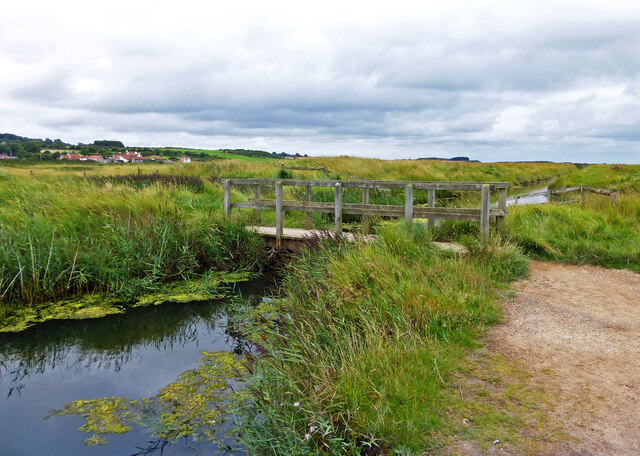
Rising to an elevation of 71 meters above sea level, Great Hulver Hill offers panoramic views of the surrounding countryside. The hill is primarily covered in agricultural fields, with some areas of woodland scattered across its slopes. It is a popular spot for walkers and hikers, who can enjoy the gentle climb to the summit and take in the breathtaking vistas.
Great Hulver Hill is also known for its historical significance. In the past, it was a site of human activity dating back to the Neolithic and Bronze Ages. Archaeological excavations have uncovered various artifacts, including flint tools and pottery fragments, providing valuable insights into the early inhabitants of the area.
The hill is easily accessible, with a public footpath leading up to the summit. Visitors can park their vehicles in designated parking areas nearby and embark on a leisurely hike to the top. Great Hulver Hill offers a tranquil escape from the bustle of urban life, allowing nature enthusiasts to immerse themselves in the beauty of the Norfolk countryside.
If you have any feedback on the listing, please let us know in the comments section below.
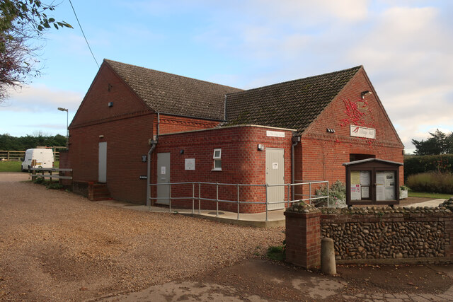
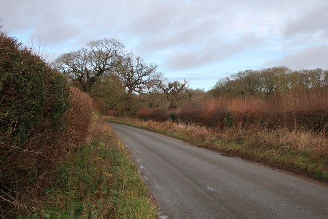
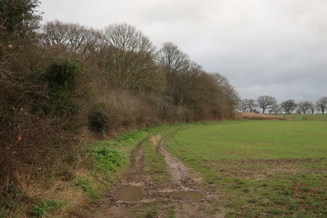
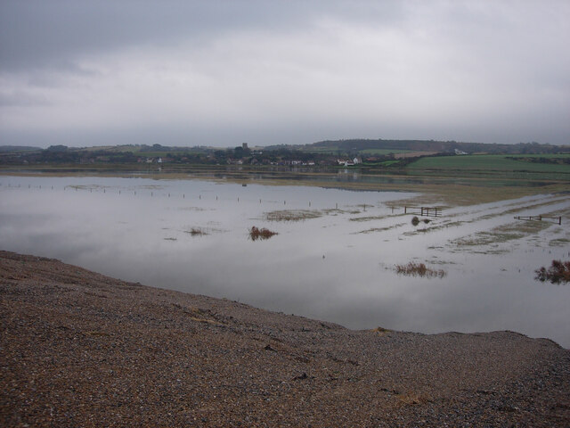
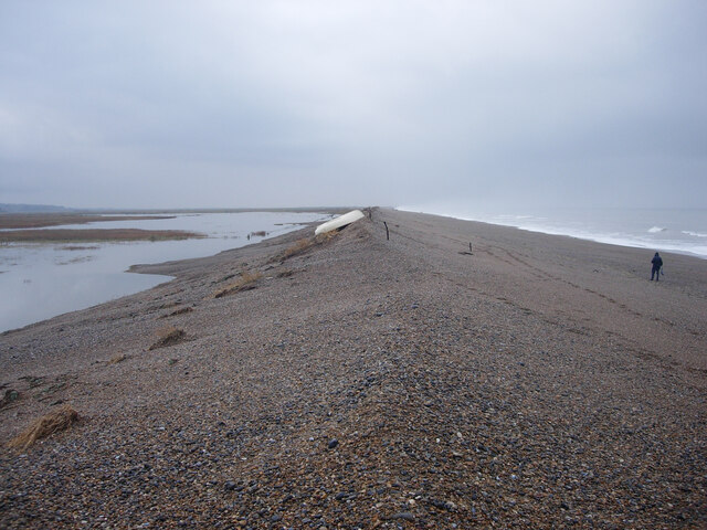
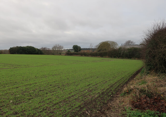
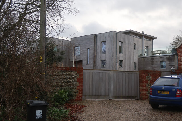
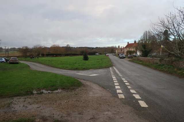
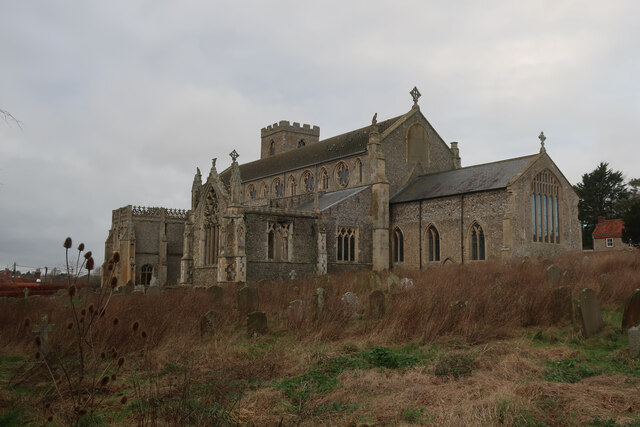
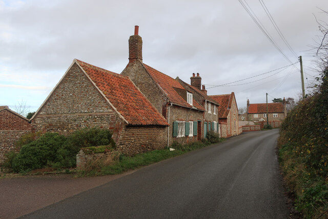
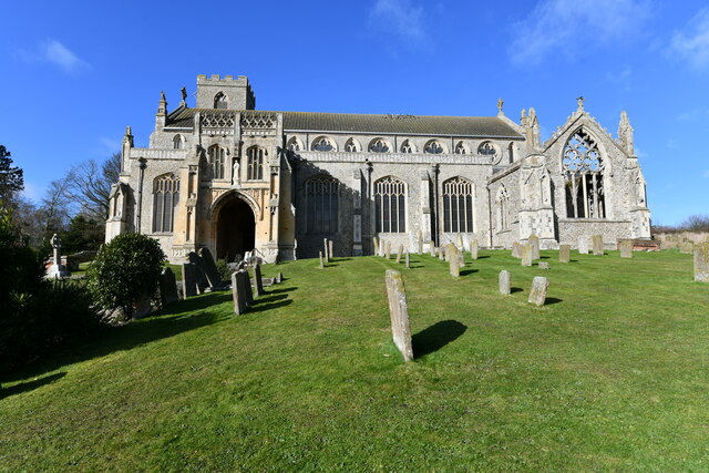
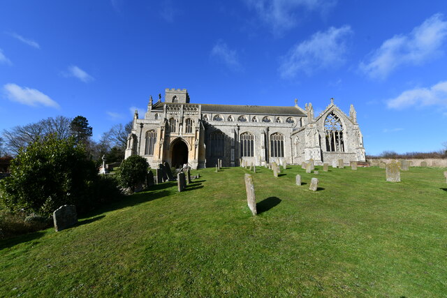
Great Hulver Hill Images
Images are sourced within 2km of 52.946664/1.0714443 or Grid Reference TG0643. Thanks to Geograph Open Source API. All images are credited.

Great Hulver Hill is located at Grid Ref: TG0643 (Lat: 52.946664, Lng: 1.0714443)
Administrative County: Norfolk
District: North Norfolk
Police Authority: Norfolk
What 3 Words
///spooked.anchovies.like. Near Sheringham, Norfolk
Nearby Locations
Related Wikis

Salthouse Marshes
Salthouse Marshes is a 66-hectare (160-acre) nature reserve west of Sheringham in Norfolk. It is managed by the Norfolk Wildlife Trust. It is part of...
Salthouse
Salthouse is a village and a civil parish in the English county of Norfolk. It is situated on the salt marshes of North Norfolk. It is 3.8 miles (6.1 km...
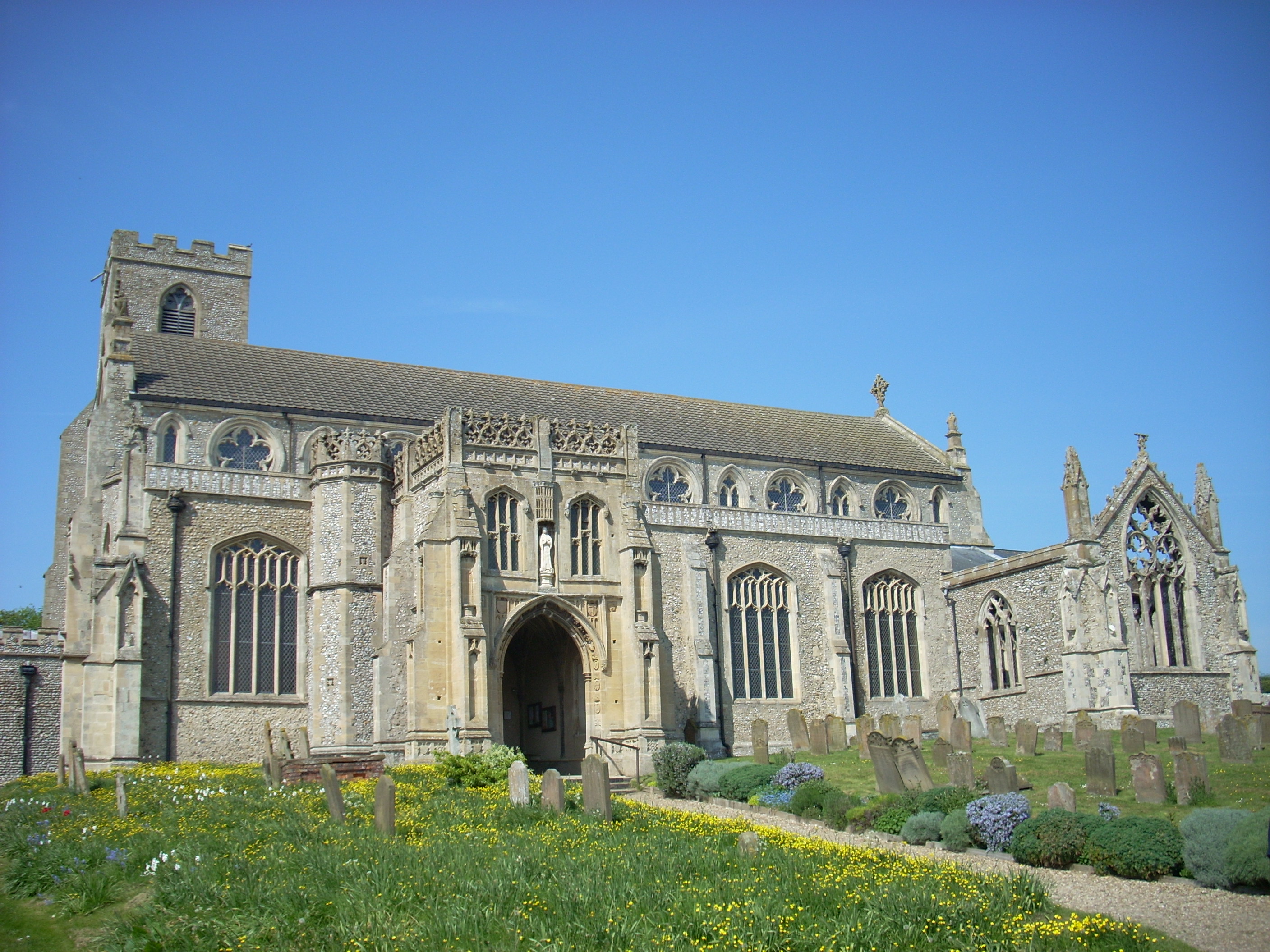
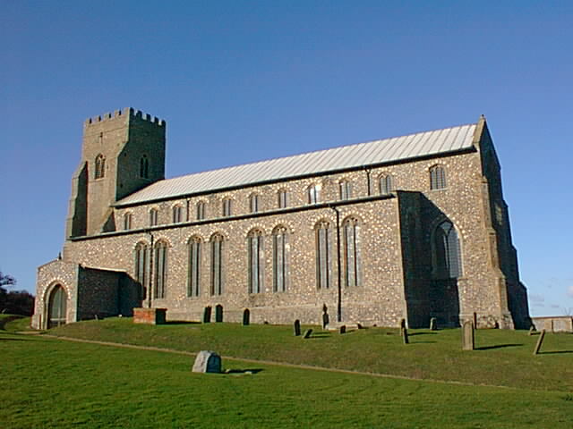
St Margaret's, Cley
St Margaret's is the Anglican parish church of Cley next the Sea, Norfolk, in the deanery of Holt, the Archdeaconry of Lynn and the Diocese of Norwich...

Cley Marshes
Cley Marshes is a 176-hectare (430-acre) nature reserve on the North Sea coast of England just outside the village of Cley next the Sea, Norfolk. A reserve...

Cley Hall
Cley Hall, in Cley next the Sea, Norfolk, is a Grade II listed house in Norfolk. == References == == External links == http://www.mcnamarallp.co.uk/projects/cley...

Airship N.S.11 crash
The Airship NS11 crash was an airship accident which occurred on 15 July 1919. The Royal Air Force (RAF) airship exploded off the east coast of England...
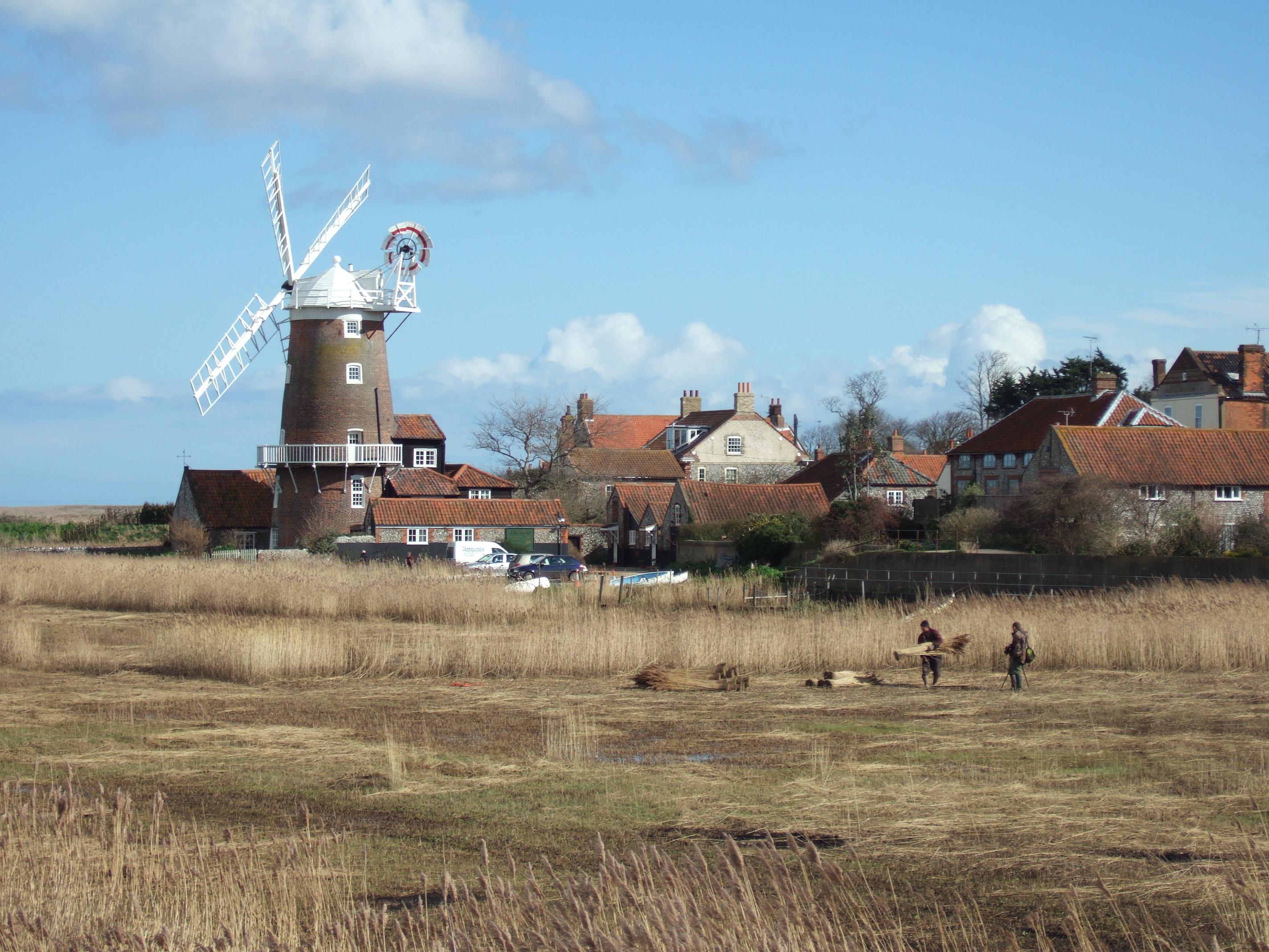
Cley next the Sea
Cley next the Sea (, ) is a village and civil parish on the River Glaven in English county of Norfolk, 4 mi (6 km) north-west of Holt and east of Blakeney...

Glandford (Hurdle Lane)
Glandford (Hurdle Lane) is a 9.4-hectare (23-acre) geological Site of Special Scientific Interest west of Sheringham in Norfolk. It is a Geological Conservation...
Nearby Amenities
Located within 500m of 52.946664,1.0714443Have you been to Great Hulver Hill?
Leave your review of Great Hulver Hill below (or comments, questions and feedback).