Barn Hill

Hill, Mountain in Essex Uttlesford

England

Barn Hill

Little Chesterford church
Little Chesterford church Credit: mym

Barn Hill, located in Essex, England, is a prominent hill that overlooks the picturesque landscape of the county. Standing at an elevation of approximately 101 meters (331 feet), it is considered one of the highest points in the region, offering stunning panoramic views of the surrounding countryside.

The hill is situated near the village of Ongar, specifically within the civil parish of High Ongar. It is a popular destination for outdoor enthusiasts and nature lovers, attracting hikers, walkers, and cyclists who seek to explore its scenic trails and enjoy the peaceful surroundings.

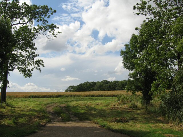
Barn Hill is characterized by its rolling green slopes and is covered with a mixture of grasses, wildflowers, and shrubs, creating a diverse and vibrant ecosystem. The area is home to various species of wildlife, including birds, rabbits, and foxes, providing opportunities for wildlife observation and photography.

At the summit of Barn Hill, there is a trig point and a stone marker, indicating its height and serving as a landmark for visitors. On clear days, the hill provides breathtaking views across the Essex countryside, allowing visitors to see as far as the London skyline and even the Thames Estuary in the distance.

The hill is easily accessible, with a designated car park located nearby, making it a popular spot for day trips and outdoor activities. Whether it be a leisurely walk or a challenging hike, Barn Hill offers a peaceful escape from the hustle and bustle of everyday life, inviting visitors to immerse themselves in the natural beauty of Essex.

If you have any feedback on the listing, please let us know in the comments section below.
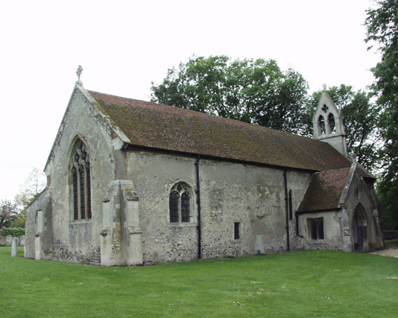
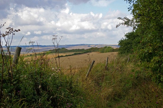
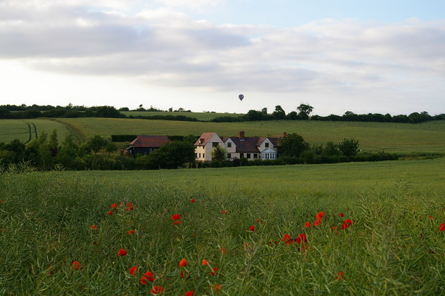
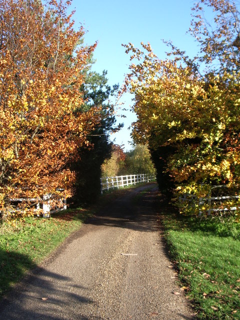
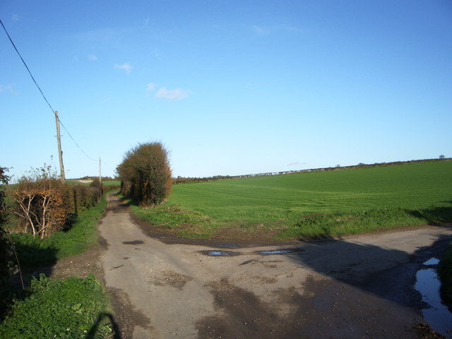
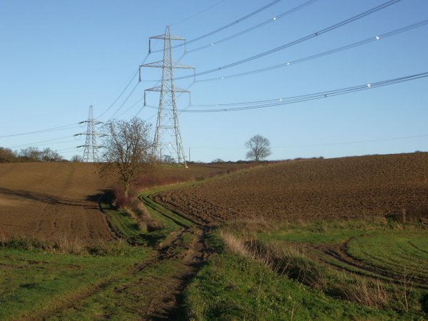
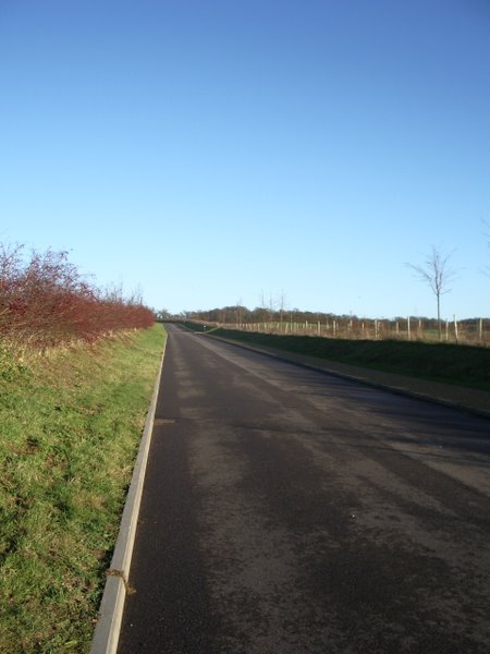
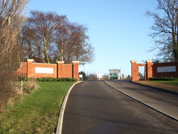
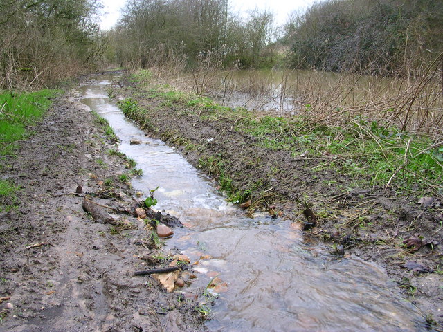
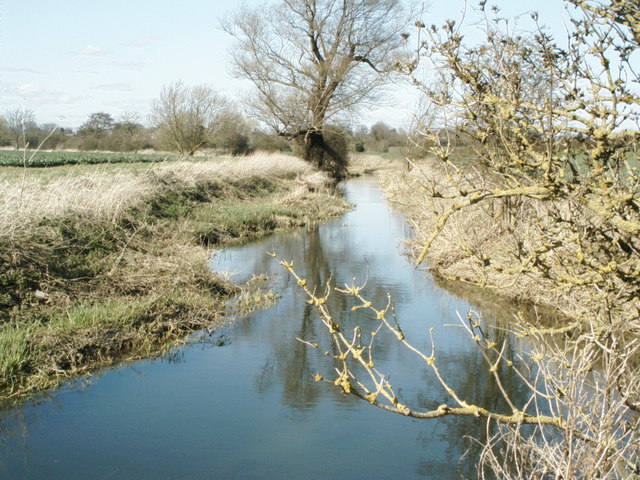
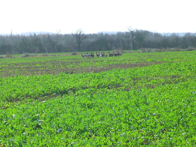
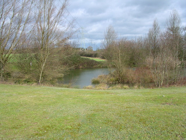
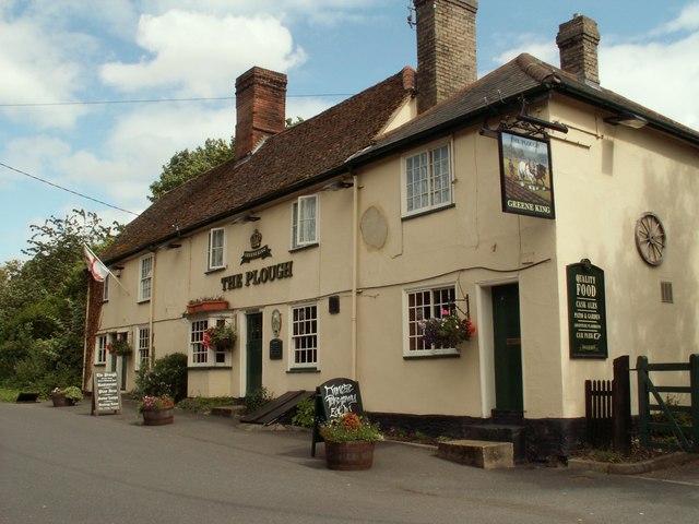
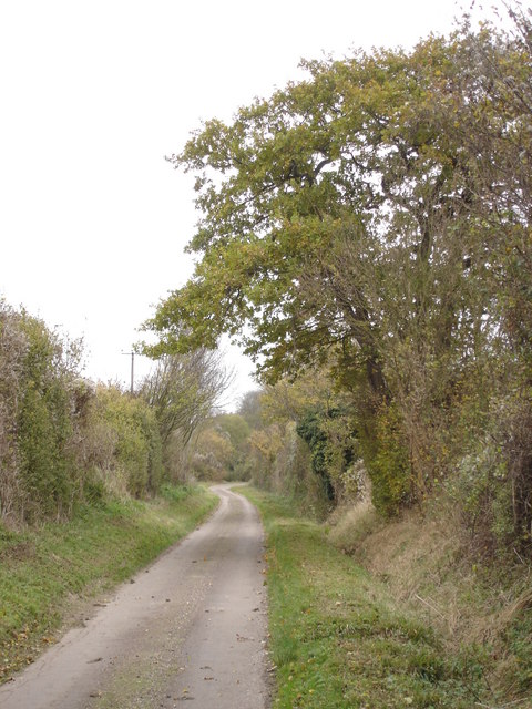
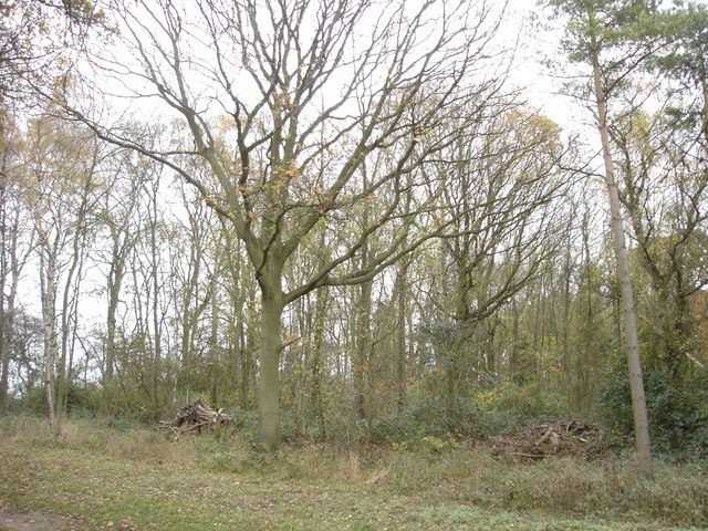
Barn Hill Images

Images are sourced within 2km of 52.062692/0.23013509 or Grid Reference TL5242. Thanks to Geograph Open Source API. All images are credited.

Little Chesterford church
Bridle Path Near Burtonwood Farm This vista is further along the <a href="https://www.geograph.org.uk/photo/221860">TL5443 : Little Walden Path</a> to the southeast of Burtonwood Farm. As you can tell from the length of the grass it is not well used by horses!
Bridle Path Near Burtonwood Farm
This vista is further along the TL5443 : Little Walden Path to the southeast of Burtonwood Farm. As you can tell from the length of the grass it is not well used by horses!
Balloon over Grumble Hall
Bridleway near Crave Hall on Icknield Way
Junction of Cow Lane and Little Cow Lane
The Plough at Great Chesterford
Dells Farm, Great Chesterford
Field track and pylons
New Road to Chesterford Research Park
Gateway to Chesterford Research Park
Foot waterway Shouldn't there be another path for the water? Junction with stream?
Foot waterway
Shouldn't there be another path for the water? Junction with stream?
The River Cam (or Granta) The River Cam (or Granta) near Little Chesterford, Essex
The River Cam (or Granta)
The River Cam (or Granta) near Little Chesterford, Essex
13 deer here This herd is half the size of the one that got away.
13 deer here
This herd is half the size of the one that got away.
Electric pond
Electric pond
'The Plough' inn This has been an inn at Great Chesterford since the 18th century.
'The Plough' inn
This has been an inn at Great Chesterford since the 18th century.
Back to grass roots? View through a gap in the hedgerow adjacent to the access road to the Chesterford Research Park (private).
Back to grass roots?
View through a gap in the hedgerow adjacent to the access road to the Chesterford Research Park (private).
Country lane approaching Burton Wood from the west
Paddock Wood This photograph shows the northern edge of Paddock Wood, viewed from the public bridleway.
Paddock Wood
This photograph shows the northern edge of Paddock Wood, viewed from the public bridleway.
Show me another place!

Barn Hill is located at Grid Ref: TL5242 (Lat: 52.062692, Lng: 0.23013509)

Administrative County: Essex

District: Uttlesford

Police Authority: Essex

What 3 Words

///perusing.tile.shaves. Near Great Chesterford, Essex

Related Wikis

Have you been to Barn Hill?

Leave your review of Barn Hill below (or comments, questions and feedback).