Rynish Plantation
Wood, Forest in Essex Uttlesford
England
Rynish Plantation
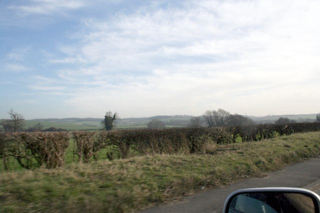
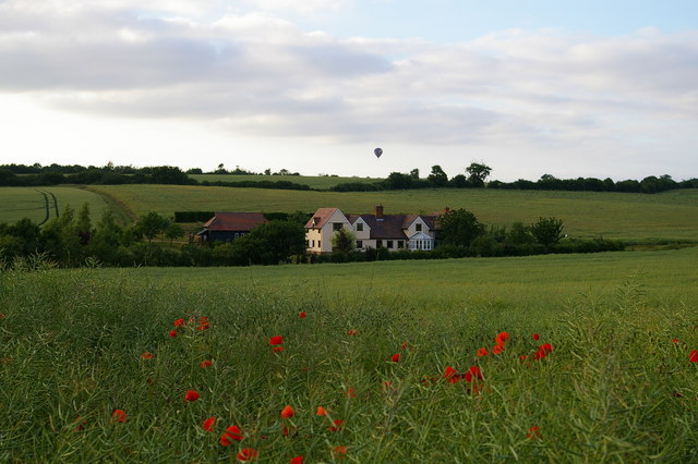
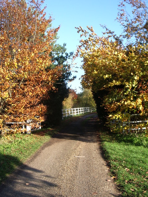
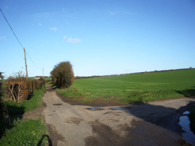
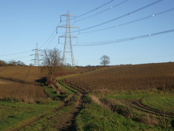
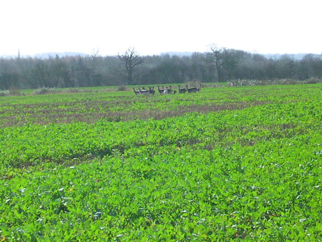
Rynish Plantation is a picturesque woodland located in Essex, England. Situated in the heart of the county, it covers a vast area of approximately 100 hectares and is renowned for its natural beauty and diverse range of flora and fauna.
The plantation primarily consists of dense woodlands, with towering oak, beech, and birch trees dominating the landscape. These ancient trees provide a stunning canopy, creating a serene and tranquil atmosphere within the plantation. Moreover, the woodland floor is adorned with a myriad of wildflowers, ferns, and mosses, adding to the enchanting ambience of the area.
Rynish Plantation is a haven for wildlife, attracting a plethora of species. Birdwatchers can spot a variety of avian creatures, including woodpeckers, owls, and various songbirds. The plantation is also home to small mammals like foxes, rabbits, and squirrels, which can often be seen scurrying about the undergrowth.
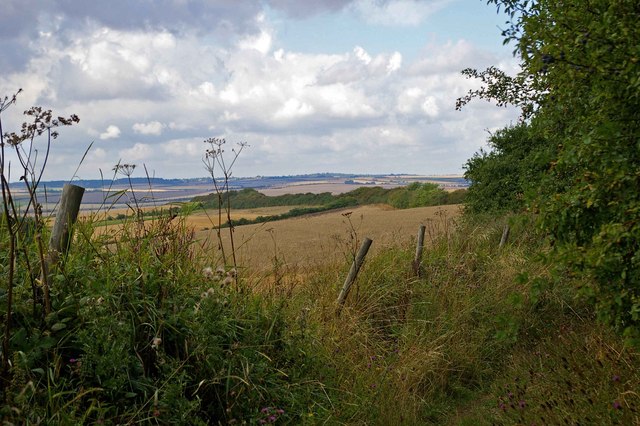
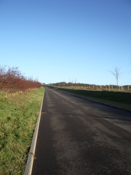
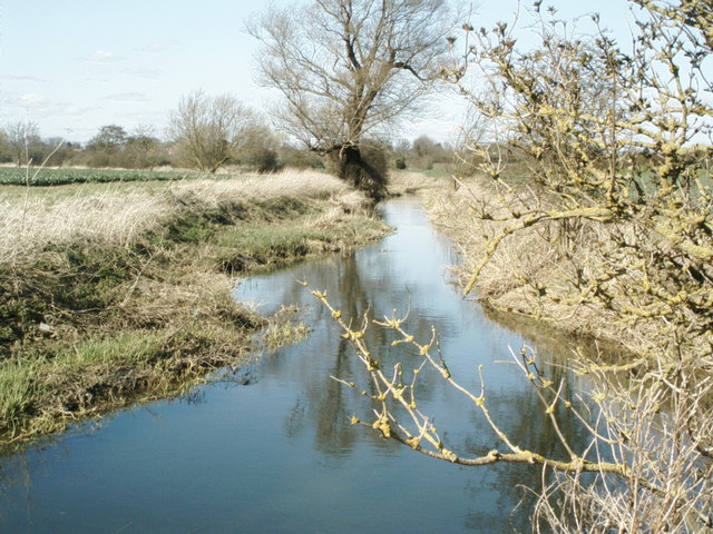
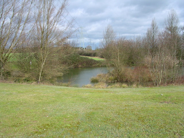
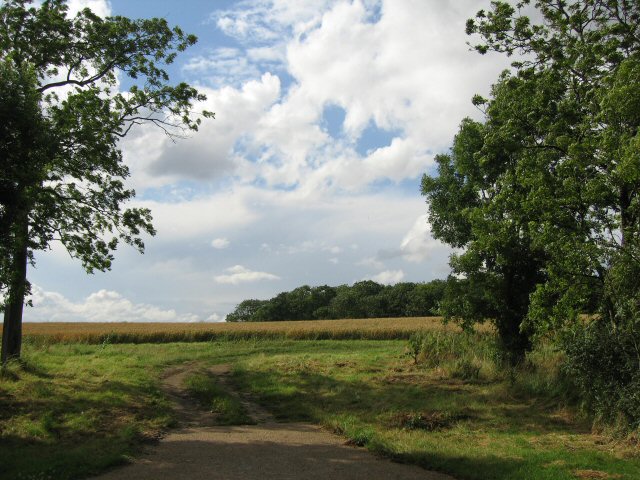
The plantation offers nature enthusiasts and hikers a network of well-maintained trails, allowing visitors to explore the area at their leisure. These trails wind through the woodland, providing captivating views of the surrounding countryside and opportunities to discover hidden gems, such as small ponds and streams.
Rynish Plantation holds significant historical importance as well. It was once a site for timber production, with evidence of old sawmills and charcoal burners still visible. The plantation also played a role in providing wood for the local shipbuilding industry during the 18th and 19th centuries.
Overall, Rynish Plantation is a captivating natural landscape, offering visitors a chance to immerse themselves in the tranquility of the Essex countryside while exploring its rich flora, fauna, and historical heritage.
If you have any feedback on the listing, please let us know in the comments section below.
Rynish Plantation Images
Images are sourced within 2km of 52.061978/0.22222151 or Grid Reference TL5242. Thanks to Geograph Open Source API. All images are credited.


Rynish Plantation is located at Grid Ref: TL5242 (Lat: 52.061978, Lng: 0.22222151)
Administrative County: Essex
District: Uttlesford
Police Authority: Essex
What 3 Words
///empty.poets.touched. Near Great Chesterford, Essex
Nearby Locations
Related Wikis

Little Chesterford
Little Chesterford is a small village and civil parish in Uttlesford, Essex, in the East of England. Close to the Cambridgeshire border, it is built principally...

Great Chesterford
Great Chesterford is a village and civil parish in the Uttlesford district of Essex, England. The village is 13 miles (20 km) north from Bishop's Stortford...

Great Chesterford railway station
Great Chesterford railway station is on the West Anglia Main Line serving the village of Great Chesterford in Essex, England. It is 45 miles 56 chains...

Little Walden
Little Walden is a small settlement in the Uttlesford district, in the English county of Essex. It lies about 3 miles (5 km) north of the market town of...
Wellcome Sanger Institute
The Wellcome Sanger Institute, previously known as The Sanger Centre and Wellcome Trust Sanger Institute, is a non-profit British genomics and genetics...

Hildersham Wood
Hildersham Wood is a 7.7-hectare (19-acre) biological Site of Special Scientific Interest south of Hildersham in Cambridgeshire.The principal trees in...
RAF Little Walden
Royal Air Force Little Walden or more simply RAF Little Walden is a former Royal Air Force station primarily used by the United States Army Air Forces...

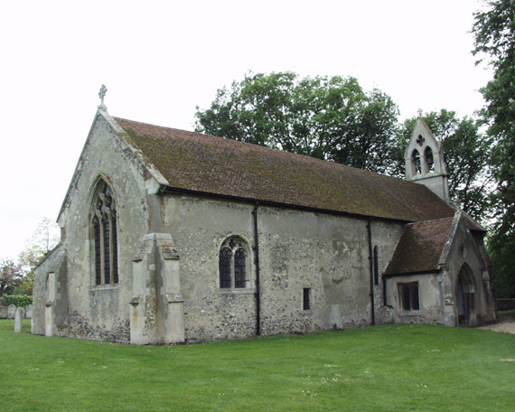
St Mary Magdalene Church, Ickleton
St Mary Magdalene Church is the Church of England parish church in the village of Ickleton in Cambridgeshire. The church is a Grade I listed building....
Nearby Amenities
Located within 500m of 52.061978,0.22222151Have you been to Rynish Plantation?
Leave your review of Rynish Plantation below (or comments, questions and feedback).