Lady Plantation

Wood, Forest in Essex Uttlesford

England

Lady Plantation

Little Chesterford church
Little Chesterford church Credit: mym

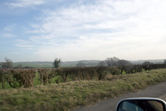
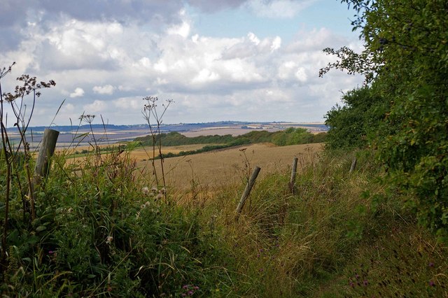
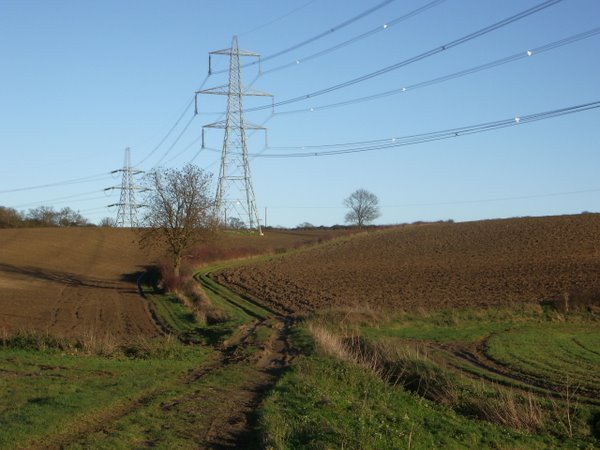
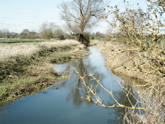
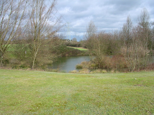
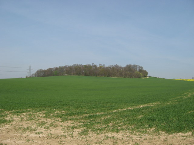
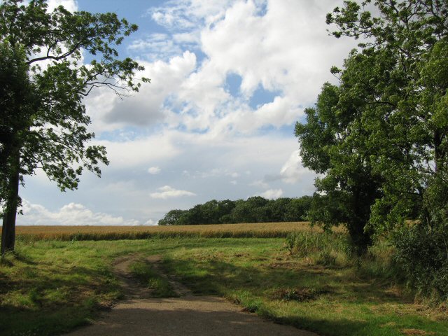
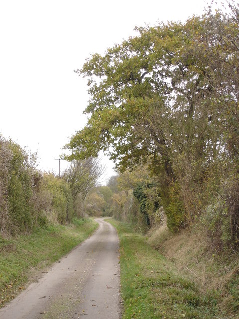
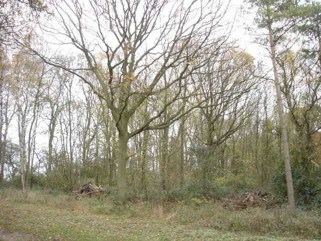
Lady Plantation is a charming woodland located in Essex, England. Situated in the heart of the county, the plantation is part of the vast forested area known as Epping Forest. Covering an area of approximately 100 acres, Lady Plantation offers a tranquil and picturesque setting for visitors to explore.

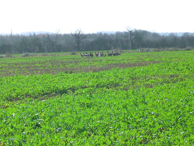
The woodland is primarily composed of native broadleaf trees, such as oak, beech, and birch, creating a diverse and vibrant ecosystem. The dense canopy provides a sheltered habitat for a wide range of flora and fauna, including various bird species, insects, and small mammals.

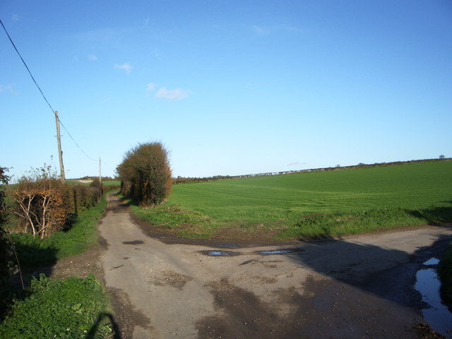
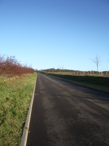
Lady Plantation features well-maintained footpaths that wind through the woods, allowing visitors to take leisurely strolls and immerse themselves in the natural beauty of the surroundings. The woodland is particularly popular among hikers, nature enthusiasts, and families seeking a peaceful escape from the bustling city life.

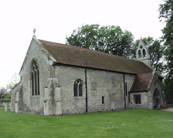
Apart from its natural charm, Lady Plantation also holds historical significance. The plantation was once part of the hunting grounds of the Tudor monarchs and has a rich cultural heritage. Visitors can stumble upon remnants of old stone structures and discover hidden historical landmarks while exploring the woodland.

Overall, Lady Plantation offers a serene and enchanting experience for those seeking a connection with nature or a glimpse into the region's past. With its lush vegetation, well-maintained trails, and historical intrigue, this woodland is a must-visit destination for both locals and tourists alike.

If you have any feedback on the listing, please let us know in the comments section below.

Lady Plantation Images

Images are sourced within 2km of 52.058142/0.22440888 or Grid Reference TL5242. Thanks to Geograph Open Source API. All images are credited.

Little Chesterford church
The Green, Great Chesterford, Essex
Hills near Little Chesterford
Bridle Path Near Burtonwood Farm This vista is further along the <a href="https://www.geograph.org.uk/photo/221860">TL5443 : Little Walden Path</a> to the southeast of Burtonwood Farm. As you can tell from the length of the grass it is not well used by horses!
Bridle Path Near Burtonwood Farm
This vista is further along the TL5443 : Little Walden Path to the southeast of Burtonwood Farm. As you can tell from the length of the grass it is not well used by horses!
Junction of Cow Lane and Little Cow Lane
The Plough at Great Chesterford
Field track and pylons
New Road to Chesterford Research Park
Gateway to Chesterford Research Park
The River Cam (or Granta) The River Cam (or Granta) near Little Chesterford, Essex
The River Cam (or Granta)
The River Cam (or Granta) near Little Chesterford, Essex
13 deer here This herd is half the size of the one that got away.
13 deer here
This herd is half the size of the one that got away.
Electric pond
Electric pond
Farmland on the Audley Estate Farmland on the Audley Estate. High Balks copse at the top of the hill.
Farmland on the Audley Estate
Farmland on the Audley Estate. High Balks copse at the top of the hill.
'The Plough' inn This has been an inn at Great Chesterford since the 18th century.
'The Plough' inn
This has been an inn at Great Chesterford since the 18th century.
Back to grass roots? View through a gap in the hedgerow adjacent to the access road to the Chesterford Research Park (private).
Back to grass roots?
View through a gap in the hedgerow adjacent to the access road to the Chesterford Research Park (private).
Country lane approaching Burton Wood from the west
Paddock Wood This photograph shows the northern edge of Paddock Wood, viewed from the public bridleway.
Paddock Wood
This photograph shows the northern edge of Paddock Wood, viewed from the public bridleway.
Old Milepost Old milepost near to Little Chesterford, Essex on what was the old A.11. For close up view see <a title="https://www.geograph.org.uk/photo/1276325" href="https://www.geograph.org.uk/photo/1276325">Link</a> for info on the post see <span class="nowrap"><a title="http://milestones.megalithia.com/sites/tl513418.htm" rel="nofollow ugc noopener" href="http://milestones.megalithia.com/sites/tl513418.htm">Link</a><img style="margin-left:2px;" alt="External link" title="External link - shift click to open in new window" src="https://s1.geograph.org.uk/img/external.png" width="10" height="10"/></span> do look at their home page.
Old Milepost
Old milepost near to Little Chesterford, Essex on what was the old A.11. For close up view see Link for info on the post see LinkExternal link do look at their home page.
Show me another place!

Lady Plantation is located at Grid Ref: TL5242 (Lat: 52.058142, Lng: 0.22440888)

Administrative County: Essex

District: Uttlesford

Police Authority: Essex

What 3 Words

///kept.stocked.saturate. Near Great Chesterford, Essex

Related Wikis

Little Chesterford

Little Chesterford is a small village and civil parish in Uttlesford, Essex, in the East of England. Close to the Cambridgeshire border, it is built principally...

Great Chesterford

Great Chesterford is a village and civil parish in the Uttlesford district of Essex, England. The village is 13 miles (20 km) north from Bishop's Stortford...

Great Chesterford railway station

Great Chesterford railway station is on the West Anglia Main Line serving the village of Great Chesterford in Essex, England. It is 45 miles 56 chains...

Little Walden

Little Walden is a small settlement in the Uttlesford district, in the English county of Essex. It lies about 3 miles (5 km) north of the market town of...

Littlebury

Littlebury is a village and civil parish in the Uttlesford district, north-west Essex, England. The village is approximately a mile and a half from the...

RAF Little Walden

Royal Air Force Little Walden or more simply RAF Little Walden is a former Royal Air Force station primarily used by the United States Army Air Forces...

Wellcome Sanger Institute

The Wellcome Sanger Institute, previously known as The Sanger Centre and Wellcome Trust Sanger Institute, is a non-profit British genomics and genetics...

Hildersham Wood

Hildersham Wood is a 7.7-hectare (19-acre) biological Site of Special Scientific Interest south of Hildersham in Cambridgeshire.The principal trees in...

Nearby Amenities

Located within 500m of 52.058142,0.22440888
Chester ford Research Park Entrance
Barrier: lift_gate
Lat/Long: 52.0568358/0.2274301
Barrier: lift_gate
Lat/Long: 52.0567248/0.2271605
Power: pole
Lat/Long: 52.0584289/0.2191167
Power: pole
Lat/Long: 52.0578733/0.2204385
Power: pole
Lat/Long: 52.0573521/0.2215126
Power: pole
Lat/Long: 52.0567764/0.2228202
Power: pole
Lat/Long: 52.0562265/0.2240811
Power: pole
Lat/Long: 52.0557742/0.2250782
Power: pole
Lat/Long: 52.0549726/0.2255677
Power: pole
Lat/Long: 52.0541644/0.2260639
Power: pole
Lat/Long: 52.058905/0.2180655
The data included in this document is from www.openstreetmap.org. The data is made available under ODbL.

Have you been to Lady Plantation?

Leave your review of Lady Plantation below (or comments, questions and feedback).