Mickleberry Hill

Hill, Mountain in Lincolnshire East Lindsey

England

Mickleberry Hill

Flush Bracket OSBM G4681: Hogsthorpe Flush bracket bench mark on a former post office, now a private house.  See <a title="https://www.geograph.org.uk/photo/6911609" href="https://www.geograph.org.uk/photo/6911609">Link</a> for a wider view and <span class="nowrap"><a title="https://www.bench-marks.org.uk/bm13494" rel="nofollow ugc noopener" href="https://www.bench-marks.org.uk/bm13494">Link</a><img style="margin-left:2px;" alt="External link" title="External link - shift click to open in new window" src="https://s1.geograph.org.uk/img/external.png" width="10" height="10"/></span> for details of the mark.
Flush Bracket OSBM G4681: Hogsthorpe Credit: Brian Westlake

Mickleberry Hill is a prominent geographical feature located in the county of Lincolnshire, England. Situated near the small village of Mickleberry, this hill is a noteworthy landmark in the region. Although referred to as a hill, it is important to note that it does not meet the technical definition of a mountain.

Mickleberry Hill stands at an elevation of approximately 150 meters (492 feet) above sea level. It is characterized by its gently sloping sides and a relatively flat top, providing visitors with panoramic views of the surrounding countryside. The hill is largely covered with lush green grass and scattered with trees, offering a picturesque and tranquil setting.

The area surrounding Mickleberry Hill is primarily agricultural, with vast fields of crops and livestock grazing on the surrounding farmland. The hill itself is not heavily developed, and there are no significant man-made structures or facilities atop it. This adds to its natural beauty and preserves its untouched ambiance.

Mickleberry Hill is a popular destination for hikers, nature enthusiasts, and those seeking a peaceful retreat. Its location away from major towns and cities contributes to its serene atmosphere, and visitors can enjoy the tranquility and solitude of the countryside.

Overall, Mickleberry Hill is a charming natural feature in Lincolnshire, offering breathtaking views and a serene environment for those who appreciate the beauty of the English countryside.

If you have any feedback on the listing, please let us know in the comments section below.

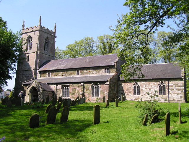
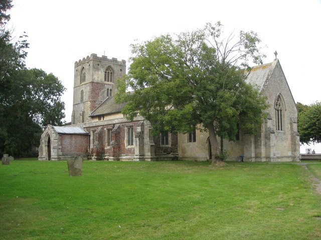
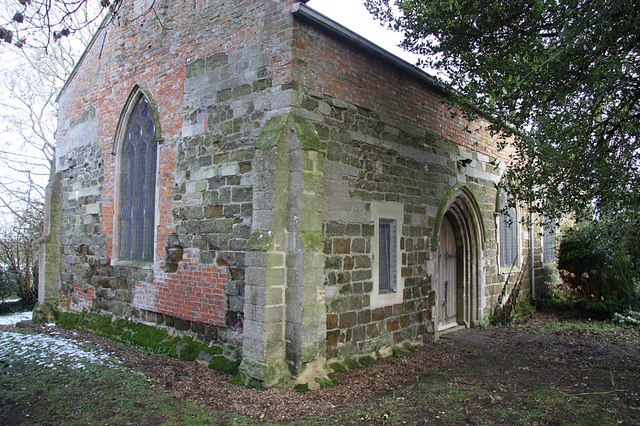
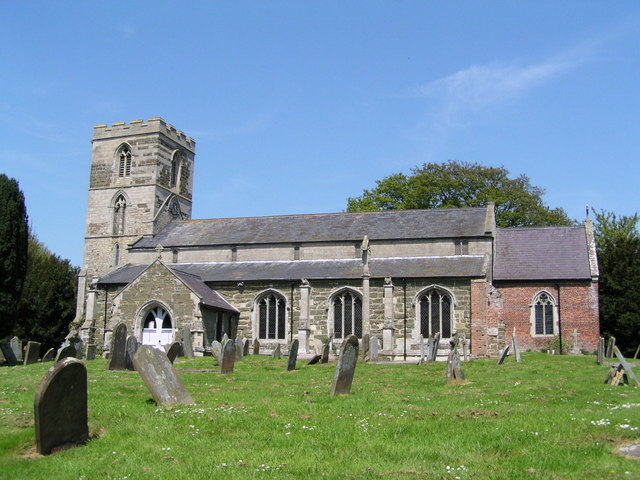
Mickleberry Hill Images

Images are sourced within 2km of 53.236803/0.28881714 or Grid Reference TF5273. Thanks to Geograph Open Source API. All images are credited.

Flush Bracket OSBM G4681: Hogsthorpe Flush bracket bench mark on a former post office, now a private house.  See <a title="https://www.geograph.org.uk/photo/6911609" href="https://www.geograph.org.uk/photo/6911609">Link</a> for a wider view and <span class="nowrap"><a title="https://www.bench-marks.org.uk/bm13494" rel="nofollow ugc noopener" href="https://www.bench-marks.org.uk/bm13494">Link</a><img style="margin-left:2px;" alt="External link" title="External link - shift click to open in new window" src="https://s1.geograph.org.uk/img/external.png" width="10" height="10"/></span> for details of the mark.
Flush Bracket OSBM G4681: Hogsthorpe
Flush bracket bench mark on a former post office, now a private house. See Link for a wider view and LinkExternal link for details of the mark.
House with a Benchmark There is a flush bracket bench mark on this house, a former post office.  It is located behind the gas cylinder.  See <a title="https://www.geograph.org.uk/photo/6911604" href="https://www.geograph.org.uk/photo/6911604">Link</a> for a closer view and <span class="nowrap"><a title="https://www.bench-marks.org.uk/bm13494" rel="nofollow ugc noopener" href="https://www.bench-marks.org.uk/bm13494">Link</a><img style="margin-left:2px;" alt="External link" title="External link - shift click to open in new window" src="https://s1.geograph.org.uk/img/external.png" width="10" height="10"/></span> for details of the mark.
House with a Benchmark
There is a flush bracket bench mark on this house, a former post office. It is located behind the gas cylinder. See Link for a closer view and LinkExternal link for details of the mark.
St Mary's church, Hogsthorpe View from the road, to the north.
St Mary's church, Hogsthorpe
View from the road, to the north.
Interior, St Mary's church, Hogsthorpe Looking east towards the chancel.
It is unusual to see fluorescent strip lights in a church!
Interior, St Mary's church, Hogsthorpe
Looking east towards the chancel. It is unusual to see fluorescent strip lights in a church!
Organ, St Mary's church, Hogsthorpe Organ with two manuals and pedals by Thomas S. Jones and Son, installed second hand from Mablethorpe church, circa 1950. It has 9 stops.
Organ, St Mary's church, Hogsthorpe
Organ with two manuals and pedals by Thomas S. Jones and Son, installed second hand from Mablethorpe church, circa 1950. It has 9 stops.
Chancel, St Mary's church, Hogsthorpe Plain 19th C. chancel.
Chancel, St Mary's church, Hogsthorpe
Plain 19th C. chancel.
Stained glass window, St Mary's church, Hogsthorpe Window depicting "Suffer little children" dated 1905.
Stained glass window, St Mary's church, Hogsthorpe
Window depicting "Suffer little children" dated 1905.
Stained glass window, St Mary's church, Hogsthorpe Depicting Mary and child, and St John.
20th C.
Stained glass window, St Mary's church, Hogsthorpe
Depicting Mary and child, and St John. 20th C.
Font, St Mary's church, Hogsthorpe Surrounded by books during a Churches Festival.
Font, St Mary's church, Hogsthorpe
Surrounded by books during a Churches Festival.
The Red Lion, Mumby
The Red Lion, Mumby
Drain near Mumby
Drain near Mumby
Drain and farm machinery, Langham Road, Mumby
Footpath and drain off Ember Lane The footpath isn't marked on OS.
Footpath and drain off Ember Lane
The footpath isn't marked on OS.
Shed and track off Ember Lane
Drain off Langham Lane
Grass field and Mill House, Hogsthorpe
Graveyard and St Andrew's church, Anderby
Wesleyan Chapel, Hogsthorpe, Lincs Erected in South End in 1863.
Wesleyan Chapel, Hogsthorpe, Lincs
Erected in South End in 1863.
Show me another place!

Mickleberry Hill is located at Grid Ref: TF5273 (Lat: 53.236803, Lng: 0.28881714)

Administrative County: Lincolnshire

District: East Lindsey

Police Authority: Lincolnshire

What 3 Words

///strain.munch.pricier. Near Chapel St Leonards, Lincolnshire

Nearby Locations

Mickleberry Hill

Related Wikis

Helsey

Helsey is a hamlet in the civil parish of Mumby, and the East Lindsey district of Lincolnshire, England. It lies on the A52 1 mile (1.6 km) north-east...

Mumby

Mumby is a village in the East Lindsey district of Lincolnshire, England. It is located 4 miles (6 km) south-east from the town of Alford. In 2001 the...

Hogsthorpe

Hogsthorpe is a small village in the East Lindsey district of Lincolnshire, England. It is situated approximately 2 miles (3 km) from the North Sea and...

Anderby

Anderby is a village and civil parish in the East Lindsey district of Lincolnshire, England. It has a population of 335, according to the 2001 Census....

Cumberworth

Cumberworth is a small village and civil parish in the East Lindsey district of Lincolnshire, England. It is situated approximately 3 miles (5 km) south...

Huttoft

Huttoft is a village in the East Lindsey district of Lincolnshire, England, about 4 miles (6 km) east of the market town of Alford, on the A52 road between...

Anderby Creek

Anderby Creek is a small holiday village in Lincolnshire, England, to the north of Skegness. Part of the parish of Anderby, it is on the North Sea coast...

Chapel St Leonards

Chapel St. Leonards is a seaside resort village and civil parish in the East Lindsey district of Lincolnshire, England. It is situated 5 miles (8 km) north...

Nearby Amenities

Located within 500m of 53.236803,0.28881714
Langham House Farm
Place: farm
Source: Bing
Lat/Long: 53.2396144/0.2940275
Lowgate Farm
Place: farm
Source: Bing
Lat/Long: 53.2350741/0.2944711
Meadow Side
Place: isolated_dwelling
Source: Bing
Lat/Long: 53.2397386/0.2910447
Mickleberry Hill
Ele: 9
Place: locality
Source: Bing
Lat/Long: 53.2366697/0.2884242
The data included in this document is from www.openstreetmap.org. The data is made available under ODbL.

Have you been to Mickleberry Hill?

Leave your review of Mickleberry Hill below (or comments, questions and feedback).