Westerham Heights
Hill, Mountain in Kent Sevenoaks
England
Westerham Heights
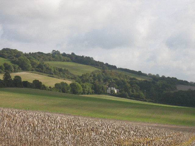
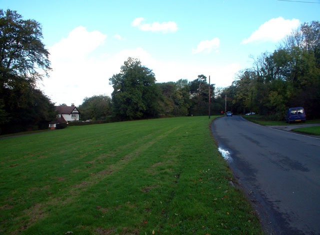
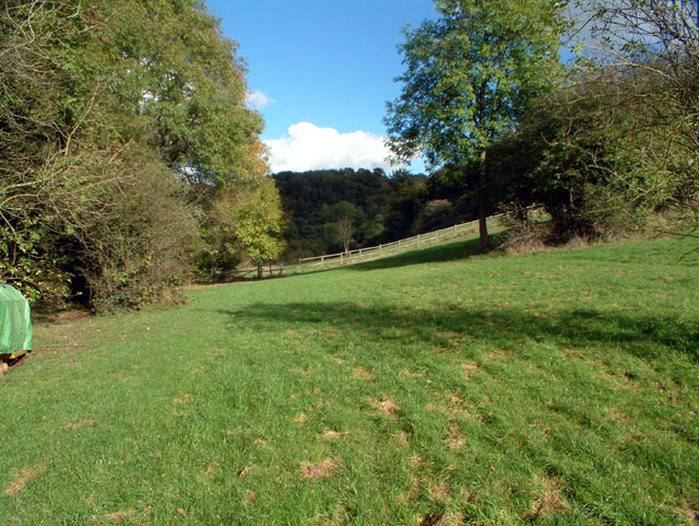
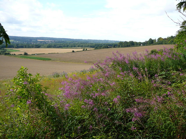
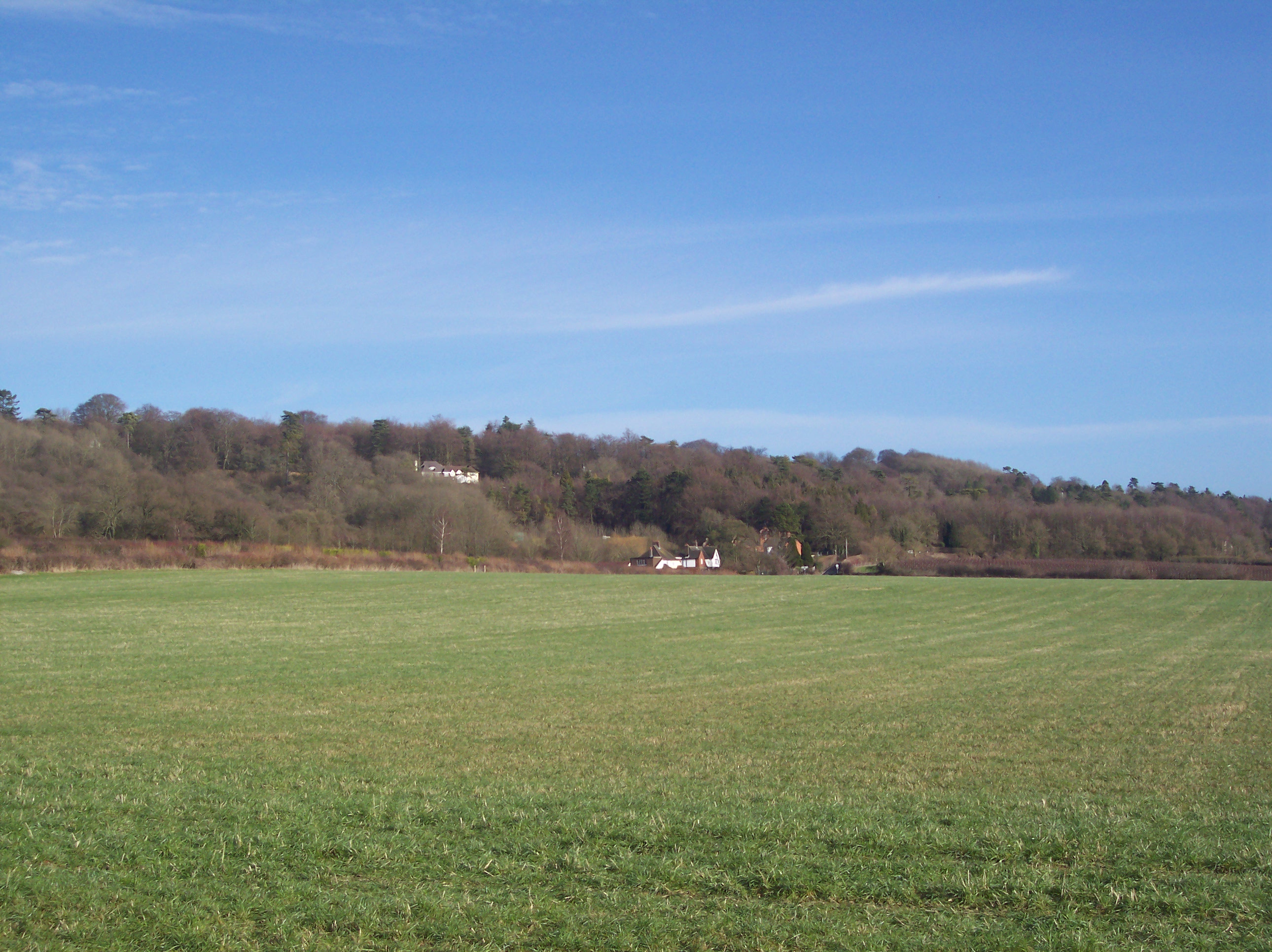
Westerham Heights is a prominent hill located in the district of Kent, England. Situated in the North Downs range, it is part of the beautiful countryside that characterizes this region. With an elevation of approximately 235 meters (771 feet), Westerham Heights offers stunning panoramic views of the surrounding landscape.
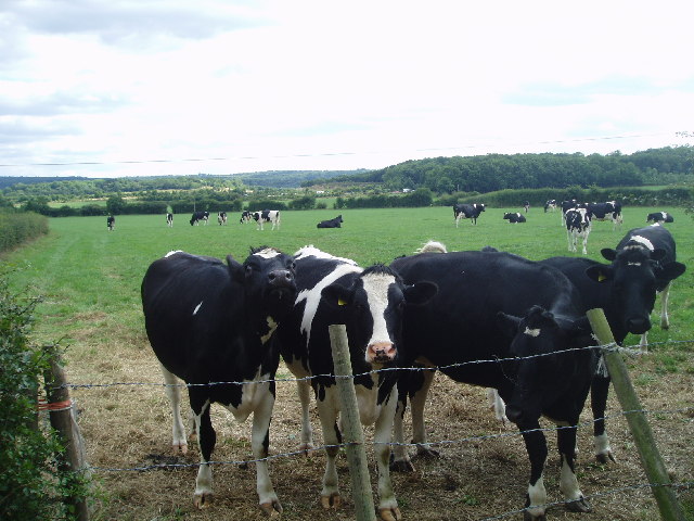
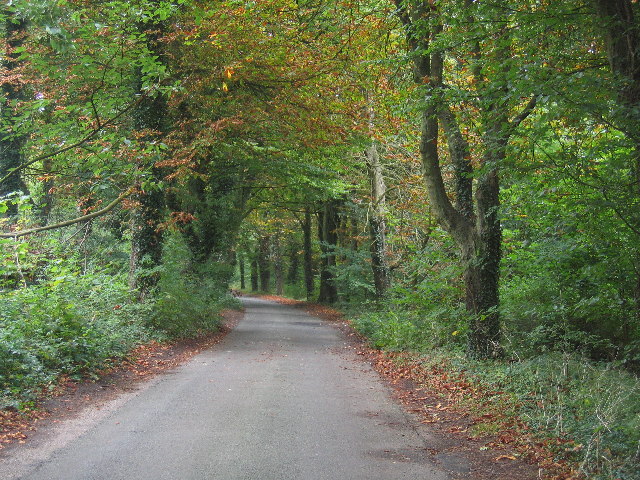
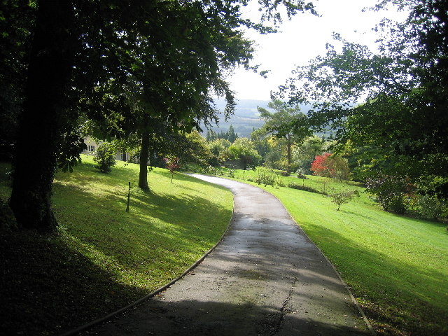
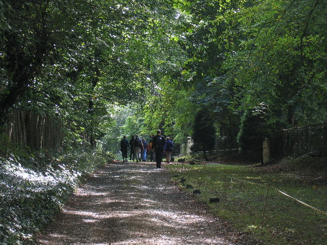
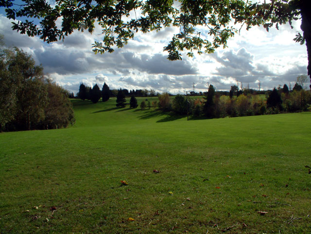
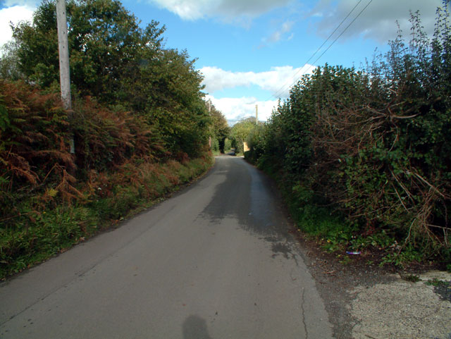
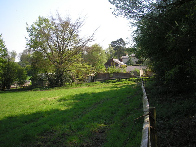
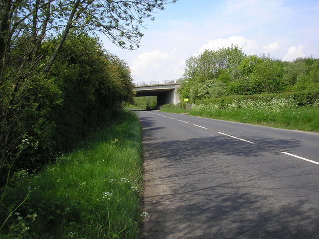
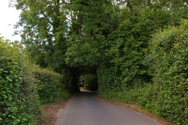
Covered in lush greenery, the hill is a popular destination for outdoor enthusiasts and nature lovers. It boasts a diverse range of flora and fauna, including different species of wildflowers, birds, and small mammals. The hill is home to several walking trails, providing visitors with the opportunity to explore its natural beauty while enjoying a peaceful and scenic environment.
The area surrounding Westerham Heights is steeped in history. It is believed that the hill played a significant role during the Roman occupation of Britain, serving as a strategic lookout point. Additionally, remnants of Iron Age settlements have been discovered in the vicinity, adding to its historical importance.
Westerham Heights also holds cultural significance. The hill is located near the town of Westerham, which is famous for being the birthplace of Sir Winston Churchill. Visitors can explore the nearby Churchill family home, Chartwell House, which has been preserved as a museum dedicated to the life and legacy of the renowned British statesman.
Overall, Westerham Heights in Kent offers a blend of natural beauty, historical significance, and cultural attractions, making it a must-visit destination for anyone seeking to immerse themselves in the rich heritage of this picturesque region.
If you have any feedback on the listing, please let us know in the comments section below.
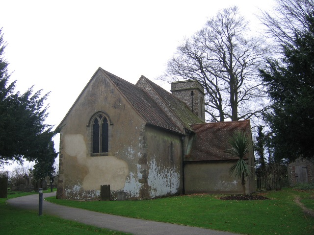
Westerham Heights Images
Images are sourced within 2km of 51.289358/0.058372523 or Grid Reference TQ4356. Thanks to Geograph Open Source API. All images are credited.


Westerham Heights is located at Grid Ref: TQ4356 (Lat: 51.289358, Lng: 0.058372523)
Administrative County: Kent
District: Sevenoaks
Police Authority: Kent
What 3 Words
///bands.cubs.piper. Near Westerham, Kent
Nearby Locations
Related Wikis
Betsom's Hill
Betsom's Hill is a hill on the North Downs, and the highest point in the county of Kent at 251 metres (823 ft). Situated between Westerham and Tatsfield...

Pilgrims' Way
The Pilgrims' Way (also Pilgrim's Way or Pilgrims Way) is the historical route supposedly taken by pilgrims from Winchester in Hampshire, England, to the...

South Street, Bromley
South Street is a hamlet in the far south of the London Borough of Bromley, 16.5 miles (27 km) south south-east from Charing Cross. It is the highest settlement...

Westerham Wood
Westerham Wood is a 43.2 hectares (107 acres) biological Site of Special Scientific Interest north of Westerham in Kent.This ancient oak wood on Gault...

Westerham
Westerham is a town and civil parish in the Sevenoaks District of Kent, England. It is located 3.4 miles east of Oxted and 6 miles west of Sevenoaks, adjacent...

Aperfield
Aperfield is a hamlet and area in London, England, within the London Borough of Bromley, 16.2 miles (26 km) south-southeast of Charing Cross, and outside...

Tatsfield
Tatsfield is a village and civil parish in the Tandridge District of Surrey, England. It is located 3.3 miles north west of Westerham and 3.9 miles north...
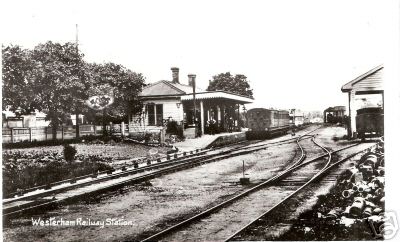
Westerham railway station
Westerham railway station served the village of Westerham in Kent from 1881 until its closure in 1961. == History == No railway was ever constructed all...
Nearby Amenities
Located within 500m of 51.289358,0.058372523Have you been to Westerham Heights?
Leave your review of Westerham Heights below (or comments, questions and feedback).