Whitelands Shaw
Wood, Forest in Kent Sevenoaks
England
Whitelands Shaw
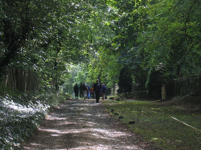
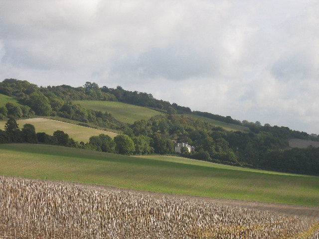
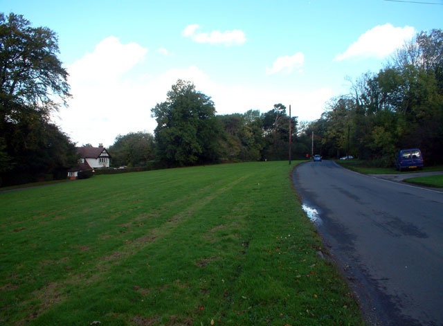
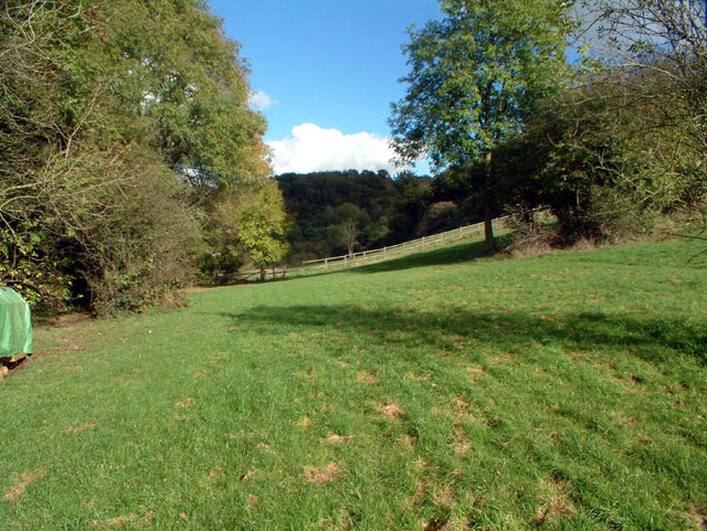
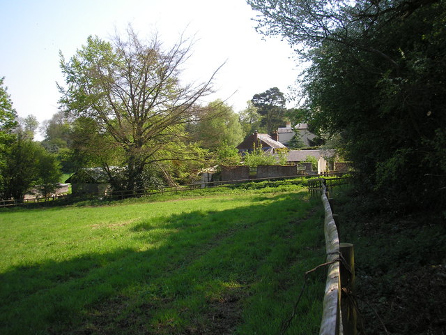
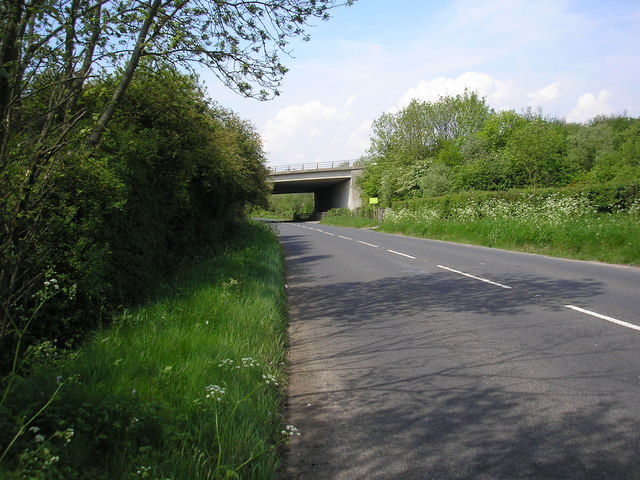
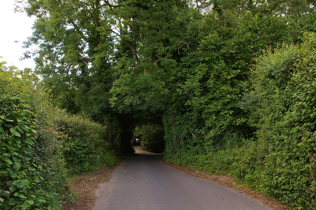
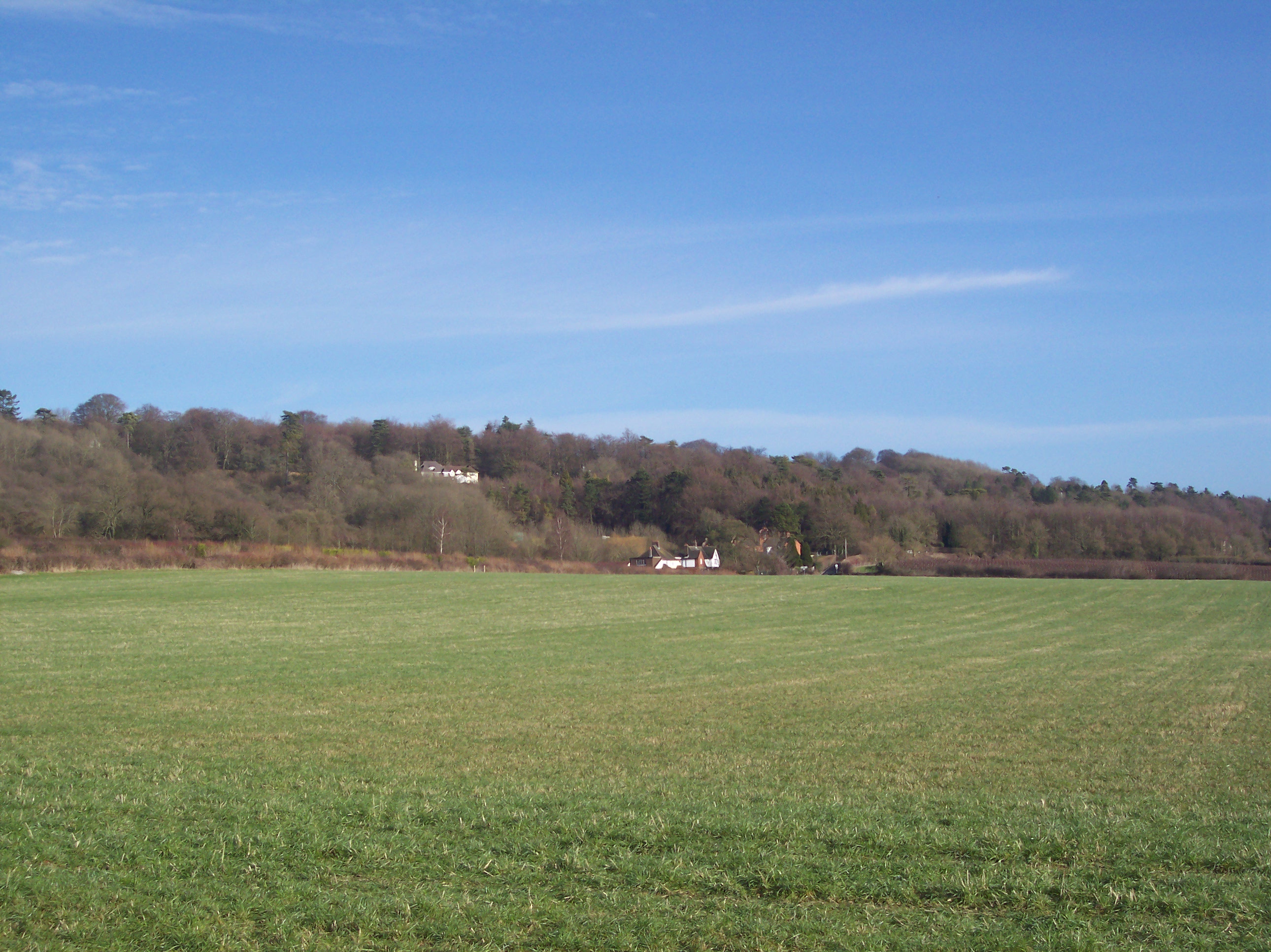
Whitelands Shaw, located in Kent, England, is a picturesque woodland situated within the larger Whitelands Forest. Covering an area of approximately 100 acres, this natural haven boasts a diverse range of plant and animal species, making it an ideal destination for nature enthusiasts and outdoor adventurers alike.
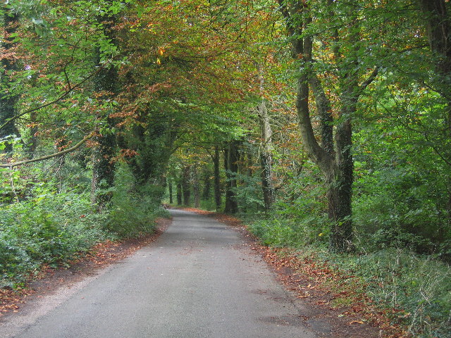
The woodland itself is characterized by a dense canopy of trees, primarily consisting of oak, beech, and birch. These towering giants provide ample shade and create a serene atmosphere, making it a popular spot for peaceful walks and picnics. The forest floor is blanketed with a rich carpet of mosses, ferns, and wildflowers, adding to the overall beauty of the area.
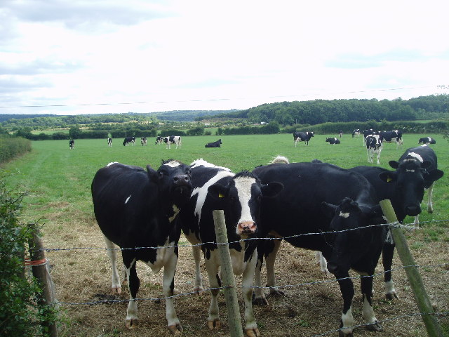
Whitelands Shaw is not only visually appealing but also serves as a vital habitat for numerous wildlife species. Deer, squirrels, and rabbits can often be spotted darting among the trees, while a variety of bird species, including woodpeckers and owls, can be heard and seen throughout the woodland.
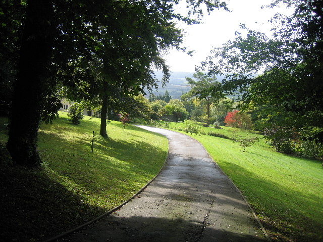
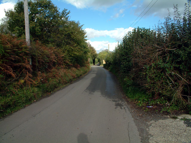
The forest is crisscrossed by a network of well-maintained trails, allowing visitors to explore and appreciate the natural wonders of the area. Whether one is an avid hiker, a nature photographer, or simply seeking a quiet escape from the hustle and bustle of everyday life, Whitelands Shaw offers something for everyone.
To ensure the preservation of this natural gem, the woodland is managed by a team of conservationists who work tirelessly to maintain its ecological balance and protect its biodiversity. Educational programs and guided tours are also offered to promote awareness and understanding of the importance of sustainable conservation.
In conclusion, Whitelands Shaw in Kent, with its stunning woodland and abundant wildlife, provides an enchanting escape into nature for all who visit.
If you have any feedback on the listing, please let us know in the comments section below.
Whitelands Shaw Images
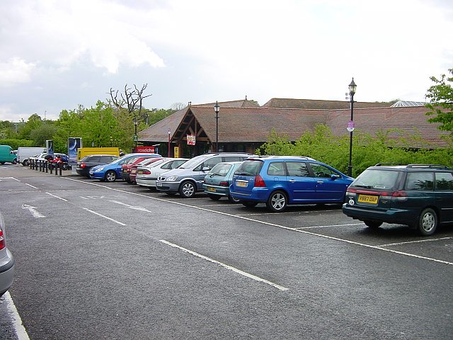
Images are sourced within 2km of 51.285579/0.055908998 or Grid Reference TQ4356. Thanks to Geograph Open Source API. All images are credited.


Whitelands Shaw is located at Grid Ref: TQ4356 (Lat: 51.285579, Lng: 0.055908998)
Administrative County: Kent
District: Sevenoaks
Police Authority: Kent
What 3 Words
///flat.youth.cheer. Near Westerham, Kent
Nearby Locations
Related Wikis
Betsom's Hill
Betsom's Hill is a hill on the North Downs, and the highest point in the county of Kent at 251 metres (823 ft). Situated between Westerham and Tatsfield...

Pilgrims' Way
The Pilgrims' Way (also Pilgrim's Way or Pilgrims Way) is the historical route supposedly taken by pilgrims from Winchester in Hampshire, England, to the...

Westerham Wood
Westerham Wood is a 43.2 hectares (107 acres) biological Site of Special Scientific Interest north of Westerham in Kent.This ancient oak wood on Gault...

South Street, Bromley
South Street is a hamlet in the far south of the London Borough of Bromley, 16.5 miles (27 km) south south-east from Charing Cross. It is the highest settlement...

Westerham
Westerham is a town and civil parish in the Sevenoaks District of Kent, England. It is located 3.4 miles east of Oxted and 6 miles west of Sevenoaks, adjacent...

Clacket Lane services
Clacket Lane services is a motorway service station on the M25 motorway midway between junctions 5 and 6, in Surrey, United Kingdom, adjacent to the parish...
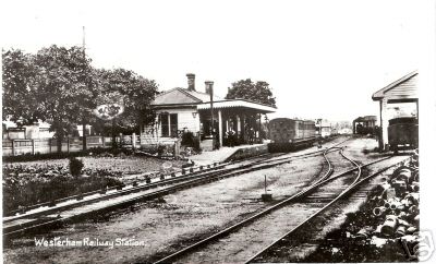
Westerham railway station
Westerham railway station served the village of Westerham in Kent from 1881 until its closure in 1961. == History == No railway was ever constructed all...

Tatsfield
Tatsfield is a village and civil parish in the Tandridge District of Surrey, England. It is located 3.3 miles north west of Westerham and 3.9 miles north...
Nearby Amenities
Located within 500m of 51.285579,0.055908998Have you been to Whitelands Shaw?
Leave your review of Whitelands Shaw below (or comments, questions and feedback).