Broomcocks Wood

Wood, Forest in Kent

England

Broomcocks Wood

Looking south from London Road The white specks in the distance are lorries on the M25 London orbital road.
Looking south from London Road Credit: Nigel Freeman

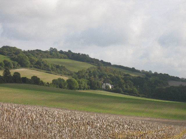
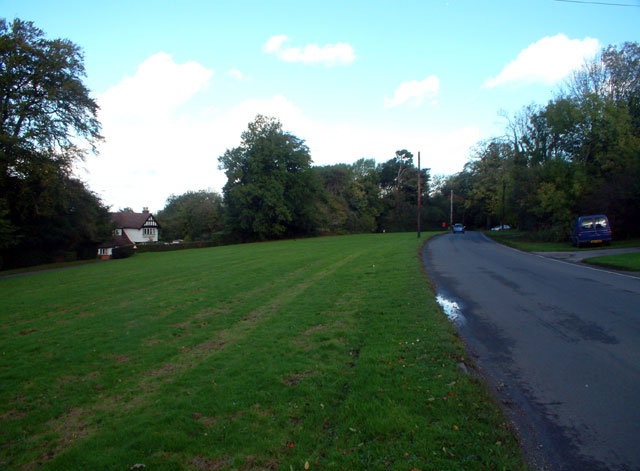
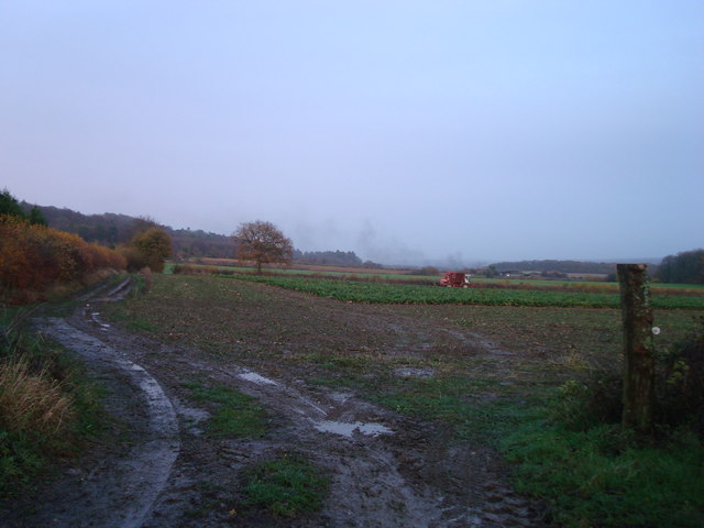
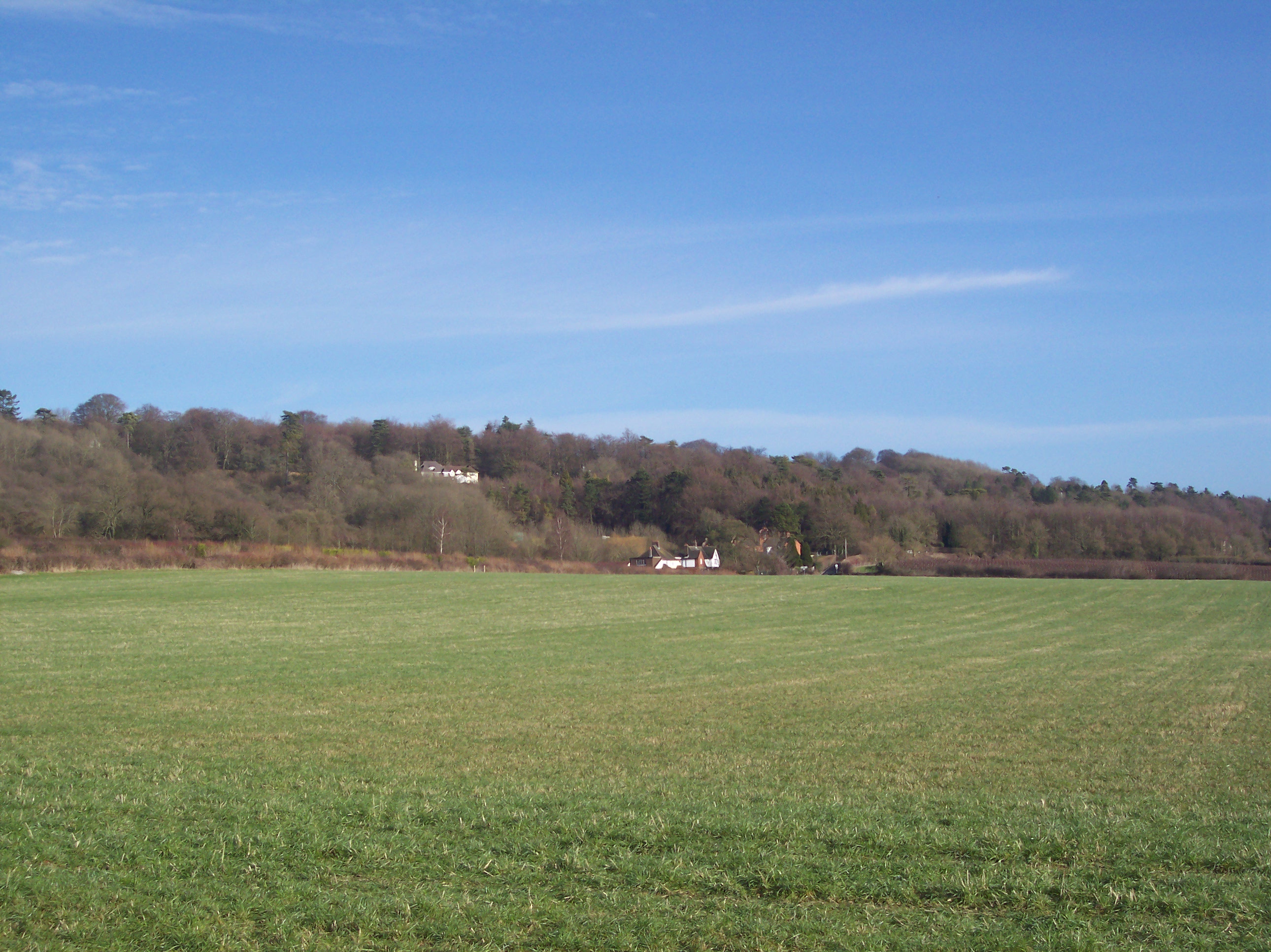
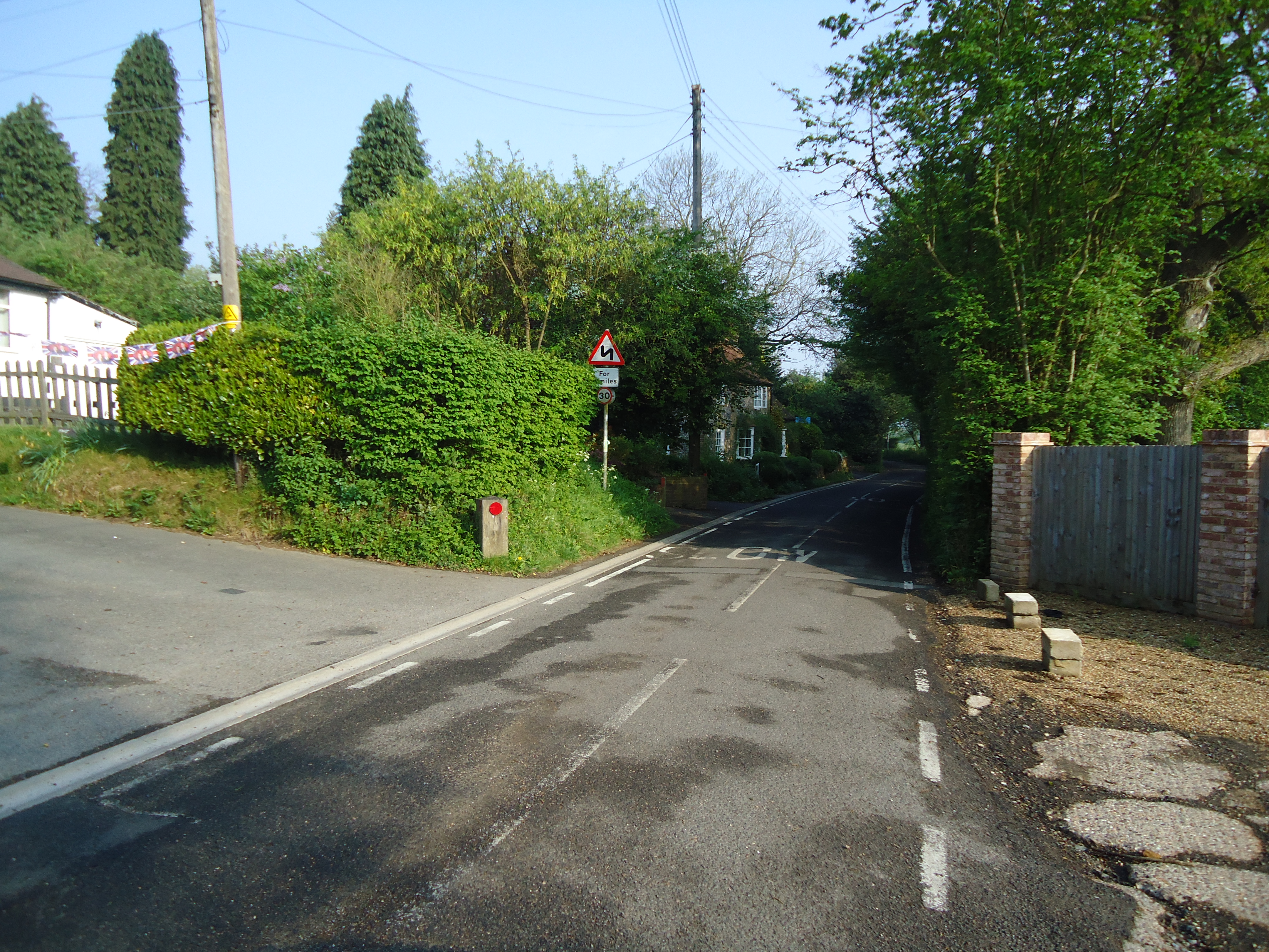
Broomcocks Wood is a picturesque woodland located in the county of Kent, England. Situated near the village of Broomfield, it is a popular destination for nature enthusiasts and outdoor lovers alike.

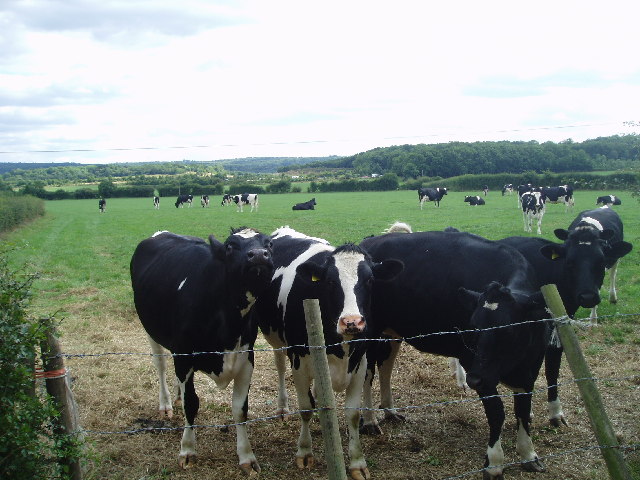
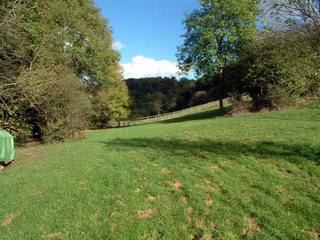
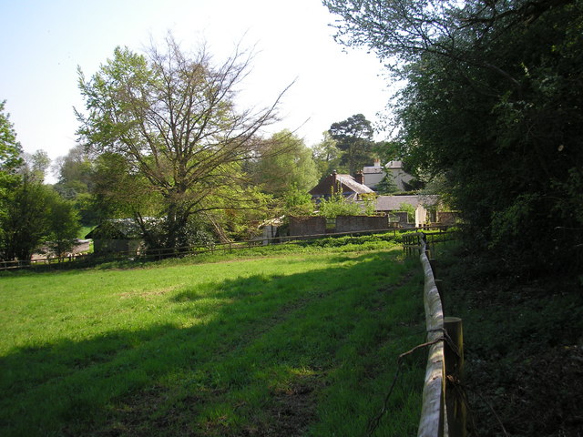
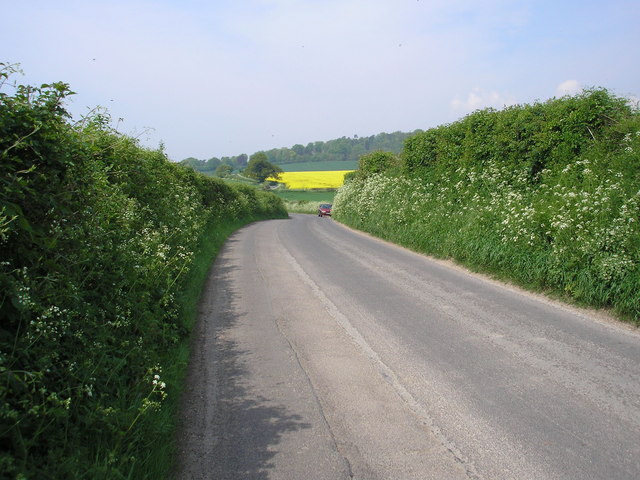
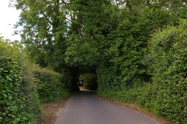
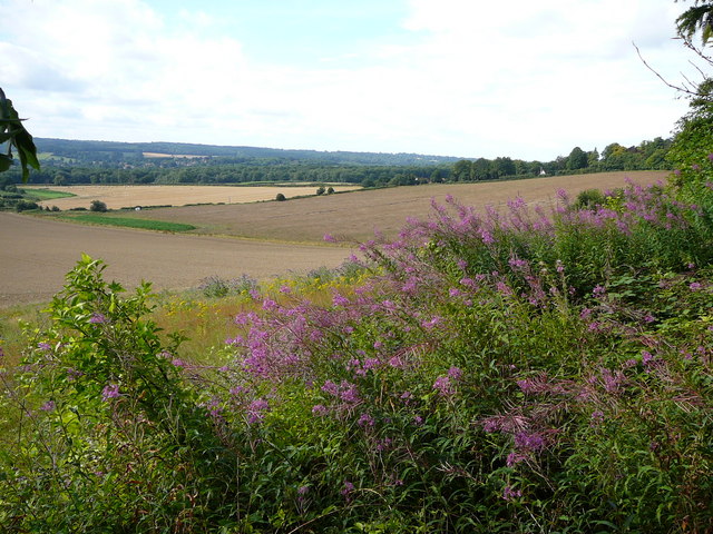
Covering an area of approximately 100 acres, Broomcocks Wood is a thriving ecosystem that is home to a diverse range of flora and fauna. The woodland is predominantly composed of broadleaf trees, including oak, beech, and ash, creating a rich and vibrant canopy. The forest floor is carpeted with an array of wildflowers and ferns, adding to its natural beauty.

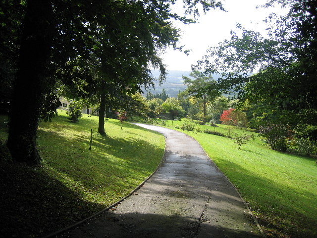
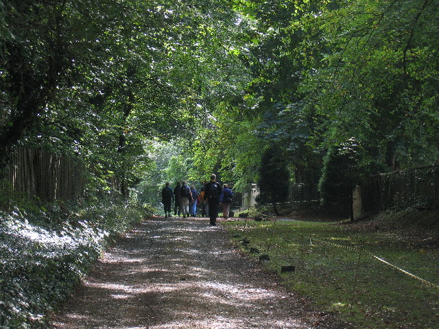
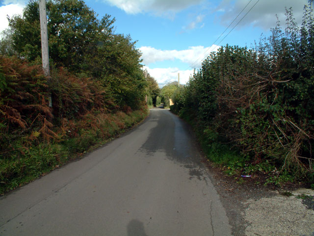
The wood offers a variety of walking trails, providing visitors with the opportunity to explore its enchanting surroundings. As they meander through the woodland, visitors can expect to encounter a wide range of wildlife, including deer, badgers, and a variety of bird species. The peaceful ambiance and tranquil atmosphere make Broomcocks Wood an ideal place for birdwatching and wildlife photography.

The management of Broomcocks Wood is overseen by the local authorities, ensuring that the woodland remains well-preserved and accessible. There are designated picnic areas and benches scattered throughout the wood, allowing visitors to take a break and soak in the breathtaking scenery.

Broomcocks Wood is also a popular location for educational visits, with guided tours and workshops organized for schools and nature groups. These activities promote environmental awareness and provide an opportunity to learn about the importance of preserving our natural habitats.

Overall, Broomcocks Wood, with its stunning landscapes and abundant wildlife, offers a peaceful retreat for individuals seeking to immerse themselves in the beauty of nature.

If you have any feedback on the listing, please let us know in the comments section below.

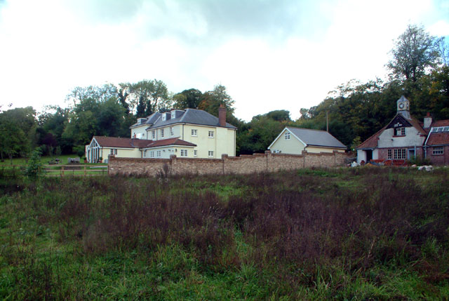
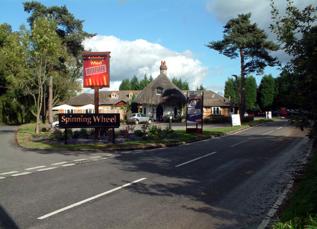
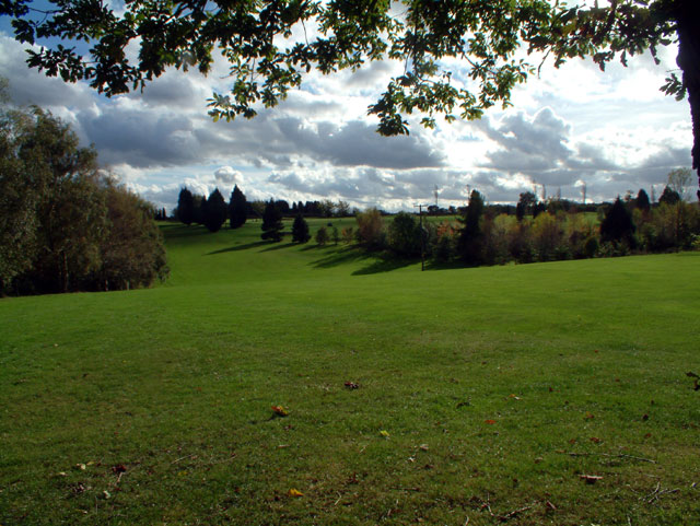
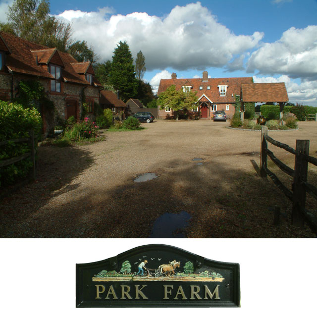
Broomcocks Wood Images

Images are sourced within 2km of 51.291458/0.062195576 or Grid Reference TQ4356. Thanks to Geograph Open Source API. All images are credited.

Looking south from London Road The white specks in the distance are lorries on the M25 London orbital road.
Looking south from London Road
The white specks in the distance are lorries on the M25 London orbital road.
The driveway of Cerne Easter
The North Downs Way
The North Downs Way
Pilgrim House
Pilgrim House
The Manor, New Barn Lane, TN16 Shown on the OS map as New Barn Farm - but the old farm buildings have been demolished, only the stables remaining (at the right of the photo).
The Manor, New Barn Lane, TN16
Shown on the OS map as New Barn Farm - but the old farm buildings have been demolished, only the stables remaining (at the right of the photo).
The Spinning Wheel at Hawley's Corner, TN16 At the end of Gray's Road, which leads west from the A223 Westerham Hill. In front of the restaurant-cum-pub is the private Spinning Wheel Cottage.
The Spinning Wheel at Hawley's Corner, TN16
At the end of Gray's Road, which leads west from the A223 Westerham Hill. In front of the restaurant-cum-pub is the private Spinning Wheel Cottage.
Cherry Lodge golf course, TN16 See <span class="nowrap"><a title="www.cherrylodgegc.co.uk/" rel="nofollow ugc noopener" href="http://www.cherrylodgegc.co.uk/">Link</a><img style="margin-left:2px;" alt="External link" title="External link - shift click to open in new window" src="https://s1.geograph.org.uk/img/external.png" width="10" height="10"/></span>
Cherry Lodge golf course, TN16
See LinkExternal link
Park Farm, Rag Hill, Tatsfield TN16
Ricketts Hill Road, Tatsfield TN16 Looking north
Ricketts Hill Road, Tatsfield TN16
Looking north
Countryside near Tatsfield TN16 This scene was taken looking north from just east of Avenue Road, which despite its grand name is just a track which leads northwards from Rag Hill Road, itself a narrow country lane.
Countryside near Tatsfield TN16
This scene was taken looking north from just east of Avenue Road, which despite its grand name is just a track which leads northwards from Rag Hill Road, itself a narrow country lane.
Buckhurst Road TN16 Looking north
Buckhurst Road TN16
Looking north
Pilgrims Way Standing in Pilgrims Lane looking towards the junction with Clarks Lane (left), Croydon Road (right) and Pilgrims Way (forward). The house on the left is in Surrey, that on the right is in Kent (and the edge of the London Borough of Bromley is only a kilometre away). The colourful sign is the contractor's safety, etc. notice in connection with works on Thames Water's Westerham Disinfection Plant and pumping station which is tucked into a fold of the North Downs at this point.
Pilgrims Way
Standing in Pilgrims Lane looking towards the junction with Clarks Lane (left), Croydon Road (right) and Pilgrims Way (forward). The house on the left is in Surrey, that on the right is in Kent (and the edge of the London Borough of Bromley is only a kilometre away). The colourful sign is the contractor's safety, etc. notice in connection with works on Thames Water's Westerham Disinfection Plant and pumping station which is tucked into a fold of the North Downs at this point.
Farm buildings, Cudham Grange, Kent
The Pilgrim's Way This minor road, which here roughly parallels the M25 motorway, is on the exact alignment of the ancient Pilgrim's Way from Winchester to Canterbury.
The Pilgrim's Way
This minor road, which here roughly parallels the M25 motorway, is on the exact alignment of the ancient Pilgrim's Way from Winchester to Canterbury.
Rag Hill Where the lane passes under the trees is the point where Surrey, Kent and Greater London meet:  the car in the background is in a driveway of a house called Brindle Wood, which is in Tatsfield, Surrey; the hedge on the left is in Kent and the hedge on the right is in the London Borough of Bromley.
Rag Hill
Where the lane passes under the trees is the point where Surrey, Kent and Greater London meet: the car in the background is in a driveway of a house called Brindle Wood, which is in Tatsfield, Surrey; the hedge on the left is in Kent and the hedge on the right is in the London Borough of Bromley.
Former drinking trough Supplied by the Metropolitan Drinking Fountain and Cattle Trough Association.  The house behind is Cudham Frith Farmhouse.
Former drinking trough
Supplied by the Metropolitan Drinking Fountain and Cattle Trough Association. The house behind is Cudham Frith Farmhouse.
View south west from the North Downs Way, across fields west of Pilgrim House
Tatsfield Court Farm, Tatsfield
Show me another place!

Broomcocks Wood is located at Grid Ref: TQ4356 (Lat: 51.291458, Lng: 0.062195576)

Unitary Authority: Bromley

Police Authority: Metropolitan

What 3 Words

///tent.cubes.forms. Near Westerham, Kent

Related Wikis

Betsom's Hill

Betsom's Hill is a hill on the North Downs, and the highest point in the county of Kent at 251 metres (823 ft). Situated between Westerham and Tatsfield...

Pilgrims' Way

The Pilgrims' Way (also Pilgrim's Way or Pilgrims Way) is the historical route supposedly taken by pilgrims from Winchester in Hampshire, England, to the...

South Street, Bromley

South Street is a hamlet in the far south of the London Borough of Bromley, 16.5 miles (27 km) south south-east from Charing Cross. It is the highest settlement...

Westerham Wood

Westerham Wood is a 43.2 hectares (107 acres) biological Site of Special Scientific Interest north of Westerham in Kent.This ancient oak wood on Gault...

Aperfield

Aperfield is a hamlet and area in London, England, within the London Borough of Bromley, 16.2 miles (26 km) south-southeast of Charing Cross, and outside...

Horns Green

Horns Green is an area in the London Borough of Bromley located to the south of Cudham near the boundary with Kent. == References ==

Westerham

Westerham is a town and civil parish in the Sevenoaks District of Kent, England. It is located 3.4 miles east of Oxted and 6 miles west of Sevenoaks, adjacent...

Tatsfield

Tatsfield is a village and civil parish in the Tandridge District of Surrey, England. It is located 3.3 miles north west of Westerham and 3.9 miles north...

Nearby Amenities

Located within 500m of 51.291458,0.062195576
Bus Stop
Westerham Heights
Naptan AtcoCode: 490014442S
Naptan Bearing: S
Naptan CommonName: Westerham Heights
Naptan Street: MAIN ROAD
Naptan Verified: no
Public Transport: platform
Lat/Long: 51.2929184/0.0556371
Bus Stop
Graham Hall Coachworks
Naptan AtcoCode: 2400HALL0001
Naptan Bearing: NW
Naptan CommonName: Graham Hall Coachworks
Naptan Indicator: adj
Naptan Landmark: Graham Hall Coachworks
Naptan NaptanCode: kntjgmjw
Naptan Street: Westerham Hill
Naptan Verified: no
Public Transport: platform
Source: naptan_import
Lat/Long: 51.2888973/0.0589286
Bus Stop
Graham Hall Coachworks
Naptan AtcoCode: 2400HALL0002
Naptan Bearing: SE
Naptan CommonName: Graham Hall Coachworks
Naptan Indicator: opp
Naptan Landmark: Graham Hall Coachworks
Naptan NaptanCode: kntjgmpa
Naptan Street: Westerham Hill
Naptan Verified: no
Public Transport: platform
Source: naptan_import
Lat/Long: 51.2884421/0.0598349
Betsom's Hill
Access: private
Ele: 251
Natural: peak
Wikidata: Q16971505
Wikipedia: en:Betsom's Hill
Lat/Long: 51.2880818/0.0577931
Westerham Heights
Natural: peak
Lat/Long: 51.2895989/0.0589731
Deepdale
Place: isolated_dwelling
Lat/Long: 51.287651/0.0632346
Communication: pole
Lat/Long: 51.2948535/0.0658249
Communication: pole
Lat/Long: 51.2946421/0.0641094
Communication: pole
Lat/Long: 51.2947039/0.0624319
Communication: pole
Lat/Long: 51.2947732/0.0610516
Communication: pole
Lat/Long: 51.2948156/0.0595973
Communication: pole
Lat/Long: 51.2948695/0.0581492
Hawley's Corner
Place: hamlet
Lat/Long: 51.292591/0.0559767
Post Box
Collection Times: Mo-Fr 09:00; Sa 07:00; Su off
Colour: Red
Post Box Mounting: brick_pillar
Post Box Type: wall
Ref: TN16 85
Royal Cypher: EIIR
Royal Cypher Wikidata: Q33102113
Lat/Long: 51.2924413/0.055752
The data included in this document is from www.openstreetmap.org. The data is made available under ODbL.

Have you been to Broomcocks Wood?

Leave your review of Broomcocks Wood below (or comments, questions and feedback).