Round Shaw
Wood, Forest in Kent Sevenoaks
England
Round Shaw
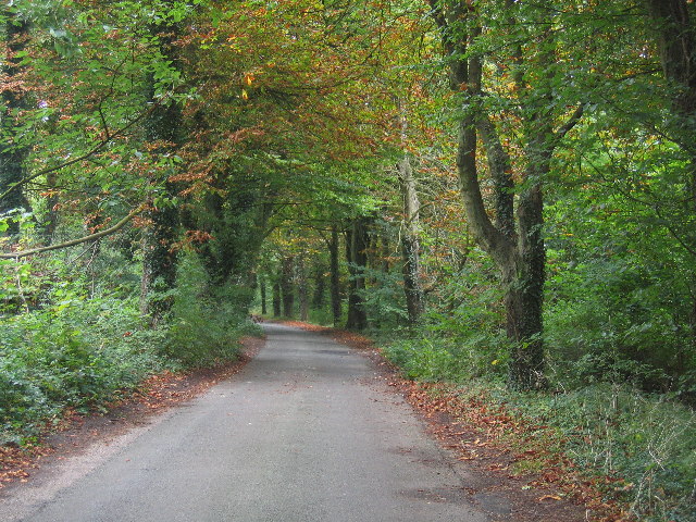
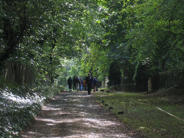
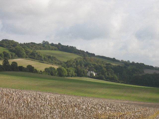
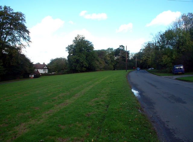
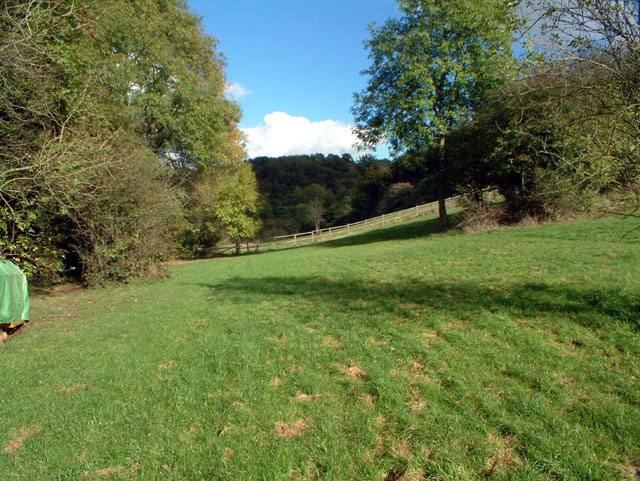
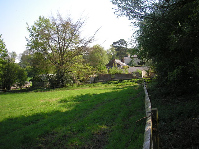
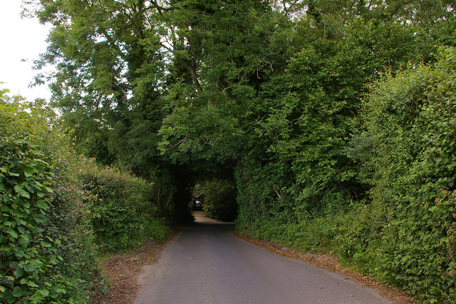
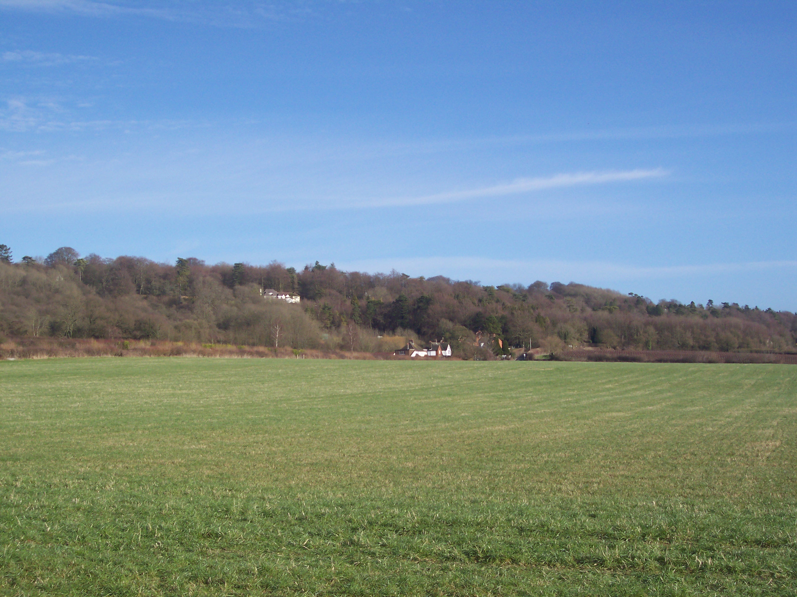
Round Shaw is a small woodland area located in the county of Kent, England. Situated within the larger Wood, Forest area, it covers an approximate area of 1 square kilometer. The woodland is predominantly composed of deciduous trees, including oak, beech, and birch, creating a picturesque and serene environment.
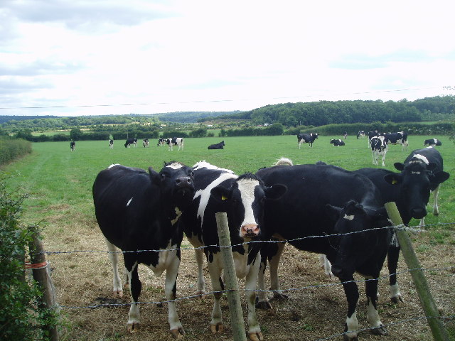
The forest boasts a rich biodiversity, providing habitat for numerous species of flora and fauna. It is home to a variety of bird species, such as woodpeckers, robins, and tits, making it a popular spot for birdwatchers. In addition, mammals like deer, foxes, and rabbits can be spotted in the woodland, adding to its wildlife appeal.
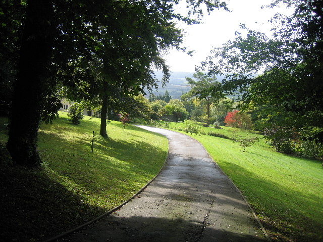
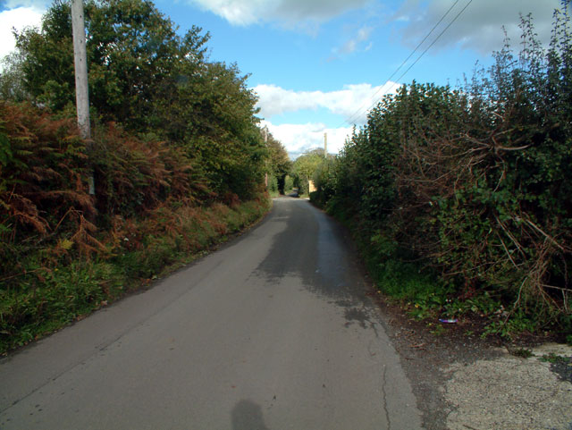
Round Shaw offers visitors an opportunity to immerse themselves in nature and enjoy recreational activities such as walking, hiking, and picnicking. The forest is crisscrossed with well-maintained footpaths, allowing visitors to explore its beauty and discover hidden gems along the way. The peaceful atmosphere makes it an ideal place for relaxation and escapism from the hustle and bustle of daily life.
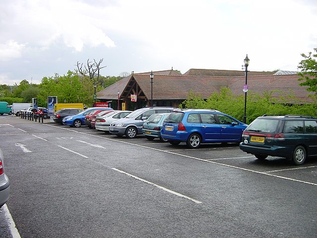
The woodland is easily accessible by car, with a small parking area available for visitors. It is also well connected to the nearby towns and villages by public transport, making it a popular destination for both locals and tourists.
Overall, Round Shaw in Kent is a beautiful woodland area that offers a tranquil retreat for nature enthusiasts. With its diverse wildlife, scenic trails, and convenient location, it is a must-visit destination for anyone seeking a peaceful and rejuvenating experience in the heart of nature.
If you have any feedback on the listing, please let us know in the comments section below.
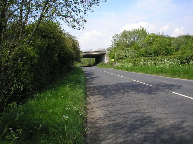
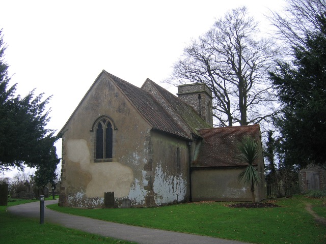
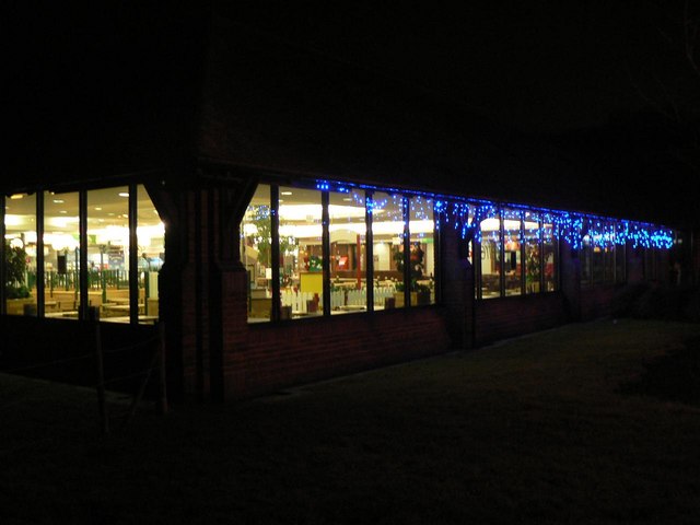
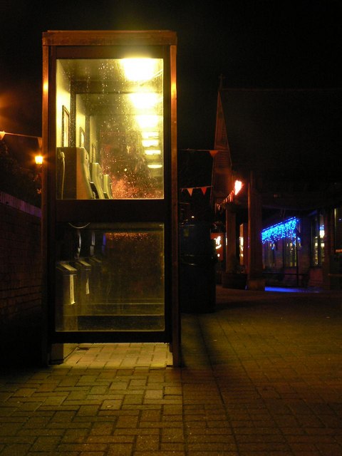
Round Shaw Images
Images are sourced within 2km of 51.286469/0.055403788 or Grid Reference TQ4356. Thanks to Geograph Open Source API. All images are credited.

Round Shaw is located at Grid Ref: TQ4356 (Lat: 51.286469, Lng: 0.055403788)
Administrative County: Kent
District: Sevenoaks
Police Authority: Kent
What 3 Words
///rams.statue.gears. Near Westerham, Kent
Nearby Locations
Related Wikis
Betsom's Hill
Betsom's Hill is a hill on the North Downs, and the highest point in the county of Kent at 251 metres (823 ft). Situated between Westerham and Tatsfield...

Pilgrims' Way
The Pilgrims' Way (also Pilgrim's Way or Pilgrims Way) is the historical route supposedly taken by pilgrims from Winchester in Hampshire, England, to the...

Westerham Wood
Westerham Wood is a 43.2 hectares (107 acres) biological Site of Special Scientific Interest north of Westerham in Kent.This ancient oak wood on Gault...

South Street, Bromley
South Street is a hamlet in the far south of the London Borough of Bromley, 16.5 miles (27 km) south south-east from Charing Cross. It is the highest settlement...

Westerham
Westerham is a town and civil parish in the Sevenoaks District of Kent, England. It is located 3.4 miles east of Oxted and 6 miles west of Sevenoaks, adjacent...

Clacket Lane services
Clacket Lane services is a motorway service station on the M25 motorway midway between junctions 5 and 6, in Surrey, United Kingdom, adjacent to the parish...

Tatsfield
Tatsfield is a village and civil parish in the Tandridge District of Surrey, England. It is located 3.3 miles north west of Westerham and 3.9 miles north...
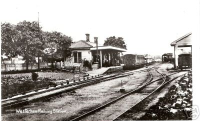
Westerham railway station
Westerham railway station served the village of Westerham in Kent from 1881 until its closure in 1961. == History == No railway was ever constructed all...
Related Videos

Westerham Kent Walk | HereWeGo | VIRTUAL WALKING TOUR | 4K HD
Here We Go to Westerham in Kent, England. Westerham is a town and civil parish in the Sevenoaks District of Kent, England.

Love Walking? Walk a historic 13 miles in our area of outstanding beauty around Westerham
Save £28* as its FREE to enter Chartwell gardens on this day if you collect your walking wristband from the checkpoint on the ...

Westerham & Chartwell Walk | KENT Outstanding Circular Walks | Pathfinder Guides
Welcome to the Kent Outstanding Circular Walks video series. In this episode, I take on walk number 7 with my dad, Malcolm as ...

Westerham Circular Walk 28 July 2023
A short (4.5 mile) walk, but a truly lovely one. From Westerham, this walk goes via the hamlet of French Street and then near to ...
Nearby Amenities
Located within 500m of 51.286469,0.055403788Have you been to Round Shaw?
Leave your review of Round Shaw below (or comments, questions and feedback).