Gosshill Wood
Wood, Forest in Kent
England
Gosshill Wood
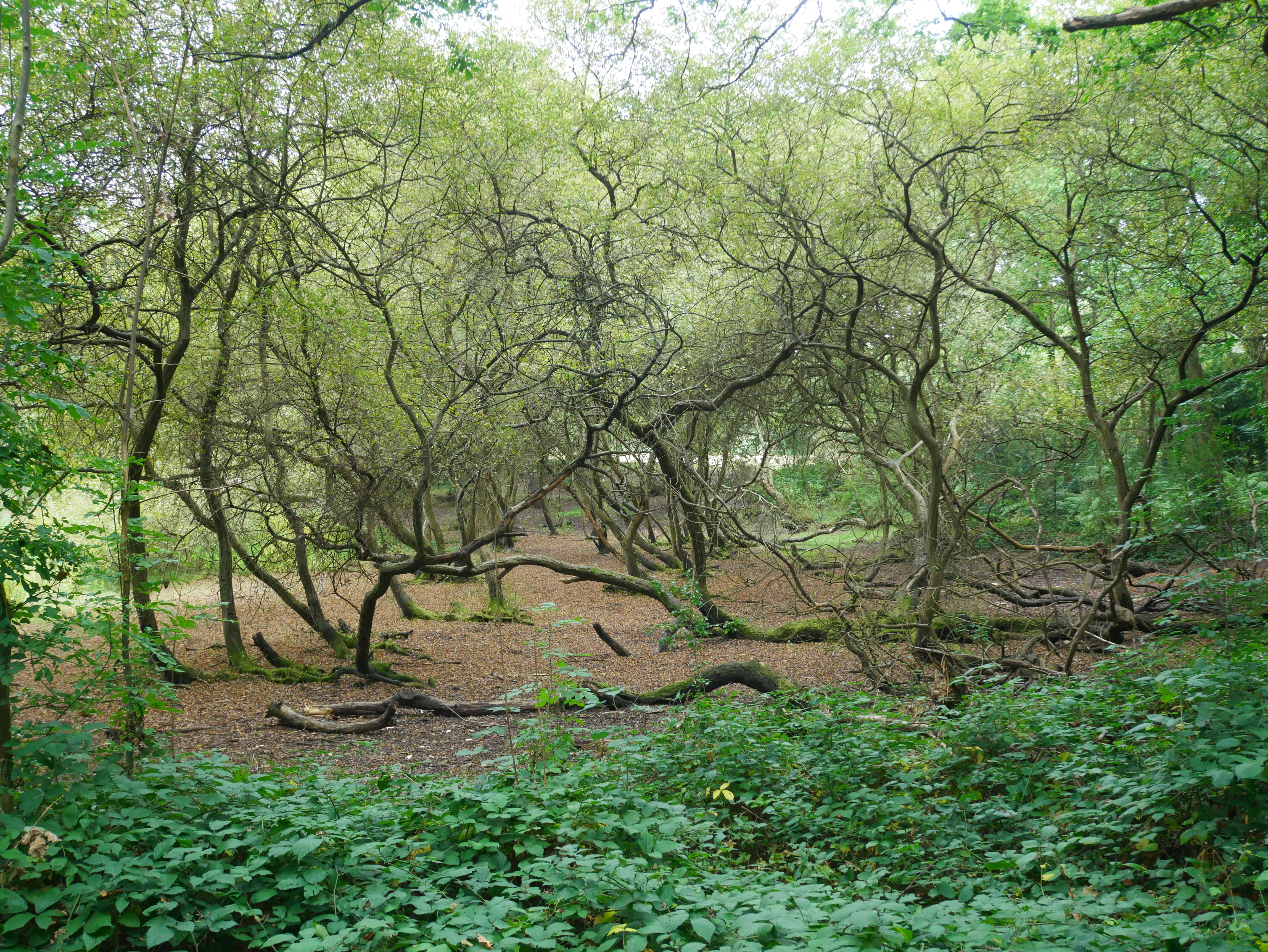
Gosshill Wood is a picturesque woodland located in Kent, England. It covers an area of approximately 50 acres and is nestled within the charming countryside of the Kent Downs, an Area of Outstanding Natural Beauty. The wood is easily accessible, situated just a few miles south of the historic market town of Faversham.
This ancient woodland boasts a diverse range of tree species, including oak, ash, beech, and hazel, creating a rich and vibrant ecosystem. The dense canopy provides a haven for a variety of wildlife, such as deer, foxes, badgers, and numerous bird species. Nature enthusiasts can delight in the sights and sounds of woodland creatures as they explore the well-maintained network of trails that wind their way through the wood.
Gosshill Wood is renowned for its carpet of bluebells that bloom in spring, transforming the forest floor into a sea of vibrant hues. This natural spectacle attracts visitors from far and wide, eager to witness the breathtaking beauty of the woodland in full bloom.
The wood offers a tranquil retreat for those seeking a peaceful escape from the hustle and bustle of daily life. Visitors can enjoy leisurely walks, picnics, or simply find a quiet spot to soak in the serenity of the surroundings. Local organizations also arrange educational activities and guided tours, shedding light on the rich history and ecological importance of the wood.
Gosshill Wood is a true gem of Kent, providing a haven of natural beauty and wildlife for all to enjoy.
If you have any feedback on the listing, please let us know in the comments section below.
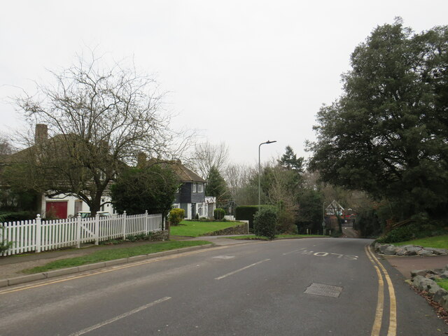
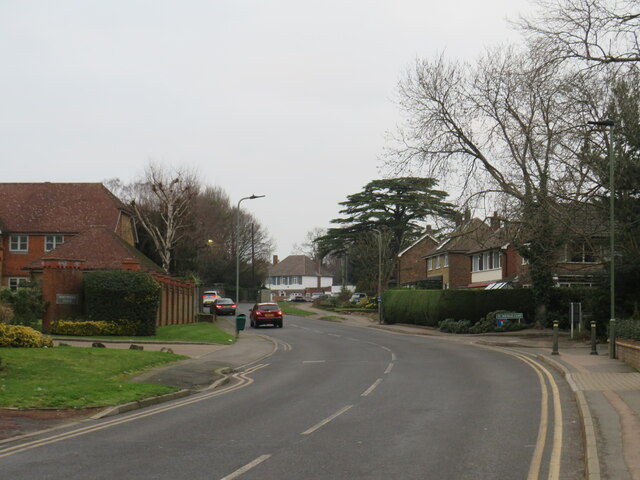
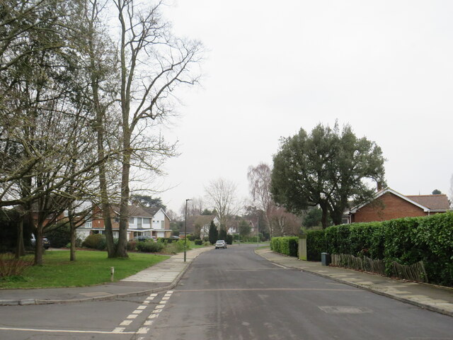
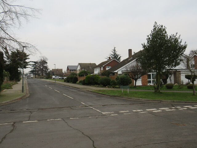
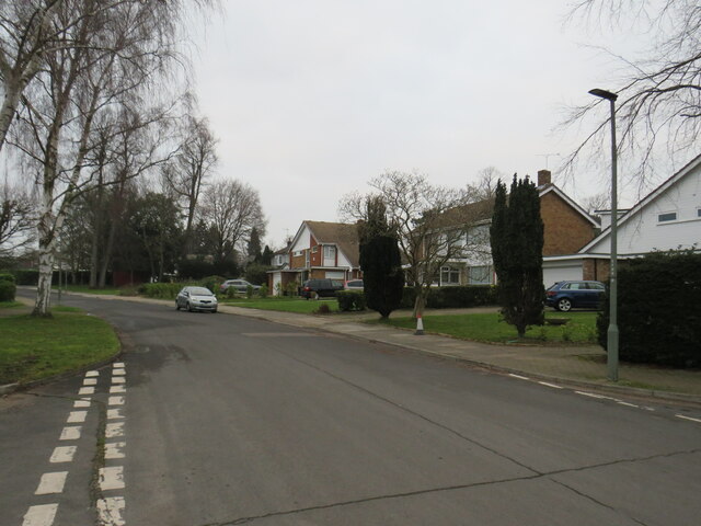
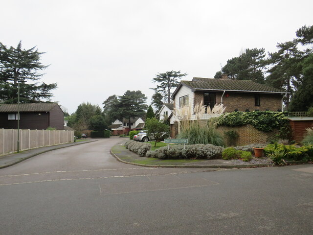
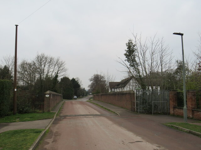
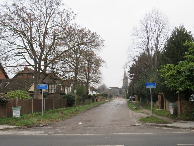
Gosshill Wood Images
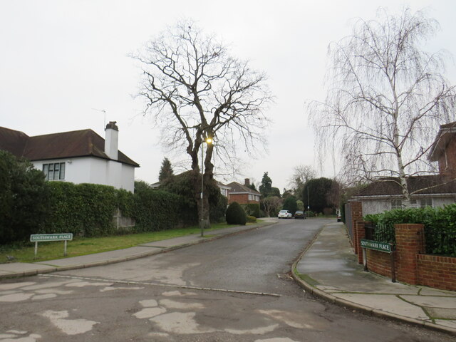
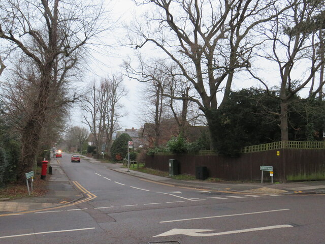
Images are sourced within 2km of 51.404022/0.061216872 or Grid Reference TQ4369. Thanks to Geograph Open Source API. All images are credited.
Gosshill Wood is located at Grid Ref: TQ4369 (Lat: 51.404022, Lng: 0.061216872)
Unitary Authority: Bromley
Police Authority: Metropolitan
What 3 Words
///tube.list.rips. Near Chislehurst, London
Nearby Locations
Related Wikis
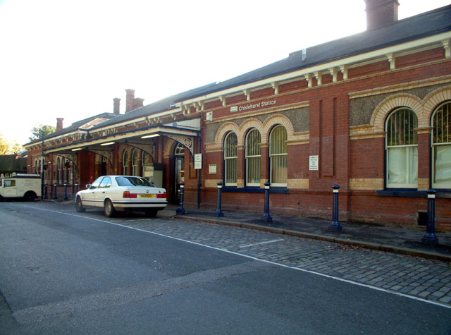
Chislehurst railway station
Chislehurst railway station is on the South Eastern Main Line, serving the neighbourhood of Chislehurst in the London Borough of Bromley. It is 11 miles...

Chislehurst Caves
Chislehurst Caves are a series of intersecting man-made tunnels and caverns covering some 22 miles (35.4 km) in Chislehurst in the London Borough of Bromley...

Chislehurst Junction
Chislehurst Junction is an important railway junction near Chislehurst in the London Borough of Bromley, England. It is the point where the South Eastern...
Chislehurst Common
Chislehurst Common is an open space in Chislehurst in the London Borough of Bromley in south-east London. It is jointly managed with St Paul's Cray Common...
Derwent House
Derwent House, on Camden Park Road, Chislehurst, Bromley, is one of a number of the locally renowned 'Willett-built' houses erected on the Camden Park...
Coopers School
Coopers School is a mixed secondary school with academy status in Chislehurst in the London Borough of Bromley, England. The current Head of School is...
Bromley High School
Bromley High School is a girls' independent school located in Bickley, Greater London, part of the Girls' Day School Trust. Originally located in the middle...

Bickley
Bickley is a district and a local government electoral ward in South East London, within the London Borough of Bromley. It is located 10.4 miles (16.7...
Nearby Amenities
Located within 500m of 51.404022,0.061216872Have you been to Gosshill Wood?
Leave your review of Gosshill Wood below (or comments, questions and feedback).