Jessop's Hill

Hill, Mountain in Sussex Wealden

England

Jessop's Hill

Junction of Clock House Lane and the A22, Nutley
Junction of Clock House Lane and the A22, Nutley Credit: nick macneill

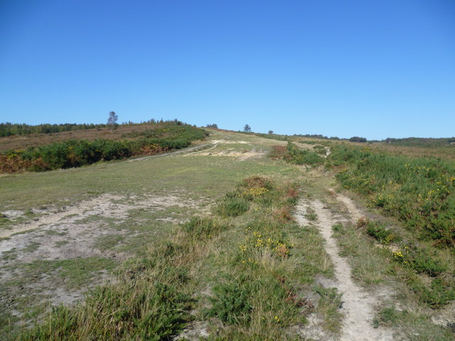
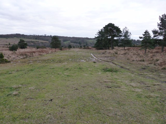
Jessop's Hill is a prominent landmark located in the county of Sussex, England. This hill, often referred to as a mountain due to its steepness, is situated in the South Downs National Park, offering breathtaking panoramic views of the surrounding countryside.

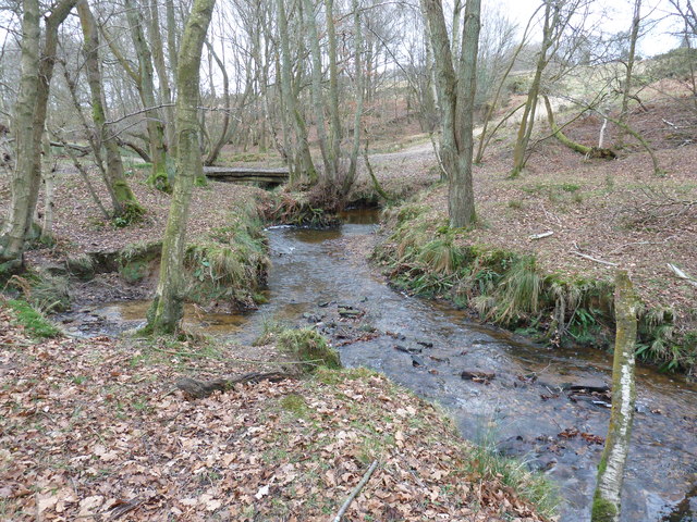
Standing at an elevation of approximately 200 meters, Jessop's Hill is known for its challenging hiking trails and exhilarating rock climbing opportunities. The hill's terrain is characterized by rugged slopes covered in thick vegetation, including grasses, wildflowers, and shrubs, which provide a habitat for various wildlife species, such as rabbits, foxes, and birds.

The hill's geological composition primarily consists of chalk, which is evident in the prominent white cliffs that can be observed from certain vantage points. These cliffs are not only visually striking but also serve as nesting sites for rare bird species, such as peregrine falcons and kestrels.

Jessop's Hill is a popular destination for outdoor enthusiasts, attracting hikers, climbers, and nature lovers throughout the year. The hill's network of trails offers a range of difficulty levels, catering to both beginners and experienced adventurers. Additionally, the hill is equipped with designated viewpoints and picnic areas, allowing visitors to appreciate the stunning vistas and enjoy a moment of tranquility amidst nature.

Overall, Jessop's Hill stands as a remarkable natural landmark in Sussex, providing both recreational opportunities and a haven for biodiversity. Its striking landscapes and diverse ecosystems make it a must-visit destination for those seeking an immersive outdoor experience.

If you have any feedback on the listing, please let us know in the comments section below.

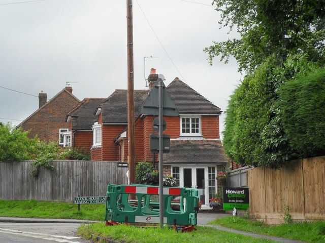
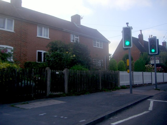
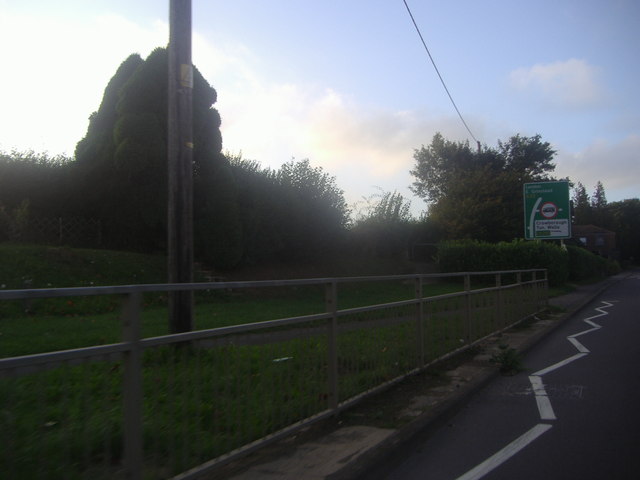
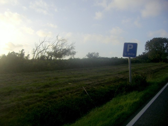
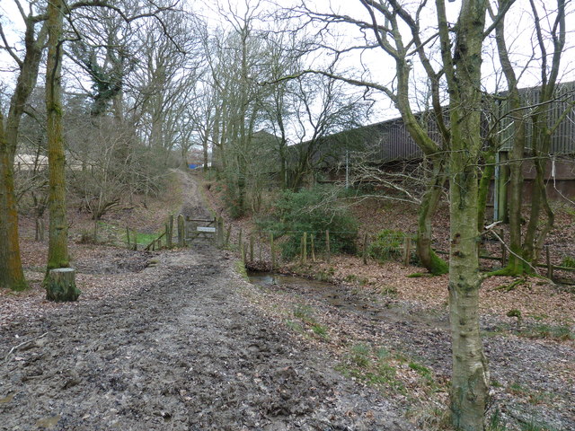
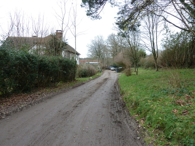
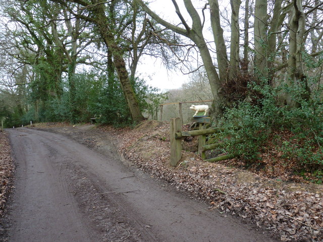
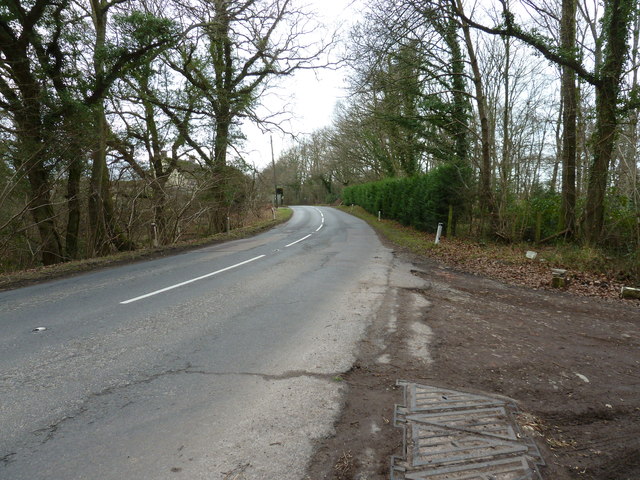
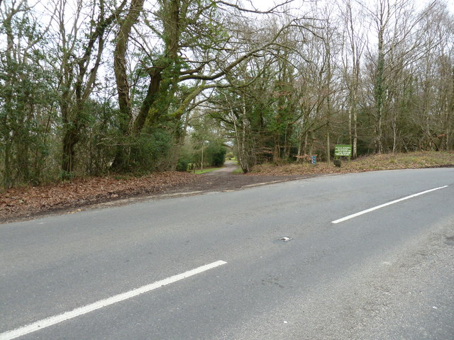
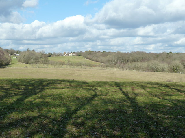
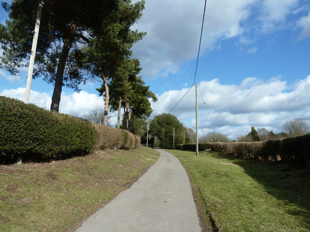
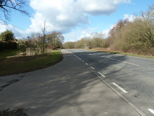
Jessop's Hill Images

Images are sourced within 2km of 51.029227/0.047239548 or Grid Reference TQ4327. Thanks to Geograph Open Source API. All images are credited.

Junction of Clock House Lane and the A22, Nutley
Stratton car sales, Horney Common
Houses on High Street Nutley
High Street Nutley Looking towards the signed double road junction
High Street Nutley
Looking towards the signed double road junction
Sun setting over the fields, Millbrook Hill
Ashdown Forest above the Misbourne Valley Ashdown Forest is a former medieval hunting forest, and is the highest ridge of the High Weald. At ten square miles it is the largest open access area in the South East. Ashdown Forest was purchased by East Sussex County Council from the De La Warr family in 1988. It is now managed by a Board of Conservators. Nearly two thirds of it is heathland, areas of which can be seen here, either side of the path up the west side of the Misbourne Valley to Stonehill car park. The wide path also acts as a fire break. The sandy nature of the soil is evident.
Ashdown Forest above the Misbourne Valley
Ashdown Forest is a former medieval hunting forest, and is the highest ridge of the High Weald. At ten square miles it is the largest open access area in the South East. Ashdown Forest was purchased by East Sussex County Council from the De La Warr family in 1988. It is now managed by a Board of Conservators. Nearly two thirds of it is heathland, areas of which can be seen here, either side of the path up the west side of the Misbourne Valley to Stonehill car park. The wide path also acts as a fire break. The sandy nature of the soil is evident.
The heathland of Ashdown Forest Ashdown Forest is a former medieval hunting forest, and is the highest ridge of the High Weald. At ten square miles it is the largest open access area in the South East. Ashdown Forest was purchased by East Sussex County Council from the De La Warr family in 1988. It is now managed by a Board of Conservators. Nearly two thirds of it is heathland, areas of which can be seen on both sides of the wide path here which acts as a firebreak. The sandy nature of the soil is also evident. The path leads up the west side of the Misbourne Valley to Stonehill car park.
The heathland of Ashdown Forest
Ashdown Forest is a former medieval hunting forest, and is the highest ridge of the High Weald. At ten square miles it is the largest open access area in the South East. Ashdown Forest was purchased by East Sussex County Council from the De La Warr family in 1988. It is now managed by a Board of Conservators. Nearly two thirds of it is heathland, areas of which can be seen on both sides of the wide path here which acts as a firebreak. The sandy nature of the soil is also evident. The path leads up the west side of the Misbourne Valley to Stonehill car park.
Nutley War Memorial Hall, East Sussex
Track across heathland in Ashdown Forest
Footbridge over stream near Londonderry Farm
Footpath approaching Londonderry Farm
House at Londonderry Farm
Pig on guard duty At the entrance to Londonderry Farm.
Pig on guard duty
At the entrance to Londonderry Farm.
Crowborough Road SW to the A22
Footpath entry to Nutley Mill Vehicle entry is further up the road to the right.
Footpath entry to Nutley Mill
Vehicle entry is further up the road to the right.
View north across square to the outskirts of Nutley Centre is the Oast House at Streatfield Farm.
View north across square to the outskirts of Nutley
Centre is the Oast House at Streatfield Farm.
Conifers on access road to Hunters Farm
A22 approaching Dodds Hill and Nutley
Show me another place!

Jessop's Hill is located at Grid Ref: TQ4327 (Lat: 51.029227, Lng: 0.047239548)

Administrative County: East Sussex

District: Wealden

Police Authority: Sussex

What 3 Words

///redeemed.clothed.spoons. Near Horsted Keynes, West Sussex

Related Wikis

Nutley, East Sussex

Nutley is a village in the Wealden District of East Sussex, England. It lies about 5 mi (8.0 km) north-west of Uckfield, the main road being the A22. Nutley...
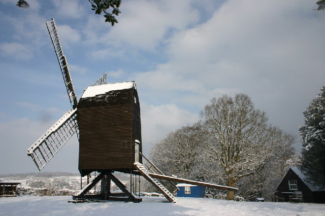
Nutley Windmill

Nutley Windmill is a grade II* listed open trestle post mill at Nutley, East Sussex, England which has been restored to working order. == History == Nutley...
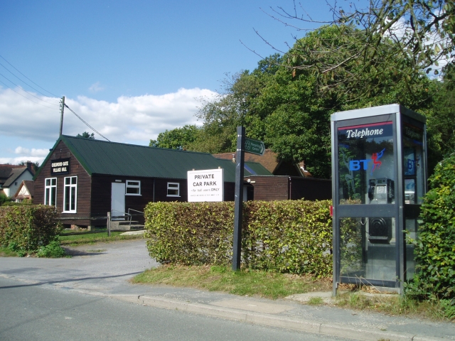
Chelwood Gate

Chelwood Gate is a small village within the civil parish of Danehill in the Wealden district of East Sussex, England. Its nearest town is Uckfield, which...

Furner's Green

Furner's Green is a hamlet in the civil parish of Danehill in East Sussex, England. == Geography == Furner's Green lies on the Greenwich Meridian about...

Byline Festival

The Byline Festival is a festival whose aim is to promote independent journalism and free speech. The festival was founded by Stephen Colegrave and Peter...

Danehill, East Sussex

Danehill is a village in East Sussex, England. == Religious sites == There are two Anglican churches in the parish: one at Danehill (dedicated to All Saints...

Fairwarp

Fairwarp is a small village within the civil parish of Maresfield in the Wealden district of East Sussex, England. Its nearest town is Uckfield, which...

Isaac Roberts' Observatory

Isaac Roberts' Observatory was an observatory, installed in the private home of the British astronomer Isaac Roberts. It was in Crowborough, Sussex, and...

Nearby Amenities

Located within 500m of 51.029227,0.047239548
Jessop's Hill
Natural: peak
Source: npe
Lat/Long: 51.0299547/0.0500464
Hole and Alchorne
Place: farm
Lat/Long: 51.0290271/0.0408447
Power: pole
Lat/Long: 51.0309192/0.0457369
Power: pole
Lat/Long: 51.0302347/0.0447202
Power: pole
Lat/Long: 51.0298582/0.0441525
Power: pole
Lat/Long: 51.0289309/0.0427722
Power: pole
Lat/Long: 51.0284098/0.0419907
Power: pole
Lat/Long: 51.0278571/0.0411632
The data included in this document is from www.openstreetmap.org. The data is made available under ODbL.

Have you been to Jessop's Hill?

Leave your review of Jessop's Hill below (or comments, questions and feedback).