Tinker's Wood
Wood, Forest in Sussex Wealden
England
Tinker's Wood
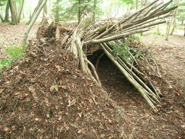
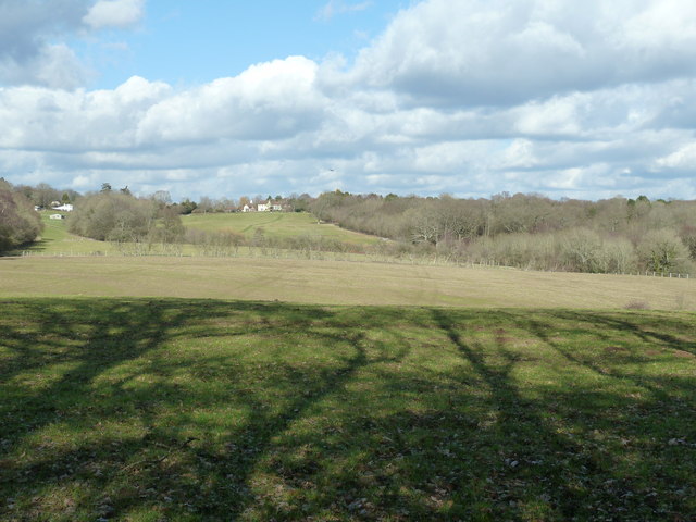
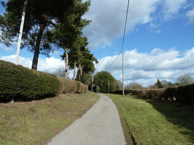
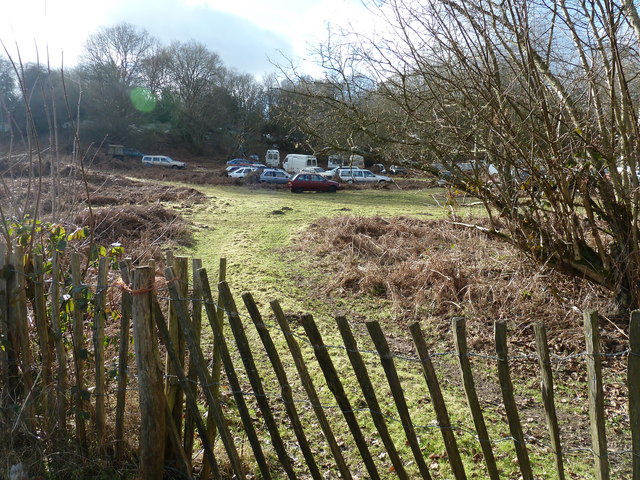
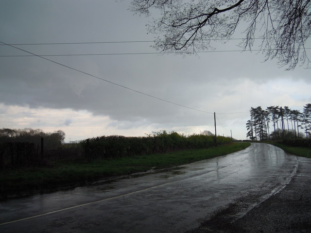
Tinker's Wood, located in Sussex, is a picturesque woodland known for its natural beauty and rich biodiversity. Spanning over a vast area, this ancient forest is nestled in the heart of the South Downs National Park, offering visitors an opportunity to explore its enchanting trails and discover its hidden treasures.
The woodland is predominantly composed of towering oak and beech trees, which create a dense canopy, providing shade and shelter for a diverse range of flora and fauna. The forest floor is adorned with an array of wildflowers, including bluebells and primroses, adding bursts of color to the landscape during the springtime.
Tinker's Wood is home to a thriving ecosystem, hosting a variety of wildlife species. Nature enthusiasts can spot deer, badgers, foxes, and a plethora of bird species, making it a haven for birdwatchers. The wood's tranquil atmosphere is often interrupted by the melodic songs of woodland birds, enhancing the overall experience for visitors.
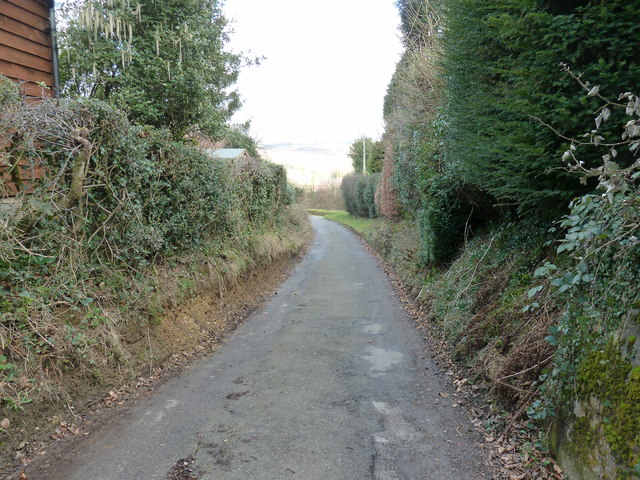
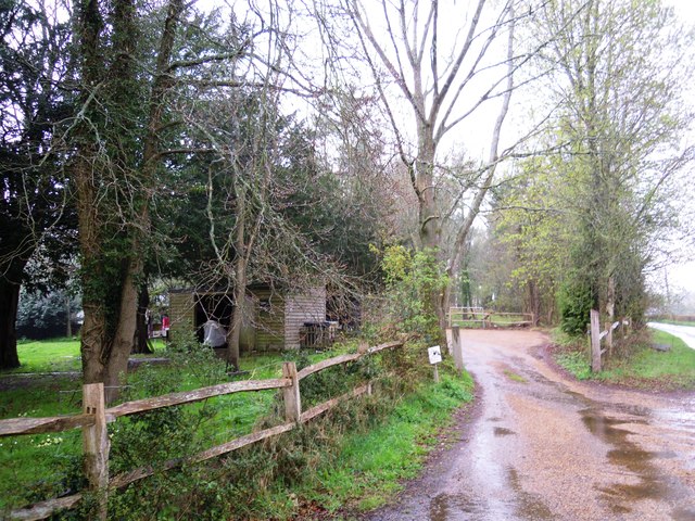
Walking trails wind through the woodland, allowing visitors to immerse themselves in its natural wonders. These paths lead to fascinating landmarks, such as ancient burial mounds and remnants of Iron Age settlements, providing insights into the area's rich history.
Tinker's Wood is a popular destination for outdoor activities, including hiking, wildlife photography, and nature walks. Its accessibility and well-maintained trails make it a favorite spot for families, nature enthusiasts, and those seeking solace in the embrace of nature.
In conclusion, Tinker's Wood, Sussex, is a captivating woodland that offers a serene escape from the hustle and bustle of daily life. Its ancient trees, diverse wildlife, and historical landmarks make it a must-visit destination for anyone seeking a connection with nature and a glimpse into Sussex's natural heritage.
If you have any feedback on the listing, please let us know in the comments section below.
Tinker's Wood Images
Images are sourced within 2km of 51.027523/0.043342513 or Grid Reference TQ4327. Thanks to Geograph Open Source API. All images are credited.


Tinker's Wood is located at Grid Ref: TQ4327 (Lat: 51.027523, Lng: 0.043342513)
Administrative County: East Sussex
District: Wealden
Police Authority: Sussex
What 3 Words
///compose.sweep.dunk. Near Horsted Keynes, West Sussex
Nearby Locations
Related Wikis

Nutley, East Sussex
Nutley is a village in the Wealden District of East Sussex, England. It lies about 5 mi (8.0 km) north-west of Uckfield, the main road being the A22. Nutley...
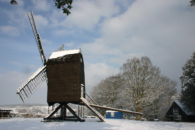
Nutley Windmill
Nutley Windmill is a grade II* listed open trestle post mill at Nutley, East Sussex, England which has been restored to working order. == History == Nutley...
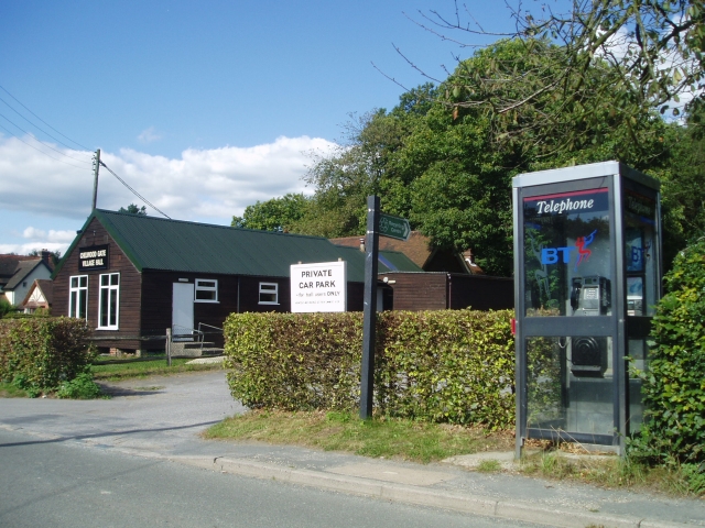
Chelwood Gate
Chelwood Gate is a small village within the civil parish of Danehill in the Wealden district of East Sussex, England. Its nearest town is Uckfield, which...

Furner's Green
Furner's Green is a hamlet in the civil parish of Danehill in East Sussex, England. == Geography == Furner's Green lies on the Greenwich Meridian about...

Danehill, East Sussex
Danehill is a village in East Sussex, England. == Religious sites == There are two Anglican churches in the parish: one at Danehill (dedicated to All Saints...
Byline Festival
The Byline Festival is a festival whose aim is to promote independent journalism and free speech. The festival was founded by Stephen Colegrave and Peter...

Isaac Roberts' Observatory
Isaac Roberts' Observatory was an observatory, installed in the private home of the British astronomer Isaac Roberts. It was in Crowborough, Sussex, and...

Fairwarp
Fairwarp is a small village within the civil parish of Maresfield in the Wealden district of East Sussex, England. Its nearest town is Uckfield, which...
Related Videos


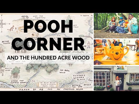
A trip to the Hundred Acre Wood (Ashdown Forest) and Pooh Corner | Hayley Warren
My birthday trip to Pooh Corner and the Hundred Acre Wood to play Poohsticks.
Nearby Amenities
Located within 500m of 51.027523,0.043342513Have you been to Tinker's Wood?
Leave your review of Tinker's Wood below (or comments, questions and feedback).