Bottom Roughway Wood

Wood, Forest in Essex Uttlesford

England

Bottom Roughway Wood

Little Chishill, St Nicholas <span class="nowrap"><a title="http://www.druidic.org/camchurch/churches/ltchishill.htm" rel="nofollow ugc noopener" href="http://www.druidic.org/camchurch/churches/ltchishill.htm">Link</a><img style="margin-left:2px;" alt="External link" title="External link - shift click to open in new window" src="https://s1.geograph.org.uk/img/external.png" width="10" height="10"/></span>
Little Chishill, St Nicholas Credit: mym

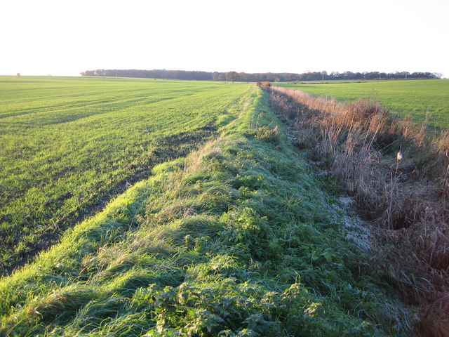
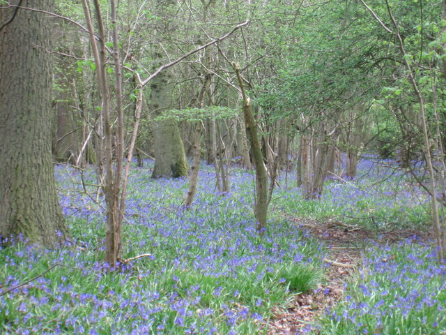
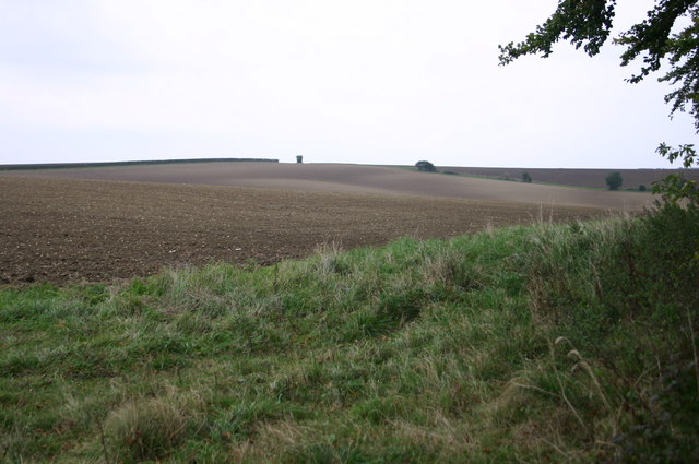
Bottom Roughway Wood is a picturesque forest located in the county of Essex, England. Covering an area of approximately 100 acres, it is considered one of the most significant woodlands in the region. The wood is primarily composed of native broad-leaved trees, including oak, ash, and beech, creating a diverse and vibrant ecosystem.

The woodland is known for its rich biodiversity, offering a sanctuary for various wildlife species. It provides a habitat for numerous bird species, such as woodpeckers, owls, and songbirds, making it a popular destination for birdwatchers. Additionally, the wood is home to a variety of mammals, including badgers, foxes, and deer.

Bottom Roughway Wood boasts numerous walking trails, allowing visitors to explore its natural beauty. These paths wind through the forest, offering picturesque views of the ancient trees and the tranquil atmosphere. The wood also features a small stream that adds to its charm, providing a peaceful ambiance.

The management of Bottom Roughway Wood is overseen by a local conservation organization, ensuring its preservation and protection. This includes regular maintenance of the trails, monitoring of wildlife populations, and the implementation of sustainable practices to maintain the woodland's health.

Overall, Bottom Roughway Wood is a haven for nature enthusiasts, offering a serene and enchanting experience in the heart of Essex. With its diverse flora and fauna, it provides a natural haven for both wildlife and visitors alike.

If you have any feedback on the listing, please let us know in the comments section below.

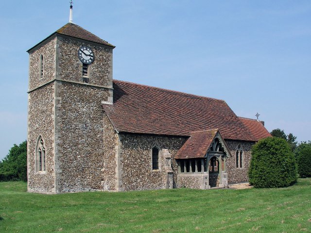
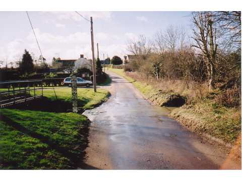
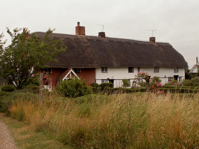
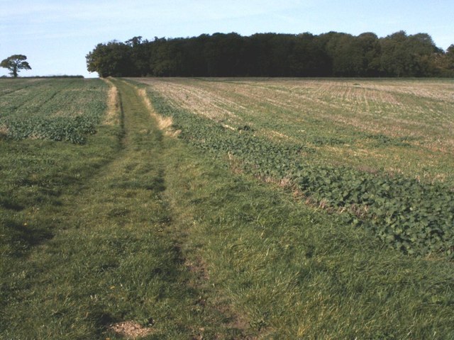
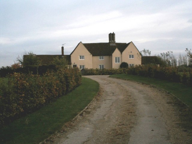
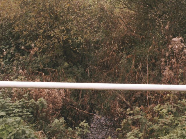
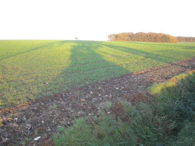
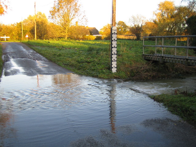
Bottom Roughway Wood Images

Images are sourced within 2km of 52.005503/0.087779087 or Grid Reference TL4336. Thanks to Geograph Open Source API. All images are credited.

Little Chishill, St Nicholas <span class="nowrap"><a title="http://www.druidic.org/camchurch/churches/ltchishill.htm" rel="nofollow ugc noopener" href="http://www.druidic.org/camchurch/churches/ltchishill.htm">Link</a><img style="margin-left:2px;" alt="External link" title="External link - shift click to open in new window" src="https://s1.geograph.org.uk/img/external.png" width="10" height="10"/></span>
Little Chishill, St Nicholas
Langley Church, Upper Green.
Ford, Langley Lower Green Culverted ford, usually dry.
Ford, Langley Lower Green
Culverted ford, usually dry.
Thatched cottages at Upper Green, Langley, Essex
Bridleway at Building End Bridleway leading from Building End to Great Chishill
Bridleway at Building End
Bridleway leading from Building End to Great Chishill
Chiswick Hall Believed to be the oldest building in the area.
Chiswick Hall
Believed to be the oldest building in the area.
River Stort A view from the road bridge of the infant river Stort close to its source at Doctor's Grove.
River Stort
A view from the road bridge of the infant river Stort close to its source at Doctor's Grove.
Winter Oilseed Rape A healthy-looking field of winter oilseed-rape at Gipsy Corner Farm
Winter Oilseed Rape
A healthy-looking field of winter oilseed-rape at Gipsy Corner Farm
Chrishall Common Roughway Wood is the distant clump of trees beyond the winter wheat.
Chrishall Common
Roughway Wood is the distant clump of trees beyond the winter wheat.
River Stort in Lower Green, Langley This is the ford across the River Stort on the road known as Waterwick Hill in Lower Green, and, compared with Andrew's photo <a href="https://www.geograph.org.uk/photo/58589">TL4334 : Ford, Langley Lower Green</a>, the river certainly has a lot of water flowing in it. The extent of the recent inundation can be seen from the flood trash line on the road on the far side of the ford.
River Stort in Lower Green, Langley
This is the ford across the River Stort on the road known as Waterwick Hill in Lower Green, and, compared with Andrew's photo TL4334 : Ford, Langley Lower Green, the river certainly has a lot of water flowing in it. The extent of the recent inundation can be seen from the flood trash line on the road on the far side of the ford.
River Stort north of Lower Green Viewed looking upstream from the Park Lane bridge.
River Stort north of Lower Green
Viewed looking upstream from the Park Lane bridge.
Lower Green: Methodist Chapel This is the Primitive Methodist Chapel in Waterwick Hill, Lower Green. The inscription on the stone in the gable end reads "Erected 1862, Enlarged 1871". Behind the Chapel is a graveyard.
Lower Green: Methodist Chapel
This is the Primitive Methodist Chapel in Waterwick Hill, Lower Green. The inscription on the stone in the gable end reads "Erected 1862, Enlarged 1871". Behind the Chapel is a graveyard.
Bluebells in High Wood
Farmland at Gypsy Corner Farm A field at Gypsy Corner Farm. Probably ridged up for potatoes.
Farmland at Gypsy Corner Farm
A field at Gypsy Corner Farm. Probably ridged up for potatoes.
Little Chishill Game Reserve Entrance to Little Chishill Game Reserve. A big notice warns 'no dogs allowed'!
Little Chishill Game Reserve
Entrance to Little Chishill Game Reserve. A big notice warns 'no dogs allowed'!
By the Copse above Little Chishill Just off the bridleway by the copse above Little Chishill looking over the fields
By the Copse above Little Chishill
Just off the bridleway by the copse above Little Chishill looking over the fields
Up End This named track leads to the woodland of Scales Park in the distance.
Up End
This named track leads to the woodland of Scales Park in the distance.
Thatched cottage at Langley Lower Green An attractive weatherboarded building with an ugly outbuilding.
Thatched cottage at Langley Lower Green
An attractive weatherboarded building with an ugly outbuilding.
Show me another place!

Bottom Roughway Wood is located at Grid Ref: TL4336 (Lat: 52.005503, Lng: 0.087779087)

Administrative County: Essex

District: Uttlesford

Police Authority: Essex

What 3 Words

///drives.mallets.familiar. Near Royston, Hertfordshire

Related Wikis

Langley, Essex

For the historic house in Essex called Langley's, see Great Waltham. Langley is a village and civil parish near Clavering in the English county of Essex...

Little Chishill

Little Chishill is a village and former civil parish, now in the parish of Great and Little Chishill, in the South Cambridgeshire district, in the county...

Wenden Lofts

Wenden Lofts is a small community in the civil parish of Elmdon, Duddenhoe End & Wenden Lofts in the Uttlesford district, in the county of Essex, England...

Duddenhoe End

Duddenhoe End is a small village in the civil parish of Elmdon & Wenden Lofts, in northwest Essex, England, and situated approximately halfway between...

Chrishall

Chrishall (pronounced Chris hall) is a small village in the English county of Essex. It is located 12 miles (20 km) south of Cambridge and lies equidistant...

Great Chishill

Great Chishill is a village and former civil parish, now in the parish of Great and Little Chishill, in the South Cambridgeshire district, in the county...

Nuthampstead

Nuthampstead is a small village and civil parish in North East Hertfordshire located a few miles south of the town of Royston. In the 2001 census the parish...

Heydon, Cambridgeshire

Heydon is a village and civil parish in Cambridgeshire, England. The parish of Heydon was transferred from Essex to Cambridgeshire in 1894. The area of...

Nearby Amenities

Located within 500m of 52.005503,0.087779087
Chrishall Common
Ele: 147
Natural: peak
Lat/Long: 52.0065208/0.0870946
Killem's Green
Place: hamlet
Lat/Long: 52.0034946/0.0870895
The data included in this document is from www.openstreetmap.org. The data is made available under ODbL.

Have you been to Bottom Roughway Wood?

Leave your review of Bottom Roughway Wood below (or comments, questions and feedback).