Chrishall Common
Downs, Moorland in Essex Uttlesford
England
Chrishall Common

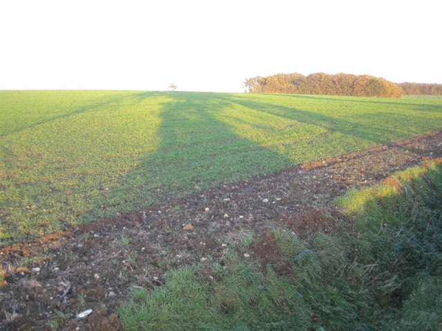
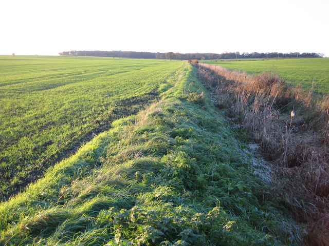
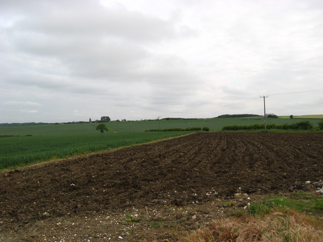
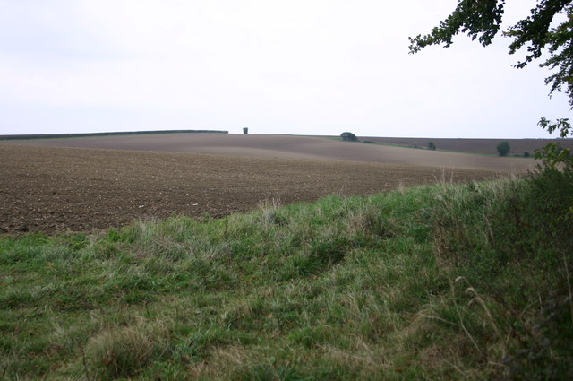
Chrishall Common is a picturesque area located in the county of Essex, England. Situated near the village of Chrishall, the common is a designated Area of Outstanding Natural Beauty, boasting an array of stunning landscapes, including downs and moorland. It covers a vast area of approximately 800 acres, making it a popular destination for nature enthusiasts and those seeking a peaceful retreat.
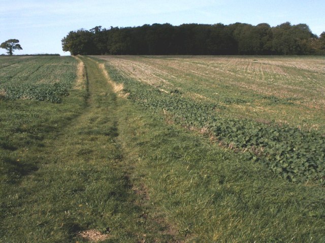
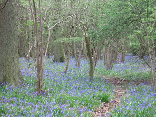
The common is characterized by its rolling hills, open grasslands, and heathland, providing a diverse habitat for a wide range of flora and fauna. Visitors can expect to see an abundance of wildflowers, such as heather and gorse, as well as various species of birds, butterflies, and reptiles that call the common their home.
For those interested in exploring the area, Chrishall Common offers several walking paths and trails, allowing visitors to immerse themselves in the natural beauty of the surroundings. The common is also intersected by the Icknield Way, an ancient trackway that dates back to prehistoric times, adding a historical element to the area.
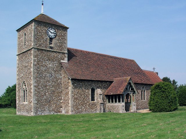
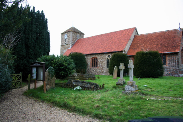
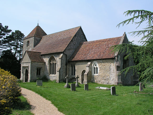
In addition to its natural attractions, Chrishall Common is also known for its rich cultural heritage. The nearby village of Chrishall is home to a charming 12th-century church, St. Nicholas Church, which is worth a visit for its beautiful architecture and historical significance.
Overall, Chrishall Common in Essex is a captivating destination that offers a harmonious blend of stunning landscapes, wildlife, and cultural heritage. Whether it's a leisurely stroll through the heathland or a peaceful moment of reflection in the presence of centuries-old landmarks, this area has something to offer for everyone.
If you have any feedback on the listing, please let us know in the comments section below.
Chrishall Common Images
Images are sourced within 2km of 52.007767/0.083819185 or Grid Reference TL4336. Thanks to Geograph Open Source API. All images are credited.


Chrishall Common is located at Grid Ref: TL4336 (Lat: 52.007767, Lng: 0.083819185)
Administrative County: Essex
District: Uttlesford
Police Authority: Essex
What 3 Words
///plump.traded.looks. Near Royston, Hertfordshire
Nearby Locations
Related Wikis
Little Chishill
Little Chishill is a village and former civil parish, now in the parish of Great and Little Chishill, in the South Cambridgeshire district, in the county...

Langley, Essex
For the historic house in Essex called Langley's, see Great Waltham. Langley is a village and civil parish near Clavering in the English county of Essex...

Wenden Lofts
Wenden Lofts is a small community in the civil parish of Elmdon, Duddenhoe End & Wenden Lofts in the Uttlesford district, in the county of Essex, England...

Duddenhoe End
Duddenhoe End is a small village in the civil parish of Elmdon & Wenden Lofts, in northwest Essex, England, and situated approximately halfway between...

Great Chishill
Great Chishill is a village and former civil parish, now in the parish of Great and Little Chishill, in the South Cambridgeshire district, in the county...

Chrishall
Chrishall (pronounced Chris hall) is a small village in the English county of Essex. It is located 12 miles (20 km) south of Cambridge and lies equidistant...
Nuthampstead
Nuthampstead is a small village and civil parish in North East Hertfordshire located a few miles south of the town of Royston. In the 2001 census the parish...
Heydon, Cambridgeshire
Heydon is a village and civil parish in Cambridgeshire, England. The parish of Heydon was transferred from Essex to Cambridgeshire in 1894. The area of...
Nearby Amenities
Located within 500m of 52.007767,0.083819185Have you been to Chrishall Common?
Leave your review of Chrishall Common below (or comments, questions and feedback).