Limekiln Wood
Wood, Forest in Sussex Lewes
England
Limekiln Wood

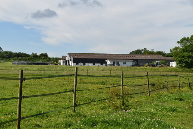
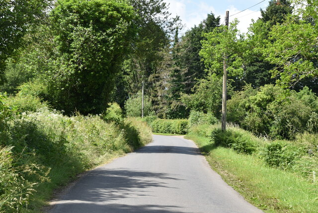
Limekiln Wood, located in Sussex, England, is a picturesque forest that spans over a vast area of approximately 100 acres. The wood is predominantly composed of mature lime trees, which give it its name. This ancient woodland dates back many centuries and is known for its rich biodiversity and natural beauty.
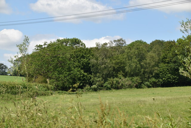
The forest is renowned for its dense and diverse vegetation, including various species of native trees such as oak, ash, and beech, which create a vibrant and vibrant canopy. The forest floor is covered in a lush carpet of ferns, bluebells, and wildflowers during the spring and summer months, attracting a wide range of insects and small animals.
Limekiln Wood is also home to a diverse array of wildlife. Visitors may spot deer, foxes, badgers, and a wide variety of bird species, including woodpeckers, owls, and songbirds. The forest provides an ideal habitat for these creatures due to its abundant food sources and sheltered environment.
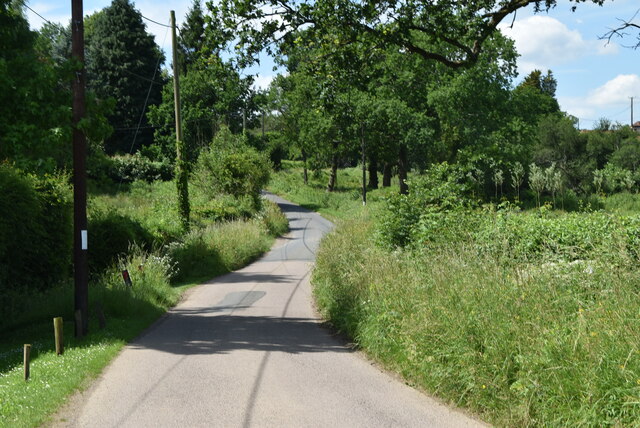
The wood offers numerous walking trails and paths, allowing visitors to explore its enchanting beauty at their leisure. The tranquil atmosphere and stunning scenery make it a popular destination for nature enthusiasts, hikers, and photographers alike.
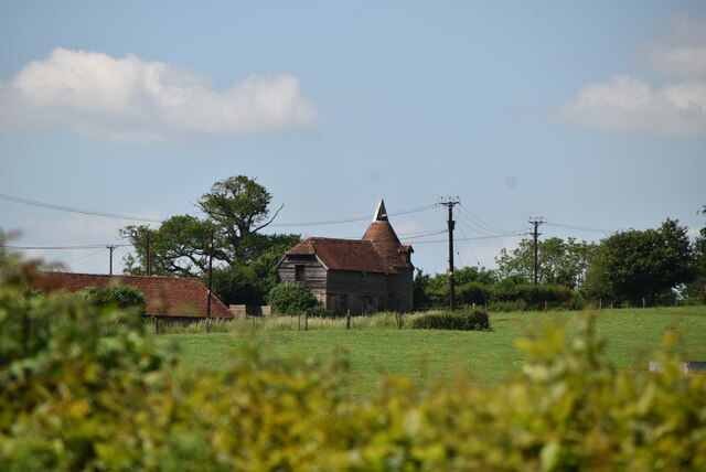
Moreover, Limekiln Wood holds historical significance, as it was once utilized for the production of lime. The remains of old lime kilns can still be found scattered throughout the forest, providing a glimpse into its industrial past.
Overall, Limekiln Wood in Sussex offers a captivating blend of natural beauty, biodiversity, and historical significance, making it a must-visit destination for those seeking a peaceful retreat in the heart of nature.
If you have any feedback on the listing, please let us know in the comments section below.
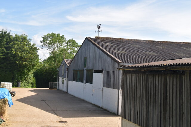
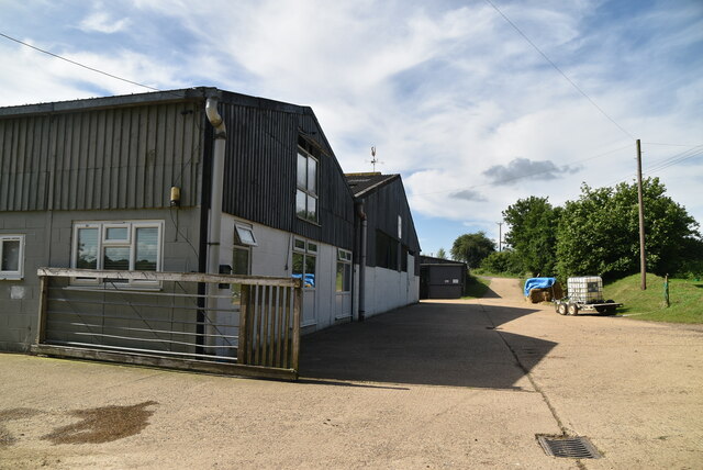
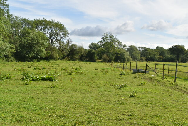
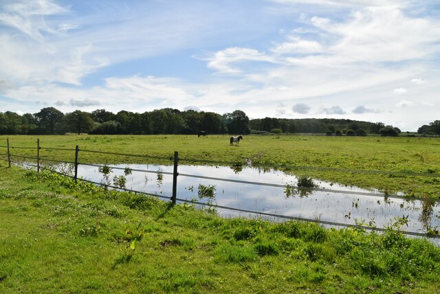
Limekiln Wood Images
Images are sourced within 2km of 50.94926/0.03986559 or Grid Reference TQ4318. Thanks to Geograph Open Source API. All images are credited.


Limekiln Wood is located at Grid Ref: TQ4318 (Lat: 50.94926, Lng: 0.03986559)
Administrative County: East Sussex
District: Lewes
Police Authority: Sussex
What 3 Words
///dusters.heartburn.buildings. Near Newick, East Sussex
Nearby Locations
Related Wikis

River Uck
The River Uck is a river in East Sussex, United Kingdom, which drains a catchment starting near Crowborough in the North, Hadlow Down to the East and Laughton...

Isfield railway station
Isfield is a preserved railway station on the closed section of the Wealden Line which served the East Sussex village of Isfield near Uckfield. Originally...

Lavender Line
The Lavender Line is a heritage railway based at Isfield Station, near Uckfield in East Sussex, England. == History == The Lavender Line was originally...

Isfield
Isfield is a small village and civil parish in the Wealden District of East Sussex in England, located north-east of Lewes. == History == The village of...

Barcombe
Barcombe is an East Sussex village and civil parish in the Lewes District of East Sussex. The parish has four settlements: old Barcombe (TQ 418 143), the...

Barcombe Mills
Barcombe Mills is a small settlement and an area of countryside including a local nature reserve near the village of Barcombe Cross in East Sussex, England...

Barcombe railway station
Barcombe was a railway station serving the village of Barcombe in East Sussex. It was part of the East Grinstead to Lewes line, part of which now makes...

Horsted Place
Horsted Place is a Tudor Revival country house, now a hotel, in Little Horsted, East Sussex, England. The current building dates to 1850, when it was built...
Nearby Amenities
Located within 500m of 50.94926,0.03986559Have you been to Limekiln Wood?
Leave your review of Limekiln Wood below (or comments, questions and feedback).