Bradness Wood

Wood, Forest in Sussex Lewes

England

Bradness Wood

The Oast House Single square kiln oast house.
The Oast House Credit: N Chadwick

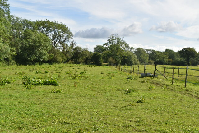
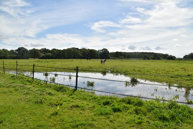
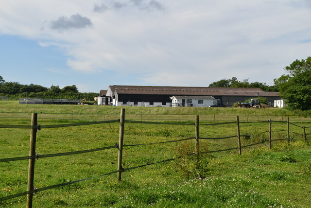
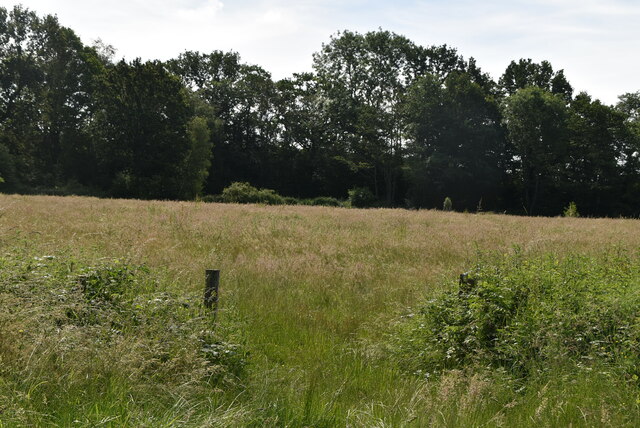
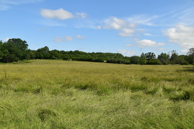
Bradness Wood is a picturesque woodland located in the county of Sussex, England. Covering an area of approximately 50 acres, it is situated in the South Downs National Park, near the village of Poynings. The wood is predominantly made up of mixed deciduous trees, including oak, beech, ash, and birch, creating a diverse and vibrant ecosystem.

The woodland is known for its tranquil ambiance and natural beauty, attracting visitors who seek a peaceful retreat from the bustling city life. A network of well-maintained footpaths allows visitors to explore the wood at their own pace, providing opportunities for leisurely walks and wildlife spotting. The wood is home to a wide variety of flora and fauna, with bluebells carpeting the forest floor in spring and a rich bird population adding to the soundscape.

In addition to its natural allure, Bradness Wood holds historical significance as well. The wood has been carefully managed for centuries using traditional methods, allowing it to retain its ancient character. It is believed that Bradness Wood was once part of the medieval hunting grounds of the nearby Bramber Castle, adding a touch of historical intrigue to the area.

Overall, Bradness Wood offers a serene and enchanting experience for nature enthusiasts, hikers, and history buffs alike. Its combination of stunning scenery, peaceful atmosphere, and historical charm make it a cherished natural gem within the Sussex countryside.

If you have any feedback on the listing, please let us know in the comments section below.

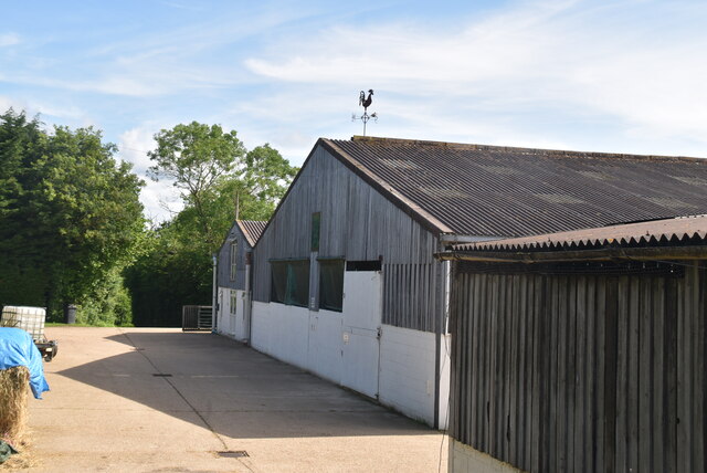
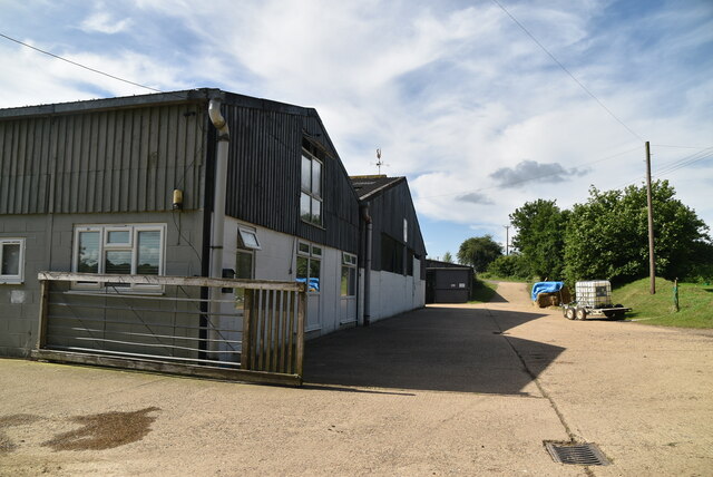
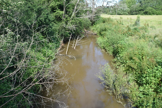
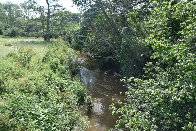
Bradness Wood Images

Images are sourced within 2km of 50.947558/0.044104765 or Grid Reference TQ4318. Thanks to Geograph Open Source API. All images are credited.

The Oast House Single square kiln oast house.
The Oast House
Single square kiln oast house.
Isfield Village Hall Isfield lies just off the main A26 Uckfield to Lewes main road, and is well hidden in the Ouse valley. The Romans established a staging post in the village, near a ford across the Ouse, this was on a section of Ermine Street which ran from Newhaven to London, passing through Lewes and Isfield and Maresfield. The village was recorded as Sifelle in the Domesday book.
More info at <span class="nowrap"><a title="http://www.villagenet.co.uk/ashdownforest/villages/isfield.php" rel="nofollow ugc noopener" href="http://www.villagenet.co.uk/ashdownforest/villages/isfield.php">Link</a><img style="margin-left:2px;" alt="External link" title="External link - shift click to open in new window" src="https://s1.geograph.org.uk/img/external.png" width="10" height="10"/></span>
Isfield Village Hall
Isfield lies just off the main A26 Uckfield to Lewes main road, and is well hidden in the Ouse valley. The Romans established a staging post in the village, near a ford across the Ouse, this was on a section of Ermine Street which ran from Newhaven to London, passing through Lewes and Isfield and Maresfield. The village was recorded as Sifelle in the Domesday book. More info at LinkExternal link
Station Rd Isfield lies just off the main A26 Uckfield to Lewes main road, and is well hidden in the Ouse valley. The Romans established a staging post in the village, near a ford across the Ouse, this was on a section of Ermine Street which ran from Newhaven to London, passing through Lewes and Isfield and Maresfield. The village was recorded as Sifelle in the Domesday book.
More info at <span class="nowrap"><a title="http://www.villagenet.co.uk/ashdownforest/villages/isfield.php" rel="nofollow ugc noopener" href="http://www.villagenet.co.uk/ashdownforest/villages/isfield.php">Link</a><img style="margin-left:2px;" alt="External link" title="External link - shift click to open in new window" src="https://s1.geograph.org.uk/img/external.png" width="10" height="10"/></span>
Station Rd
Isfield lies just off the main A26 Uckfield to Lewes main road, and is well hidden in the Ouse valley. The Romans established a staging post in the village, near a ford across the Ouse, this was on a section of Ermine Street which ran from Newhaven to London, passing through Lewes and Isfield and Maresfield. The village was recorded as Sifelle in the Domesday book. More info at LinkExternal link
Track in Isfield
Track in Isfield
Faulkners
Faulkners
Pasture
Pasture
Tile Barn Farmhouse
Tile Barn Farmhouse
Tile Barn Farm
Tile Barn Farm
Tile Barn Farm
Tile Barn Farm
A green lane
A green lane
Grassy footpath
Grassy footpath
A small pond
A small pond
Tile Barn Farm
Tile Barn Farm
Meadow
Meadow
Meadow
Meadow
River Uck The River Uck is a river in East Sussex, which drains a catchment starting near Crowborough in the North, Hadlow Down to the East and Laughton Common to the South.It flows through the town of Uckfield and into the river Ouse about 3 miles north of Lewes. The river Uck also has a scenic walk alongside it. The river burst its banks in 2000, flooding much of Uckfield and the surrounding countryside.
River Uck
The River Uck is a river in East Sussex, which drains a catchment starting near Crowborough in the North, Hadlow Down to the East and Laughton Common to the South.It flows through the town of Uckfield and into the river Ouse about 3 miles north of Lewes. The river Uck also has a scenic walk alongside it. The river burst its banks in 2000, flooding much of Uckfield and the surrounding countryside.
Meadow by the River Uck
Show me another place!

Bradness Wood is located at Grid Ref: TQ4318 (Lat: 50.947558, Lng: 0.044104765)

Administrative County: East Sussex

District: Lewes

Police Authority: Sussex

What 3 Words

///epidemics.willing.jars. Near Newick, East Sussex

Related Wikis

River Uck

The River Uck is a river in East Sussex, United Kingdom, which drains a catchment starting near Crowborough in the North, Hadlow Down to the East and Laughton...

Isfield railway station

Isfield is a preserved railway station on the closed section of the Wealden Line which served the East Sussex village of Isfield near Uckfield. Originally...

Lavender Line

The Lavender Line is a heritage railway based at Isfield Station, near Uckfield in East Sussex, England. == History == The Lavender Line was originally...

Isfield

Isfield is a small village and civil parish in the Wealden District of East Sussex in England, located north-east of Lewes. == History == The village of...

Horsted Place

Horsted Place is a Tudor Revival country house, now a hotel, in Little Horsted, East Sussex, England. The current building dates to 1850, when it was built...

Barcombe Mills

Barcombe Mills is a small settlement and an area of countryside including a local nature reserve near the village of Barcombe Cross in East Sussex, England...

Little Horsted

Little Horsted (also known as Horsted Parva) is a village and civil parish in the Wealden district of East Sussex, England. It is located two miles (3...

Barcombe

Barcombe is an East Sussex village and civil parish in the Lewes District of East Sussex. The parish has four settlements: old Barcombe (TQ 418 143), the...

Nearby Amenities

Located within 500m of 50.947558,0.044104765
Barrier: stile
Note: there are afew of these styles around, not all on footpaths
Stile: squeezer
Lat/Long: 50.9463601/0.0476113
Barrier: stile
Stile: squeezer
Lat/Long: 50.9464845/0.0477619
Barrier: stile
Stile: squeezer
Lat/Long: 50.9491861/0.0493918
Waterway: weir
Lat/Long: 50.9496822/0.0498573
Barrier: stile
Stile: squeezer
Lat/Long: 50.9441074/0.0484182
Sutton Hall
Addr City: Barcombe
Addr Postcode: BN8 5EB
Addr Street: Spithurst Road
Place: isolated_dwelling
Source Name: OS_OpenData_StreetView
Lat/Long: 50.9509214/0.0400078
Beak's Farm
Place: farm
Source Name: OS_OpenData_Streetview
Lat/Long: 50.9460868/0.0393426
Isfield Lock
Disused: yes
Seamark Type: gate
Waterway: lock_gate
Lat/Long: 50.9484493/0.0492931
Isfield Lock
Disused: yes
Seamark Type: gate
Waterway: lock_gate
Lat/Long: 50.9486337/0.0493168
The data included in this document is from www.openstreetmap.org. The data is made available under ODbL.

Have you been to Bradness Wood?

Leave your review of Bradness Wood below (or comments, questions and feedback).