Fydel's Holt

Wood, Forest in Lincolnshire East Lindsey

England

Fydel's Holt

Grass field near Ashby by Partney
Grass field near Ashby by Partney Credit: Jonathan Thacker

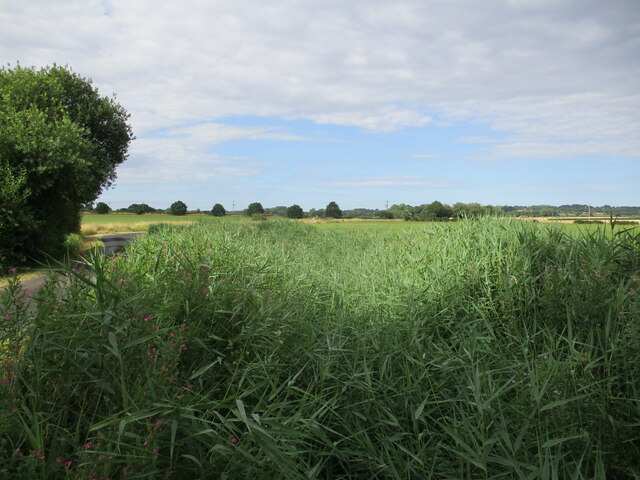
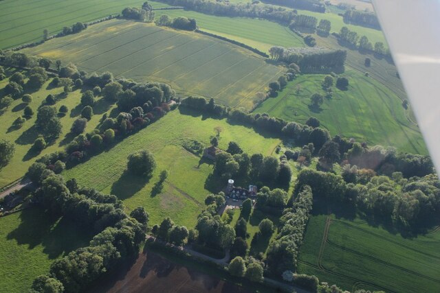
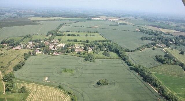
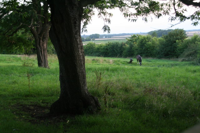
Fydel's Holt is a picturesque woodland located in Lincolnshire, England. Covering an area of approximately 100 hectares, it is a haven for nature and wildlife enthusiasts. The woodland is situated in the heart of the county, near the village of Wood, and is known for its dense forest and serene atmosphere.

The woodland is predominantly made up of deciduous trees, including oak, beech, and ash, which create a stunning canopy of greenery. This diverse mix of trees provides a perfect habitat for a variety of bird species, including woodpeckers, robins, and tawny owls. Additionally, Fydel's Holt is home to a range of small mammals, such as squirrels, rabbits, and foxes.

Visitors to Fydel's Holt can enjoy a range of activities, including walking, cycling, and birdwatching. There are several well-maintained trails that meander through the woodland, allowing visitors to explore its beauty at their own pace. The tranquil atmosphere makes it an ideal location for those seeking peace and solitude.

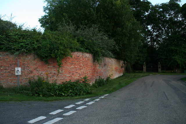
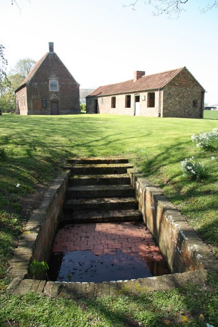
The woodland is also known for its historical significance. It is believed to have been part of a larger ancient forest that covered much of the Lincolnshire area. The remains of a medieval settlement can still be seen within the woodland, adding an element of intrigue and mystery to the site.

Overall, Fydel's Holt offers a unique and enchanting experience for nature lovers and history enthusiasts alike. Its stunning forest, abundant wildlife, and peaceful ambiance make it a must-visit destination in Lincolnshire.

If you have any feedback on the listing, please let us know in the comments section below.
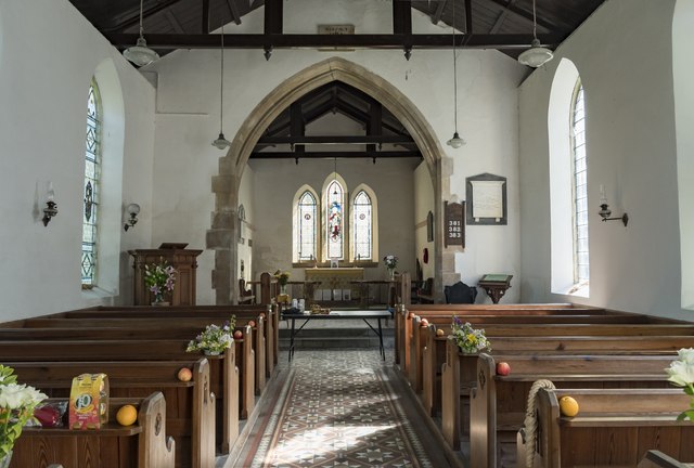
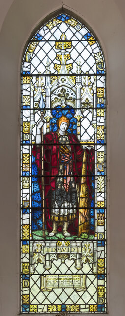
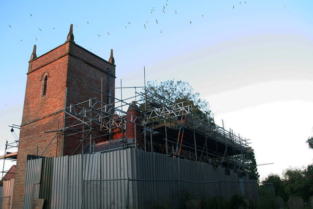
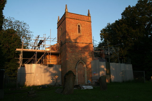
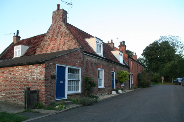
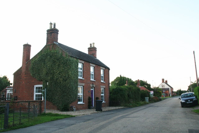
Fydel's Holt Images

Images are sourced within 2km of 53.186472/0.1488779 or Grid Reference TF4367. Thanks to Geograph Open Source API. All images are credited.

Grass field near Ashby by Partney
Reed choked drain near Ashby by Partney
Tractor tracks in a wheat field near Partney
Grebby Windmill: aerial 2023 See: <span class="nowrap"><a title="https://www.heritagegateway.org.uk/Gateway/Results_Single.aspx?uid=MLI42049&resourceID=1006" rel="nofollow ugc noopener" href="https://www.heritagegateway.org.uk/Gateway/Results_Single.aspx?uid=MLI42049&resourceID=1006">Link</a><img style="margin-left:2px;" alt="External link" title="External link - shift click to open in new window" src="https://s1.geograph.org.uk/img/external.png" width="10" height="10"/></span>
Grebby Windmill: aerial 2023
See: LinkExternal link
Earthworks at Skendleby: aerial 2023 (1)
Earthworks at Skendleby: aerial 2023 (2)
Field west of Skendleby: aerial 2023
Partney to Scremby: aerial 2023
St Benedict's church, Candlesby A view from the south east.
St Benedict's church, Candlesby
A view from the south east.
Interior, St Benedict's church, Candlesby Grade II listed

The church was built in 1838 by E. Rainey of Spilsbury, with alterations in 1897. It was built on the site of an older church which was demolished.

The church is built in brick with a slate roof. There is a western tower, nave, chancel, and vestry.

The tower is of two stages with a plain parapet and angle pinnacles. There is a belfry with louvred lights.
The nave has a plain interior with three windows north and south.
The chancel has a moulded arch, a blocked priest's door and a triple lancet east window.
Most of the fittings are from the nineteenth century.

There are several stained-glass windows.
Interior, St Benedict's church, Candlesby
Grade II listed The church was built in 1838 by E. Rainey of Spilsbury, with alterations in 1897. It was built on the site of an older church which was demolished. The church is built in brick with a slate roof. There is a western tower, nave, chancel, and vestry. The tower is of two stages with a plain parapet and angle pinnacles. There is a belfry with louvred lights. The nave has a plain interior with three windows north and south. The chancel has a moulded arch, a blocked priest's door and a triple lancet east window. Most of the fittings are from the nineteenth century. There are several stained-glass windows.
East Window, St Benedict's church, Candlesby Triple lancet window with Jesus (as sower?) central, and Alpha and Omega either side. Sadly the paint on Jesus' face is extremely faded. It commemorates Margaret Massingberd of nearby Gunby Hall who died in 1906.
Artist unknown.
East Window, St Benedict's church, Candlesby
Triple lancet window with Jesus (as sower?) central, and Alpha and Omega either side. Sadly the paint on Jesus' face is extremely faded. It commemorates Margaret Massingberd of nearby Gunby Hall who died in 1906. Artist unknown.
Stained glass window, St Benedict's church, Candlesby Depicting David with spear and shield, glass by Powells.
In memory of John Franklin Rawnsley d.1924 aged 62.
Stained glass window, St Benedict's church, Candlesby
Depicting David with spear and shield, glass by Powells. In memory of John Franklin Rawnsley d.1924 aged 62.
Restoration work at Candlesby Church
Church Lane, Candlesby
Monksthorpe Lane, Candlesby
Earthworks and ponies in a field by Candlesby Hall On the left is a miniature pony, not a foal!
Earthworks and ponies in a field by Candlesby Hall
On the left is a miniature pony, not a foal!
Wall of Candlesby Hall on Monksthorpe Lane
Show me another place!

Fydel's Holt is located at Grid Ref: TF4367 (Lat: 53.186472, Lng: 0.1488779)

Administrative County: Lincolnshire

District: East Lindsey

Police Authority: Lincolnshire

What 3 Words

///overlaid.beamed.tomb. Near Spilsby, Lincolnshire

Related Wikis

Scremby

Scremby is a village in the civil parish of Ashby with Scremby, in the East Lindsey district of Lincolnshire, England. It is situated about 4 miles (6...

Ashby with Scremby

Ashby with Scremby is a civil parish in the East Lindsey district of Lincolnshire, England, with a population of 147 (2001 census), increasing to 179 at...

Ashby by Partney

Ashby by Partney is a village and former civil parish, now in the parish of Ashby with Scremby, in the East Lindsey district of Lincolnshire, England....

Candlesby

Candlesby is a village and former civil parish, now in the parish of Candlesby with Gunby, in the East Lindsey district of Lincolnshire, England. It is...

Candlesby with Gunby

Candlesby with Gunby is a civil parish in the East Lindsey district of Lincolnshire, England, about 5 miles (8.0 km) east of the town of Spilsby, and includes...

Skendleby Priory

Skendleby Priory was a priory in the village of Skendleby, Lincolnshire, England. The believed remains of St James Chapel, Skendleby Priory, were uncovered...

Skendleby

Skendleby is a small village and civil parish in the East Lindsey district of Lincolnshire, England. It is situated near to the A158 and lies 35 miles...

Monksthorpe

Monksthorpe is a hamlet in the district of East Lindsey, Lincolnshire, England. It lies 3 miles (5 km) east from the town of Spilsby and north from the...

Nearby Amenities

Located within 500m of 53.186472,0.1488779
Bus Stop
Scremby Crossroads
Naptan AtcoCode: 270000008257
Naptan Bearing: SE
Naptan CommonName: Scremby Crossroads
Naptan Indicator: Eastbound
Naptan Landmark: Greengate Road
Naptan NaptanCode: lingpjdt
Naptan Street: Lowgate Road
Naptan Verified: no
Source: naptan_import
Lat/Long: 53.1876306/0.1459179
Bus Stop
Scremby Crossroads
Naptan AtcoCode: 270000008258
Naptan Bearing: NW
Naptan CommonName: Scremby Crossroads
Naptan Indicator: Westbound
Naptan Landmark: Northfield Road
Naptan NaptanCode: lingpjdw
Naptan Street: Lowgate Road
Naptan Verified: no
Source: naptan_import
Lat/Long: 53.1877616/0.1451311
Scotland Farm
Historic Place: farm
Source: Bing
Lat/Long: 53.1851308/0.1437846
Scremby Grange
Place: isolated_dwelling
Source: Bing
Lat/Long: 53.1861217/0.1478435
The data included in this document is from www.openstreetmap.org. The data is made available under ODbL.

Have you been to Fydel's Holt?

Leave your review of Fydel's Holt below (or comments, questions and feedback).