Ashby with Scremby
Civil Parish in Lincolnshire East Lindsey
England
Ashby with Scremby

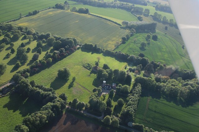
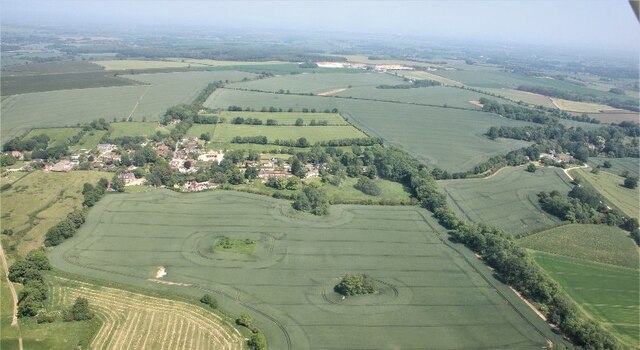
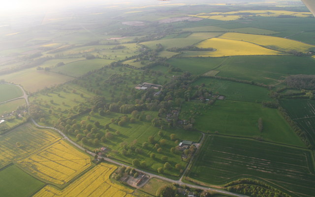
Ashby with Scremby is a civil parish located in the East Lindsey district of Lincolnshire, England. Situated approximately 5 miles northwest of the market town of Spilsby, it covers an area of about 11 square miles. The parish is predominantly rural, with a small population of around 200 residents.
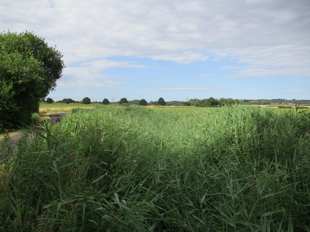
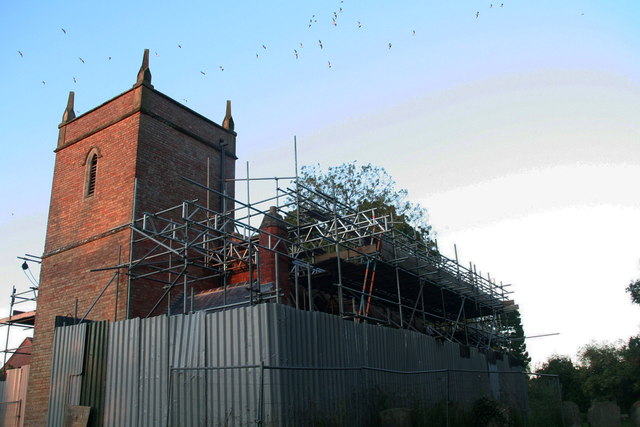
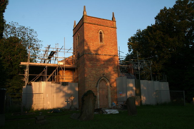
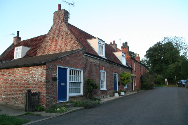
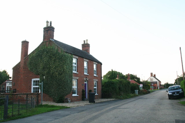
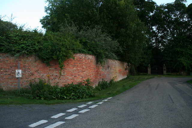
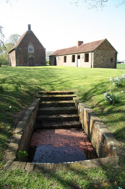
The parish consists of two villages, Ashby and Scremby, which are separated by open fields and farmland. Ashby is the larger of the two villages and is home to the parish church, St. Mary's, which dates back to the 12th century. The village also has a primary school, a village hall, and a few local businesses, including a pub.
Scremby, on the other hand, is a much smaller village with a handful of houses and a church dedicated to St. Peter and St. Paul. Both villages are surrounded by picturesque countryside, offering beautiful views and peaceful walks.
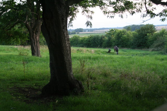
The economy of Ashby with Scremby is primarily centered around agriculture, with many residents working in farming or related industries. The area is known for its fertile soil, which supports the growth of various crops and the rearing of livestock.
Despite its small size, Ashby with Scremby offers a tight-knit community atmosphere and a tranquil rural lifestyle. The parish is well connected to nearby towns and villages via road networks, making it accessible for those seeking a peaceful countryside retreat.
If you have any feedback on the listing, please let us know in the comments section below.
Ashby with Scremby Images
Images are sourced within 2km of 53.184258/0.146919 or Grid Reference TF4367. Thanks to Geograph Open Source API. All images are credited.


Ashby with Scremby is located at Grid Ref: TF4367 (Lat: 53.184258, Lng: 0.146919)
Administrative County: Lincolnshire
District: East Lindsey
Police Authority: Lincolnshire
What 3 Words
///sourcing.vineyard.clicker. Near Spilsby, Lincolnshire
Nearby Locations
Related Wikis

Scremby
Scremby is a village in the civil parish of Ashby with Scremby, in the East Lindsey district of Lincolnshire, England. It is situated about 4 miles (6...

Ashby with Scremby
Ashby with Scremby is a civil parish in the East Lindsey district of Lincolnshire, England, with a population of 147 (2001 census), increasing to 179 at...

Ashby by Partney
Ashby by Partney is a village and former civil parish, now in the parish of Ashby with Scremby, in the East Lindsey district of Lincolnshire, England....

Candlesby with Gunby
Candlesby with Gunby is a civil parish in the East Lindsey district of Lincolnshire, England, about 5 miles (8.0 km) east of the town of Spilsby, and includes...

Candlesby
Candlesby is a village and former civil parish, now in the parish of Candlesby with Gunby, in the East Lindsey district of Lincolnshire, England. It is...
Monksthorpe
Monksthorpe is a hamlet in the district of East Lindsey, Lincolnshire, England. It lies 3 miles (5 km) east from the town of Spilsby and north from the...

Skendleby Priory
Skendleby Priory was a priory in the village of Skendleby, Lincolnshire, England. The believed remains of St James Chapel, Skendleby Priory, were uncovered...

Skendleby
Skendleby is a small village and civil parish in the East Lindsey district of Lincolnshire, England. It is situated near to the A158 and lies 35 miles...
Nearby Amenities
Located within 500m of 53.184258,0.146919Have you been to Ashby with Scremby?
Leave your review of Ashby with Scremby below (or comments, questions and feedback).