Ashby Woulds
Civil Parish in Leicestershire North West Leicestershire
England
Ashby Woulds
Ashby Woulds is a civil parish located in the northwestern part of Leicestershire, England. It covers an area of approximately 16.7 square kilometers and is situated within the National Forest. The parish is named after the nearby town of Ashby-de-la-Zouch and the former coal mining area known as "The Woulds."
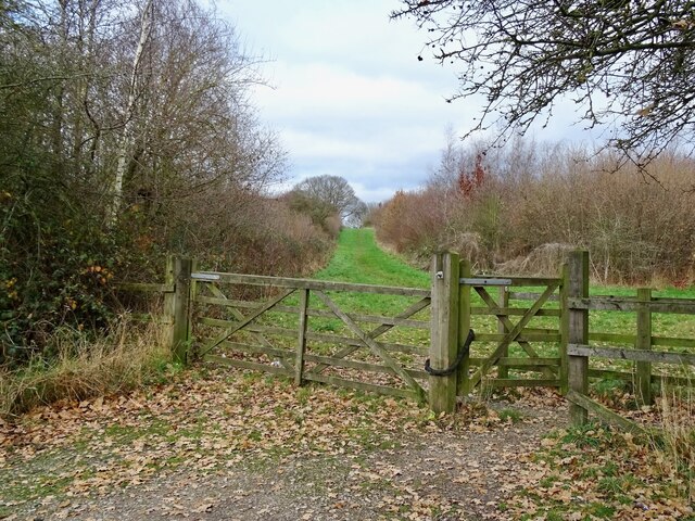
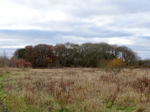
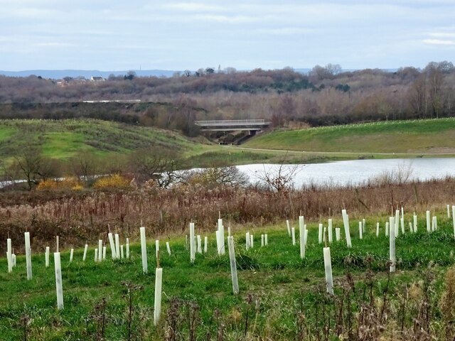
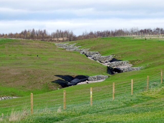
Ashby Woulds is a rural area with a population of around 1,500 residents. The landscape is characterized by a mix of woodlands, farmlands, and open spaces, providing a peaceful and picturesque setting. The National Forest, which is a large-scale environmental regeneration project, has made a significant impact on the area, creating new woodlands and enhancing biodiversity.
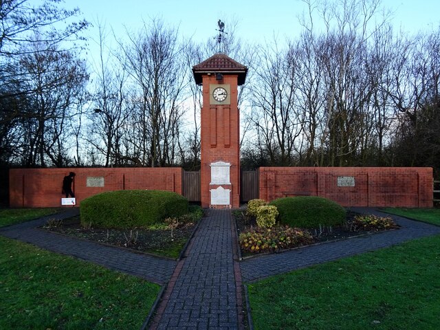
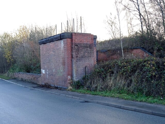
The parish has a rich history, with evidence of human settlement dating back to the Neolithic period. It was predominantly an agricultural area until the 19th century when the discovery of coal led to the establishment of collieries and the growth of mining communities. The decline of the coal industry in the mid-20th century resulted in the closure of the collieries, but the heritage of the mining era can still be seen in some of the buildings and landmarks.
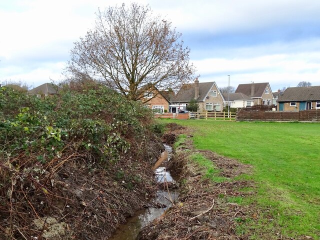
Ashby Woulds offers a range of amenities and facilities for its residents, including a primary school, a village hall, and various recreational areas. The nearby town of Ashby-de-la-Zouch provides additional services and amenities, such as shops, restaurants, and healthcare facilities. The parish is well-connected, with good road links to nearby towns and cities, including Burton upon Trent and Leicester. Overall, Ashby Woulds offers a tranquil rural lifestyle with access to essential amenities and the natural beauty of the National Forest.
If you have any feedback on the listing, please let us know in the comments section below.
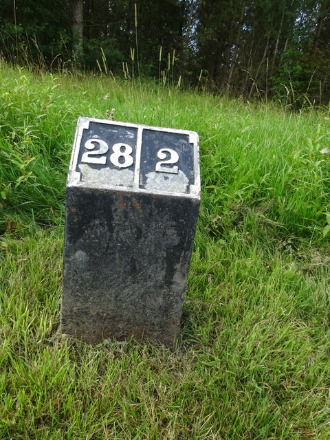
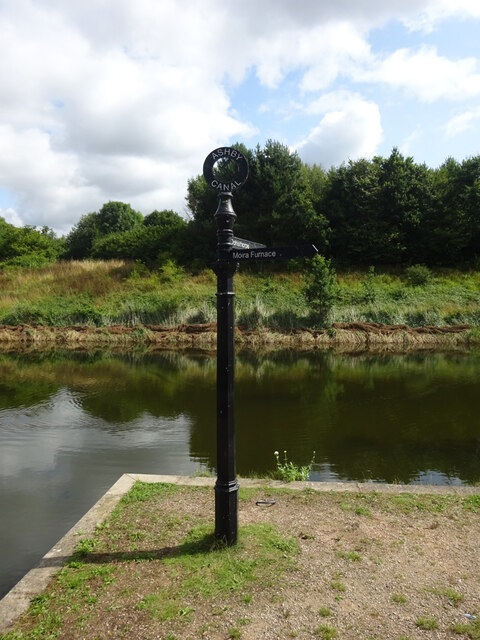
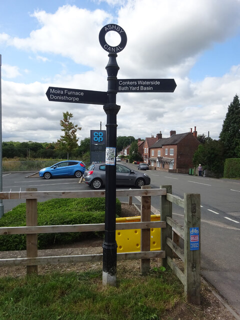
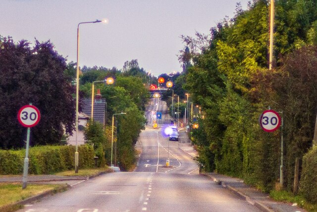
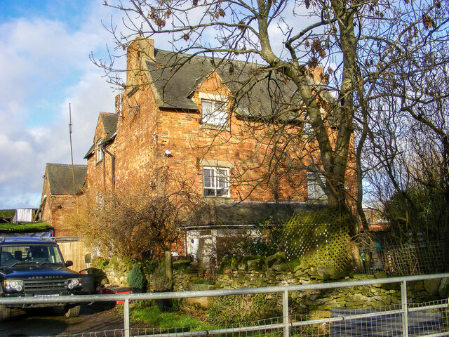
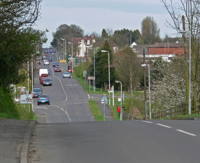
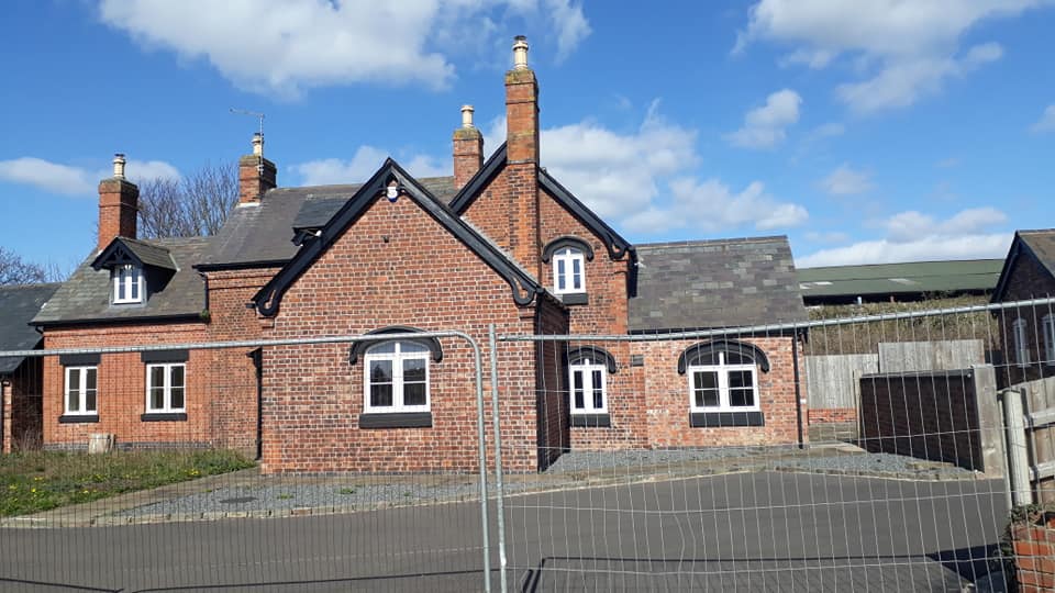
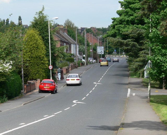
Ashby Woulds Images
Images are sourced within 2km of 52.745045/-1.535516 or Grid Reference SK3116. Thanks to Geograph Open Source API. All images are credited.


Ashby Woulds is located at Grid Ref: SK3116 (Lat: 52.745045, Lng: -1.535516)
Administrative County: Leicestershire
District: North West Leicestershire
Police Authority: Leicestershire
What 3 Words
///aliens.mammal.cope. Near Moira, Leicestershire
Nearby Locations
Related Wikis
Ashby Woulds
Ashby Woulds is a civil parish in Leicestershire, England. The population (including Albert Village) at the 2011 census was 3,763. It is in the North...
Moira railway station (England)
Moira railway station was a railway station at Moira, Leicestershire on the Leicester to Burton upon Trent Line. == History == The line was built for...
Moira, Leicestershire
Moira is a former mining village about 2.5 miles (4 km) south-west of Ashby-de-la-Zouch in North West Leicestershire, England. The village is about 3 miles...

Overseal and Moira railway station
Overseal and Moira railway station served the village of Overseal, Derbyshire, England, from 1873 to 1890 on the Ashby and Nuneaton Joint Railway. ��2...
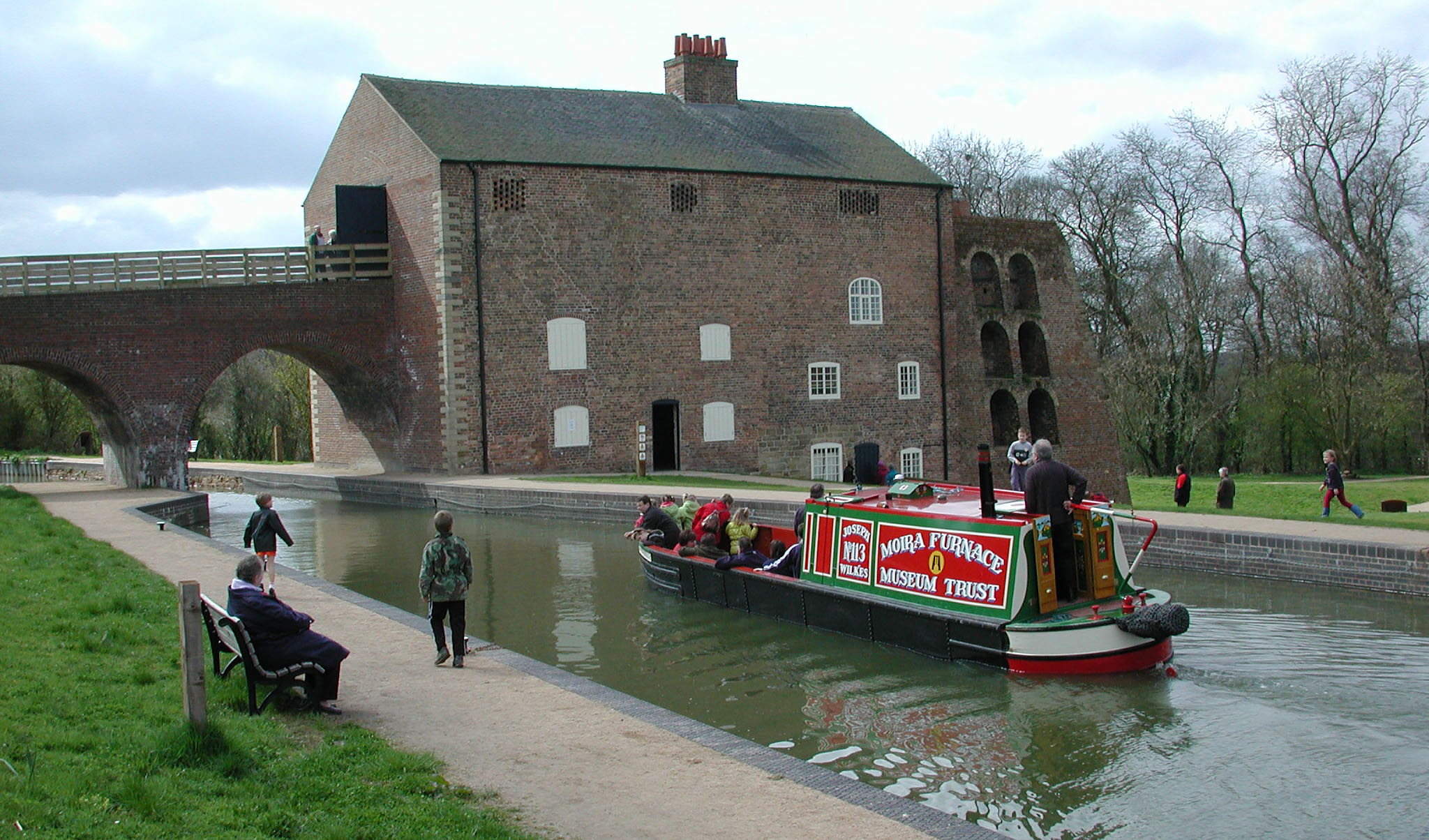
Moira Furnace
Moira Furnace is a nineteenth-century iron-making blast furnace located in Moira, Leicestershire, on the banks of the Ashby-de-la-Zouch Canal. Built by...

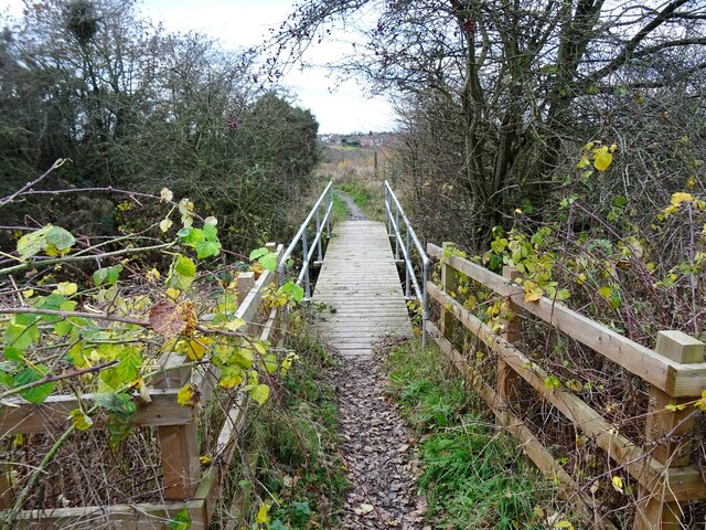
Ashby Woulds Heritage Trail
The Ashby Woulds Heritage Trail is a footpath and cycleway along what was formerly the Ashby and Nuneaton railway line between Spring Cottage and Measham...

Albert Village
Albert Village is a small post-industrial village in Leicestershire, England and is located approximately 1.5 miles (2.4 km) from the town of Swadlincote...

Short Heath, Derbyshire
Short Heath is a hamlet near Overseal, in South Derbyshire. It is on the border with Leicestershire and has a sign where it claims to be the centre of...
Nearby Amenities
Located within 500m of 52.745045,-1.535516Have you been to Ashby Woulds?
Leave your review of Ashby Woulds below (or comments, questions and feedback).