Blackbrook Wood
Wood, Forest in Kent
England
Blackbrook Wood
Blackbrook Wood is a picturesque woodland located in the county of Kent, England. Situated near the town of Tunbridge Wells, this enchanting forest covers an area of approximately 60 hectares, offering visitors a serene and peaceful escape from the hustle and bustle of everyday life.
The wood is predominantly made up of mature broadleaf trees, including oak, beech, and chestnut, which create a dense canopy overhead. The forest floor is covered in a rich carpet of moss, ferns, and wildflowers, providing a haven for a diverse range of flora and fauna.
Numerous footpaths and trails wind their way through Blackbrook Wood, inviting visitors to explore its natural beauty. These paths lead to hidden clearings, babbling brooks, and tranquil ponds, adding to the forest's charm. Birdwatchers will be delighted to spot various species such as woodpeckers, nuthatches, and the occasional tawny owl. Additionally, small mammals like squirrels, rabbits, and foxes can often be spotted scurrying through the undergrowth.
Blackbrook Wood is a popular destination for nature lovers, hikers, and families seeking a day out in the great outdoors. Its proximity to Tunbridge Wells makes it easily accessible, and there are ample parking facilities nearby. The wood is well-maintained, with picnic areas and benches scattered throughout, allowing visitors to relax and soak in the peaceful ambiance.
Overall, Blackbrook Wood is a hidden gem in the heart of Kent, offering a tranquil escape in a stunning natural setting. Whether you are a nature enthusiast or simply seeking some respite from urban life, this woodland is sure to captivate and rejuvenate your senses.
If you have any feedback on the listing, please let us know in the comments section below.
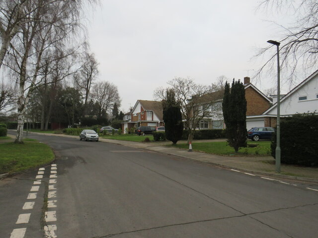
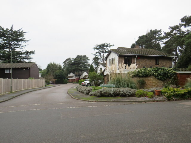
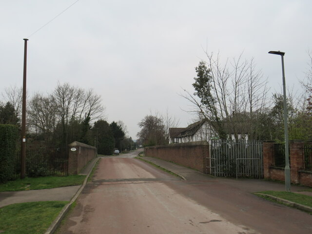
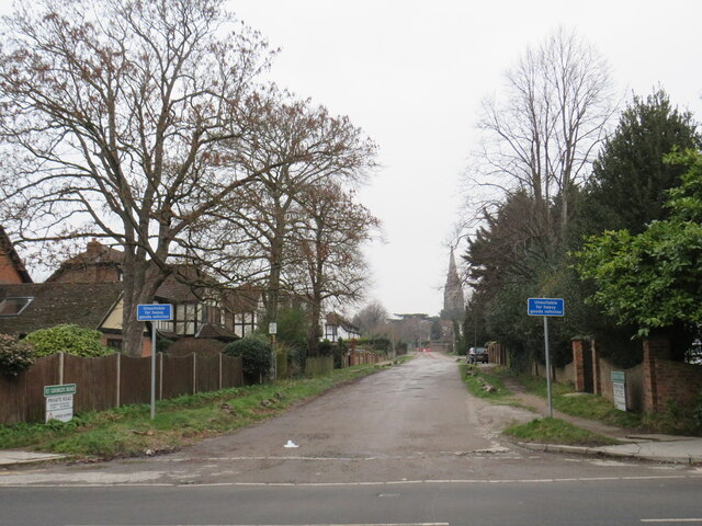
Blackbrook Wood Images
Images are sourced within 2km of 51.396022/0.064062969 or Grid Reference TQ4368. Thanks to Geograph Open Source API. All images are credited.
Blackbrook Wood is located at Grid Ref: TQ4368 (Lat: 51.396022, Lng: 0.064062969)
Unitary Authority: Bromley
Police Authority: Metropolitan
What 3 Words
///useful.deck.love. Near Chislehurst, London
Nearby Locations
Related Wikis

Chislehurst Junction
Chislehurst Junction is an important railway junction near Chislehurst in the London Borough of Bromley, England. It is the point where the South Eastern...

Jubilee Country Park
Jubilee Country Park is a 62-acre (25 ha) public park in Petts Wood in the London Borough of Bromley. It is a Local Nature Reserve and a Site of Metropolitan...
Bromley High School
Bromley High School is a girls' independent school located in Bickley, Greater London, part of the Girls' Day School Trust. Originally located in the middle...

Petts Wood railway station
Petts Wood railway station is on the South Eastern Main Line, serving Petts Wood in the London Borough of Bromley, south-eastern Greater London. It is...
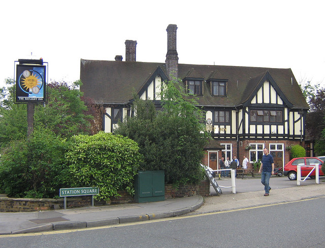
The Daylight Inn
The Daylight Inn is a Grade II listed public house at Station Square, Petts Wood, Orpington, in the London Borough of Bromley. It was built in 1935 for...
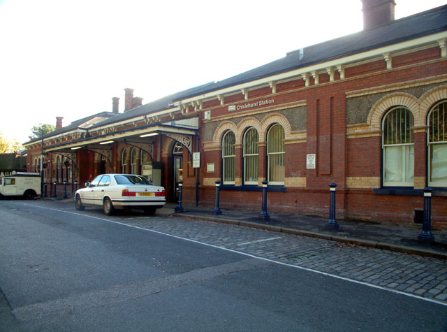
Chislehurst railway station
Chislehurst railway station is on the South Eastern Main Line, serving the neighbourhood of Chislehurst in the London Borough of Bromley. It is 11 miles...
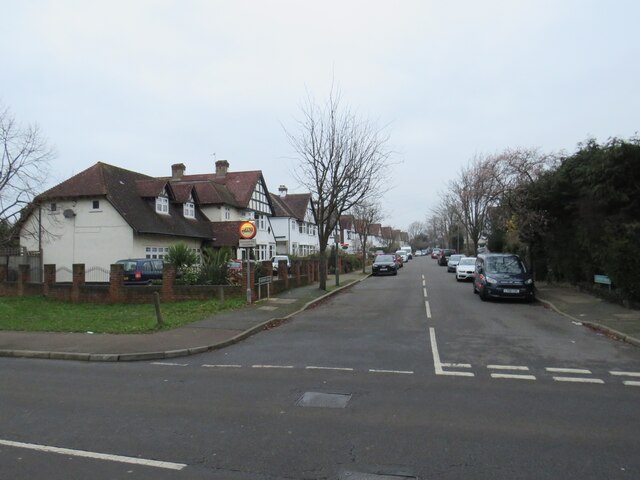
Petts Wood
Petts Wood is a town in south-east London, England, previously located in the historic county of Kent. It lies south of Chislehurst, west of St Paul's...

Bickley
Bickley is a district and a local government electoral ward in South East London, within the London Borough of Bromley. It is located 10.4 miles (16.7...
Nearby Amenities
Located within 500m of 51.396022,0.064062969Have you been to Blackbrook Wood?
Leave your review of Blackbrook Wood below (or comments, questions and feedback).