Farley Common
Wood, Forest in Kent Sevenoaks
England
Farley Common
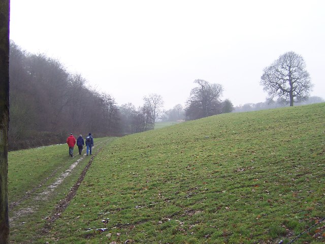
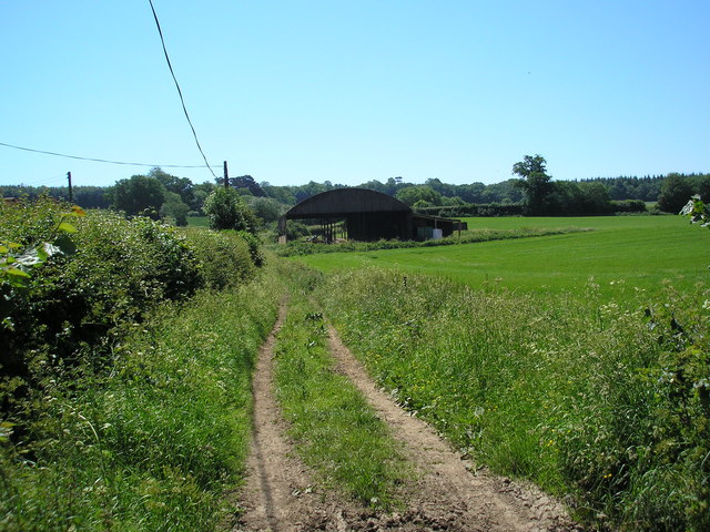
Farley Common is a picturesque woodland area located in the county of Kent, England. Situated near the village of Shipbourne, the common covers an area of approximately 60 acres and is renowned for its natural beauty and diverse wildlife.
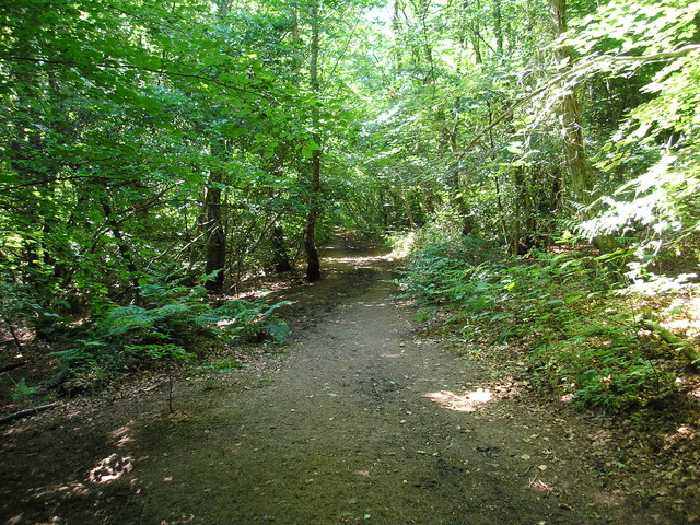
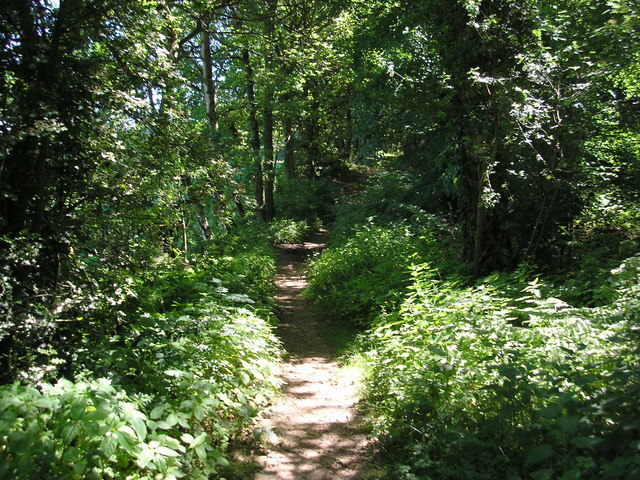
The common is primarily characterized by its dense woodland, consisting mainly of oak, beech, and birch trees. These majestic trees create a serene and tranquil atmosphere, providing a perfect escape from the hustle and bustle of nearby towns and cities.
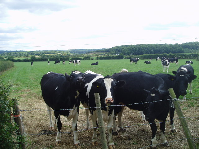
The wildlife in Farley Common is abundant and varied. The woodland provides a habitat for a wide range of bird species, including woodpeckers, owls, and songbirds. Additionally, the common is home to various mammals such as deer, foxes, and rabbits. Nature enthusiasts and birdwatchers often visit the area to observe and appreciate the local flora and fauna.
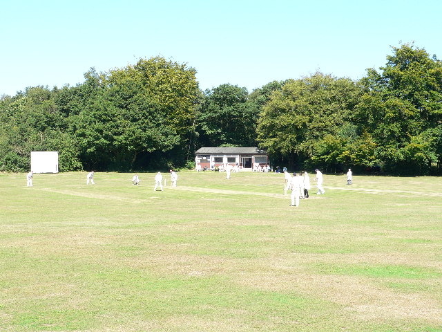
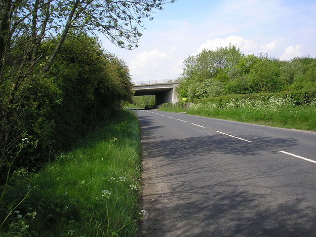
The common is also a popular spot for outdoor activities, such as walking and hiking. There are several well-marked trails that wind their way through the woodland, offering visitors the opportunity to explore the natural beauty of the area. These trails provide access to different parts of the common, allowing visitors to discover hidden gems and breathtaking viewpoints.
Overall, Farley Common in Kent is a haven for nature lovers and adventurers alike. Its lush woodland, diverse wildlife, and peaceful ambiance make it an ideal destination for those seeking an escape into nature's embrace.
If you have any feedback on the listing, please let us know in the comments section below.
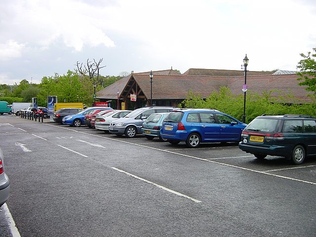
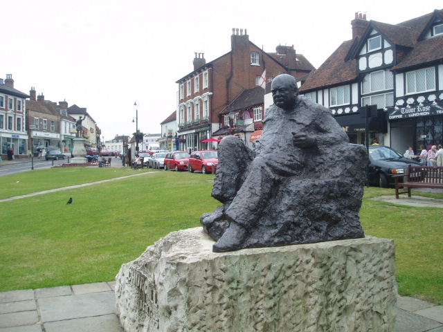
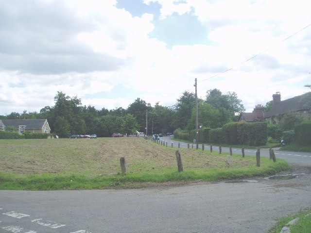
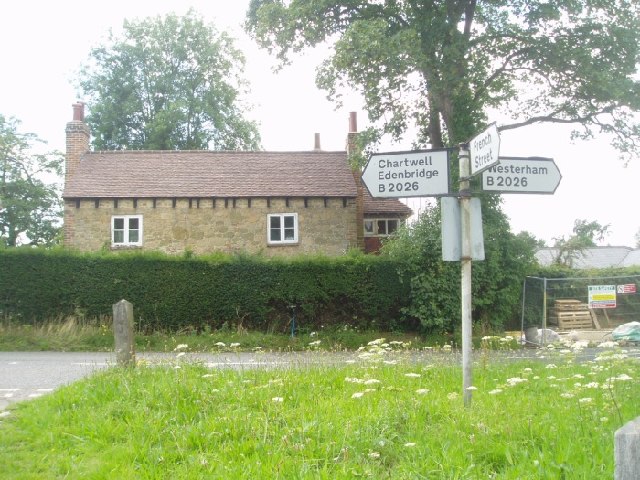
Farley Common Images
Images are sourced within 2km of 51.267012/0.05829128 or Grid Reference TQ4353. Thanks to Geograph Open Source API. All images are credited.


Farley Common is located at Grid Ref: TQ4353 (Lat: 51.267012, Lng: 0.05829128)
Administrative County: Kent
District: Sevenoaks
Police Authority: Kent
What 3 Words
///unwanted.swing.clear. Near Westerham, Kent
Nearby Locations
Related Wikis

Squerryes Estate
Squerryes Estate is a vineyard, estate, and location of Squerryes Court, a grade I listed building in Kent, England. It is a producer of English sparkling...

Squerryes Court
Squerryes Court is a late 17th-century manor house that stands just outside the town of Westerham in Kent. The house, which has been held by the same family...

Westerham
Westerham is a town and civil parish in the Sevenoaks District of Kent, England. It is located 3.4 miles east of Oxted and 6 miles west of Sevenoaks, adjacent...

Westerham Wood
Westerham Wood is a 43.2 hectares (107 acres) biological Site of Special Scientific Interest north of Westerham in Kent.This ancient oak wood on Gault...
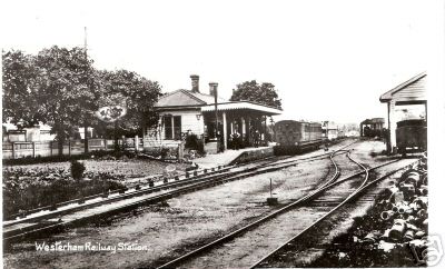
Westerham railway station
Westerham railway station served the village of Westerham in Kent from 1881 until its closure in 1961. == History == No railway was ever constructed all...

Quebec House
Quebec House is the birthplace of General James Wolfe on what is now known as Quebec Square in Westerham, Kent, England. The house is listed Grade I on...

Clacket Lane services
Clacket Lane services is a motorway service station on the M25 motorway midway between junctions 5 and 6, in Surrey, United Kingdom, adjacent to the parish...

Pilgrims' Way
The Pilgrims' Way (also Pilgrim's Way or Pilgrims Way) is the historical route supposedly taken by pilgrims from Winchester in Hampshire, England, to the...
Nearby Amenities
Located within 500m of 51.267012,0.05829128Have you been to Farley Common?
Leave your review of Farley Common below (or comments, questions and feedback).