Cross Dyke
Heritage Site in Kent Sevenoaks
England
Cross Dyke
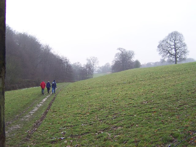
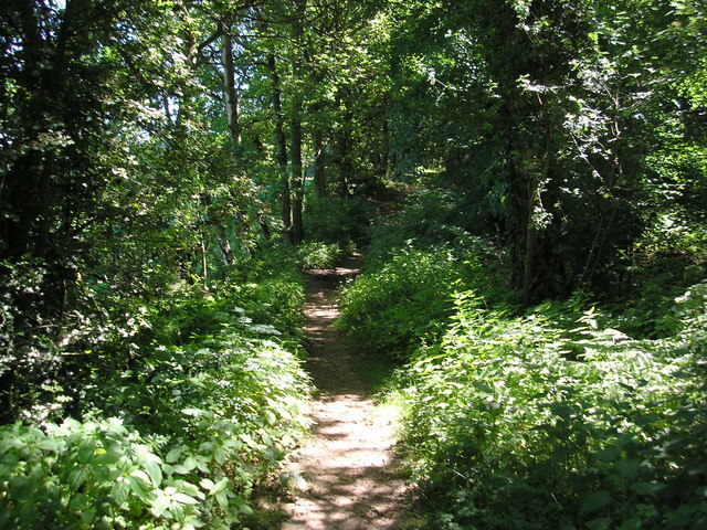
Cross Dyke is an ancient earthwork located in the county of Kent, England. It is a significant heritage site that holds immense historical and archaeological value. The earthwork stretches for approximately 400 meters, running east to west across the countryside near the village of Ospringe.
Believed to have been constructed during the Late Bronze Age or Early Iron Age, Cross Dyke consists of a substantial bank and ditch combination. The bank measures around 5 meters in width and stands at a height of 1.5 meters, while the ditch is approximately 4 meters wide and 1.2 meters deep. The earthwork is well-preserved, with the original construction materials still visible.
The purpose of Cross Dyke remains uncertain, although it is generally believed to have served as a territorial boundary or a defensive structure. Its strategic position on high ground suggests it may have been used to control movement along the ancient trackways that crisscrossed the landscape. The site's location also provides commanding views of the surrounding countryside, further supporting its potential defensive function.
Excavations conducted in the early 20th century uncovered flint tools, pottery fragments, and animal bones, giving insight into the activities that took place at Cross Dyke during its occupation. These findings indicate that the site was likely used for habitation or as a gathering place for the local community.
Cross Dyke's historical significance, coupled with its well-preserved state, makes it an important heritage site in Kent. It offers a glimpse into the region's ancient past and provides valuable information for archaeologists and historians studying the prehistoric period.
If you have any feedback on the listing, please let us know in the comments section below.
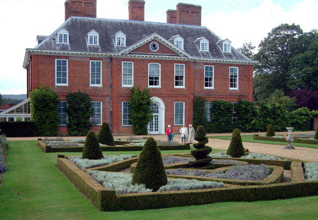
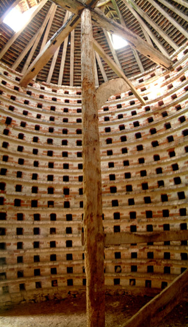
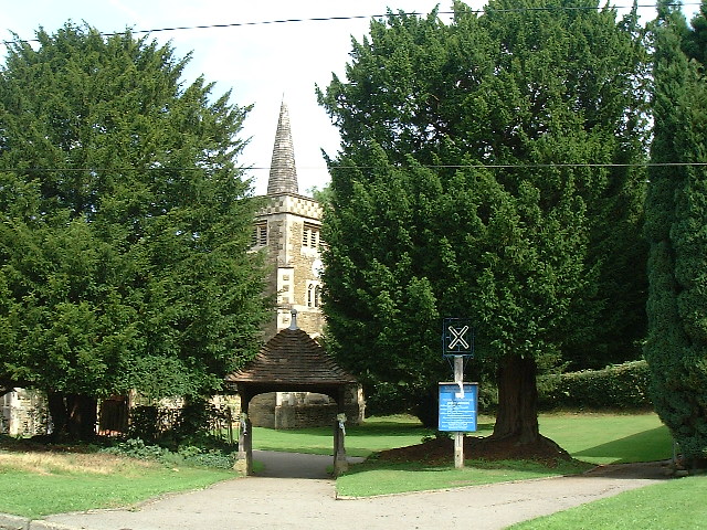
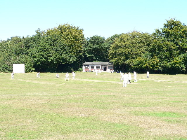
Cross Dyke Images
Images are sourced within 2km of 51.262/0.057 or Grid Reference TQ4353. Thanks to Geograph Open Source API. All images are credited.
Cross Dyke is located at Grid Ref: TQ4353 (Lat: 51.262, Lng: 0.057)
Administrative County: Kent
District: Sevenoaks
Police Authority: Kent
What 3 Words
///mull.lend.valve. Near Westerham, Kent
Nearby Locations
Related Wikis

Squerryes Estate
Squerryes Estate is a vineyard, estate, and location of Squerryes Court, a grade I listed building in Kent, England. It is a producer of English sparkling...

Squerryes Court
Squerryes Court is a late 17th-century manor house that stands just outside the town of Westerham in Kent. The house, which has been held by the same family...

Westerham
Westerham is a town and civil parish in the Sevenoaks District of Kent, England. It is located 3.4 miles east of Oxted and 6 miles west of Sevenoaks, adjacent...

Quebec House
Quebec House is the birthplace of General James Wolfe on what is now known as Quebec Square in Westerham, Kent, England. The house is listed Grade I on...
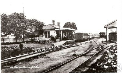
Westerham railway station
Westerham railway station served the village of Westerham in Kent from 1881 until its closure in 1961. == History == No railway was ever constructed all...

Westerham Wood
Westerham Wood is a 43.2 hectares (107 acres) biological Site of Special Scientific Interest north of Westerham in Kent.This ancient oak wood on Gault...

Clacket Lane services
Clacket Lane services is a motorway service station on the M25 motorway midway between junctions 5 and 6, in Surrey, United Kingdom, adjacent to the parish...

Westerham Mines
Westerham Mines is a 25.4-hectare (63-acre) biological Site of Special Scientific Interest south of Westerham in Kent.The main interest of this site lies...
Nearby Amenities
Located within 500m of 51.262,0.057Have you been to Cross Dyke?
Leave your review of Cross Dyke below (or comments, questions and feedback).