Hazel Wood

Wood, Forest in Sussex Wealden

England

Hazel Wood

Brambletye House ruins Built in 1631 and abandoned towards the end of the 17th century
Brambletye House ruins Credit: Nigel Freeman

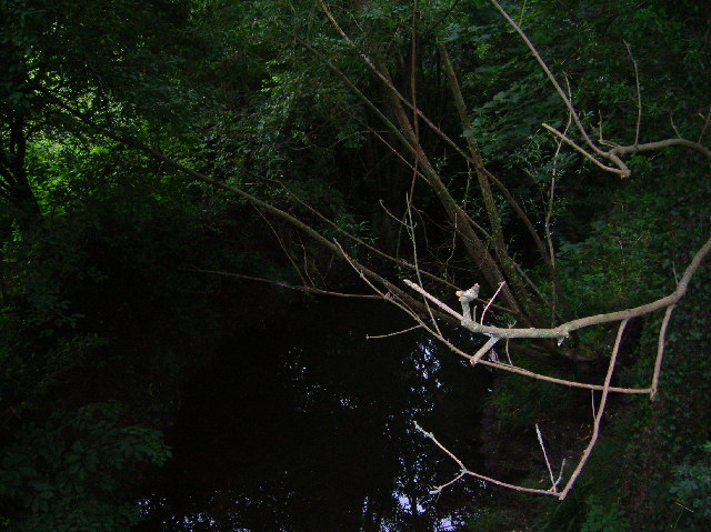
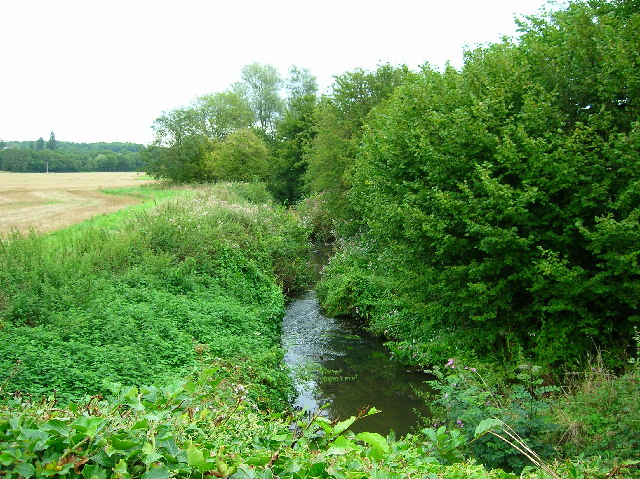
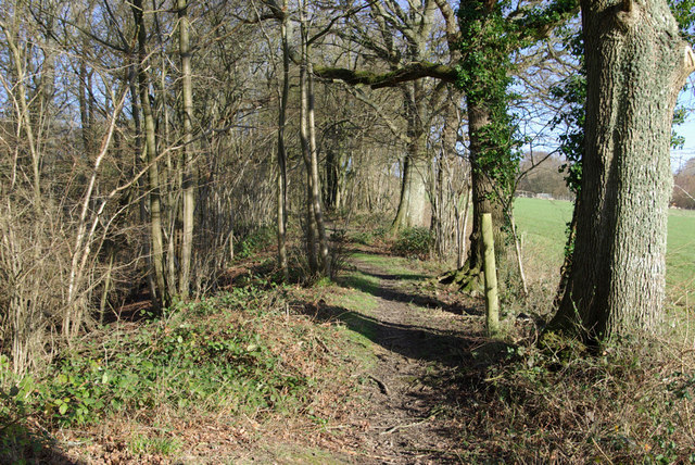
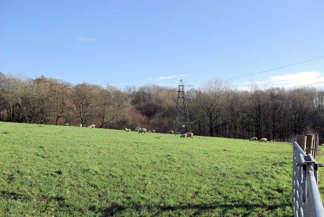
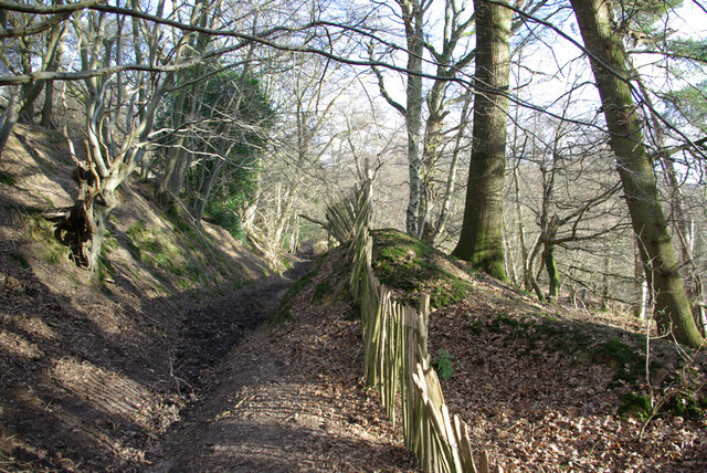
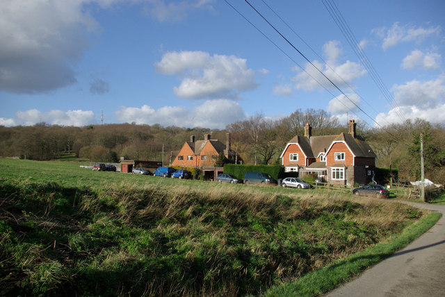
Hazel Wood, located in Sussex, England, is a picturesque forest nestled in the South Downs National Park. This enchanting woodland spans over 100 acres and is renowned for its natural beauty and diverse ecosystem. The forest gets its name from the abundance of hazel trees that dominate the landscape, creating a stunning canopy of greenery.

The woodland is a haven for nature enthusiasts and hikers alike, offering a multitude of walking trails that wind through its ancient trees and tranquil meadows. Wildlife thrives in Hazel Wood, with a rich variety of birds, insects, and mammals calling it home. The forest is particularly known for its population of red squirrels, which can often be spotted scurrying through the treetops.

Hazel Wood is also steeped in history, with evidence of human habitation dating back thousands of years. Archaeological sites within the forest have revealed remnants of ancient settlements, including tools, pottery, and burial mounds, providing a glimpse into the area's past.

Visitors to Hazel Wood can enjoy a range of recreational activities, such as birdwatching, photography, and picnicking. The forest is equipped with well-maintained pathways and picnic areas, making it accessible to people of all ages and abilities.

Overall, Hazel Wood offers a serene and idyllic escape from the hustle and bustle of daily life, providing a sanctuary where visitors can immerse themselves in the beauty of nature and connect with the rich history of the Sussex countryside.

If you have any feedback on the listing, please let us know in the comments section below.
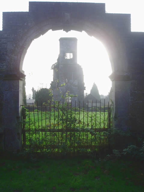
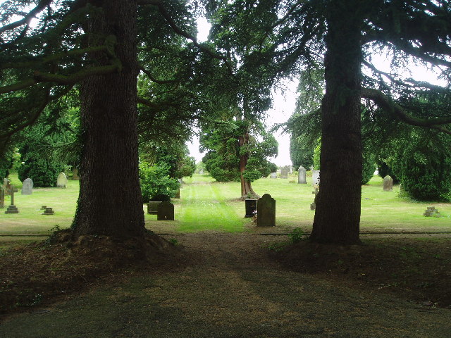
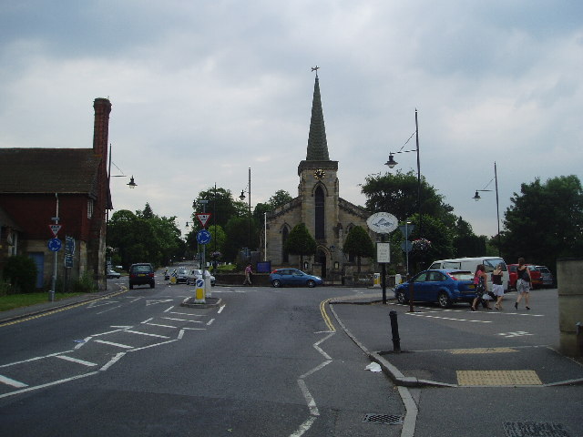
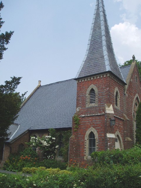
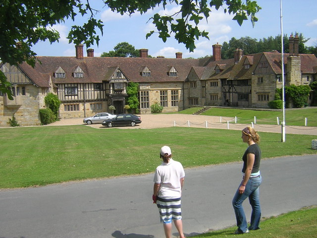
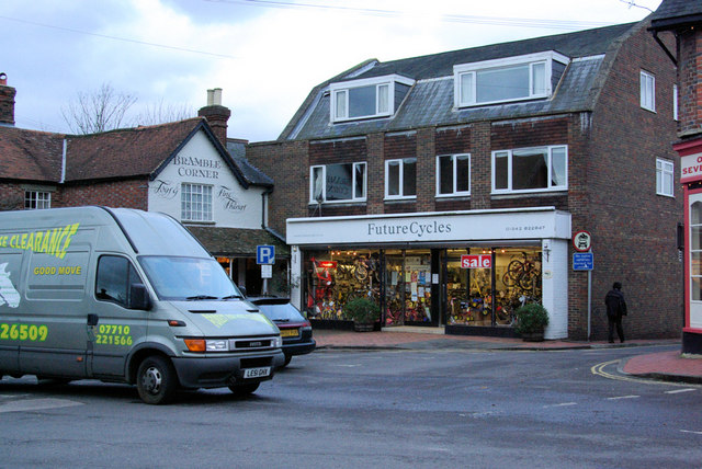
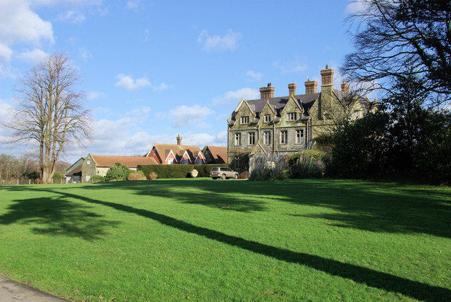
Hazel Wood Images

Images are sourced within 2km of 51.106191/0.046767196 or Grid Reference TQ4336. Thanks to Geograph Open Source API. All images are credited.

Brambletye House ruins Built in 1631 and abandoned towards the end of the 17th century
Brambletye House ruins
Built in 1631 and abandoned towards the end of the 17th century
Forest Row Cemetery Run by the Forest Row Parish Council with peaceful surroundings. Has won a 'Best cemetery in the South' Award !
Forest Row Cemetery
Run by the Forest Row Parish Council with peaceful surroundings. Has won a 'Best cemetery in the South' Award !
Forest Row centre
Forest Row centre
St Dunstan's Church at Ashurst Wood A small place of worship in this pretty village.
St Dunstan's Church at Ashurst Wood
A small place of worship in this pretty village.
River Medway at Forest Row Taken as the river briefly heads south under the Forest Way.
River Medway at Forest Row
Taken as the river briefly heads south under the Forest Way.
River Medway Taken from the roadbridge that leads to Ashdown School.
River Medway
Taken from the roadbridge that leads to Ashdown School.
The Maypole 76 Maypole Road, Ashurst Wood. The village seems to have decided within the last thrity years that it is two words and not Ashurstwood as on older maps
The Maypole
76 Maypole Road, Ashurst Wood. The village seems to have decided within the last thrity years that it is two words and not Ashurstwood as on older maps
Wealden outcrop in Homestall Road which is in East Sussex but continue away from the photographer along that road for a couple of hundred yards and you come to Ashurst Wood, West Sussex. Stoke Brunswick School lies behind the outcrop. The rock is rusty because it contains iron ore.
Wealden outcrop
in Homestall Road which is in East Sussex but continue away from the photographer along that road for a couple of hundred yards and you come to Ashurst Wood, West Sussex. Stoke Brunswick School lies behind the outcrop. The rock is rusty because it contains iron ore.
Stoke Brunswick School A historic building built by Lord and Lady Dewar, combining a hunting lodge with a Hall bought down from Cheshire and landscaped gardens. Now used as a school
Stoke Brunswick School
A historic building built by Lord and Lady Dewar, combining a hunting lodge with a Hall bought down from Cheshire and landscaped gardens. Now used as a school
Future Cycles The lights are coming on in Forest Row as the photographer queues on the A22 - a probable fallen tree ahead - never found out, turned round and went another way.
Future Cycles
The lights are coming on in Forest Row as the photographer queues on the A22 - a probable fallen tree ahead - never found out, turned round and went another way.
Vanguard Way The footpath ascends the hill north of Forest Row. Old ironstone diggings on the left.
Vanguard Way
The footpath ascends the hill north of Forest Row. Old ironstone diggings on the left.
Thornhill An imposing house viewed from the Vanguard Way footpath.
Thornhill
An imposing house viewed from the Vanguard Way footpath.
Sheep grazing Viewed from the Vanguard Way footpath.
Sheep grazing
Viewed from the Vanguard Way footpath.
Dog Gate Lodge At a crossroads of tracks. The Vanguard way comes from the south and turns initially west (out of sight), a private track goes north, and a public bridleway goes east.
Dog Gate Lodge
At a crossroads of tracks. The Vanguard way comes from the south and turns initially west (out of sight), a private track goes north, and a public bridleway goes east.
Owletts Cottage Not a whimsical name - there is a nearby Owlett's Farm.
Owletts Cottage
Not a whimsical name - there is a nearby Owlett's Farm.
Bridleway, Highams Wood There was a badger sett in the mound in the centre.
Bridleway, Highams Wood
There was a badger sett in the mound in the centre.
Cottages, Ashdown Park Farm The communications tower at the top of Highams Wood is visible on the skyline.
Cottages, Ashdown Park Farm
The communications tower at the top of Highams Wood is visible on the skyline.
Satellite Borehole 444009 In the Medway valley.
Satellite Borehole 444009
In the Medway valley.
Show me another place!

Hazel Wood is located at Grid Ref: TQ4336 (Lat: 51.106191, Lng: 0.046767196)

Administrative County: East Sussex

District: Wealden

Police Authority: Sussex

What 3 Words

///crashing.dentistry.rank. Near Forest Row, East Sussex

Related Wikis

Emerson College (UK)

Emerson College, UK was founded in 1962 by Francis Edmunds. It is now situated on Pixton Hill, Forest Row in East Sussex, UK. It was named after Ralph...

Forest Row railway station

Forest Row was a railway station on the Three Bridges to Tunbridge Wells Central Line which closed in 1967, a casualty of the Beeching Axe.The station...

Ashdown House, East Sussex

Ashdown House is a country house and former school near Forest Row, East Sussex, England, a Grade II* listed building. One of the first houses in England...

Forest Row

Forest Row is a village and a large civil parish in the Wealden District of East Sussex, England. The village is located three miles (5 km) south-east...

Ashurst Wood

Ashurst Wood is a village and civil parish in the Mid Sussex District of West Sussex, within the historic county of Sussex, England. It is 1 mile (2 km...

Stoke Brunswick School

Stoke Brunswick School was a small co-educational day and boarding independent school for children aged 3 to 13 years, situated in Ashurst Wood, West Sussex...

Brambletye School

Brambletye School is a coeducational day and boarding preparatory school in East Grinstead, West Sussex. It was founded as a small boys' boarding school...

Michael Hall (school)

Michael Hall is an independent Steiner Waldorf school in Kidbrooke Park on the edge of Ashdown Forest in East Sussex. Founded in 1925, it is the oldest...

Nearby Amenities

Located within 500m of 51.106191,0.046767196
Barrier: stile
Lat/Long: 51.1086474/0.046663
Barrier: kissing_gate
Lat/Long: 51.1081458/0.0471234
Barrier: kissing_gate
Foot: yes
Lat/Long: 51.1070475/0.0489887
Barrier: stile
Foot: yes
Lat/Long: 51.1058619/0.0502933
Height: 25
Man Made: tower
Tower Type: communication
Lat/Long: 51.1077754/0.0534644
Barrier: stile
Foot: yes
Lat/Long: 51.1077964/0.053357
Barrier: stile
Foot: yes
Material: wood
Stile: stepover
Lat/Long: 51.1090811/0.0483845
Barrier: stile
Foot: yes
Lat/Long: 51.1104222/0.0481558
Bench
Backrest: yes
Colour: brown
Material: wood
Seats: 4
Lat/Long: 51.1061256/0.0505364
Barrier: stile
Foot: yes
Lat/Long: 51.1063365/0.0509544
Barrier: stile
Foot: yes
Material: wood
Stile: stepover
Lat/Long: 51.1048394/0.0473314
Power: tower
Lat/Long: 51.1053889/0.0420147
Power: tower
Lat/Long: 51.1066658/0.0522157
Power: tower
Lat/Long: 51.1067201/0.0489544
Power: tower
Lat/Long: 51.1059859/0.0452605
Barrier: stile
Foot: yes
Material: wood
Source: survey
Stile: squeezer
Lat/Long: 51.1029018/0.0443573
Crossing Bell: no
Crossing Light: no
Railway: level_crossing
Lat/Long: 51.104429/0.0521704
Crossing Barrier: no
Crossing Bell: no
Crossing Light: no
Railway: level_crossing
Lat/Long: 51.1046357/0.0520389
The data included in this document is from www.openstreetmap.org. The data is made available under ODbL.

Have you been to Hazel Wood?

Leave your review of Hazel Wood below (or comments, questions and feedback).