Kirkpatrick-Fleming

Settlement in Dumfriesshire

Scotland

Kirkpatrick-Fleming

Hay bales at side of road Hay bales at side of road near Kirkpatrick Fleming.
Hay bales at side of road Credit: Colin Kinnear

Kirkpatrick-Fleming is a small village located in Dumfriesshire, Scotland. Situated near the border with England, it lies approximately 11 miles north of the town of Annan and 14 miles south of Lockerbie. This rural community is nestled amidst the picturesque countryside, offering stunning views of the surrounding hills and valleys.

The village is known for its historic roots, with evidence of settlements dating back to the Roman era. The nearby Roman fort of Birrens showcases remnants of the past and attracts historians and archaeology enthusiasts alike. Additionally, the Antonine Wall, a UNESCO World Heritage Site, runs through the area, further emphasizing its historical significance.

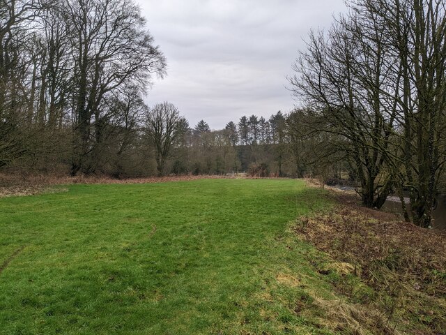
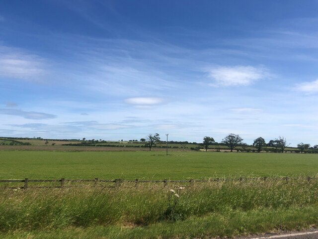
Kirkpatrick-Fleming is home to a close-knit community that takes pride in its natural surroundings. The village offers a peaceful and tranquil environment, making it an ideal location for those seeking a quiet and idyllic lifestyle. The landscape provides ample opportunities for outdoor activities such as hiking, cycling, and fishing, making it a haven for nature lovers.

The village amenities include a primary school, a community hall, and a local pub, serving as a social hub for residents. Although small in size, Kirkpatrick-Fleming benefits from its proximity to larger towns, ensuring access to essential services and amenities.

In summary, Kirkpatrick-Fleming is a charming village in Dumfriesshire with a rich historical heritage, scenic surroundings, and a close-knit community. It offers a peaceful and picturesque setting for residents and visitors alike, making it a hidden gem in the Scottish countryside.

If you have any feedback on the listing, please let us know in the comments section below.

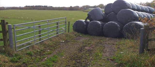
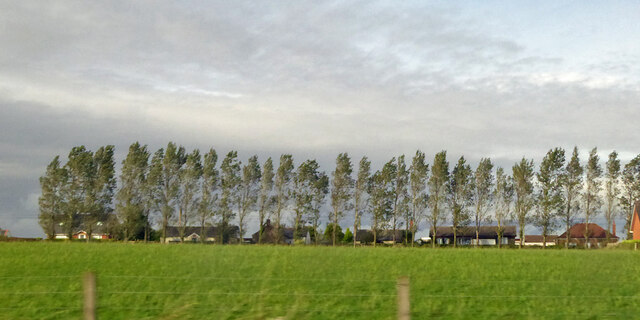
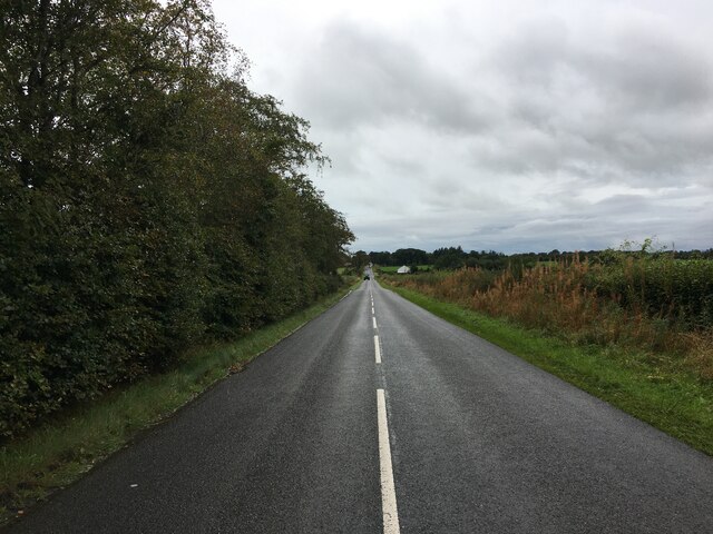
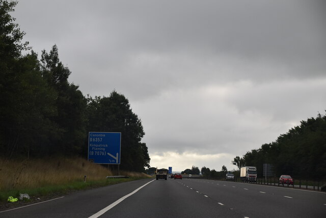
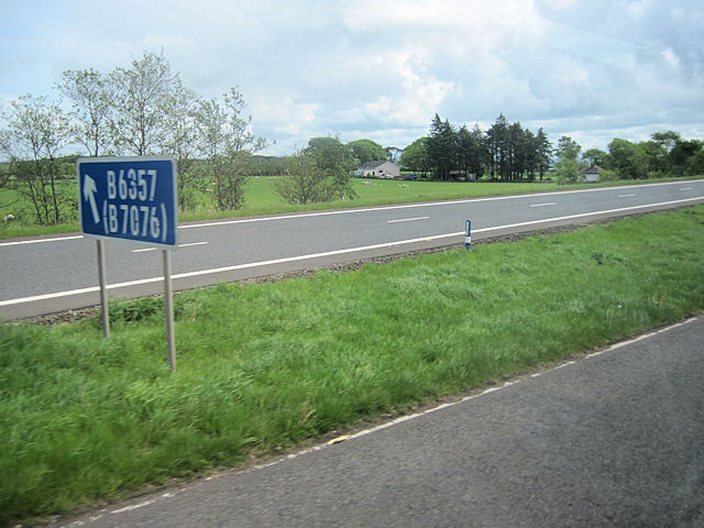
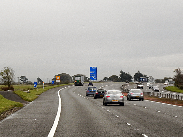
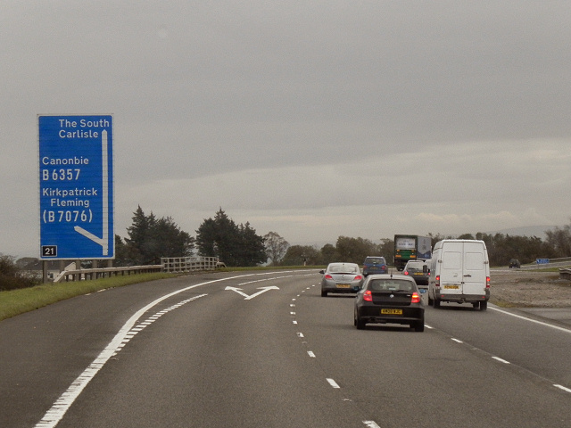
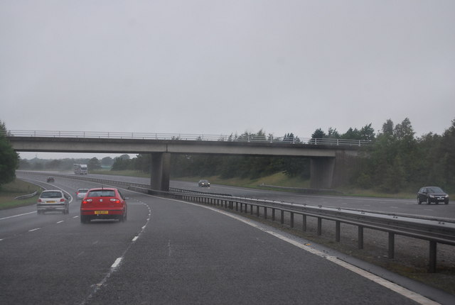
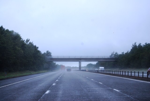
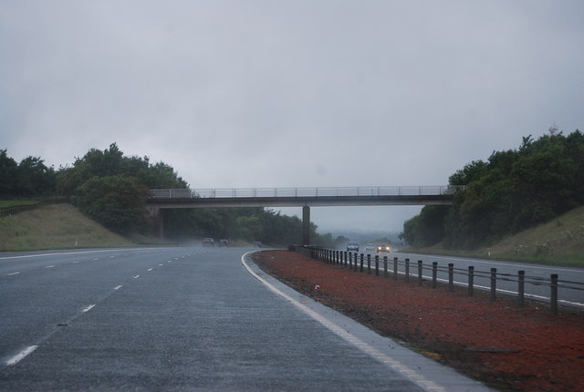
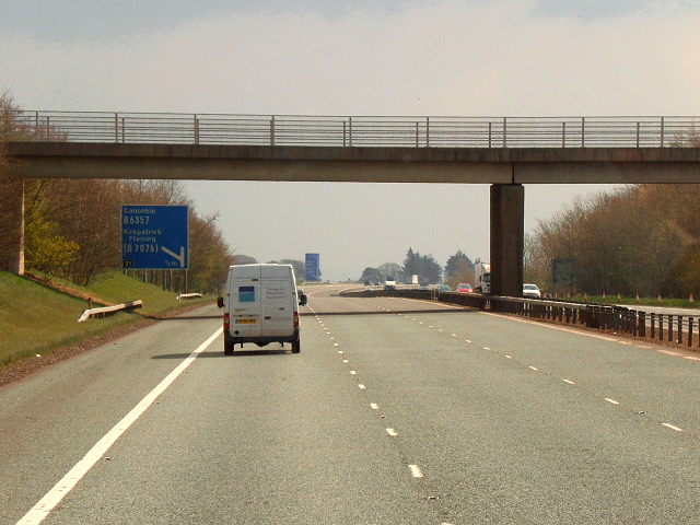
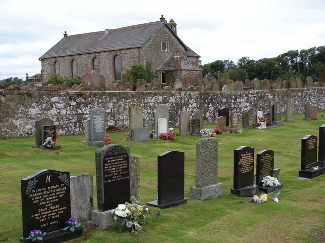
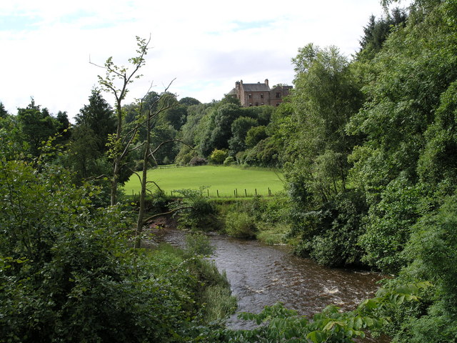
Kirkpatrick-Fleming Images

Images are sourced within 2km of 55.027512/-3.149943 or Grid Reference NY2670. Thanks to Geograph Open Source API. All images are credited.

Hay bales at side of road Hay bales at side of road near Kirkpatrick Fleming.
Hay bales at side of road
Hay bales at side of road near Kirkpatrick Fleming.
Trees along B7076, Newton, Kirkpatrick-Fleming Looking from the West Coast Main Line.
Trees along B7076, Newton, Kirkpatrick-Fleming
Looking from the West Coast Main Line.
Newton Farm Looking from the West Coast Main Line.
Newton Farm
Looking from the West Coast Main Line.
Ordnance Survey Cut Mark This moss covered mark can be found on a roadside wall near to Robgill Lodge.
The recorded details give a height of 69.7245 metres above sea level.
For more details see : <span class="nowrap"><a title="https://www.bench-marks.org.uk/bm164640" rel="nofollow ugc noopener" href="https://www.bench-marks.org.uk/bm164640">Link</a><img style="margin-left:2px;" alt="External link" title="External link - shift click to open in new window" src="https://s1.geograph.org.uk/img/external.png" width="10" height="10"/></span>
Ordnance Survey Cut Mark
This moss covered mark can be found on a roadside wall near to Robgill Lodge. The recorded details give a height of 69.7245 metres above sea level. For more details see : LinkExternal link
B6357 towards Kirkpatrick Fleming
Field by the Kirtle Water Continuing down the steps past Bruce's Cave brings you to this small grassy field. The bridge, just visible in the distance is not accessible from here as it lies beyond a fence and locked gate.
Field by the Kirtle Water
Continuing down the steps past Bruce's Cave brings you to this small grassy field. The bridge, just visible in the distance is not accessible from here as it lies beyond a fence and locked gate.
Farmland east of the A74(M) near Kirkpatrick-Fleming
A74(M), southbound The A74(M) & M74  run over 80 miles from the M6 at the Scottish border near Gretna to the M8 at Glasgow. This is one of the two most important routeways into Scotland from the south. The last stretch of the M74 opened in 2011 (see <a title="https://www.geograph.org.uk/snippet/590" href="https://www.geograph.org.uk/snippet/590">Link</a> ).
Wikipedia: <span class="nowrap"><a title="http://en.wikipedia.org/wiki/A74(M)_and_M74_motorways" rel="nofollow ugc noopener" href="http://en.wikipedia.org/wiki/A74(M)_and_M74_motorways">Link</a><img style="margin-left:2px;" alt="External link" title="External link - shift click to open in new window" src="https://s1.geograph.org.uk/img/external.png" width="10" height="10"/></span>
A74(M), southbound
The A74(M) & M74 run over 80 miles from the M6 at the Scottish border near Gretna to the M8 at Glasgow. This is one of the two most important routeways into Scotland from the south. The last stretch of the M74 opened in 2011 (see Link ). Wikipedia: LinkExternal link
Slip road and sign at junction 21 southbound M74 junction 21
Slip road and sign at junction 21 southbound
M74 junction 21
A74(M) Approaching Junction 21 The A74(M) and M74 form a major motorway which runs for over 80 miles in Scotland. Following an extension opened on 28 June 2011, it connects the M8 motorway west of Glasgow to the English border at Gretna,where it becomes the M6. In conjunction with the M6, it forms one of the two major cross-border routes between Scotland and England. As the motorway is one continuous route and has a continuous junction numbering system, the entire route is often erroneously referred to as M74 although, the section south of Abington (more than half its length) is officially the A74(M).

More information :
<span class="nowrap"><a title="http://www.sabre-roads.org.uk/wiki/index.php?title=M74/A74(M)" rel="nofollow ugc noopener" href="http://www.sabre-roads.org.uk/wiki/index.php?title=M74/A74(M)">Link</a><img style="margin-left:2px;" alt="External link" title="External link - shift click to open in new window" src="https://s1.geograph.org.uk/img/external.png" width="10" height="10"/></span>  SABRE Wiki
<span class="nowrap"><a title="http://en.wikipedia.org/wiki/A74(M)_and_M74_motorways" rel="nofollow ugc noopener" href="http://en.wikipedia.org/wiki/A74(M)_and_M74_motorways">Link</a><img style="margin-left:2px;" alt="External link" title="External link - shift click to open in new window" src="https://s1.geograph.org.uk/img/external.png" width="10" height="10"/></span>  Wikipedia
<span class="nowrap"><a title="http://www.cbrd.co.uk/motorway/m74" rel="nofollow ugc noopener" href="http://www.cbrd.co.uk/motorway/m74">Link</a><img style="margin-left:2px;" alt="External link" title="External link - shift click to open in new window" src="https://s1.geograph.org.uk/img/external.png" width="10" height="10"/></span>  cbrd
A74(M) Approaching Junction 21
The A74(M) and M74 form a major motorway which runs for over 80 miles in Scotland. Following an extension opened on 28 June 2011, it connects the M8 motorway west of Glasgow to the English border at Gretna,where it becomes the M6. In conjunction with the M6, it forms one of the two major cross-border routes between Scotland and England. As the motorway is one continuous route and has a continuous junction numbering system, the entire route is often erroneously referred to as M74 although, the section south of Abington (more than half its length) is officially the A74(M). More information : LinkExternal link SABRE Wiki LinkExternal link Wikipedia LinkExternal link cbrd
A74(M), Junction 21 The A74(M) and M74 form a major motorway which runs for over 80 miles in Scotland. Following an extension opened on 28 June 2011, it connects the M8 motorway west of Glasgow to the English border at Gretna,where it becomes the M6. In conjunction with the M6, it forms one of the two major cross-border routes between Scotland and England. As the motorway is one continuous route and has a continuous junction numbering system, the entire route is often erroneously referred to as M74 although, the section south of Abington (more than half its length) is officially the A74(M).

More information :
<span class="nowrap"><a title="http://www.sabre-roads.org.uk/wiki/index.php?title=M74/A74(M)" rel="nofollow ugc noopener" href="http://www.sabre-roads.org.uk/wiki/index.php?title=M74/A74(M)">Link</a><img style="margin-left:2px;" alt="External link" title="External link - shift click to open in new window" src="https://s1.geograph.org.uk/img/external.png" width="10" height="10"/></span>  SABRE Wiki
<span class="nowrap"><a title="http://en.wikipedia.org/wiki/A74(M)_and_M74_motorways" rel="nofollow ugc noopener" href="http://en.wikipedia.org/wiki/A74(M)_and_M74_motorways">Link</a><img style="margin-left:2px;" alt="External link" title="External link - shift click to open in new window" src="https://s1.geograph.org.uk/img/external.png" width="10" height="10"/></span>  Wikipedia
<span class="nowrap"><a title="http://www.cbrd.co.uk/motorway/m74" rel="nofollow ugc noopener" href="http://www.cbrd.co.uk/motorway/m74">Link</a><img style="margin-left:2px;" alt="External link" title="External link - shift click to open in new window" src="https://s1.geograph.org.uk/img/external.png" width="10" height="10"/></span>  cbrd
A74(M), Junction 21
The A74(M) and M74 form a major motorway which runs for over 80 miles in Scotland. Following an extension opened on 28 June 2011, it connects the M8 motorway west of Glasgow to the English border at Gretna,where it becomes the M6. In conjunction with the M6, it forms one of the two major cross-border routes between Scotland and England. As the motorway is one continuous route and has a continuous junction numbering system, the entire route is often erroneously referred to as M74 although, the section south of Abington (more than half its length) is officially the A74(M). More information : LinkExternal link SABRE Wiki LinkExternal link Wikipedia LinkExternal link cbrd
Approaching overbridge, Junction 21, A74(M) The A74(M) & M74  run over 80 miles from the M6 at the Scottish border near Gretna to the M8 at Glasgow. This is one of the two most important routeways into Scotland from the south. The last stretch of the M74 opened in 2011 (see <a title="https://www.geograph.org.uk/snippet/590" href="https://www.geograph.org.uk/snippet/590">Link</a> ).
Wikipedia: <span class="nowrap"><a title="http://en.wikipedia.org/wiki/A74(M)_and_M74_motorways" rel="nofollow ugc noopener" href="http://en.wikipedia.org/wiki/A74(M)_and_M74_motorways">Link</a><img style="margin-left:2px;" alt="External link" title="External link - shift click to open in new window" src="https://s1.geograph.org.uk/img/external.png" width="10" height="10"/></span>
Approaching overbridge, Junction 21, A74(M)
The A74(M) & M74 run over 80 miles from the M6 at the Scottish border near Gretna to the M8 at Glasgow. This is one of the two most important routeways into Scotland from the south. The last stretch of the M74 opened in 2011 (see Link ). Wikipedia: LinkExternal link
Overbridge, A74(M) The A74(M) & M74  run over 80 miles from the M6 at the Scottish border near Gretna to the M8 at Glasgow. This is one of the two most important routeways into Scotland from the south. The last stretch of the M74 opened in 2011 (see <a title="https://www.geograph.org.uk/snippet/590" href="https://www.geograph.org.uk/snippet/590">Link</a> ).
Wikipedia: <span class="nowrap"><a title="http://en.wikipedia.org/wiki/A74(M)_and_M74_motorways" rel="nofollow ugc noopener" href="http://en.wikipedia.org/wiki/A74(M)_and_M74_motorways">Link</a><img style="margin-left:2px;" alt="External link" title="External link - shift click to open in new window" src="https://s1.geograph.org.uk/img/external.png" width="10" height="10"/></span>
Overbridge, A74(M)
The A74(M) & M74 run over 80 miles from the M6 at the Scottish border near Gretna to the M8 at Glasgow. This is one of the two most important routeways into Scotland from the south. The last stretch of the M74 opened in 2011 (see Link ). Wikipedia: LinkExternal link
Bridge to Woodhouse Mains, A74(M) The A74(M) & M74  run over 80 miles from the M6 at the Scottish border near Gretna to the M8 at Glasgow. This is one of the two most important routeways into Scotland from the south. The last stretch of the M74 opened in 2011 (see <a title="https://www.geograph.org.uk/snippet/590" href="https://www.geograph.org.uk/snippet/590">Link</a> ).
Wikipedia: <span class="nowrap"><a title="http://en.wikipedia.org/wiki/A74(M)_and_M74_motorways" rel="nofollow ugc noopener" href="http://en.wikipedia.org/wiki/A74(M)_and_M74_motorways">Link</a><img style="margin-left:2px;" alt="External link" title="External link - shift click to open in new window" src="https://s1.geograph.org.uk/img/external.png" width="10" height="10"/></span>
Bridge to Woodhouse Mains, A74(M)
The A74(M) & M74 run over 80 miles from the M6 at the Scottish border near Gretna to the M8 at Glasgow. This is one of the two most important routeways into Scotland from the south. The last stretch of the M74 opened in 2011 (see Link ). Wikipedia: LinkExternal link
A74(M) Newton A farm access bridge over the A74(M). Approaching junction 21, from the north.
A74(M) Newton
A farm access bridge over the A74(M). Approaching junction 21, from the north.
Show me another place!

Kirkpatrick-Fleming is located at Grid Ref: NY2670 (Lat: 55.027512, Lng: -3.149943)

Unitary Authority: Dumfries and Galloway

Police Authority: Dumfries and Galloway

What 3 Words

///blockage.dentistry.boost. Near Eastriggs, Dumfries & Galloway

Related Wikis

Bruce's Cave

Bruce's Cave or the Dunskellie Grotto is a relatively small and mainly artificial cave created in the red sandstone cliffs about 9 metres above the Kirtle...

Kirkpatrick railway station

Kirkpatrick railway station was a station which served the rural area around Kirkpatrick Fleming, north of Gretna in the Scottish county of Dumfries and...

Kirkpatrick-Fleming

Kirkpatrick-Fleming (Scottish Gaelic: Cill Phàdraig) is a village and civil parish in Dumfries and Galloway, south-west Scotland. It is located between...

Robgill Tower

Robgill Tower is a tower house near Kirkpatrick Fleming on the banks of the river Kirtle. It was one of a number of towers built along the border as protection...

Nearby Amenities

Located within 500m of 55.027512,-3.149943
Bus Stop
Village
Naptan AtcoCode: 680000225111
Naptan Bearing: NW
Naptan CommonName: Village
Naptan Indicator: opp Shelter
Naptan Landmark: Newton
Naptan NaptanCode: 34238642
Naptan Notes: none
Naptan Street: B7076
Naptan Verified: no
Source: naptan_import
Lat/Long: 55.0260034/-3.1437169
Village
Naptan AtcoCode: 680000225222
Naptan Bearing: SE
Naptan BusStopType: CUS
Naptan CommonName: Village
Naptan Indicator: Shelter
Naptan Landmark: Newton
Naptan NaptanCode: 34237524
Naptan Notes: none
Naptan Street: B7076
Naptan Verified: no
Source: naptan_import
Lat/Long: 55.0265581/-3.1449373
Noexit: yes
Lat/Long: 55.0277809/-3.1475304
Noexit: yes
Lat/Long: 55.0278408/-3.1464682
Noexit: yes
Lat/Long: 55.0279116/-3.147002
Post Box
Ref: DG11 24
Source: survey
Lat/Long: 55.0265905/-3.1452528
Railway: level_crossing
Source: survey
Lat/Long: 55.0250141/-3.1482918
Bruce's Cave
Tents: yes
Tourism: caravan_site
Website: https://www.brucescave.co.uk/
Lat/Long: 55.0236072/-3.1493991
Railway: level_crossing
Source: survey
Lat/Long: 55.0249778/-3.1483245
Give Way
Lat/Long: 55.0268686/-3.1464419
Power: pole
Lat/Long: 55.0242714/-3.1540135
Material: wood
Power: pole
Lat/Long: 55.0286654/-3.1525115
Power: pole
Lat/Long: 55.0274278/-3.1516022
Power: pole
Lat/Long: 55.0268321/-3.1511851
Power: pole
Lat/Long: 55.0263463/-3.1517377
Power: pole
Lat/Long: 55.025636/-3.1524887
Power: pole
Lat/Long: 55.0248857/-3.1533255
Power: pole
Lat/Long: 55.0300088/-3.150204
Power: pole
Lat/Long: 55.0301284/-3.1517547
Material: wood
Power: pole
Lat/Long: 55.0293065/-3.1521387
Material: wood
Power: pole
Lat/Long: 55.0293034/-3.1508861
Power: pole
Lat/Long: 55.0293075/-3.1498949
Power: pole
Lat/Long: 55.0310498/-3.1455217
Power: pole
Lat/Long: 55.0306578/-3.1465677
Power: pole
Lat/Long: 55.0302581/-3.147646
Power: pole
Lat/Long: 55.0298738/-3.1486411
Power: pole
Lat/Long: 55.0292296/-3.1440411
Power: pole
Lat/Long: 55.0294341/-3.1455807
Power: pole
Lat/Long: 55.0296462/-3.1471176
Power: pole
Lat/Long: 55.029313/-3.1484325
Power: pole
Lat/Long: 55.0296697/-3.1474026
Power: pole
Lat/Long: 55.0299403/-3.1465872
Power: pole
Lat/Long: 55.0303123/-3.1454714
Power: pole
Lat/Long: 55.0285817/-3.1571102
Power: pole
Lat/Long: 55.0284095/-3.15615
Power: pole
Lat/Long: 55.0281086/-3.1537769
Power: pole
Lat/Long: 55.0278893/-3.1523395
Power: pole
Lat/Long: 55.0282543/-3.1549296
Power: pole
Lat/Long: 55.0248292/-3.1482695
Power: pole
Lat/Long: 55.0245368/-3.1468553
Power: pole
Lat/Long: 55.0242711/-3.1455029
Power: pole
Lat/Long: 55.025817/-3.1434086
Power: pole
Lat/Long: 55.0307721/-3.1536854
Power: pole
Lat/Long: 55.0302509/-3.1531445
Power: pole
Lat/Long: 55.0297371/-3.1526293
Power: pole
Lat/Long: 55.0294241/-3.152315
Power: pole
Lat/Long: 55.0280058/-3.1520269
Power: pole
Lat/Long: 55.0279617/-3.1526808
The data included in this document is from www.openstreetmap.org. The data is made available under ODbL.

Have you been to Kirkpatrick-Fleming?

Leave your review of Kirkpatrick-Fleming below (or comments, questions and feedback).