Kirkpatrick Durham

Settlement in Kirkcudbrightshire

Scotland

Kirkpatrick Durham

Lairdlaugh Bridge Bench Mark The stone bridge over Brooklands Burn showing the Eastern side with Bench Mark
Lairdlaugh Bridge Bench Mark Credit: Stuart Cowan

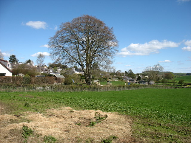
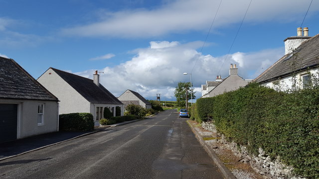
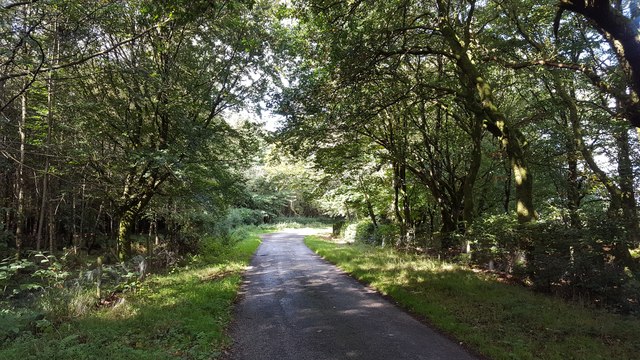
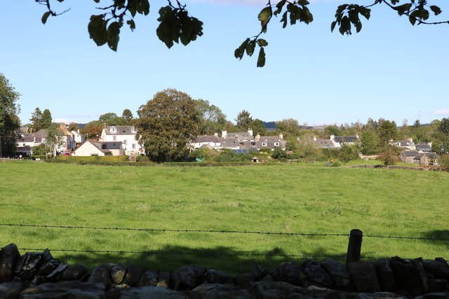
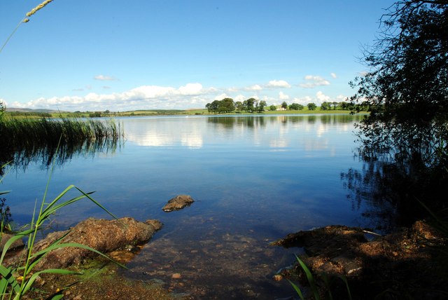
Kirkpatrick Durham is a small village located in the historical county of Kirkcudbrightshire, Scotland. It is situated approximately 6 miles northwest of Castle Douglas and lies within the Dumfries and Galloway region. This picturesque village sits on the banks of the Water of Ken, providing beautiful views of the surrounding countryside.

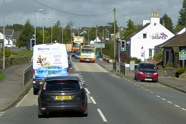
The village is known for its quaint charm and friendly community. It consists of a mix of traditional stone-built houses, some dating back to the 18th century, giving it a timeless feel. The village center features a few amenities, including a local pub and a village hall that hosts various community events throughout the year.

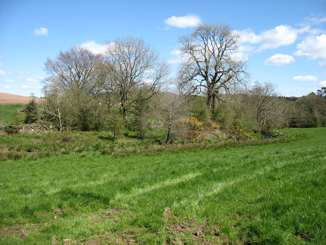
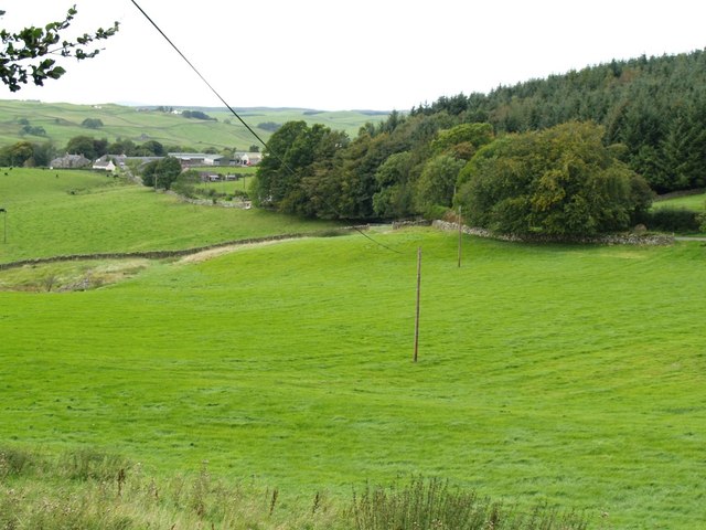
The surrounding area offers a wealth of outdoor activities for nature enthusiasts. The Water of Ken is popular for fishing, and there are several walking trails and cycling routes that take you through the stunning Scottish countryside. The nearby Galloway Forest Park, designated as a Dark Sky Park, is a haven for stargazers.

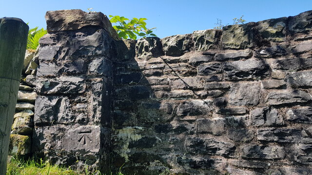
Kirkpatrick Durham is also rich in history. The village's name is derived from the Kirkpatrick family, who were prominent landowners in the area during medieval times. The 13th-century Kirkpatrick Durham Parish Church, with its distinctive bell tower, stands as a testament to the village's historical significance.

Overall, Kirkpatrick Durham is a peaceful and idyllic village that offers a tranquil escape for those looking to immerse themselves in the natural beauty and rich heritage of rural Scotland.

If you have any feedback on the listing, please let us know in the comments section below.

Kirkpatrick Durham Images

Images are sourced within 2km of 55.011617/-3.898017 or Grid Reference NX7870. Thanks to Geograph Open Source API. All images are credited.

Lairdlaugh Bridge Bench Mark The stone bridge over Brooklands Burn showing the Eastern side with Bench Mark
Lairdlaugh Bridge Bench Mark
The stone bridge over Brooklands Burn showing the Eastern side with Bench Mark
Housing in Springholm
Kirkpatrick Durham village
Culshan Burn, Springholm The burn can be seen on the right.
Culshan Burn, Springholm
The burn can be seen on the right.
Houses in Kirkpatrick Durham Houses line the road leading West from the village.
Houses in Kirkpatrick Durham
Houses line the road leading West from the village.
At Kilquhanity Farm Looking west near to Kilquhanity Farm.
At Kilquhanity Farm
Looking west near to Kilquhanity Farm.
Grazing near Corsehill Grazing under a blue sky at Corsehill.
Grazing near Corsehill
Grazing under a blue sky at Corsehill.
At Lochpatrick Mill Bridge The minor road to Wellhill heads north from this junction
At Lochpatrick Mill Bridge
The minor road to Wellhill heads north from this junction
Road through the trees A minor road north of Kirkpatrick Durham.
Road through the trees
A minor road north of Kirkpatrick Durham.
Holehouse near Springholm
The Grapes at Springholm The A75 is a Primary Trunk Road; the main through route for traffic between northern England and Northern Ireland (more specifically the ferry terminal from Cairnryan to Belfast and Larne). It runs for 95½ miles between Stranraer and the A74(M) at Gretna, close to the Border with England and the M6 Motorway. Although it is an important trunk route (it is also a Euroroute, the E18), and has been subject to a number of upgrades over the years, the majority of the road is still single-carriageway although there are a few short dual carriageway sections and some three-lane sections which allow overtaking in one direction.
The Grapes at Springholm
The A75 is a Primary Trunk Road; the main through route for traffic between northern England and Northern Ireland (more specifically the ferry terminal from Cairnryan to Belfast and Larne). It runs for 95½ miles between Stranraer and the A74(M) at Gretna, close to the Border with England and the M6 Motorway. Although it is an important trunk route (it is also a Euroroute, the E18), and has been subject to a number of upgrades over the years, the majority of the road is still single-carriageway although there are a few short dual carriageway sections and some three-lane sections which allow overtaking in one direction.
Kirkpatrick Durham Village From the church grounds.
Kirkpatrick Durham Village
From the church grounds.
Farmland near Kilquhanity Kilquhanity Farm can be seen in the middle distance.
Farmland near Kilquhanity
Kilquhanity Farm can be seen in the middle distance.
Upper Minnydow
Upper Minnydow
Last rusting place
Last rusting place
Road to Culfad
Road to Culfad
Loch Patrick
Loch Patrick
Durhamhill Turbine
Durhamhill Turbine
Show me another place!

Kirkpatrick Durham is located at Grid Ref: NX7870 (Lat: 55.011617, Lng: -3.898017)

Unitary Authority: Dumfries and Galloway

Police Authority: Dumfries and Galloway

What 3 Words

///ramble.terminology.hiked. Near Castle Douglas, Dumfries & Galloway

Related Wikis

Kirkpatrick Durham

Kirkpatrick Durham (Scottish Gaelic: Cill Phàdraig) is a village and parish in the historical county of Kirkcudbrightshire, Dumfries and Galloway, south...

Kilquhanity School

Kilquhanity School was one of several free schools to have been established in the United Kingdom in the twentieth century. Others include Sands School...

Springholm

Springholm is a village in the historical county of Kirkcudbrightshire in Dumfries and Galloway, Scotland. It is located 14 miles (23 km) west of Dumfries...

Glenlair House

Glenlair, near the village of Corsock in the historical county of Kirkcudbrightshire, in Dumfries and Galloway, was the home of the physicist James Clerk...

Haugh of Urr

Haugh of Urr (), is a village in the historical county of Kirkcudbrightshire in Dumfries and Galloway, Scotland. It is approximately 4 miles (6 kilometres...

Crocketford

Crocketford (/ˈkrɒkɪtfɔːd/, also frequently /ˈkrɒkɪtfəd/) also known as Ninemile Bar (Scottish Gaelic: Ath Crogaid), as it is approximately equidistant...

Milton Loch

Milton Loch is an alkaline freshwater loch located in Dumfries and Galloway, Scotland. In the loch and nearby are archaeological sites including three...

A75 road

The A75 is a primary trunk road in Scotland, linking Stranraer and its ferry ports at Cairnryan with the A74(M) at Gretna, close to the border with England...

Nearby Amenities

Located within 500m of 55.011617,-3.898017
Kirkpatrick Durham
Is In: UK ,Scotland,Kirkcudbrightshire
Loc Name: KPD
Place: village
Wikidata: Q6415808
Wikipedia: en:Kirkpatrick Durham
Lat/Long: 55.0111555/-3.8975131
Bus Stop
Village
Naptan AtcoCode: 680000058333
Naptan Bearing: W
Naptan CommonName: Village
Naptan Indicator: 5 Victoria St
Naptan Landmark: C12
Naptan NaptanCode: 34238494
Naptan Notes: none
Naptan Street: Victoria Street
Naptan Verified: no
Source: naptan_import
Lat/Long: 55.0115232/-3.8974989
Bus Stop
Village
Naptan AtcoCode: 680000058444
Naptan Bearing: E
Naptan CommonName: Village
Naptan Indicator: 4 Victoria St
Naptan Landmark: C12
Naptan NaptanCode: 34238495
Naptan Notes: none
Naptan Street: Victoria Street
Naptan Verified: no
Source: naptan_import
Lat/Long: 55.0116135/-3.8974719
Historic: memorial
Memorial: war_memorial
Lat/Long: 55.0128602/-3.8970483
Entrance: yes
Lat/Long: 55.0115955/-3.8937273
Entrance: yes
Lat/Long: 55.0115959/-3.8939191
Entrance: yes
Lat/Long: 55.0115962/-3.8940693
Public Bookcase
Booth: K6
Disused Amenity: telephone
Man Made: telephone_box
Old Phone: +44 1556 650220
Public Bookcase Type: phone_box
Lat/Long: 55.011729/-3.8979758
Post Box
Post Box Type: lamp
Royal Cypher: scottish_crown
Lat/Long: 55.0117133/-3.8979825
Give Way
Direction: backward
Lat/Long: 55.0115867/-3.8980529
Give Way
Direction: backward
Lat/Long: 55.0115847/-3.897876
Power: pole
Lat/Long: 55.0083055/-3.901512
Power: pole
Lat/Long: 55.009179/-3.9013378
Power: pole
Lat/Long: 55.0099124/-3.9012146
Power: pole
Lat/Long: 55.0105714/-3.9010893
Power: pole
Lat/Long: 55.0112695/-3.9009831
Power: pole
Lat/Long: 55.0115752/-3.9005029
Power: pole
Lat/Long: 55.0122525/-3.8995044
Power: pole
Lat/Long: 55.0131174/-3.8983147
Power: pole
Lat/Long: 55.0136364/-3.8976052
Power: pole
Lat/Long: 55.0141662/-3.8968829
Power: pole
Lat/Long: 55.014757/-3.8960416
Power: pole
Lat/Long: 55.0152589/-3.8953639
Power: pole
Lat/Long: 55.0127288/-3.9001142
Power: pole
Lat/Long: 55.0134305/-3.9010086
Power: pole
Lat/Long: 55.014126/-3.9019051
Power: pole
Lat/Long: 55.01474/-3.9026911
Defibrillator
Defibrillator Location: Kirkpatrick Durham Village Hall, external wall, right hand side of entrance, facing road. Victoria Street.
Emergency: defibrillator
Indoor: no
Lat/Long: 55.0116062/-3.8932306
Power: pole
Lat/Long: 55.014372/-3.8918619
The data included in this document is from www.openstreetmap.org. The data is made available under ODbL.

Have you been to Kirkpatrick Durham?

Leave your review of Kirkpatrick Durham below (or comments, questions and feedback).