Kirksanton
Settlement in Cumberland Copeland
England
Kirksanton
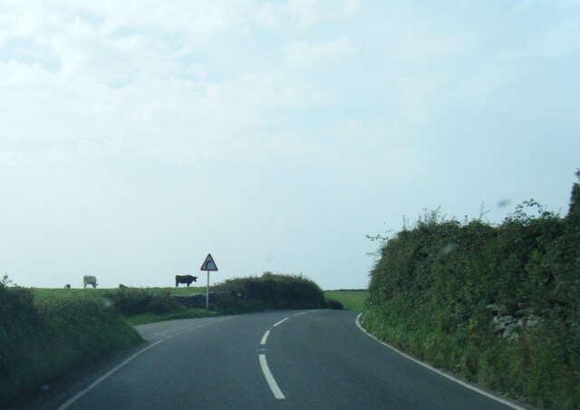
Kirksanton is a small village located in the county of Cumberland, in the northwest of England. Situated near the coast of the Irish Sea, it is part of the borough of Copeland. The village is nestled in the picturesque landscape of the Lake District National Park, surrounded by rolling hills and offering breathtaking views.
With a population of around 200 people, Kirksanton maintains a close-knit community atmosphere. The village is characterized by its quaint cottages made of local stone, giving it a charming and traditional feel. The local economy primarily revolves around agriculture, with farming playing a significant role in the community's livelihood.
Kirksanton is home to St. Paul's Church, a beautiful place of worship that dates back to the 12th century. The church's historic architecture and serene ambiance attract visitors from near and far. Additionally, the village boasts a primary school, providing education to the local children.
Nature enthusiasts are drawn to Kirksanton for its proximity to the stunning Lake District National Park. The area offers numerous opportunities for outdoor activities, including hiking, cycling, and birdwatching. The nearby coastline also appeals to those seeking coastal walks and water sports.
In summary, Kirksanton is a charming village in the heart of the Lake District National Park. With its rich history, beautiful surroundings, and tight-knit community, it offers a peaceful and idyllic place to live or visit.
If you have any feedback on the listing, please let us know in the comments section below.
Kirksanton Images
Images are sourced within 2km of 54.216112/-3.323264 or Grid Reference SD1380. Thanks to Geograph Open Source API. All images are credited.


Kirksanton is located at Grid Ref: SD1380 (Lat: 54.216112, Lng: -3.323264)
Administrative County: Cumbria
District: Copeland
Police Authority: Cumbria
What 3 Words
///darkest.bells.evolution. Near Haverigg, Cumbria
Nearby Locations
Related Wikis

Kirksanton
Kirksanton is a village on the A5093 road, in the Copeland district, in the county of Cumbria, England. Nearby settlements include the town of Millom,...

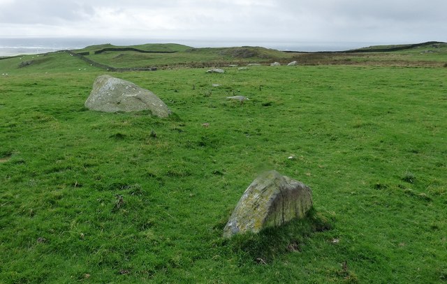
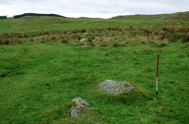
Giant's Grave, Cumbria
Giant's Grave (grid reference SD135810) are two standing stones at the foot of Black Combe in Cumbria, England. The smaller stone has three cup and ring...

Silecroft
The village of Silecroft in Cumbria, England, is in the parish of Whicham. It is situated between the towns of Millom and Bootle, and also neighbours the...

Silecroft railway station
Silecroft is a railway station on the Cumbrian Coast Line, which runs between Carlisle and Barrow-in-Furness. The station, situated 19 miles (31 km) north...

RAF Millom
Royal Air Force Millom or more simply RAF Millom is a former Royal Air Force station located in Cumbria, England == History == Opened in January 1941 as...

HM Prison Haverigg
HM Prison Haverigg is a Category D men's prison, located in the village of Haverigg (near Millom) in Cumbria, and historically in Cumberland, England....

St Mary's Church, Whicham
St Mary's Church is on the A595 road in Whicham, Cumbria, England. It is an active Anglican parish church in the deanery of Calder, the archdeaconry of...

Holborn Hill
Holborn Hill is a street and a ward in the town of Millom, in Cumbria, England. Historically it was a village in the administrative county of Cumberland...
Nearby Amenities
Located within 500m of 54.216112,-3.323264Have you been to Kirksanton?
Leave your review of Kirksanton below (or comments, questions and feedback).