Newton

Settlement in Dumfriesshire

Scotland

Newton

Bridge over A74(M)
Bridge over A74(M) Credit: Alpin Stewart

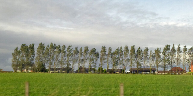
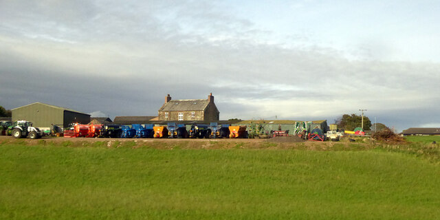
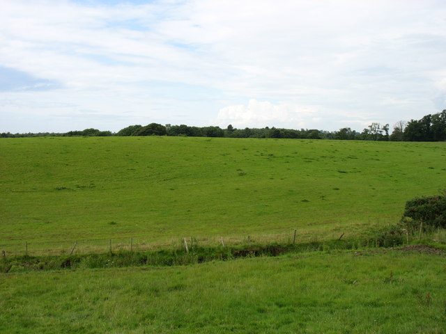
Newton is a small village located in the council area of Dumfries and Galloway, Scotland. Situated in the southern part of the country, it lies approximately 10 miles northeast of Dumfries town. The village is nestled in a rural setting, surrounded by picturesque countryside and rolling hills.

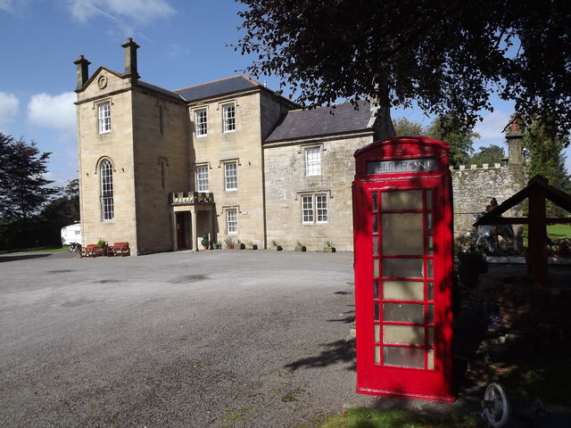
With a population of around 500 residents, Newton is a close-knit community that offers a peaceful and tranquil atmosphere. It embodies the essence of a traditional Scottish village, with its quaint stone cottages, well-maintained gardens, and a charming main street. The village is known for its strong sense of community spirit and friendly locals.

Despite its small size, Newton boasts a number of amenities for its residents. These include a local primary school, a village hall that hosts various community events, and a small convenience store for daily essentials. Additionally, there are several local businesses such as a post office and a pub, providing further services and social opportunities for villagers.

Nature lovers and outdoor enthusiasts are drawn to Newton due to its proximity to the beautiful countryside. The village serves as a gateway to stunning landscapes, with ample opportunities for walking, hiking, and exploring the nearby forests and nature reserves. The River Nith also flows close by, offering fishing and boating activities.

Overall, Newton, Dumfriesshire is a charming village that provides a peaceful and idyllic lifestyle for its residents. Its beautiful surroundings, strong community spirit, and access to nature make it an appealing place to live or visit.

If you have any feedback on the listing, please let us know in the comments section below.
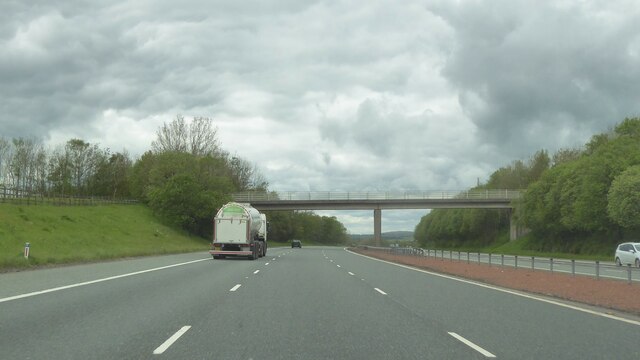
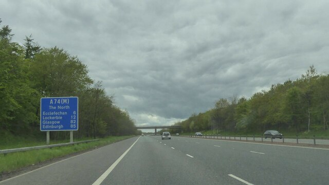
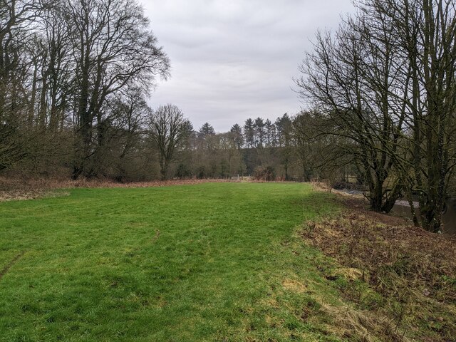
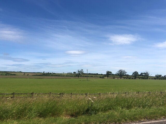
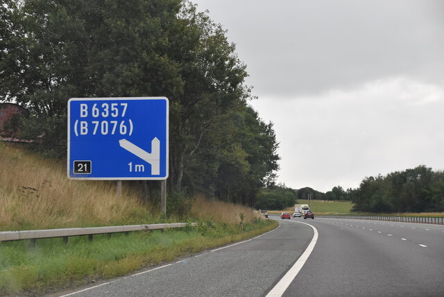
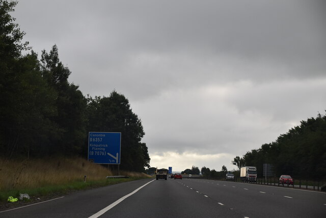
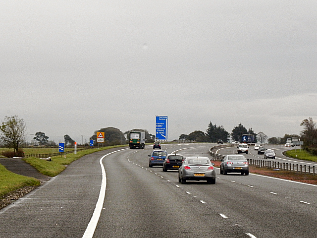
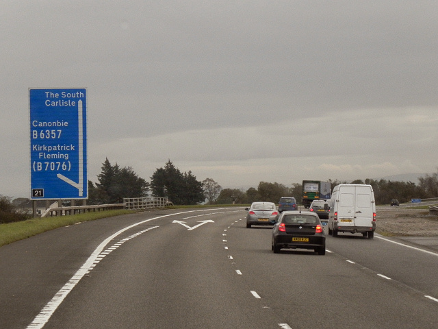
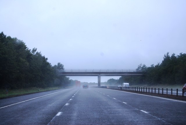
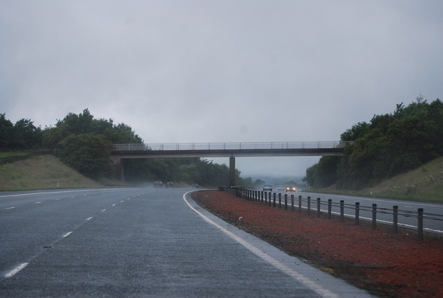
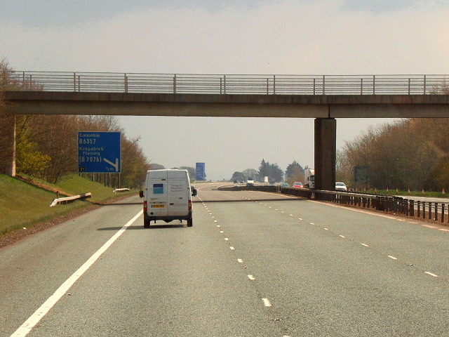
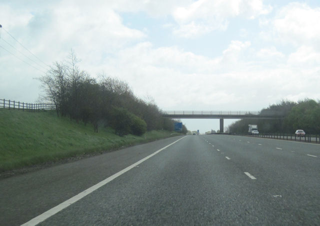
Newton Images

Images are sourced within 2km of 55.019016/-3.1588927 or Grid Reference NY2670. Thanks to Geograph Open Source API. All images are credited.

Bridge over A74(M)
Bridge over A74(M)
A74(M) northbound
A74(M) northbound
Trees along B7076, Newton, Kirkpatrick-Fleming Looking from the West Coast Main Line.
Trees along B7076, Newton, Kirkpatrick-Fleming
Looking from the West Coast Main Line.
Newton Farm Looking from the West Coast Main Line.
Newton Farm
Looking from the West Coast Main Line.
Ordnance Survey Cut Mark This moss covered mark can be found on a roadside wall near to Robgill Lodge.
The recorded details give a height of 69.7245 metres above sea level.
For more details see : <span class="nowrap"><a title="https://www.bench-marks.org.uk/bm164640" rel="nofollow ugc noopener" href="https://www.bench-marks.org.uk/bm164640">Link</a><img style="margin-left:2px;" alt="External link" title="External link - shift click to open in new window" src="https://s1.geograph.org.uk/img/external.png" width="10" height="10"/></span>
Ordnance Survey Cut Mark
This moss covered mark can be found on a roadside wall near to Robgill Lodge. The recorded details give a height of 69.7245 metres above sea level. For more details see : LinkExternal link
Field by the Kirtle Water Continuing down the steps past Bruce's Cave brings you to this small grassy field. The bridge, just visible in the distance is not accessible from here as it lies beyond a fence and locked gate.
Field by the Kirtle Water
Continuing down the steps past Bruce's Cave brings you to this small grassy field. The bridge, just visible in the distance is not accessible from here as it lies beyond a fence and locked gate.
Farmland east of the A74(M) near Kirkpatrick-Fleming
A74(M), southbound The A74(M) & M74  run over 80 miles from the M6 at the Scottish border near Gretna to the M8 at Glasgow. This is one of the two most important routeways into Scotland from the south. The last stretch of the M74 opened in 2011 (see <a title="https://www.geograph.org.uk/snippet/590" href="https://www.geograph.org.uk/snippet/590">Link</a> ).
Wikipedia: <span class="nowrap"><a title="http://en.wikipedia.org/wiki/A74(M)_and_M74_motorways" rel="nofollow ugc noopener" href="http://en.wikipedia.org/wiki/A74(M)_and_M74_motorways">Link</a><img style="margin-left:2px;" alt="External link" title="External link - shift click to open in new window" src="https://s1.geograph.org.uk/img/external.png" width="10" height="10"/></span>
A74(M), southbound
The A74(M) & M74 run over 80 miles from the M6 at the Scottish border near Gretna to the M8 at Glasgow. This is one of the two most important routeways into Scotland from the south. The last stretch of the M74 opened in 2011 (see Link ). Wikipedia: LinkExternal link
A74(M) Approaching Junction 21 The A74(M) and M74 form a major motorway which runs for over 80 miles in Scotland. Following an extension opened on 28 June 2011, it connects the M8 motorway west of Glasgow to the English border at Gretna,where it becomes the M6. In conjunction with the M6, it forms one of the two major cross-border routes between Scotland and England. As the motorway is one continuous route and has a continuous junction numbering system, the entire route is often erroneously referred to as M74 although, the section south of Abington (more than half its length) is officially the A74(M).

More information :
<span class="nowrap"><a title="http://www.sabre-roads.org.uk/wiki/index.php?title=M74/A74(M)" rel="nofollow ugc noopener" href="http://www.sabre-roads.org.uk/wiki/index.php?title=M74/A74(M)">Link</a><img style="margin-left:2px;" alt="External link" title="External link - shift click to open in new window" src="https://s1.geograph.org.uk/img/external.png" width="10" height="10"/></span>  SABRE Wiki
<span class="nowrap"><a title="http://en.wikipedia.org/wiki/A74(M)_and_M74_motorways" rel="nofollow ugc noopener" href="http://en.wikipedia.org/wiki/A74(M)_and_M74_motorways">Link</a><img style="margin-left:2px;" alt="External link" title="External link - shift click to open in new window" src="https://s1.geograph.org.uk/img/external.png" width="10" height="10"/></span>  Wikipedia
<span class="nowrap"><a title="http://www.cbrd.co.uk/motorway/m74" rel="nofollow ugc noopener" href="http://www.cbrd.co.uk/motorway/m74">Link</a><img style="margin-left:2px;" alt="External link" title="External link - shift click to open in new window" src="https://s1.geograph.org.uk/img/external.png" width="10" height="10"/></span>  cbrd
A74(M) Approaching Junction 21
The A74(M) and M74 form a major motorway which runs for over 80 miles in Scotland. Following an extension opened on 28 June 2011, it connects the M8 motorway west of Glasgow to the English border at Gretna,where it becomes the M6. In conjunction with the M6, it forms one of the two major cross-border routes between Scotland and England. As the motorway is one continuous route and has a continuous junction numbering system, the entire route is often erroneously referred to as M74 although, the section south of Abington (more than half its length) is officially the A74(M). More information : LinkExternal link SABRE Wiki LinkExternal link Wikipedia LinkExternal link cbrd
A74(M), Junction 21 The A74(M) and M74 form a major motorway which runs for over 80 miles in Scotland. Following an extension opened on 28 June 2011, it connects the M8 motorway west of Glasgow to the English border at Gretna,where it becomes the M6. In conjunction with the M6, it forms one of the two major cross-border routes between Scotland and England. As the motorway is one continuous route and has a continuous junction numbering system, the entire route is often erroneously referred to as M74 although, the section south of Abington (more than half its length) is officially the A74(M).

More information :
<span class="nowrap"><a title="http://www.sabre-roads.org.uk/wiki/index.php?title=M74/A74(M)" rel="nofollow ugc noopener" href="http://www.sabre-roads.org.uk/wiki/index.php?title=M74/A74(M)">Link</a><img style="margin-left:2px;" alt="External link" title="External link - shift click to open in new window" src="https://s1.geograph.org.uk/img/external.png" width="10" height="10"/></span>  SABRE Wiki
<span class="nowrap"><a title="http://en.wikipedia.org/wiki/A74(M)_and_M74_motorways" rel="nofollow ugc noopener" href="http://en.wikipedia.org/wiki/A74(M)_and_M74_motorways">Link</a><img style="margin-left:2px;" alt="External link" title="External link - shift click to open in new window" src="https://s1.geograph.org.uk/img/external.png" width="10" height="10"/></span>  Wikipedia
<span class="nowrap"><a title="http://www.cbrd.co.uk/motorway/m74" rel="nofollow ugc noopener" href="http://www.cbrd.co.uk/motorway/m74">Link</a><img style="margin-left:2px;" alt="External link" title="External link - shift click to open in new window" src="https://s1.geograph.org.uk/img/external.png" width="10" height="10"/></span>  cbrd
A74(M), Junction 21
The A74(M) and M74 form a major motorway which runs for over 80 miles in Scotland. Following an extension opened on 28 June 2011, it connects the M8 motorway west of Glasgow to the English border at Gretna,where it becomes the M6. In conjunction with the M6, it forms one of the two major cross-border routes between Scotland and England. As the motorway is one continuous route and has a continuous junction numbering system, the entire route is often erroneously referred to as M74 although, the section south of Abington (more than half its length) is officially the A74(M). More information : LinkExternal link SABRE Wiki LinkExternal link Wikipedia LinkExternal link cbrd
Overbridge, A74(M) The A74(M) & M74  run over 80 miles from the M6 at the Scottish border near Gretna to the M8 at Glasgow. This is one of the two most important routeways into Scotland from the south. The last stretch of the M74 opened in 2011 (see <a title="https://www.geograph.org.uk/snippet/590" href="https://www.geograph.org.uk/snippet/590">Link</a> ).
Wikipedia: <span class="nowrap"><a title="http://en.wikipedia.org/wiki/A74(M)_and_M74_motorways" rel="nofollow ugc noopener" href="http://en.wikipedia.org/wiki/A74(M)_and_M74_motorways">Link</a><img style="margin-left:2px;" alt="External link" title="External link - shift click to open in new window" src="https://s1.geograph.org.uk/img/external.png" width="10" height="10"/></span>
Overbridge, A74(M)
The A74(M) & M74 run over 80 miles from the M6 at the Scottish border near Gretna to the M8 at Glasgow. This is one of the two most important routeways into Scotland from the south. The last stretch of the M74 opened in 2011 (see Link ). Wikipedia: LinkExternal link
Bridge to Woodhouse Mains, A74(M) The A74(M) & M74  run over 80 miles from the M6 at the Scottish border near Gretna to the M8 at Glasgow. This is one of the two most important routeways into Scotland from the south. The last stretch of the M74 opened in 2011 (see <a title="https://www.geograph.org.uk/snippet/590" href="https://www.geograph.org.uk/snippet/590">Link</a> ).
Wikipedia: <span class="nowrap"><a title="http://en.wikipedia.org/wiki/A74(M)_and_M74_motorways" rel="nofollow ugc noopener" href="http://en.wikipedia.org/wiki/A74(M)_and_M74_motorways">Link</a><img style="margin-left:2px;" alt="External link" title="External link - shift click to open in new window" src="https://s1.geograph.org.uk/img/external.png" width="10" height="10"/></span>
Bridge to Woodhouse Mains, A74(M)
The A74(M) & M74 run over 80 miles from the M6 at the Scottish border near Gretna to the M8 at Glasgow. This is one of the two most important routeways into Scotland from the south. The last stretch of the M74 opened in 2011 (see Link ). Wikipedia: LinkExternal link
A74(M) Newton A farm access bridge over the A74(M). Approaching junction 21, from the north.
A74(M) Newton
A farm access bridge over the A74(M). Approaching junction 21, from the north.
Newton Farm bridge over A74(M) south
Fields near Kirkpatrick Fleming The West Coast Main Line runs in a cutting just out of sight ahead. The modern A74(M) is only 100 metres behind the photographer. This once rural spot must now be quite noisy!
Fields near Kirkpatrick Fleming
The West Coast Main Line runs in a cutting just out of sight ahead. The modern A74(M) is only 100 metres behind the photographer. This once rural spot must now be quite noisy!
Cove House Large historic mansion near Bruce's Cave, Kirkpatrick Fleming, now the site of a caravan park.
<span class="nowrap"><a title="http://www.brucescave.co.uk/" rel="nofollow ugc noopener" href="http://www.brucescave.co.uk/">Link</a><img style="margin-left:2px;" alt="External link" title="External link - shift click to open in new window" src="https://s1.geograph.org.uk/img/external.png" width="10" height="10"/></span>
Cove House
Large historic mansion near Bruce's Cave, Kirkpatrick Fleming, now the site of a caravan park. LinkExternal link
Show me another place!

Newton is located at Grid Ref: NY2670 (Lat: 55.019016, Lng: -3.1588927)

Unitary Authority: Dumfries and Galloway

Police Authority: Dumfries and Galloway

What 3 Words

///drags.coverings.puzzles. Near Eastriggs, Dumfries & Galloway

Related Wikis

Bruce's Cave

Bruce's Cave or the Dunskellie Grotto is a relatively small and mainly artificial cave created in the red sandstone cliffs about 9 metres above the Kirtle...

Kirkpatrick railway station

Kirkpatrick railway station was a station which served the rural area around Kirkpatrick Fleming, north of Gretna in the Scottish county of Dumfries and...

Kirkpatrick-Fleming

Kirkpatrick-Fleming (Scottish Gaelic: Cill Phàdraig) is a village and civil parish in Dumfries and Galloway, south-west Scotland. It is located between...

Robgill Tower

Robgill Tower is a tower house near Kirkpatrick Fleming on the banks of the river Kirtle. It was one of a number of towers built along the border as protection...

Nearby Amenities

Located within 500m of 55.019016,-3.1588927
Power: pole
Lat/Long: 55.0202721/-3.1655149
Power: pole
Lat/Long: 55.0205674/-3.1641523
Power: pole
Lat/Long: 55.0208011/-3.1630231
Power: pole
Lat/Long: 55.0209933/-3.1621165
Power: pole
Lat/Long: 55.0195886/-3.1545674
Power: pole
Lat/Long: 55.0200315/-3.1558334
Power: pole
Lat/Long: 55.0204959/-3.1571128
Power: pole
Lat/Long: 55.0209587/-3.1584673
Power: pole
Lat/Long: 55.0221811/-3.1619301
Power: pole
Lat/Long: 55.0212624/-3.1612475
Power: pole
Lat/Long: 55.0219343/-3.1590266
Power: pole
Lat/Long: 55.0223233/-3.1578035
Power: pole
Lat/Long: 55.0227047/-3.1565375
Post Box
Ref: DG11 21
Source: survey
Lat/Long: 55.0206693/-3.1567844
Power: pole
Lat/Long: 55.0184587/-3.1512589
Power: pole
Lat/Long: 55.0189106/-3.1525314
Power: pole
Lat/Long: 55.0192163/-3.1534819
Power: pole
Lat/Long: 55.0181161/-3.1573961
The data included in this document is from www.openstreetmap.org. The data is made available under ODbL.

Have you been to Newton?

Leave your review of Newton below (or comments, questions and feedback).