Almond's Hill
Hill, Mountain in Hertfordshire Stevenage
England
Almond's Hill
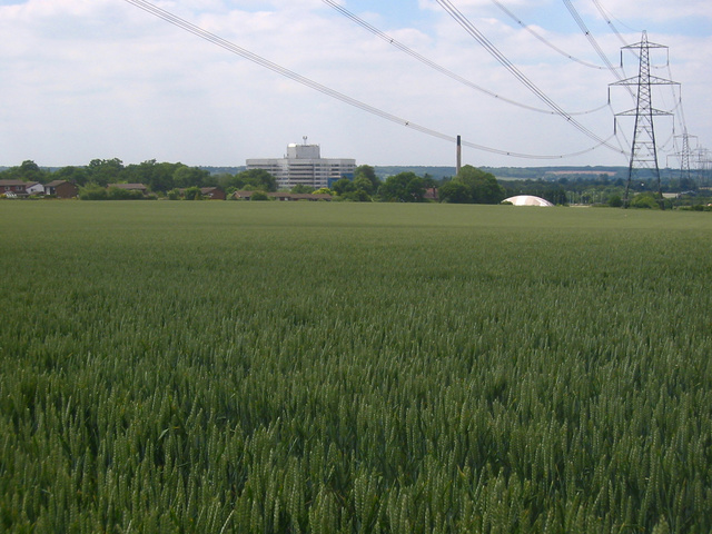
Almond's Hill is a small hill located in Hertfordshire, England. Situated in the southeastern region of the county, it forms part of the Chiltern Hills, a range of chalk hills that stretches across several counties including Buckinghamshire, Bedfordshire, and Oxfordshire.
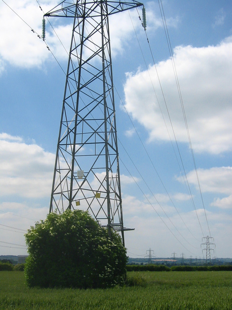
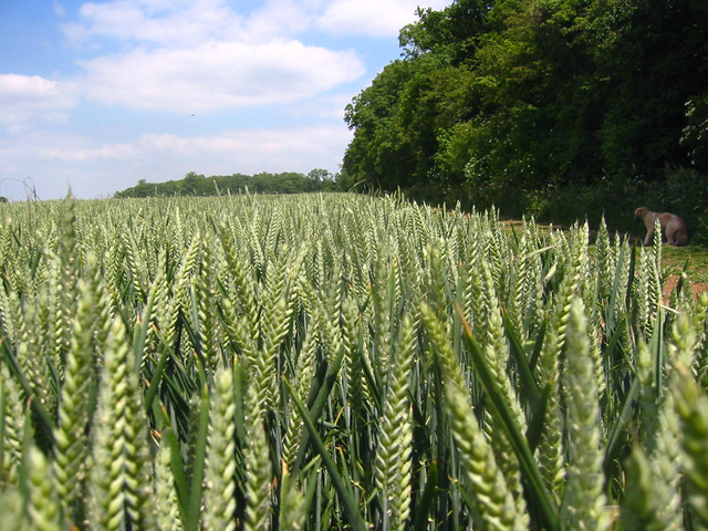
With an elevation of approximately 210 meters (690 feet), Almond's Hill offers panoramic views of the surrounding countryside. Its position within the Chiltern Hills makes it a popular destination for outdoor enthusiasts and nature lovers. The hill is covered in lush greenery, including patches of woodland and open grassy slopes.
Almond's Hill is known for its diverse wildlife, including various bird species, such as red kites, buzzards, and kestrels. The area is also home to a range of smaller mammals, including foxes, rabbits, and deer.
Access to Almond's Hill is relatively easy, with several footpaths and trails leading to the summit. These paths are used by hikers, walkers, and cyclists who enjoy exploring the beautiful countryside and taking in the scenic views.
The hill is located near the village of Aldbury, which offers amenities such as parking, refreshments, and public facilities. Visitors to Almond's Hill can also explore the nearby Ashridge Estate, a National Trust site known for its ancient woodlands and historic monuments.
Overall, Almond's Hill in Hertfordshire provides a picturesque and peaceful escape, offering breathtaking views and a chance to connect with nature in the heart of the Chiltern Hills.
If you have any feedback on the listing, please let us know in the comments section below.
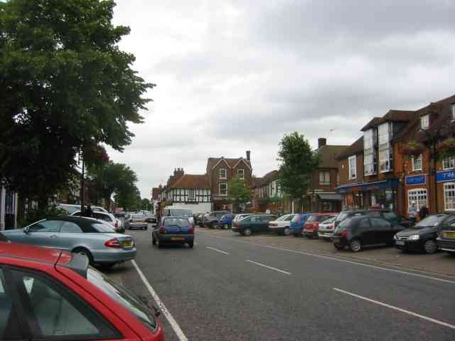
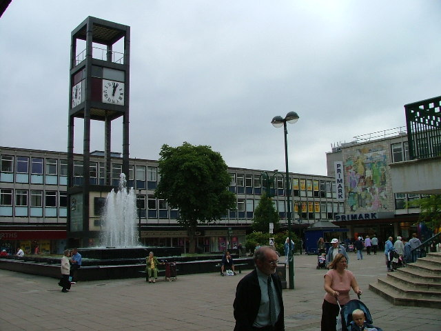
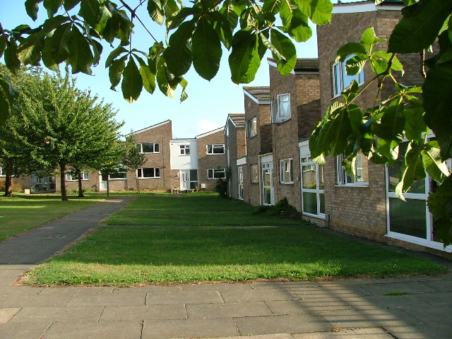
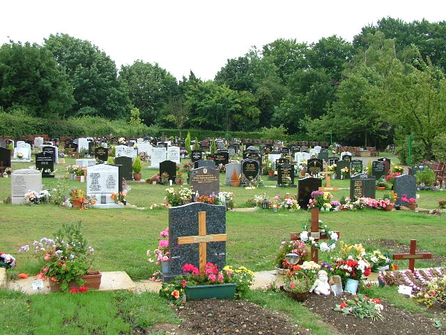
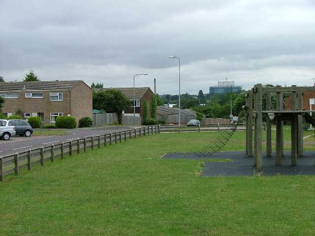
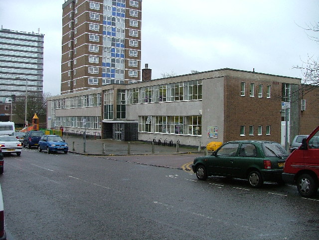
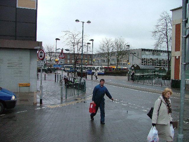
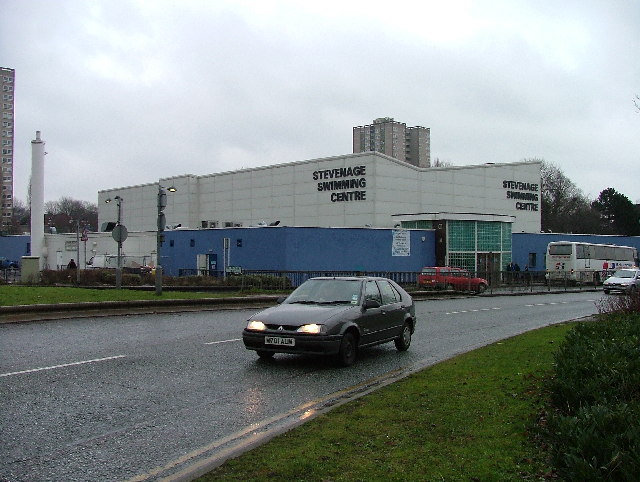
Almond's Hill Images
Images are sourced within 2km of 51.91452/-0.19377387 or Grid Reference TL2425. Thanks to Geograph Open Source API. All images are credited.


Almond's Hill is located at Grid Ref: TL2425 (Lat: 51.91452, Lng: -0.19377387)
Administrative County: Hertfordshire
District: Stevenage
Police Authority: Hertfordshire
What 3 Words
///moving.cases.vocab. Near Stevenage, Hertfordshire
Nearby Locations
Related Wikis

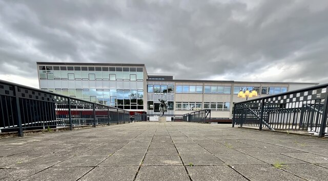
Barclay Academy
Barclay Academy is a secondary school and sixth form located in Stevenage, Hertfordshire, England. The current head teacher is Dr. Matthew Laban. Opening...

St Nicholas' Church, Stevenage
St Nicholas' Church is an Anglican parish church in Stevenage, a town in Hertfordshire, England. It occupies a hilltop site above Old Stevenage. It is...

The Thomas Alleyne Academy
The Thomas Alleyne Academy is an Academy in Stevenage, Hertfordshire, England. It was founded in 1558, when the original school was set up from the will...

Rooks Nest House
Rooks Nest House is a house on Weston Road, Stevenage, Hertfordshire. It was the childhood home of the author E. M. Forster (1879–1970) who described it...
Nearby Amenities
Located within 500m of 51.91452,-0.19377387Have you been to Almond's Hill?
Leave your review of Almond's Hill below (or comments, questions and feedback).