Perching Hill
Hill, Mountain in Sussex Mid Sussex
England
Perching Hill
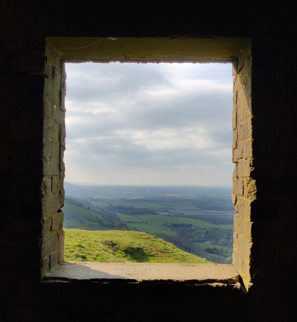
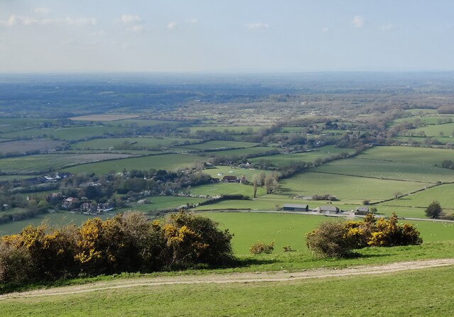
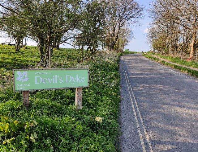
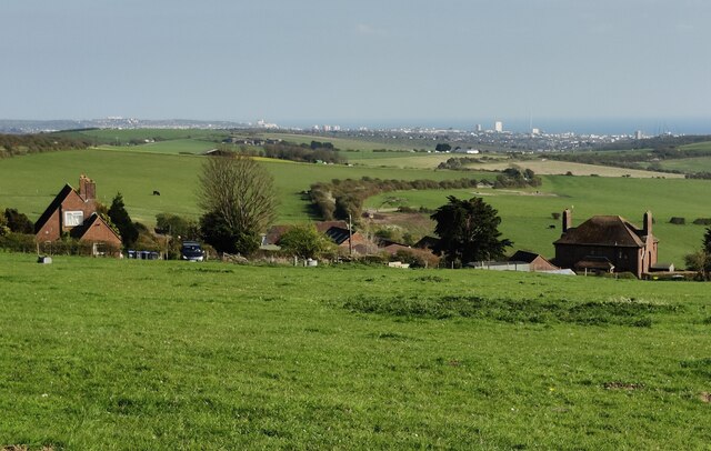
Perching Hill is a prominent landmark located in the county of Sussex, England. Situated near the village of Fulking, it is part of the South Downs National Park and offers breathtaking panoramic views of the surrounding countryside.
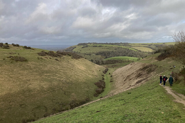
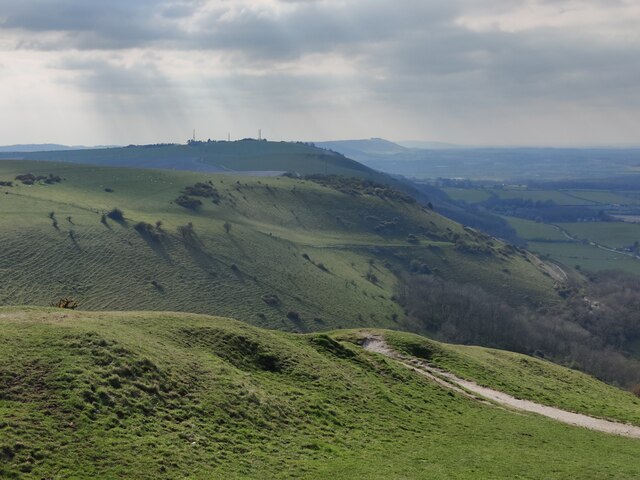
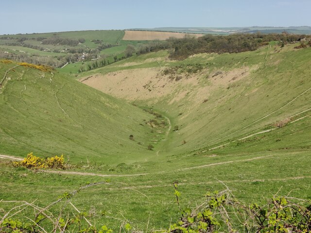
Rising to a height of approximately 250 meters (820 feet), Perching Hill is often referred to as a "hill" rather than a mountain due to its relatively modest elevation. Despite this, its location on the South Downs provides it with a commanding position that allows visitors to enjoy unrivaled vistas stretching across the rolling hills and valleys of Sussex.
The hill is known for its distinctive shape, with a gently sloping southeastern side and a steeper, more dramatic northwestern face. This topographical variation adds to its visual appeal and provides visitors with diverse perspectives depending on their vantage point.
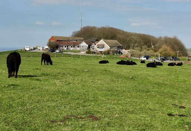
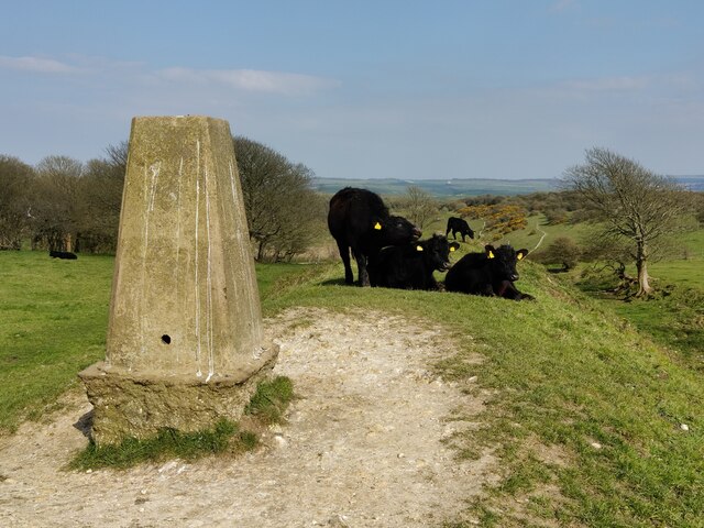
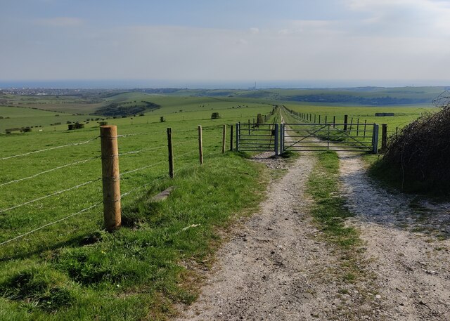
Perching Hill is a popular spot for outdoor enthusiasts and nature lovers alike. Its tranquil surroundings make it an ideal destination for hiking, picnicking, and birdwatching. The area is home to a variety of bird species, including kestrels, buzzards, and skylarks, making it a haven for birdwatchers seeking to observe these feathered creatures in their natural habitat.
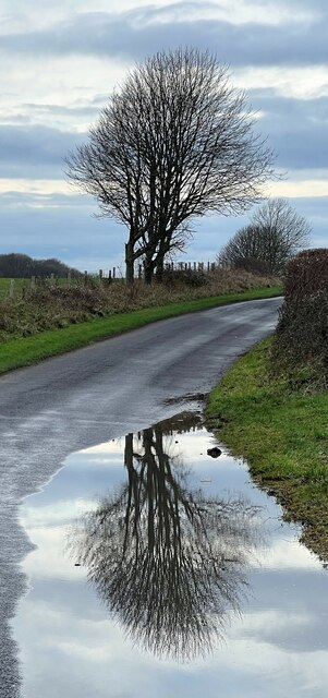
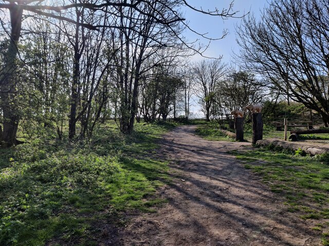
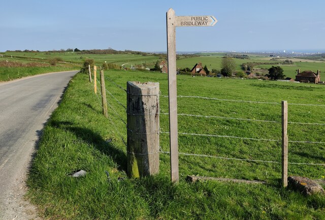
Access to Perching Hill is facilitated by a network of footpaths and trails, allowing visitors to explore the area at their own pace. The hill's proximity to nearby villages provides opportunities for visitors to enjoy local amenities and refreshments after a day of outdoor exploration.
Overall, Perching Hill in Sussex offers a picturesque setting, outstanding views, and a serene environment, making it an appealing destination for both locals and tourists seeking to experience the natural beauty of the South Downs.
If you have any feedback on the listing, please let us know in the comments section below.
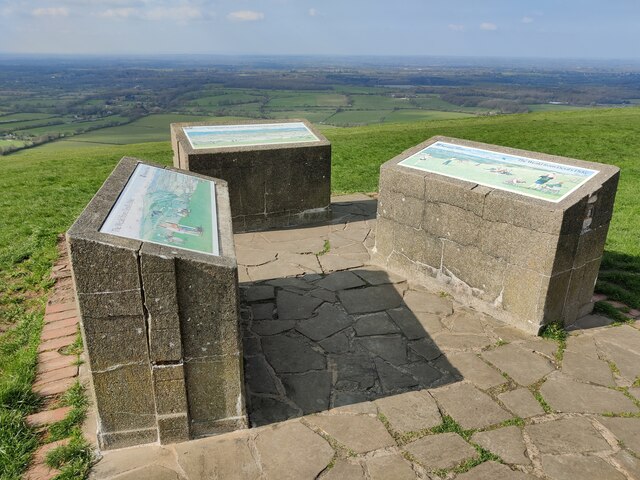
Perching Hill Images
Images are sourced within 2km of 50.883992/-0.23295214 or Grid Reference TQ2410. Thanks to Geograph Open Source API. All images are credited.

Perching Hill is located at Grid Ref: TQ2410 (Lat: 50.883992, Lng: -0.23295214)
Administrative County: West Sussex
District: Mid Sussex
Police Authority: Sussex
What 3 Words
///tape.warblers.roaring. Near Portslade, East Sussex
Nearby Locations
Related Wikis

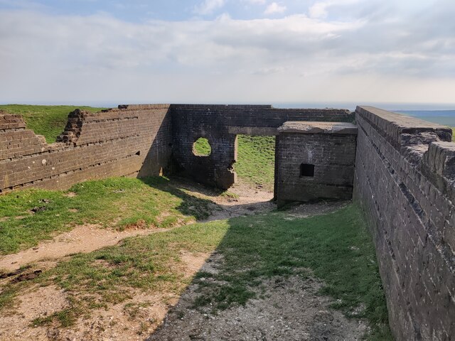
Edburton Castle Ring
Edburton Castle Ring (or Castle Rings) is an archaeological site in West Sussex, England, on the peak of Edburton Hill on the South Downs, near the villages...

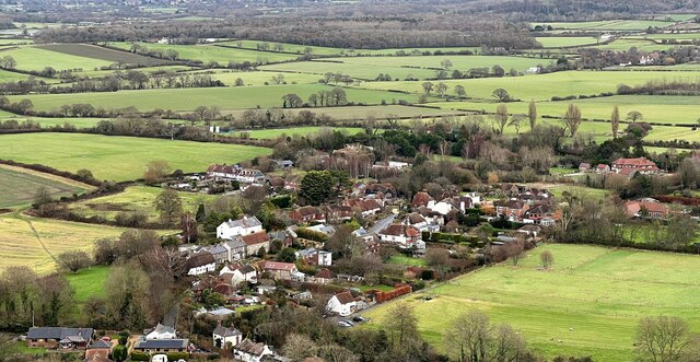
Fulking
Fulking is a village and civil parish in the Mid Sussex District of West Sussex, England. The parish lies wholly with the South Downs National Park. The...

Beeding Hill to Newtimber Hill
Beeding Hill to Newtimber Hill is a 321 ha (790-acre) biological and geological Downland Site of Special Scientific Interest (SSSI) north of Shoreham-by...

Edburton
Edburton is a small village and former civil parish, now in the parish of Upper Beeding, in the Horsham district, in the county of West Sussex, England...
Nearby Amenities
Located within 500m of 50.883992,-0.23295214Have you been to Perching Hill?
Leave your review of Perching Hill below (or comments, questions and feedback).